|
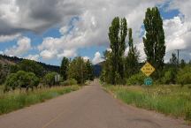
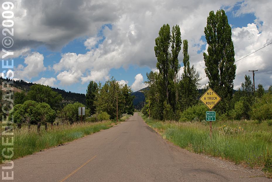
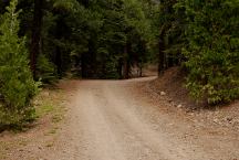
Modoc County Road#2
Looking west from Fort Bidwell, CA
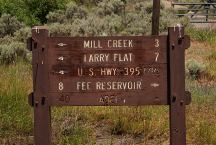
Sign at junction of Modoc County Road#2
Looking west from Fort Bidwell, CA
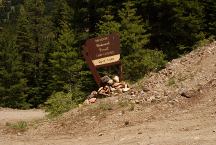
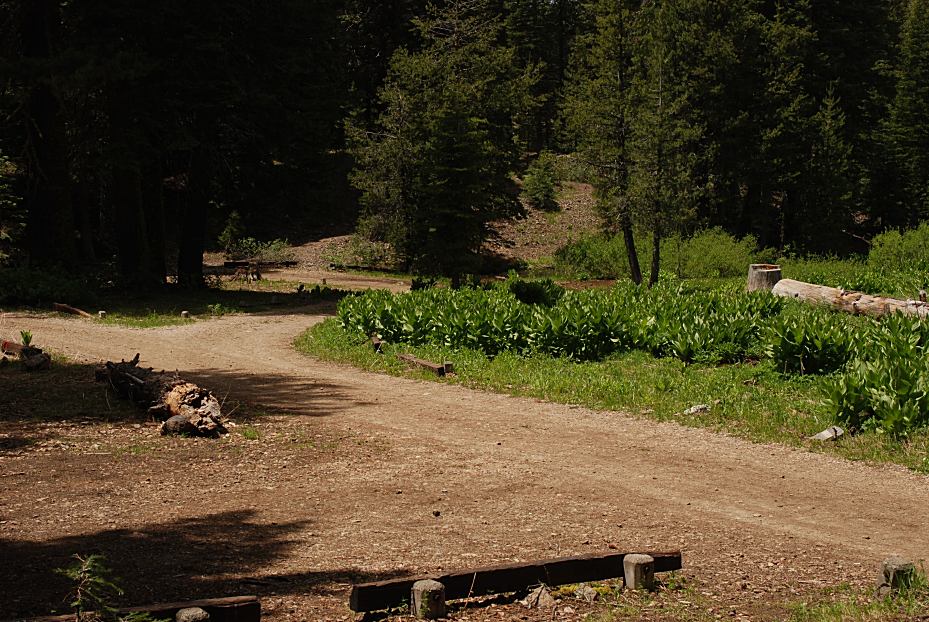
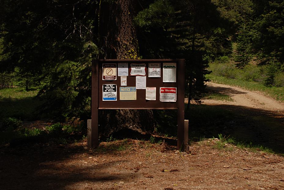
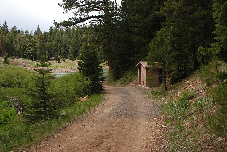
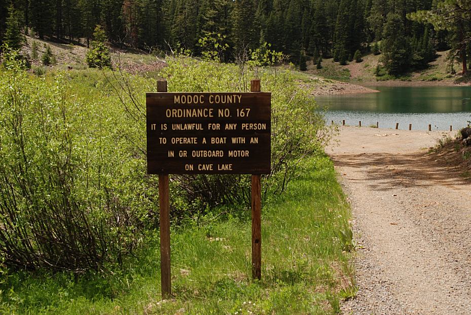
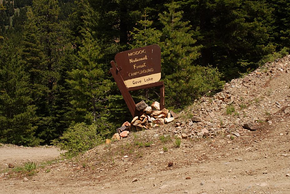
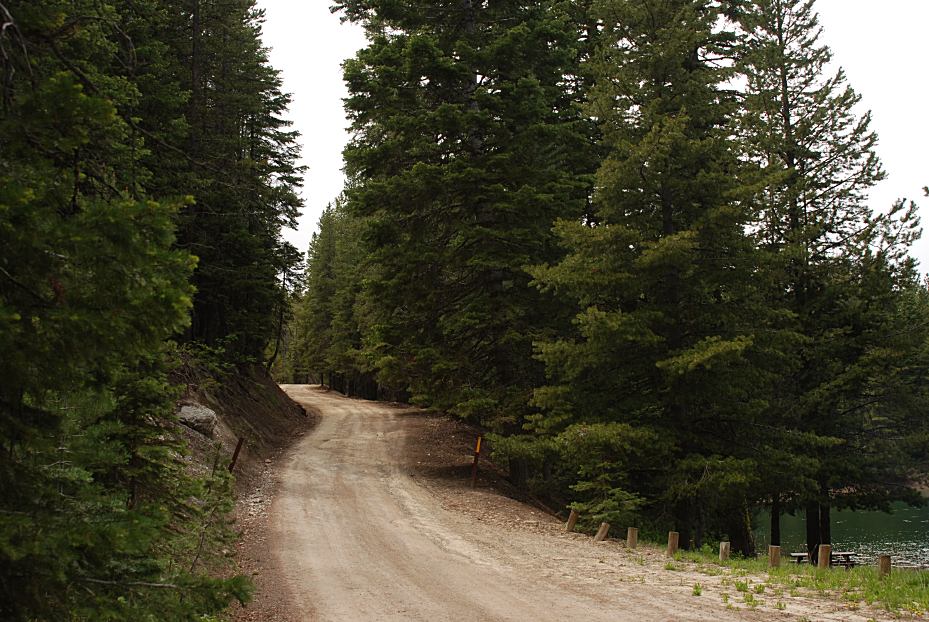
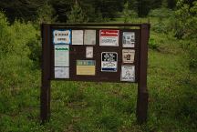
Sign at entrance to Cave Lake Campground
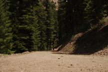
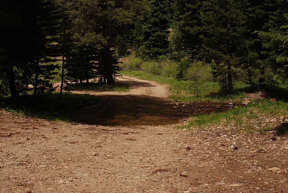
Steep Downgrade to Cave Lake Campground
DIRECTIONS:
From New Pine Creek, CA
Hwy. 395 just south of town
Turn east on County Road#2
Lily Lake is 6 miles
Cave Lake is 6 1/2 miles
(Steep downgrade to the campground)
From Fort Bidwell, CA
Take County Road #2 for 11 miles
The road is rougher from this direction.
We almost turned around.... there were
some rocks and high clearance areas.
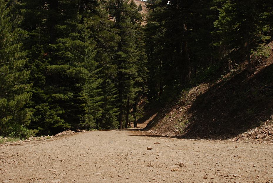
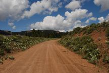
Road#2 towards Cave Lake
About 3 miles east from Hwy.395
Steep grades and mountain curves this direction.
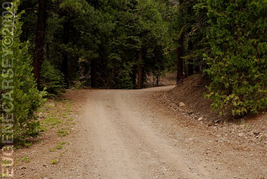
ROAD CONDITIONS:
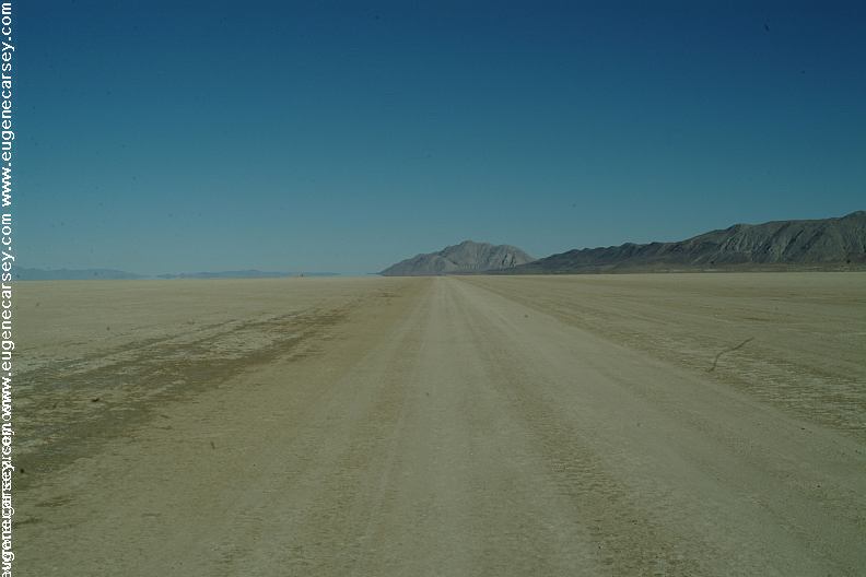
Rough dirt roads...
Narrow with limited passing areas.
Steep grades and mountain curves.
Not recommended for RVs or trailers.
Does your vehicle have good brakes and tires...
Road#2 towards Fort Bidwell are some rocks
and extra rough areas. Passenger vehicles need
to take extra caution from this direction.
MILEAGE CHART:
From Cave Lake Campground
|
Hwy.395
New Pine Creek
Fort Bidwell
Lily Lake
|
6 1/2 miles
7 miles
11 miles
1/2 mile
|
Road#2 from Hwy.395 to Fort Bidwell is 17 1/2 miles
From Hwy.395 and Road#2
Just south from New Pine Creek, CA
MAP
These are our personal hand drawn maps
Not guaranteed for accuracy
WEATHER CONDITIONS:
Winters are long and hard, with lots of
snow and cold, cold nights.

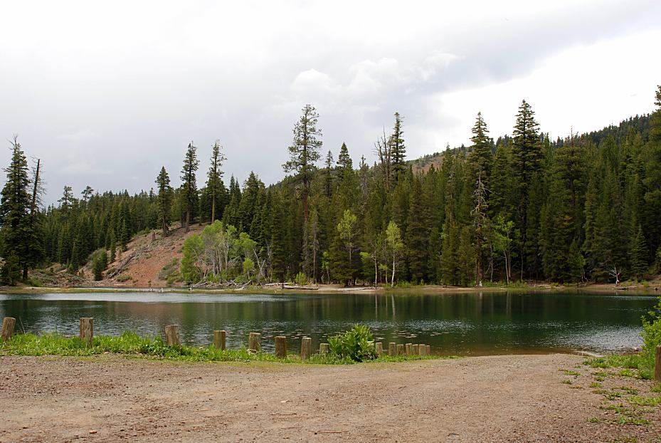
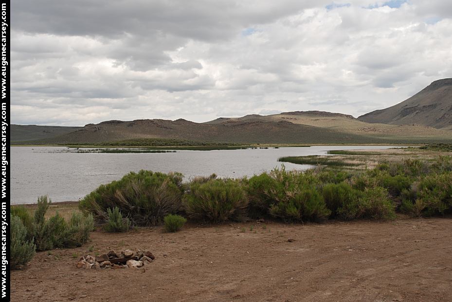
Lily Lake

Lily Lake
Lily Lake
LILY LAKE PICNIC AREA
Picnic and Boat Launch
LATITUDE: N 41°58.547
LONGITUDE: W 120°12.570
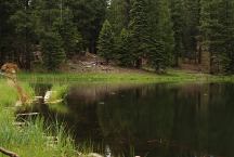
Mountain Lake
LATITUDE: N 41°59.369
LONGITUDE: W 120°14.419
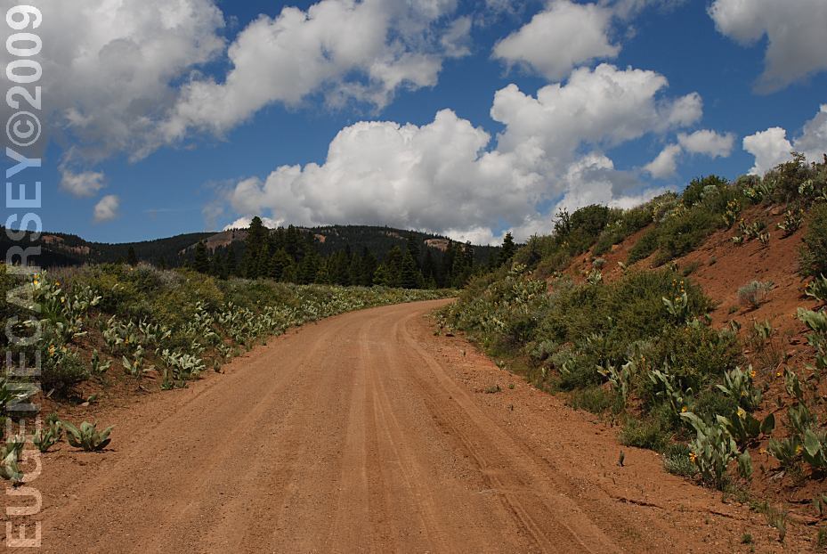
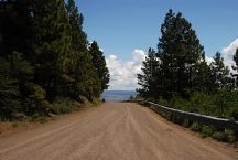
Road#2 about 3 miles east from Hwy.395
Nice dispersed camping areas around the lake.
Road#2 Looking West towards New Pine Creek, CA.
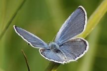
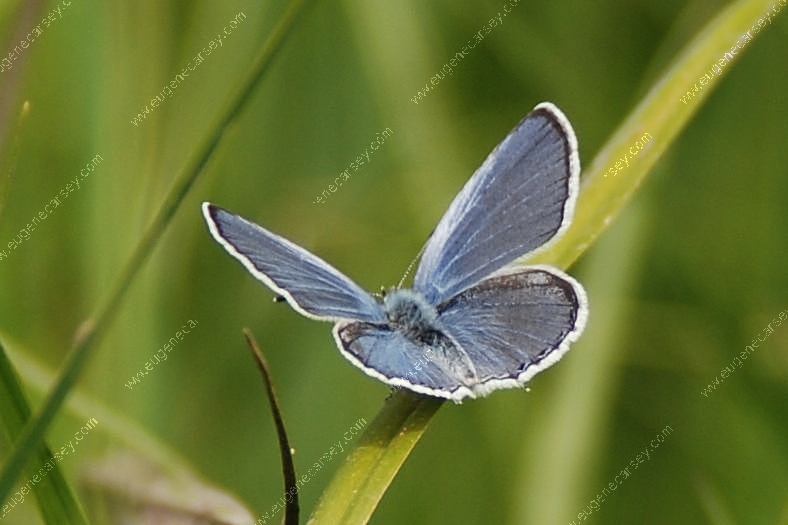
Butterfly near Mountain Lake
Road#2 about 3 miles east from Hwy.395
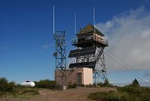
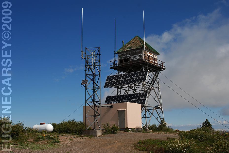
Sugar Hill Look-Out
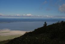
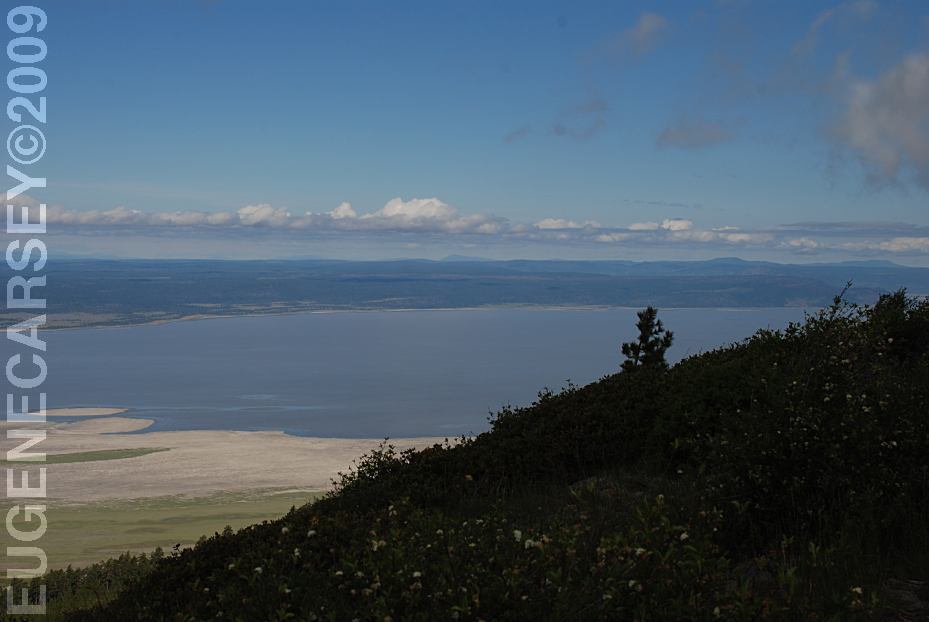
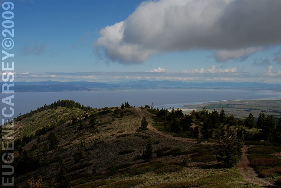
View from Sugar Hill
(Goose Lake in the background)
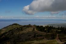
View from Sugar Hill
(Goose Lake in the background)
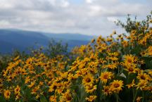
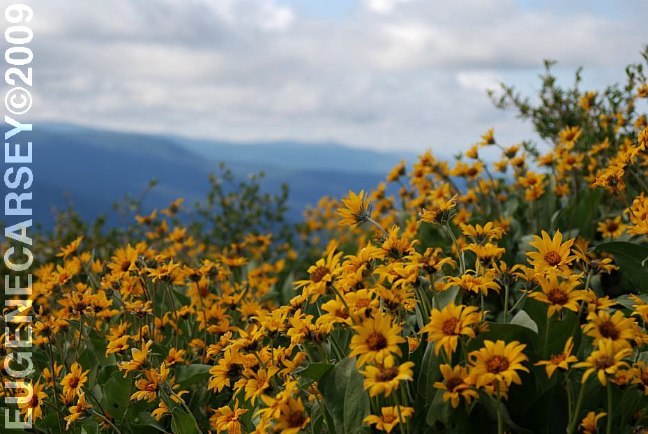
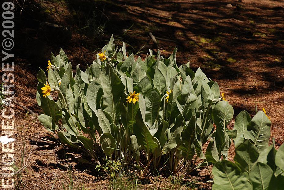
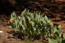
Flowers at Sugar Hill
SUGAR HILL LOOK-OUT
Spectacular views including Goose Lake.
Parking area with Vaulted Toilet
LATITUDE: N 41°48.241
LONGITUDE: W 120°19.605
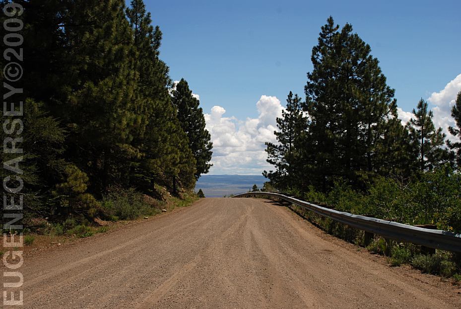
Narrow road with steep grades
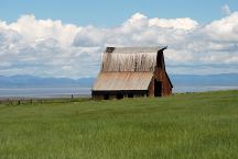
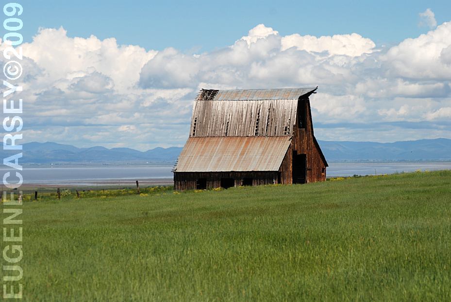
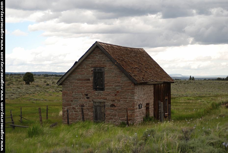
Old Barn on Road 9 with views of Goose Lake
(Towards Buck Creek GS and Fandango Pass)
Lakeview, OR 19 miles
Davis Creek, CA 13 miles
Best photos in the mornings...
Fandango Pass towards Fort Bidwell, CA.
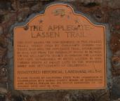
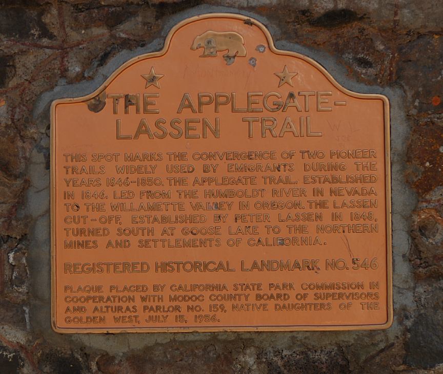
The Applegate-Lassen Trail at Fandango Pass
Fandango Pass
|