|
Also see: CHRISTMAS
VALLEY
Also see: COTTONWOOD
MEADOW LAKE
Also see: DOG
LAKE CAMPGROUND
Also see: DREWS
CREEK CAMPGROUND
Also see: HEAD OF THE RIVER C.G.
Also see: PAISLEY
/ ROAD#33
Also see: PINE MOUNTAIN OBSERVATORY
Also see: STEENS
MOUNTAIN
Also see: THOMPSON
RESERVOIR
Also see: WICKIUP
RESERVOIR / ROAD#090
Also see: WICKIUP
RESERVOIR / ROAD#4260
Also see: WICKIUP
RESERVOIR / ROAD#4280
Also see: WICKIUP
RESERVOIR / ROAD#4370
Also see: WICKIUP
RESERVOIR / ROAD#44

Google Custom Map by Ian
OREGON FREE CAMPGROUND MAP
Google custom map by Ian with most of the
free campgrounds in Oregon.
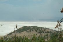
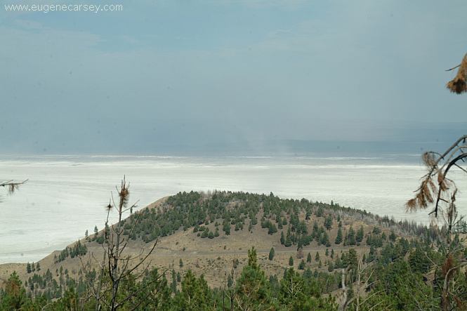
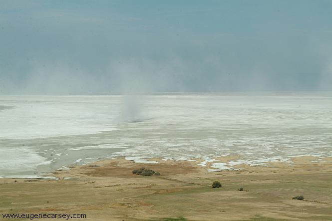
Summer Lake is mostly a Salt Flat
Summer Lake
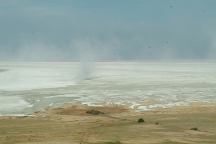
This day the winds were kicking up a dust
storm.
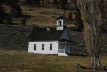
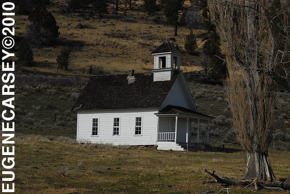
Harris Schoolhouse
South from Summer Lake, OR
Highway 31 near MP 74

Big Horn Painting at Scenic Byway Kiosk
Highway 31 near MP 70
Across from Summer Lake Store
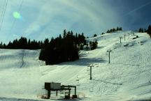
Warner Canyon Ski Area
LATITUDE: N 42°14.284
LONGITUDE: W 120°17.790
GPS from entrance gate
Highway 140 near MP 4
10 miles from Lakeview, OR
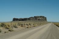
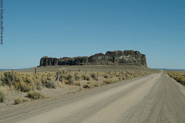
Fort Rock north from Silver Lake, OR
EAST FORT ROCK OHV TRAIL SYSTEM
West from Pine Mountain Observatory.
Camping is permitted at all the trailheads
and staging areas, as well as any existing
dispersed camps.
CAMP
II TRAILHEAD
ROAD
25 STAGING AREA
CHINA
HAT CAMPGROUND
ROAD
2510 STAGING AREA
SOUTH
LAVA TRAILHEAD
SAND
SPRINGS
SHELDON NATIONAL WILDLIFE REFUGE
Located in Nevada on Highway 140
South from Lakeview, OR
Badger
Bateman Spring
Big
Spring Reservoir
Catnip
Reservoir
Devaney
East Rock Spring
Fish
Spring
Gooch Spring
Little Catnip Spring
North Hell Creek
Virgin
Valley
West
Rock Spring
Wheeler Spring
Camped here June 13, 2006
Camped here June 21, 2008
CAMPGROUND INDEX
Complete free campground listing
CAMPING ADVICE AND TIPS
TOURIST
PHOTOS

www.eugenecarsey.com
dispersedcampgrounds.com
Free campgrounds and camping
OREGON CAMPGROUND DIRECTORY
FREMONT NATIONAL FOREST
ALDER SPRINGS CAMPGROUND
|