|
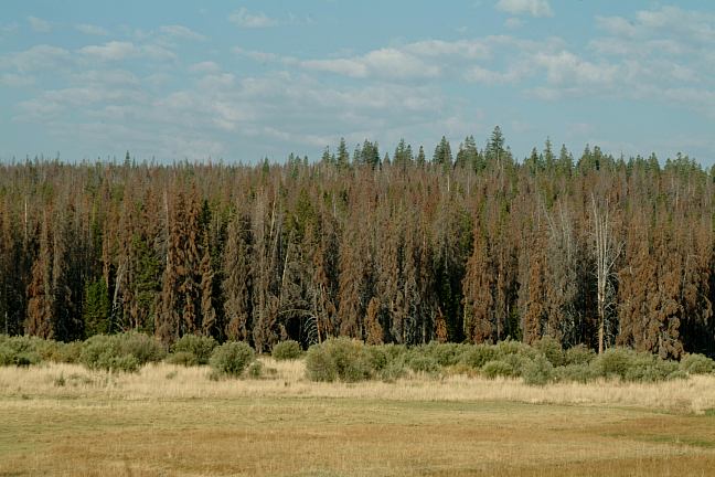
Thompson Reservoir is south from Silver Lake,
in the Fremont National Forest. There are several
established campgrounds.
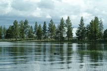
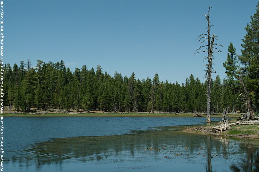
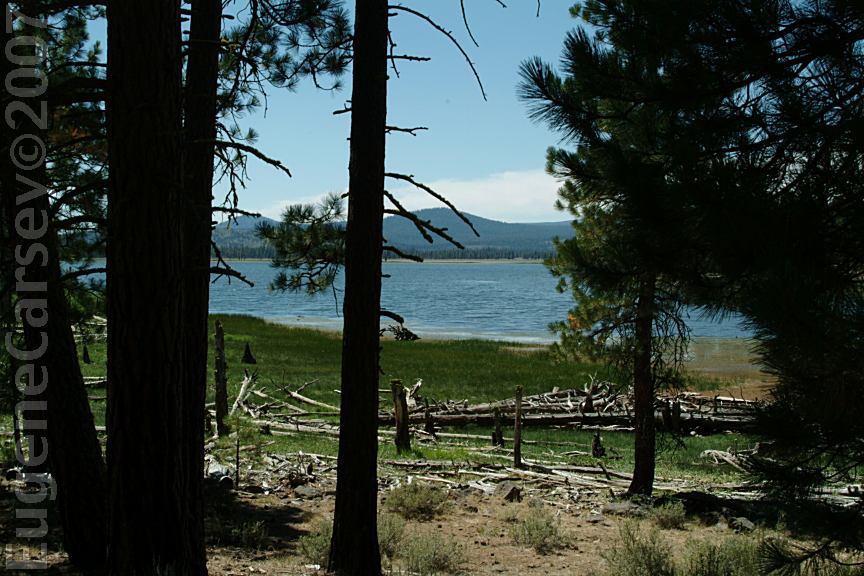
Thompson Reservoir
Thompson Reservoir
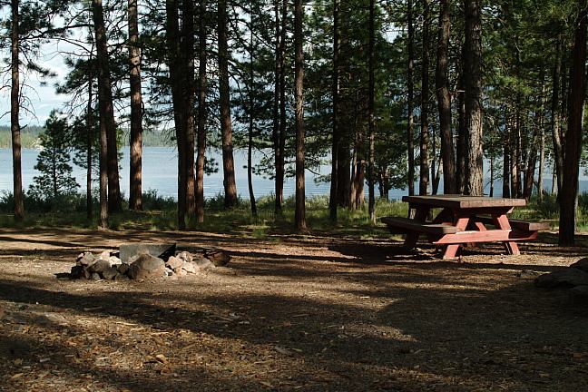
THOMPSON RESERVOIR CAMPGROUND
N 42°57.602
W 121°05.425
Picnic tables, metal firerings and BBQ Grill, outhouses
There is a hand pump for water.
There are some spur roads that lead down to the
reservoir with great campsites.
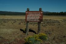
Campgrounds for recreational use only.
No industrial camping.
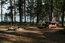
Thompson Reservoir Campground
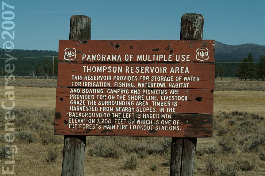
Panorama of Multiple Use...
NOTE:
We have seen these campgrounds get crowded
on the weekends during the summer months.
DIRECTIONS:
From LaPine, OR
Take Hwy.97 south for 1 1/2 mile
Take Hwy.31 for 46 miles to Silver Lake
Turn right on Silver Creek Road / Rd 4-11 / Road#27
Silver Creek Marsh Campground 10 miles
Thompson Reservoir Campground 14 miles
From Chiloquin / Hwy 97
Take Sprague River Road 5.5 miles
Turn left at Williamson Junction
Take Williamson Road 24 miles
The pavement ends and the road becomes #46
Stay on Road#46 to Road#27
Turn left on Road#27 to Thompson Reservoir
ROAD CONDITIONS:
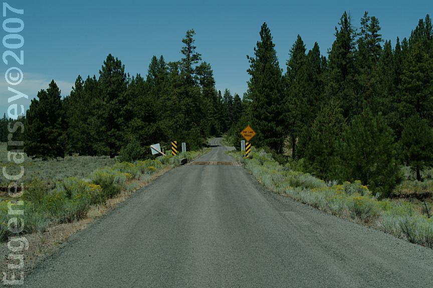
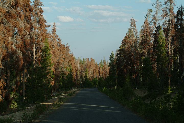
From Silver Lake the roads are paved.
Spur roads are rough dirt or gravel surfaces.
No Winter Maintenance / No Trucks
MILEAGE CHART:
From Thompson Reservoir Campground
|
Silver Lake
Bly
|
15 miles
50 miles
|
Winter conditions bring snow and bad weather.
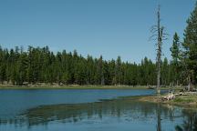
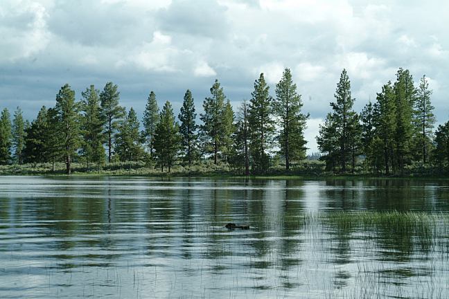
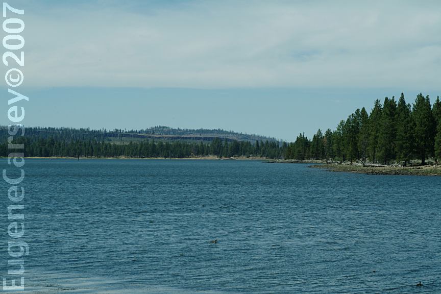
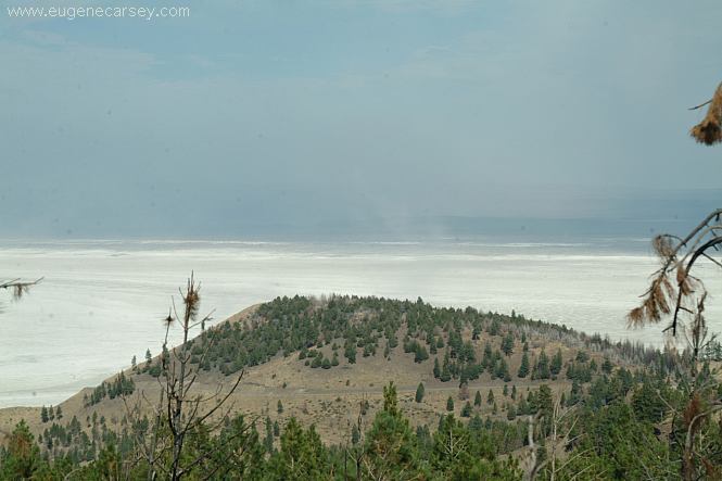
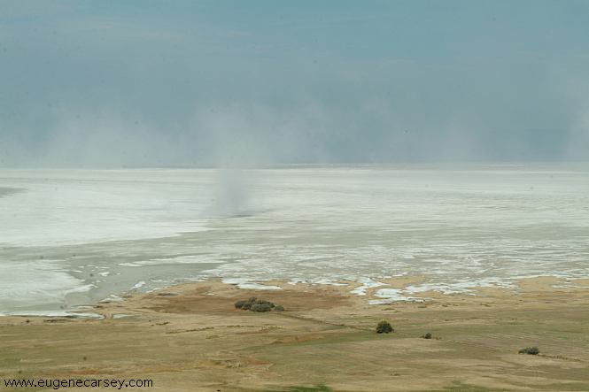
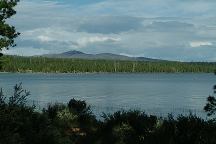
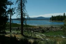
Thompson Reservoir from East Bay Campground
Thompson Reservoir from East Bay Campground

East Bay Campground
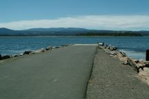
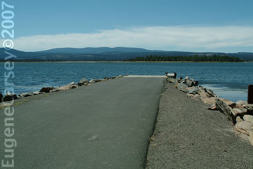
Boat Ramp at East Bay Campground
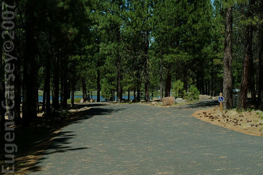
From Road#014 towards East Bay Campground

From Road#014 towards East Bay Campground
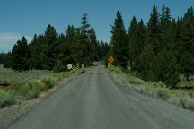
Road#28 towards Eat Bay Campground
EAST BAY CAMPGROUND $8.00
N 42°56.668
W 121°03.920
Picnic tables, metal firerings, outhouses,
garbage service, and drinking water.
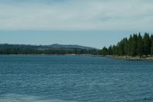
Located on Thompson Reservoir.
Road#28 south from Silver Lake, OR
|