|
|


|
Free campgrounds and camping
|
|
|
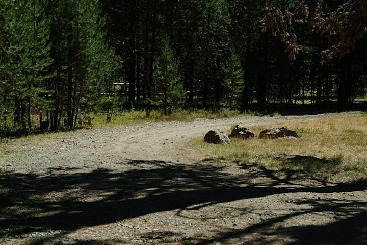
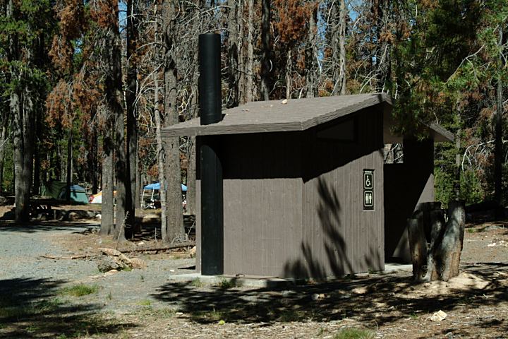
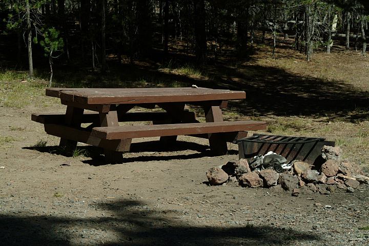
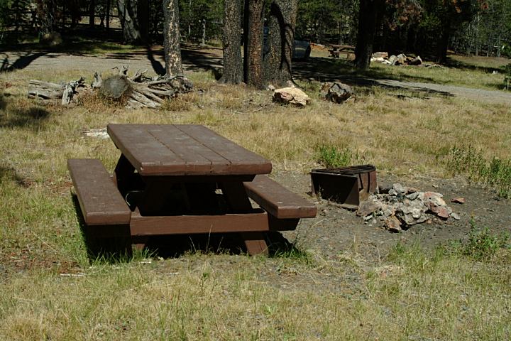
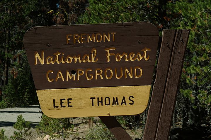
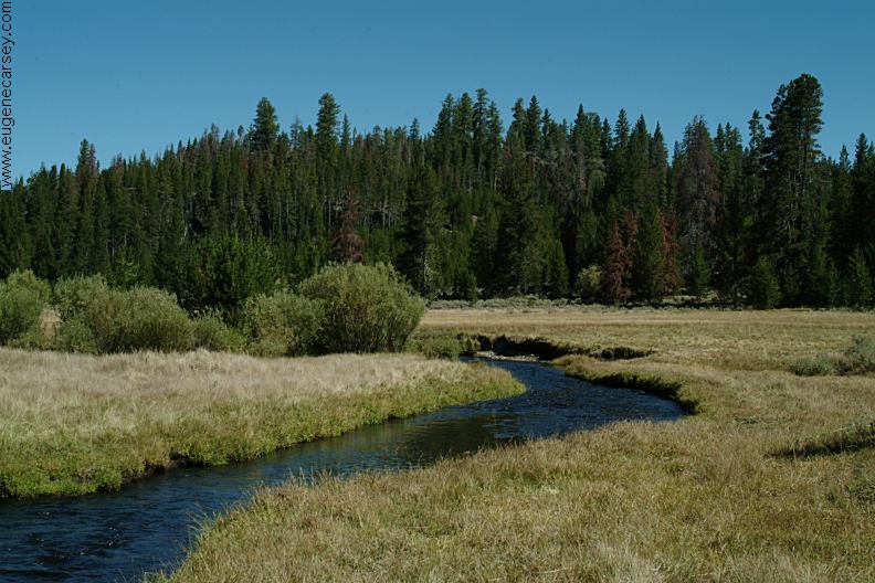
Picnic tables, firerings, and vaulted toilet. DIRECTIONS: ROAD CONDITIONS: Fremont National Forest is in serious trouble. Lee Thomas Trailhead is on Road#3411
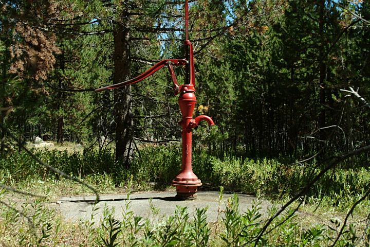
Drinking water from hand pump.
14 Day Camping Limit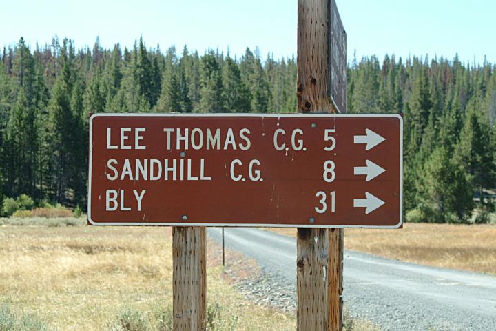
Junction of Road#28 and Road#3411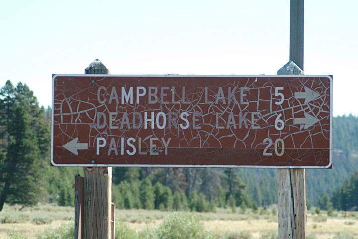
Junction of Road#28 and Road#3411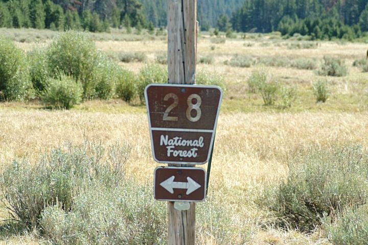
Junction of Road#28 and Road#3411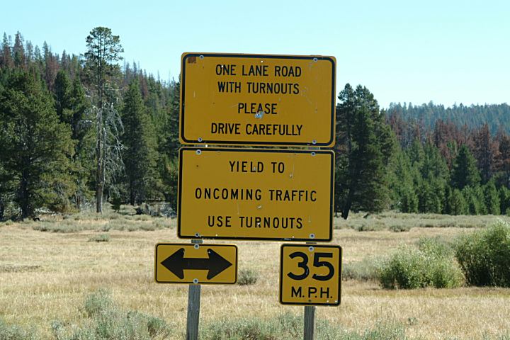
Junction of Road#28 and Road#3411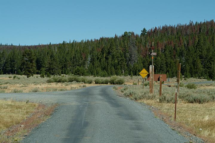
Junction of Road#28 and Road#3411
From Silver Lake, OR / Hwy.31
Road#28 between milepost 48 - 49
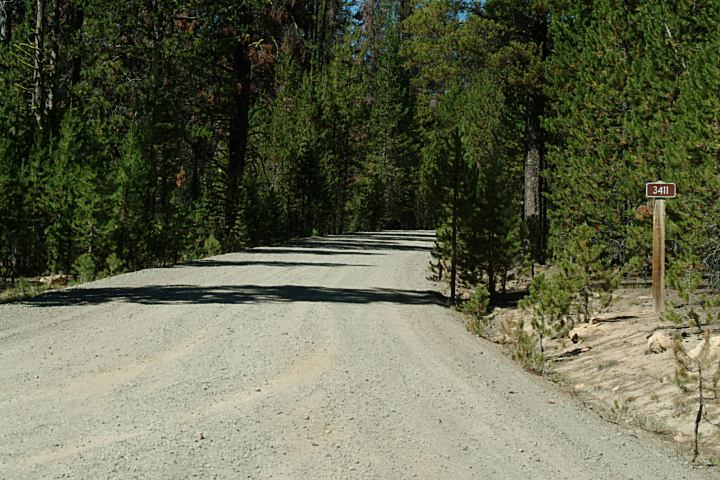
Turn on Road#3411
Lee Thomas Trailhead 4.2 miles
Lee Thomas Campground 5 miles
Sandhill Campground 8 miles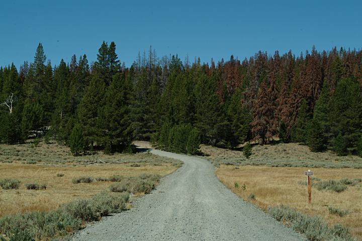
Road#3411
From Jct. of Road#28
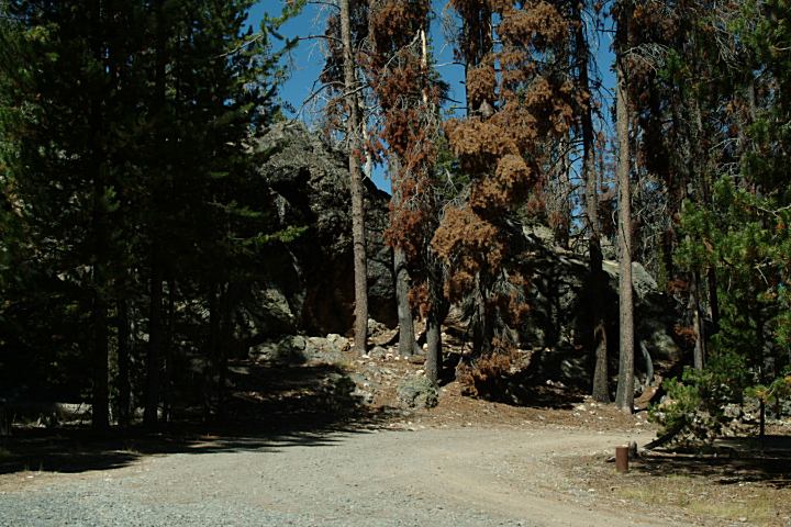
Road#3411 is gravel with some rough areas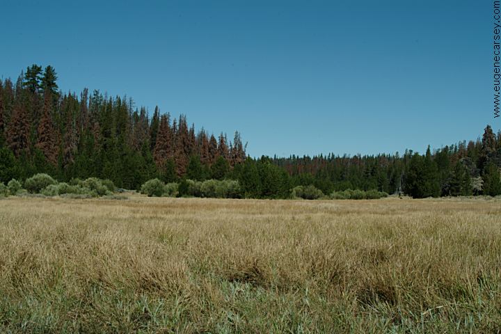
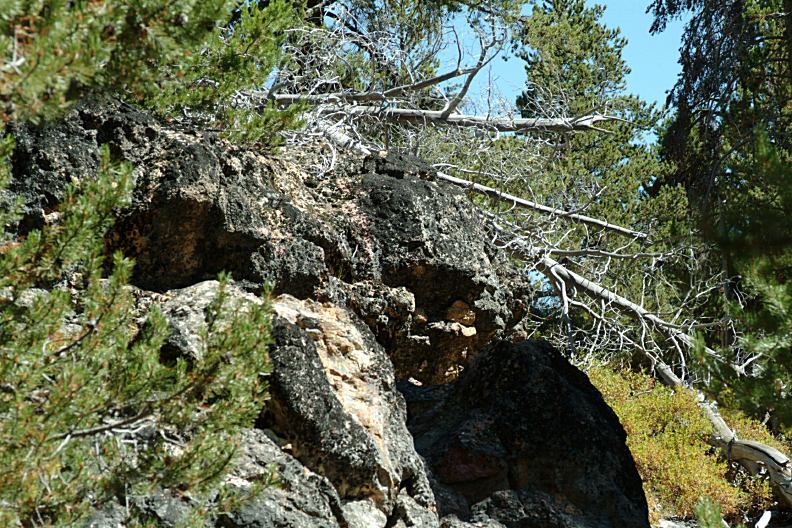
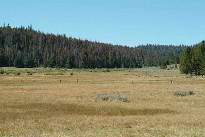
Dead Trees
Near Lee Thomas Campground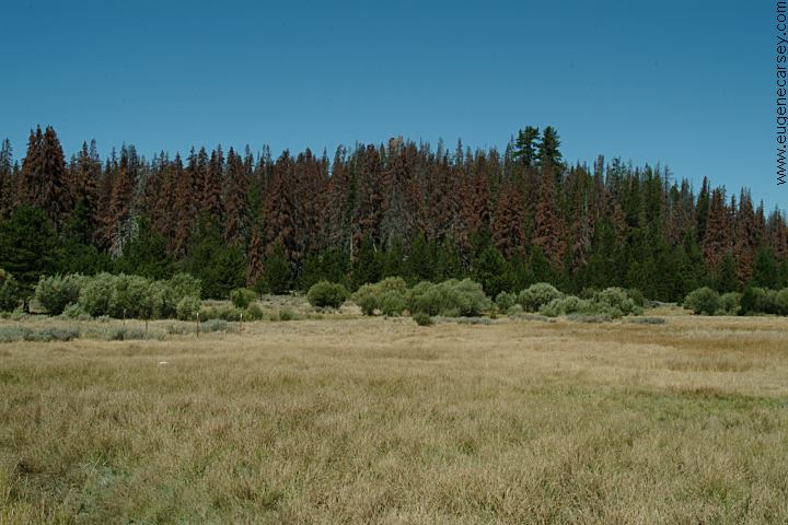
Dead Trees
Near Lee Thomas Campground
Dead trees are everywhere...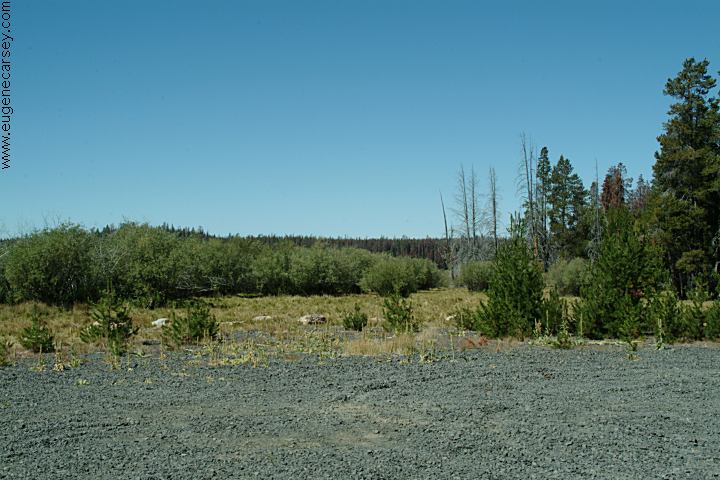
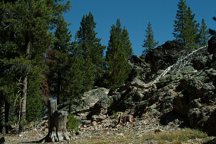
Lee Thomas Trailhead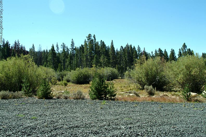
Lee Thomas Trailhead
About 1/2 mile before Lee Thomas C.G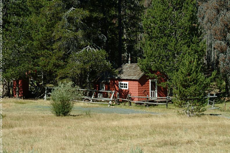
Ingram Cabin on Road#032
(Road#28 between milepost 49-50)
N 42°35.857
W 120°45.303
Wireless Internet in Lakeview.
Highway 140
1/4 mile east from Jct. of Hwy.395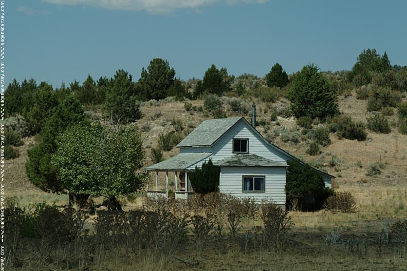
Highway 140
1/4 mile east from Jct. of Hwy.395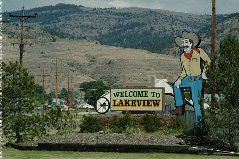
Welcome to Lakeview
Downtown at the Chamber of Commerce
Also see: ALDER SPRINGS OREGON FREE CAMPGROUND MAP This day the winds were kicking up EAST FORT ROCK OHV TRAIL SYSTEM SHELDON NATIONAL WILDLIFE REFUGE ROBERTS
BAY RECREATION AREA LOWER
CROOKED RIVER CHRISTMAS
VALLEY SAND DUNES GREEN
MOUNTAIN CAMPGROUND PICTURE ROCK PASS PETROGLYPHS CAMPGROUND INDEX Free campgrounds and camping
Also see: CHRISTMAS
VALLEY / GREEN MOUNTAIN
Also see: CHRISTMAS
VALLEY / SAND DUNES
Also see: COTTONWOOD
MEADOW LAKE
Also see: DOG
LAKE CAMPGROUND
Also see: HEAD OF THE RIVER C.G.
Also see: PAISLEY
/ ROAD#33
Also see: PINE MOUNTAIN OBSERVATORY
Also see: STEENS
MOUNTAIN
Also see: THOMPSON
RESERVOIR
Google Custom Map by Ian
Google custom map by Ian with most of the
free campgrounds in Oregon.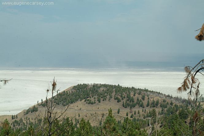
Summer Lake is mostly a Salt Flat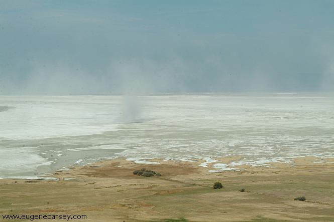
Summer Lake
a dust
storm.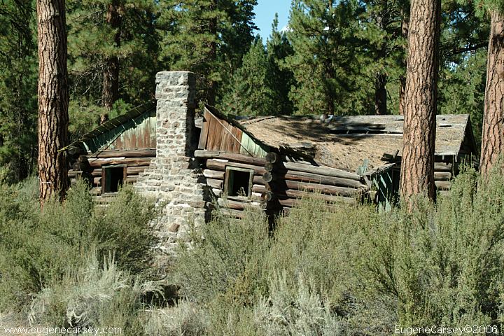
Old cabin north from Sprague River
Road#73 towards Goose Lake(California)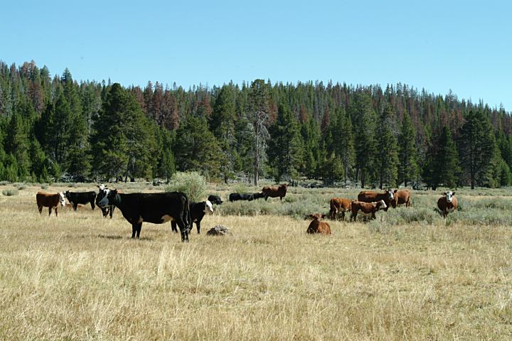
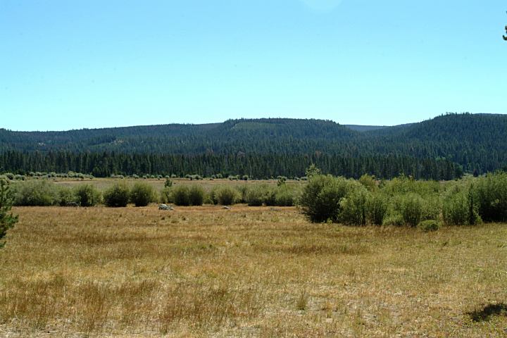
Cattle at Jct. of Road#28 and Road#3411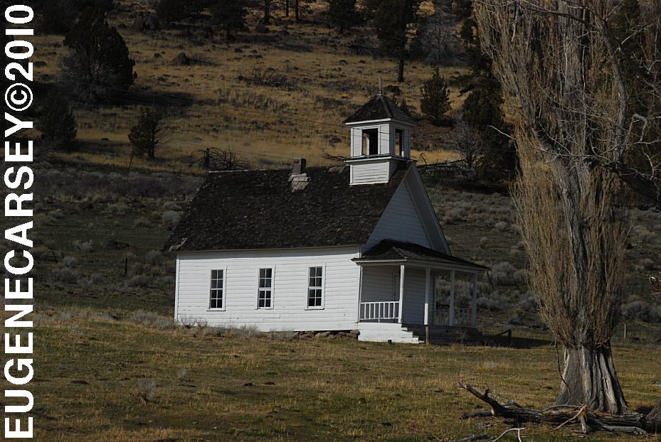
Harris Schoolhouse
South from Summer Lake, OR
Highway 31 near MP 74
Big Horn Painting at Scenic Byway Kiosk
Highway 31 near MP 70
Across from Summer Lake Store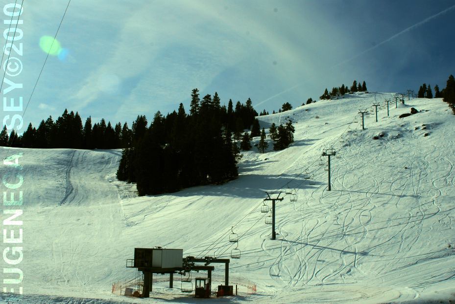
Warner Canyon Ski Area
LATITUDE: N 42°14.284
LONGITUDE: W 120°17.790
GPS from entrance gate
Highway 140 near MP 4
10 miles from Lakeview, OR
West from Pine Mountain Observatory.
Camping is permitted at all the trailheads
and staging areas, as well as any existing
dispersed camps.
CAMP
II TRAILHEAD
ROAD
25 STAGING AREA
CHINA
HAT CAMPGROUND
ROAD
2510 STAGING AREA
SOUTH
LAVA TRAILHEAD
SAND
SPRINGS
Shower House at Virgin Valley Campground
Located in Nevada on Highway 140
South from Lakeview, OR
Badger
Bateman Spring
Big
Spring Reservoir
Catnip
Reservoir
Devaney
East Rock Spring
Fish
Spring
Gooch Spring
Little Catnip Spring
North Hell Creek
Virgin
Valley
West
Rock Spring
Wheeler Spring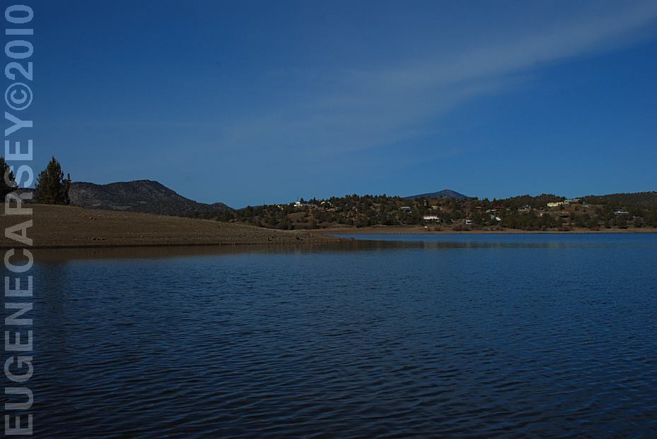
Prineville Reservoir
Viewed from Roberts Bay East #1 Campground
LATITUDE: N 44°06.810
LONGITUDE: W 120°42.020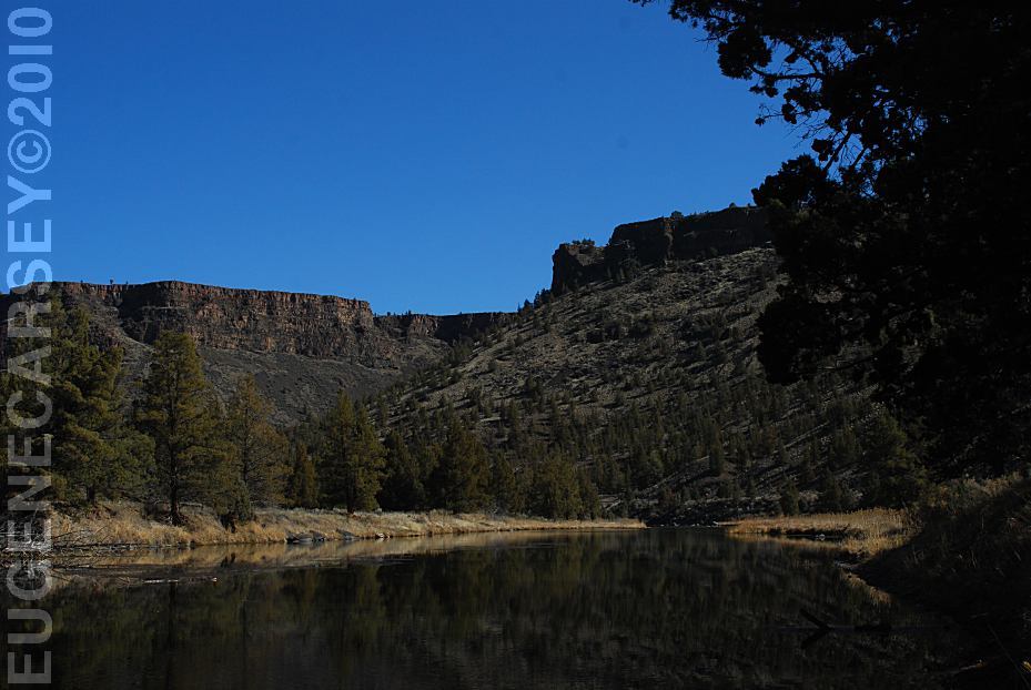
Crooked River
Viewed from Still Water Campground
LATITUDE: N 44°09.755
LONGITUDE: W 120°49.833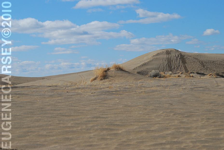
Christmas Valley Sand Dunes
LATITUDE: N 43°21.184
LONGITUDE: W 120°23.160
Elevation: 4300'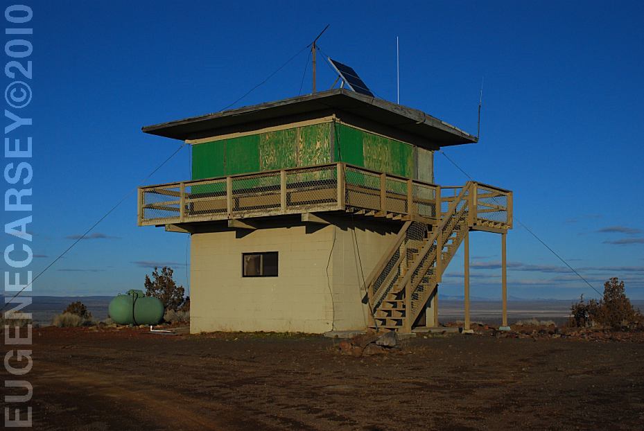
Green Mountain Lookout
LATITUDE: N 43°23.160
LONGITUDE: W 120°43.370
Elevation: 5160'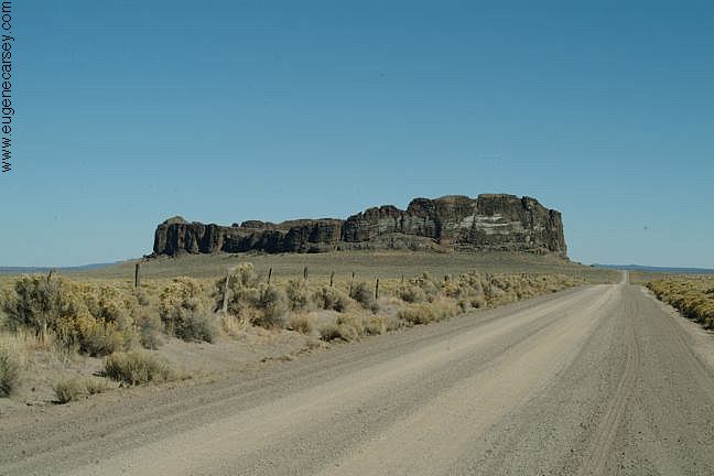
Fort Rock north from Silver Lake, OR
You used to be able to camp anywhere
at Fort Rock. There was a road up the
middle and almost to the top. If you walked
around the circumference, would be almost
guaranteed to find an arrowhead.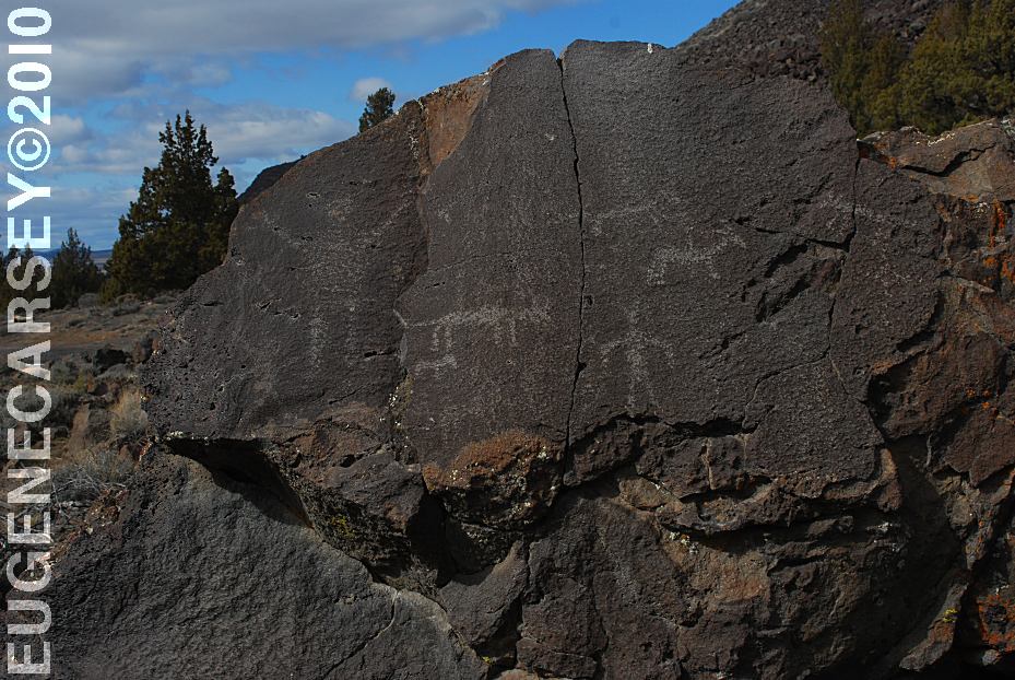
Picture Rock Pass Petroglyphs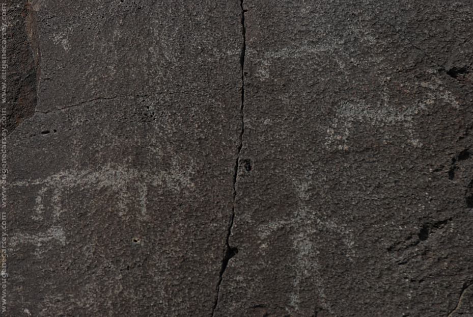
These petroglyphs are used for most of the
tourist brochures and information guides in
Lake County.
LATITUDE: N 43°02.880
LONGITUDE: W 120°48.020
Petroglyphs on Highway 31 / MP 63
Six miles north from Summer Lake, OR
There are more petroglyphs in the area.
Complete free campground listing
www.dispersedcampgrounds.com
OREGON CAMPGROUND DIRECTORY
FREMONT NATIONAL FOREST
LEE THOMAS CAMPGROUND
