http://www.dispersedcampgrounds.comhttp://www.eugenecarsey.com

Free camping and campgrounds.
OREGON CAMPGROUND DIRECTORY
PAISLEY, FS ROAD #33
FREMONT NATIONAL FOREST
LATITUDE: N 42°40.906
LONGITUDE: W 120°34.579
(GPS from near milepost#2)
Dispersed and Primitive Camping

Camp Area
Camp area viewed from Road#33

Paisley is a nice little town.

Camp Area
Camp just past Milepost#2
N 42°40.702
W 120°35.071
(GPS from Road#33)

Old Mine Shaft
Old mine shaft across from this campsite.

Camp Area
Large camp area... good for RVs
N 42°40.435
W 120°35.149

Camp area on Road#33

Primitive firerings
Primitive firerings

Along the Chewaucan River just south
of Paisley on Road#33 are several primitive
campsites (between milepost #2 an milepost#5)
Some have picnic tables and firerings.

Chewaucan River
Chewaucan River

Chewaucan River
Chewaucan River

Road to Campsite
Road to another campsite

Gravel Pit
Gravel pit area good for RVs.
Road#33 near Milepost#6
N 42°38.328
W 120°36.254

Road 33 Paisley
This from was our campsite
About 2-3 miles from Paisley on Road#33.

Flowers on Road 33
Flowers on Road#33
August 4, 2007

Flowers on Road 33
Flowers on Road#33
August 4, 2007

Camp on Road 33
Camp on Road#33 near Jct. of Road#28

Bidge on Road 33
Road#33 near Jct. of Road#28

"A good campsite has shade, grass, and a river.
You can get by with two of those, but not one."
Quote heard at Marster Springs Campground

Road 33 and Road 28
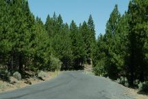
Road#33 towards Jct. of Road#28

DIRECTIONS:
From Hwy.31 / Paisley, OR
Take Mill St. / FS Road#33
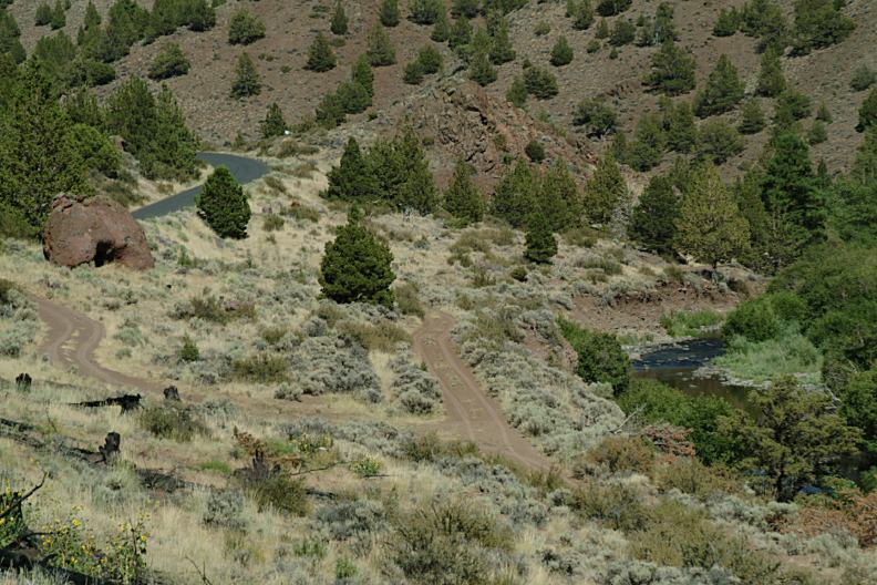
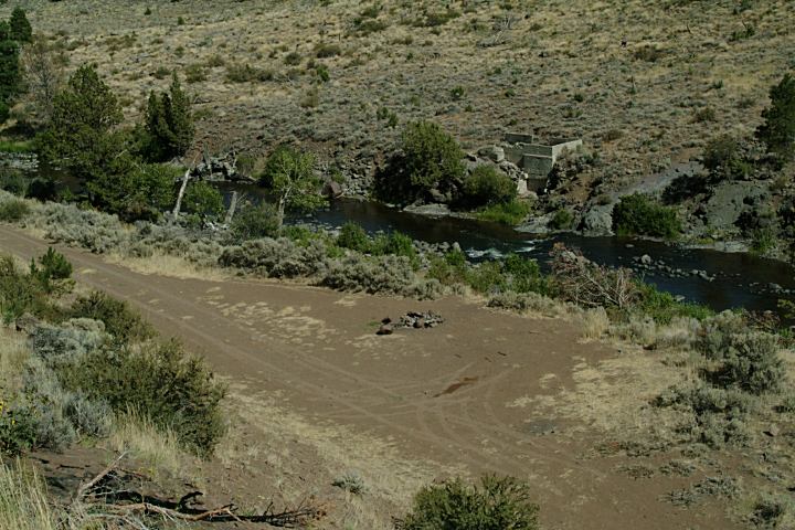
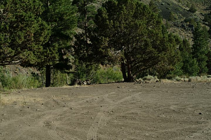
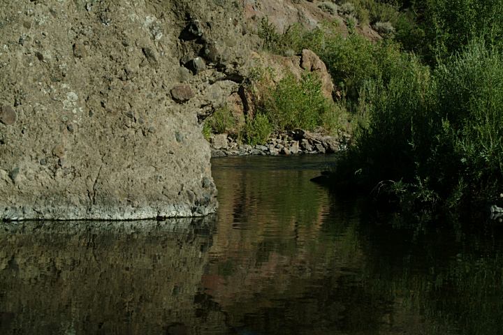
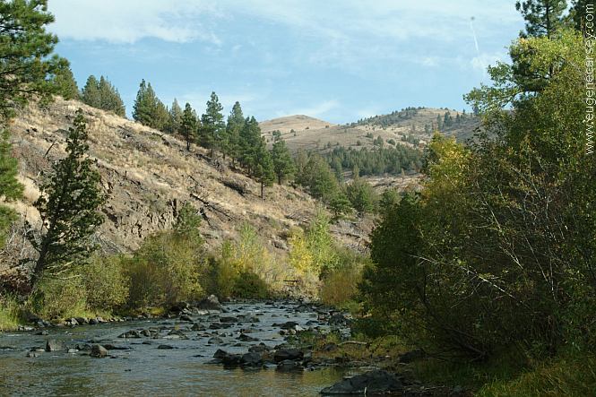
About 2 miles and you will start seeing roads
that lead down to the river.
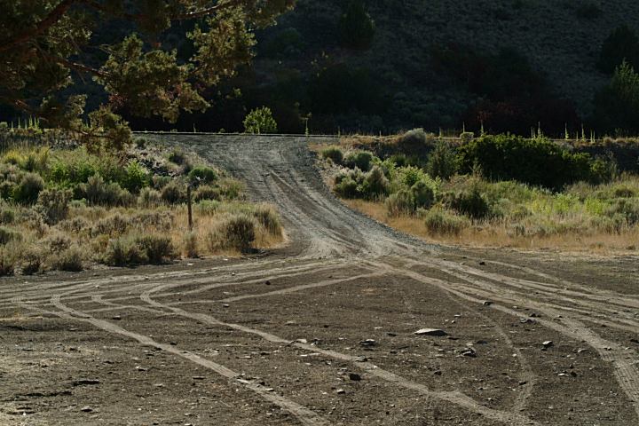
ROAD CONDITIONS:
Road#33 is paved.
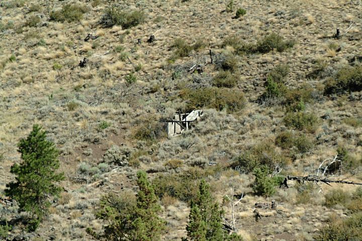
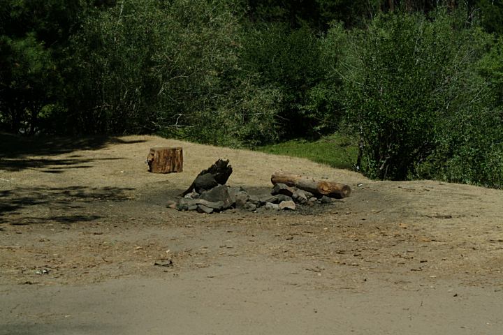
The spur roads to campsites are various
conditions. For each campsite you need
to inspect the road and determine the
capabilities of the vehicle

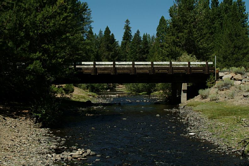
If you continue on FS Road#33, Marster
Springs Campground and Jones Crossing
Forest Camp are both established campgrounds.
FS Road#33 ends at the junction of FS Road#28.
If you go towards Lakeview, Dairy Point Forest
Camp is an established campground at the junction
of Road#28 and Road#3428.

If going north on FS Road#28 to Thompson
Reservoir, you'll find Silver Creek Marsh
Campground and Thompson Reservoir
Campground. Both campgrounds were full,
but is a nice area, and you could camp almost
anywhere along the road.

MILEAGE CHART:
From Paisley, OR
(Jct. of Hwy.31 and Rd.#33)

Marster Spring C.G.
Coffee Pot Flat

Lakeview
Bend

8 miles
13 miles

xx miles
xx miles

Road 33 towards Road 28
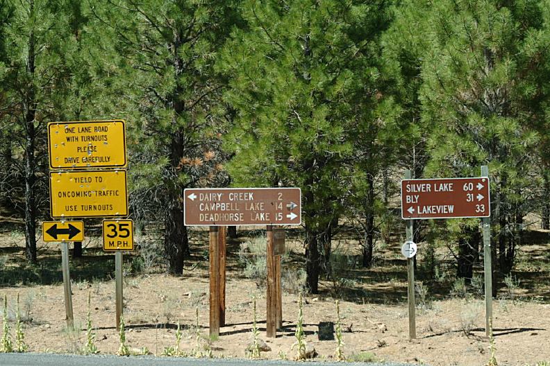
Road#33 at the Jct. of Road#28

MILEAGE CHART:
(Jct. of Road.#33 and Road#28)

Silver Lake
Bly 31
Campbell Lake
Deadhorse Lake

Lakeview

60 miles
31 miles
14 miles
15 miles

33 miles

Summer Lake
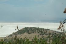
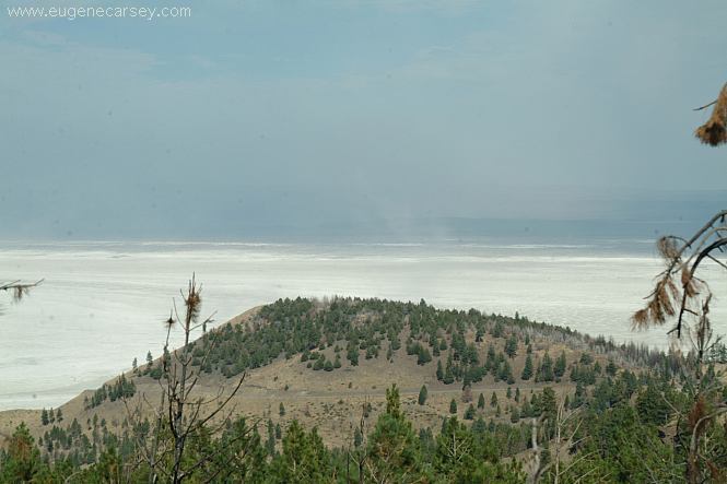
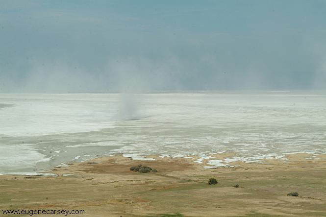
Summer Lake is mostly a Salt Flat
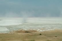
Summer Lake
Summer Lake

This day the winds were kicking up a dust storm.

MORE ESTABLISHED CAMPGROUNDS
FREMONT-WINEMA NATIONAL FORESTS
BLY RANGER DISTRICT
Corral Creek Forest Camp
Holbrook Reservoir Forest Camp
Lofton Reservoir Campground
LAKEVIEW RANGER DISTRICT
Cottonwood Meadows Lake
Deep Creek Forest Camp
Dismal Creek Forest Camp
Dog Lake Campground
Drews Creek Campground
Mud Creek Forest Camp
Overton Reservoir
Vee Lake Camp
Willow Creek Forest Camp
PAISLEY RANGER DISTRICT
Campbell Lake Campground
Chewaucan Crossing Campground
Clear Springs Forest Camp
Dairy Point Forest Camp
Deadhorse Creek Forest Camp
Deadhorse Lake Campground
Happy Camp Campground
Jones Crossing Forest Camp
Lee Thomas Campground
Marsters Spring Campground
Pike's Crossing Forest Camp
Rock Creek Forest Camp
Sandhill Crossing Campground
Upper Jones Forest Camp
SILVER LAKE RANGER DISTRICT
Alder Springs
East Bay Campground
Silver Creek Marsh Campground
Thompson Campground

BLM RECREATION SITES
Dog Lake Campground
Gerber BLM Recreation Site

IT IS YOUR RESPONSIBILITY TO KNOW
WHAT FIRE RESTRICTIONS ARE IN EFFECT

Summer Lake Hot Springs is a couple miles
from Paisley. It always sounded interesting, but
haven't actually been there. You can see it from
Highway 31.

Also see: ALDER SPRINGS
Also see:
COTTONWOOD MEADOW LAKE
Also see:
DOG LAKE CAMPGROUND
Also see:
DREWS CREEK CAMPGROUND
Also see:
HEAD OF THE RIVER C.G.
Also see:
NEWBERRY CRATER and MONUMENT
Also see:
THOMPSON RESERVOIR
Also see:
WICKIUP RESERVOIR / ROAD#090
Also see:
WICKIUP RESERVOIR / ROAD#4260
Also see:
WICKIUP RESERVOIR / ROAD#4280
Also see:
WICKIUP RESERVOIR / ROAD#4370
Also see:
WICKIUP RESERVOIR / ROAD#44

Google Custom Map Free Oregon Campgrounds
Google Custom Map by Ian

OREGON FREE CAMPGROUND MAP
Google custom map by Ian with most of the
free campgrounds in Oregon
.

Fort Rock
Fort Rock north from Silver Lake, OR
You used to be able to camp anywhere at Fort Rock.
There was a road up the middle and almost to the top.
If you walked around the circumference, would be
guaranteed to find an arrowhead.

CAMPGROUND INDEX
Complete free campground listing

CAMPING ADVICE AND TIPS

TOURIST PHOTOS

Camped here Sept.30, 2005
Camped here Aug.03, 2007

Copyright Notice
www.eugenecarsey.com

dispersedcampgrounds.com
Free campgrounds and camping
OREGON CAMPGROUND DIRECTORY
PAISLEY, FOREST SERVICE ROAD #33
FREMONT NATIONAL FOREST