|
Road#73
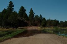
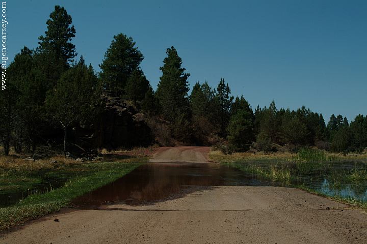
Road#73
DIRECTIONS:
From Altures take Hwy.299 west
About 3 miles turn right on Road#73
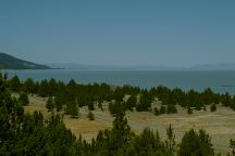
Big Sage Reservoir is 9 miles
MAP
These are our personal hand drawn maps
Not guaranteed for accuracy
MILEAGE CHART:
From the Jct. of Hwy.299 and Road#73
Big Sage Reservoir 9 miles
Blue Mountain Lookout 32 miles
Chowder Flat 33 miles
Road#73 towards Goose Lake
Also see: ALDER SPRINGS
Also see: COTTONWOOD
MEADOW LAKE
Also see: DOG
LAKE CAMPGROUND
Also see: DREWS
CREEK CAMPGROUND
Also see: HEAD OF THE RIVER C.G.
Also see: JANES RESERVOIR
Also see: LAVA CAMP
Also see: McCLOUD
RESERVOIR
Also see: SHASTA
LAKE
Also see: SLAGGER CAMP
Also see: THOMPSON
RESERVOIR
Also see: TRINITY
LAKE
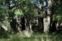
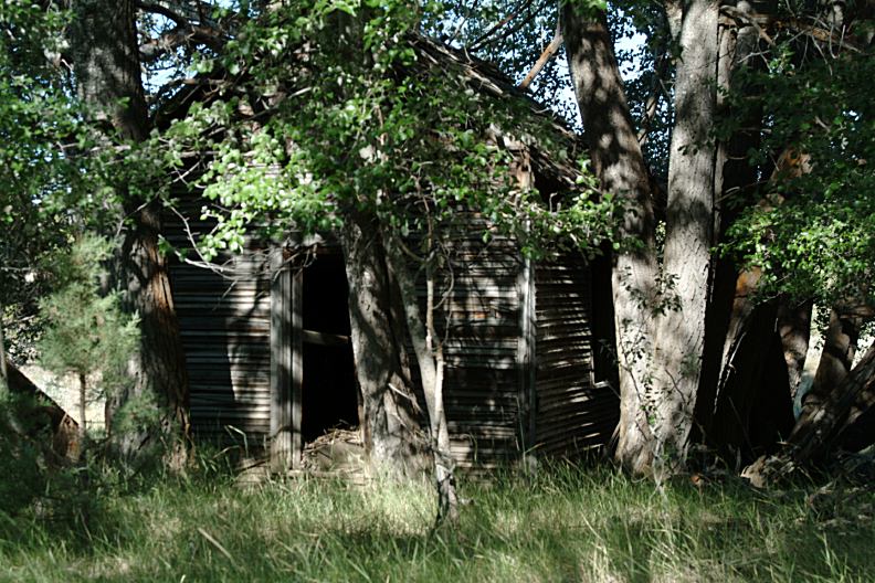
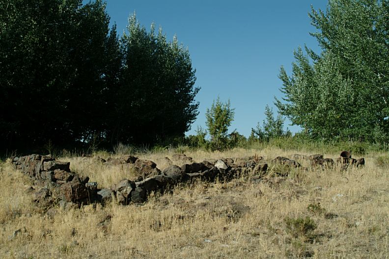
Old building at Round Valley
The building is hidden in the trees
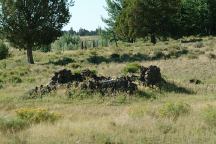
Old foundation at Round Valley

Old foundation at Round Valley
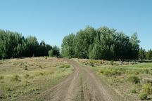
Road#43N to Round Valley
ROUND VALLEY
N 41°40.658
W 120°50.470
CAMPGROUND INDEX
Complete free campground listing
CAMPING ADVICE AND TIPS
TOURIST
PHOTOS

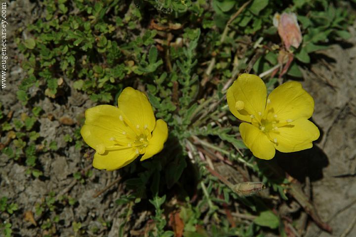
Big Sage Wildflowers

www.eugenecarsey.com
dispersedcampgrounds.com
Free campgrounds and camping
CALIFORNIA CAMPGROUND DIRECTORY
MODOC NATIONAL FOREST
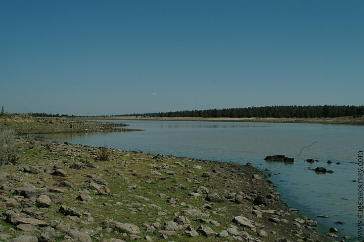
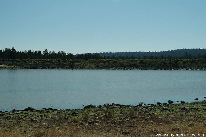
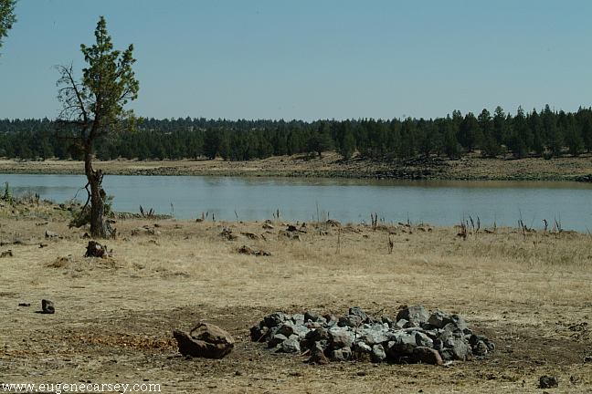
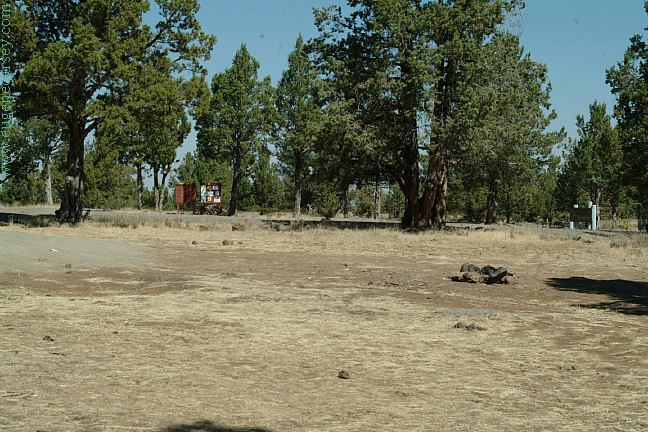
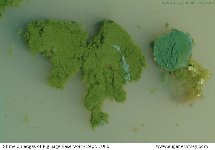
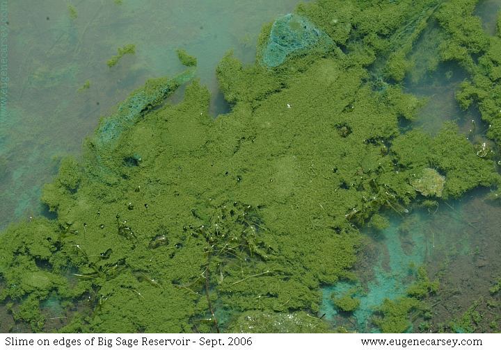
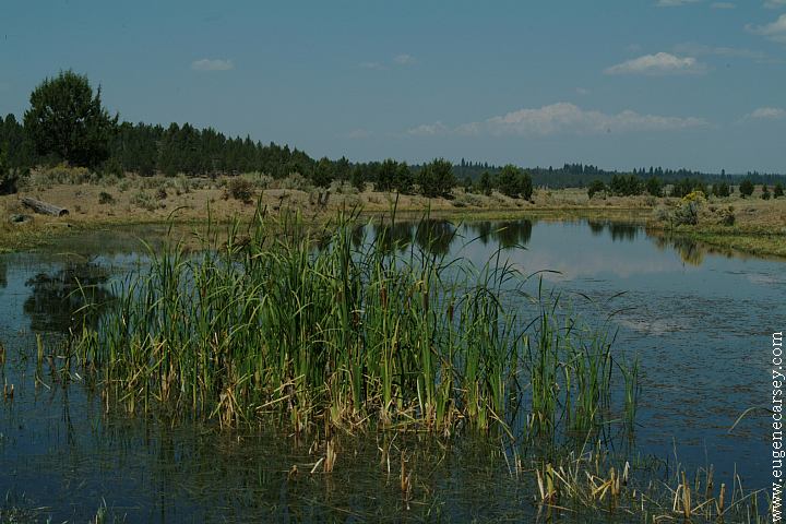
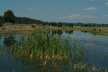
BIG SAGE RESERVOIR
|