|
|


|
Free campgrounds and camping
|
|
|
|
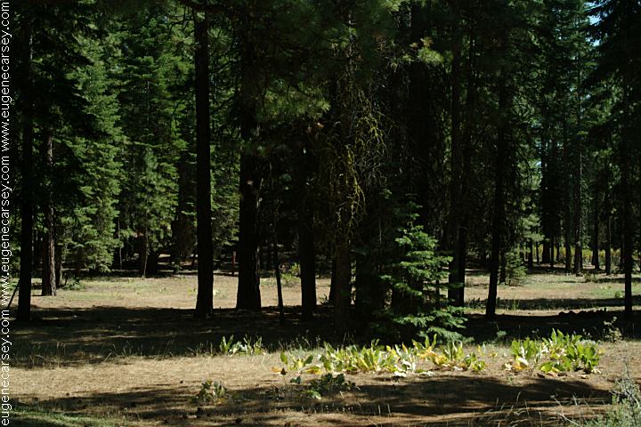
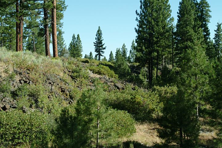
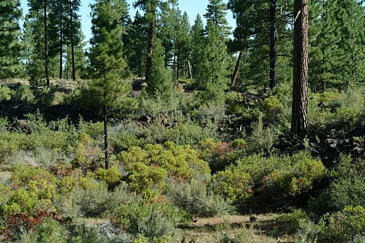
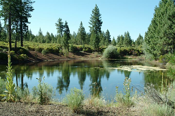
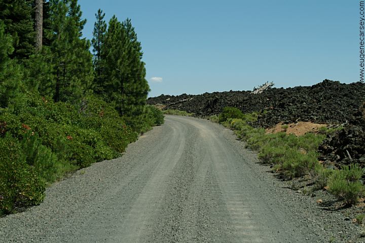
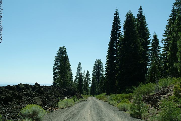
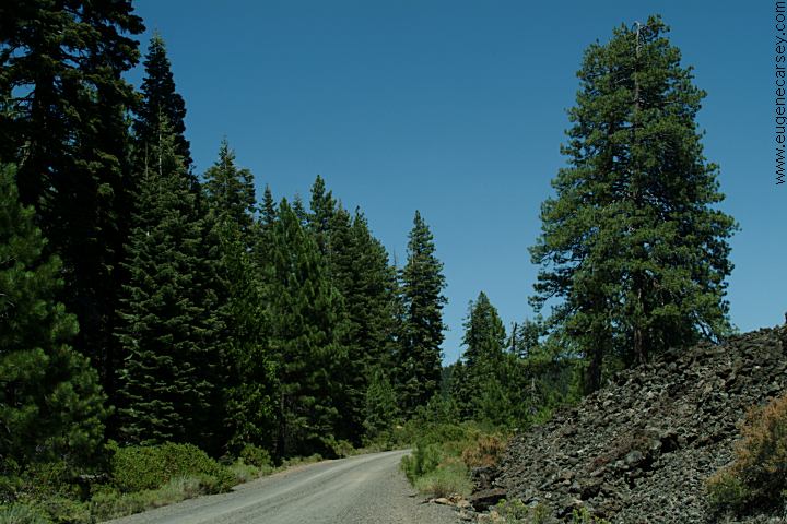
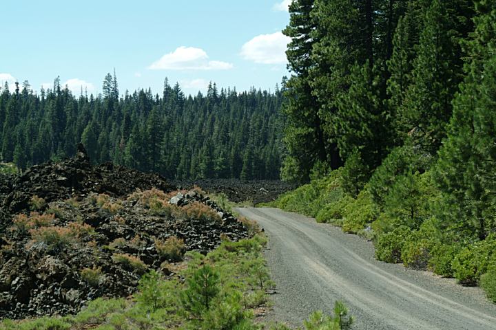
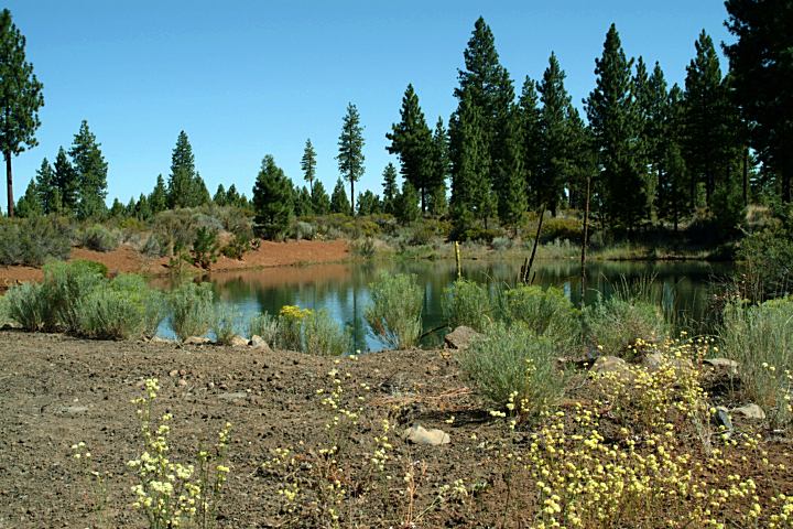
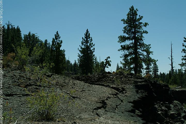
On the edge of a old lava flow
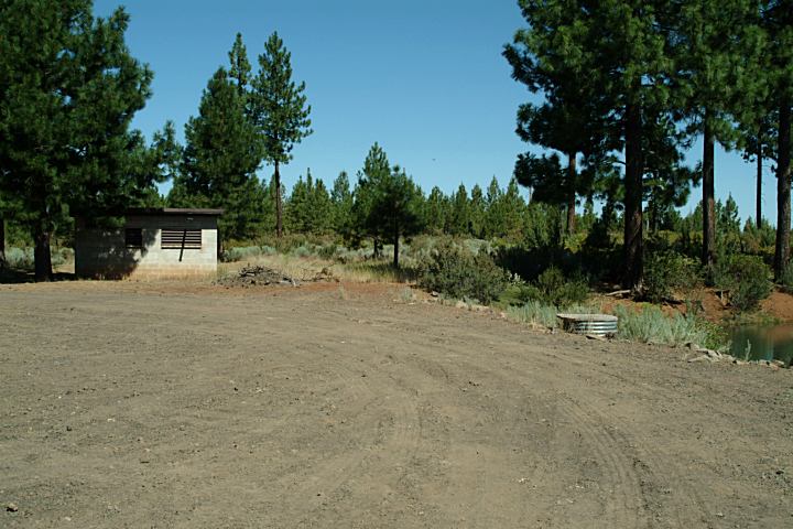
Picnic Tables
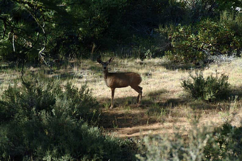
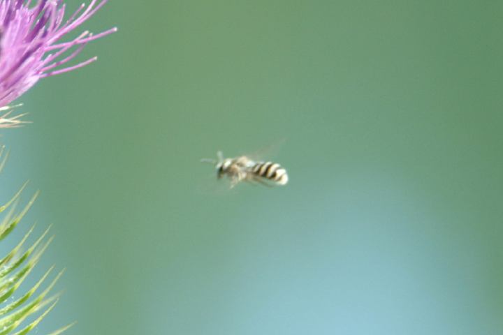
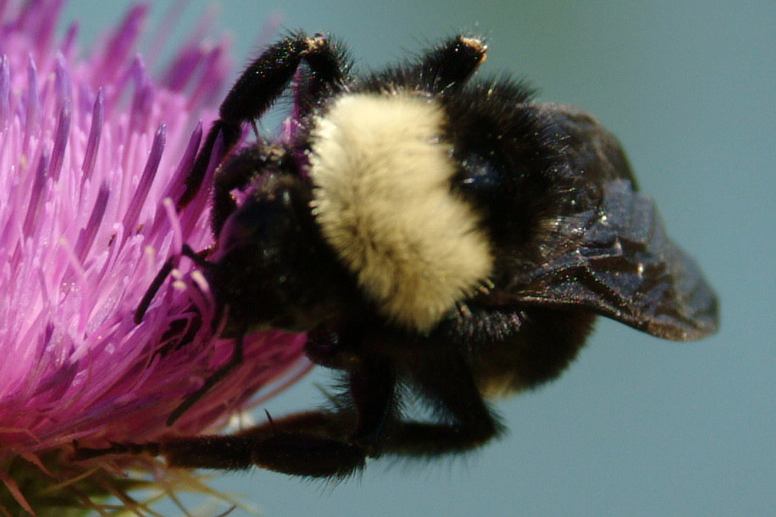
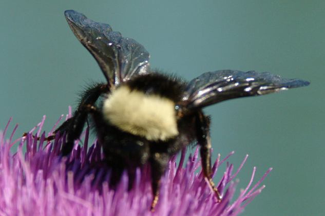
WILDLIFE:
|
|
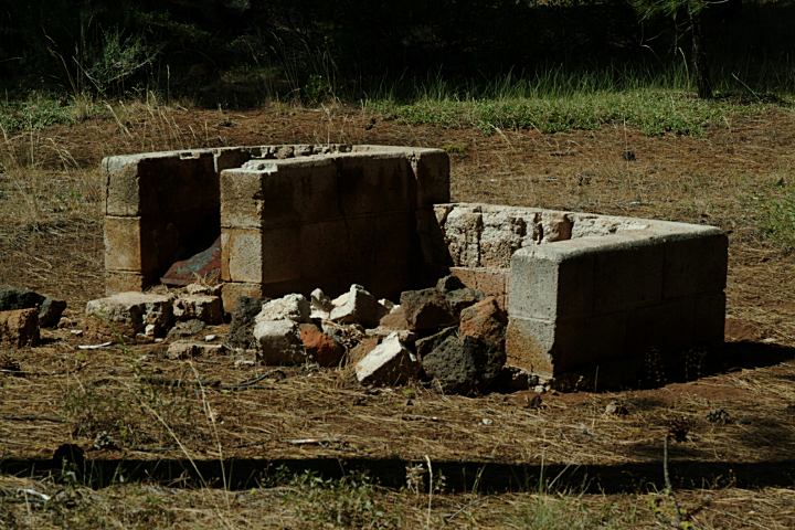
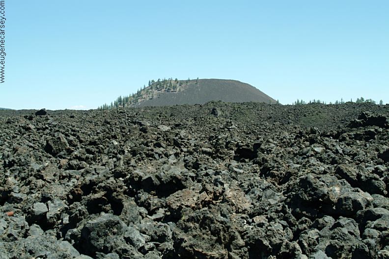
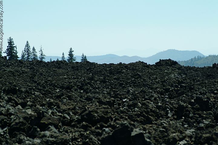
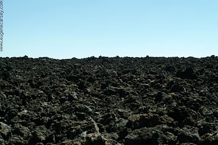
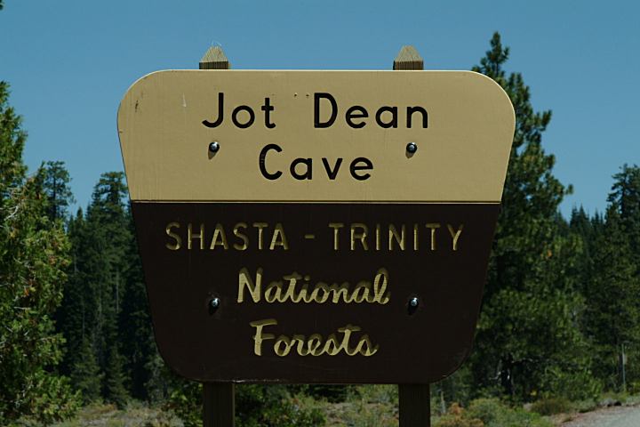
BURNT LAVA FLOW
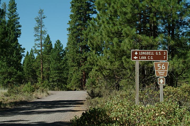
JOT DEAN ICE CAVES Bullseye Lake 8 miles |
|
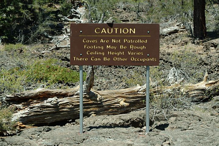
MUD SPRING WELLS IT IS YOUR RESPONSIBILITY TO
KNOW BEAR FACTS |
|
DIRECTIONS: From Alturas, CA
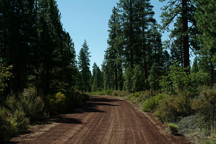
ROAD CONDITIONS: MAP Drinking water at FS Ranger Station
JOT DEAN ICE CAVES |


|
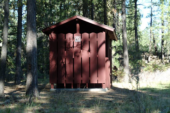
DEVELOPED CAMPGROUNDS |
|
Also see: ALDER SPRINGS
CAMPGROUND INDEX Camped here July 30, 2007
dispersedcampgrounds.com |