|
|


|
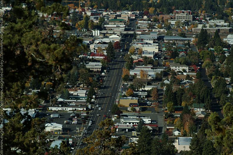
Free campgrounds and camping Newberry Crater and Paulina Lakes are fee
areas. PHOTO HERE
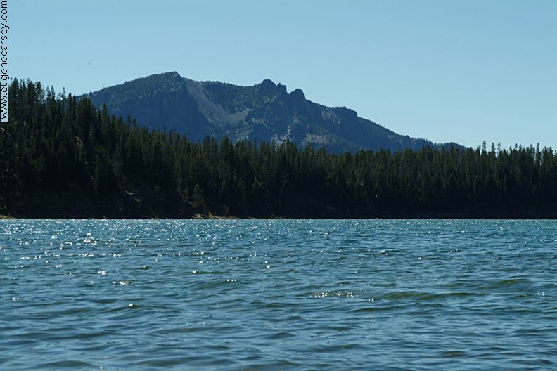
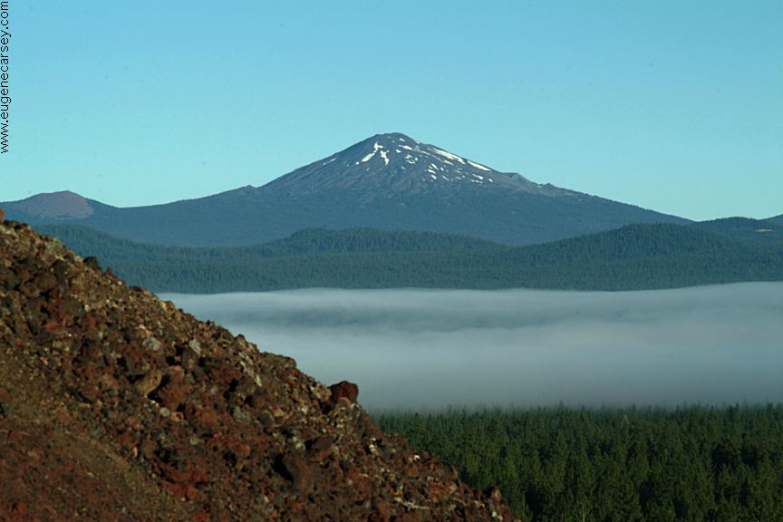
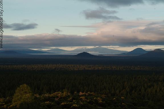
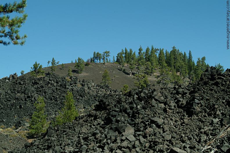
PHOTO HERE Newberry Volcano encompasses 500 square miles. |
|
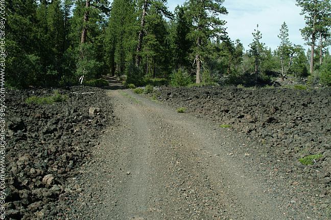
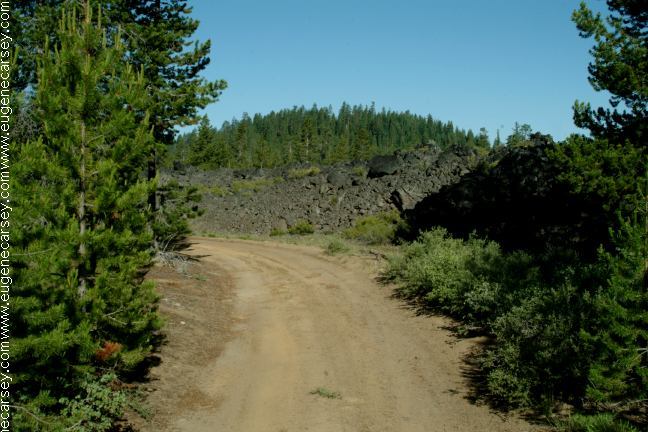
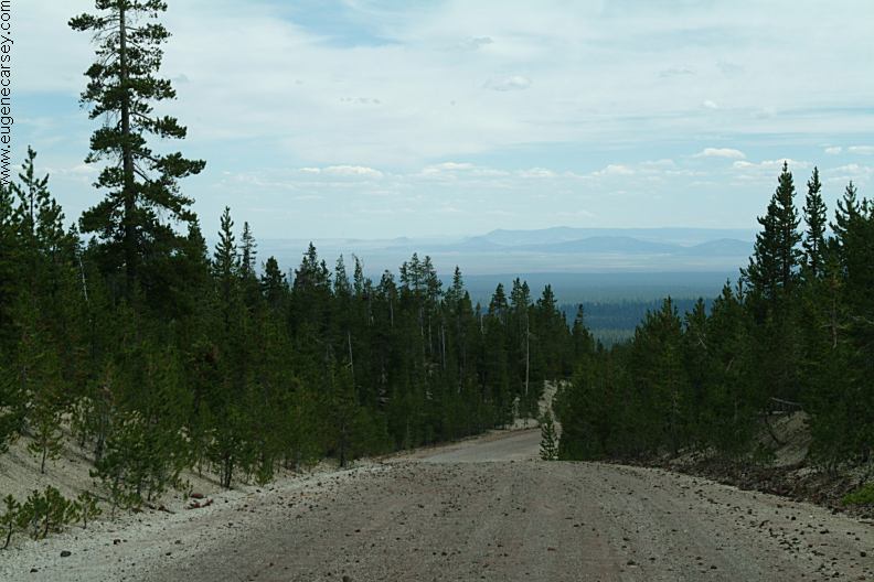
ROAD#9720
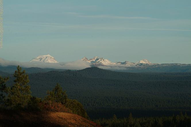
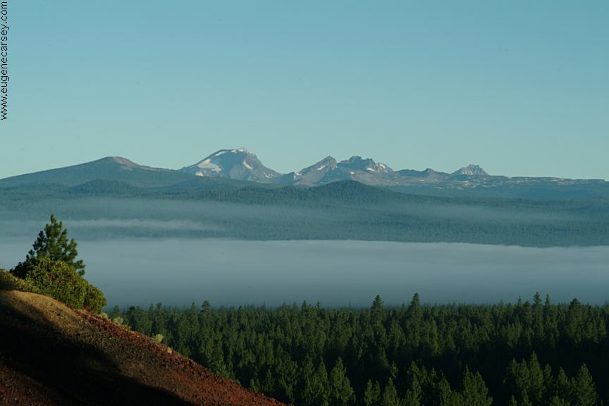
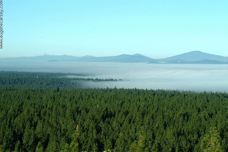
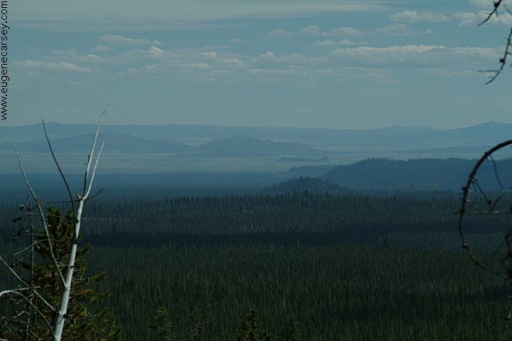
The early morning fog viewed from top of the
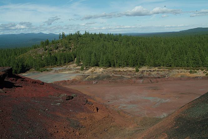
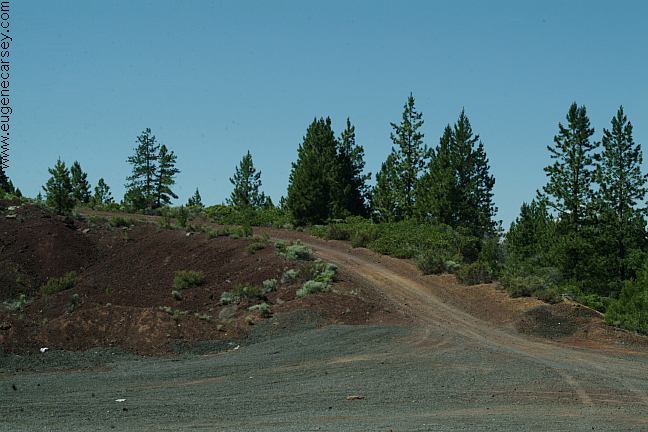
When the pavement ends, there is a cinder pit
|
|
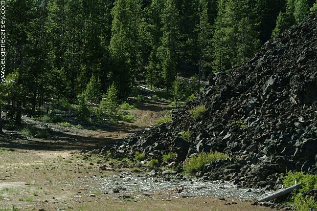
Take Road#9720 for 8 miles and you will
Stay left at the junction of Road#950 for
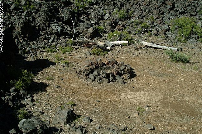
We have camped here several times and
|
|
DIRECTIONS (Road#9720) FOR PASSENGER CARS ROAD CONDITIONS: MAP
|
|
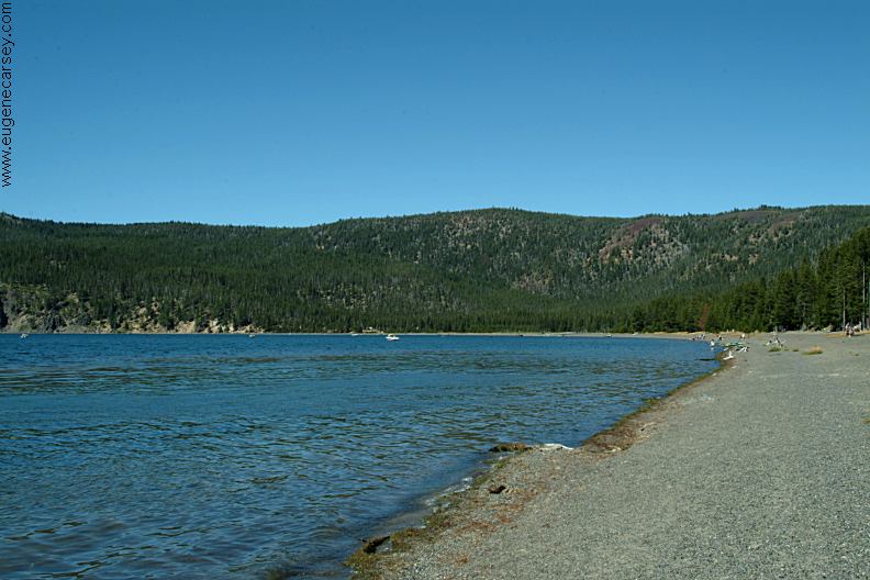
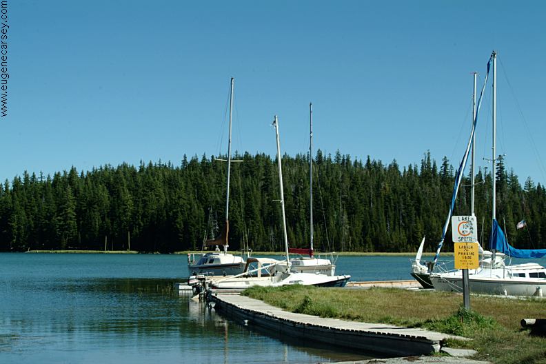
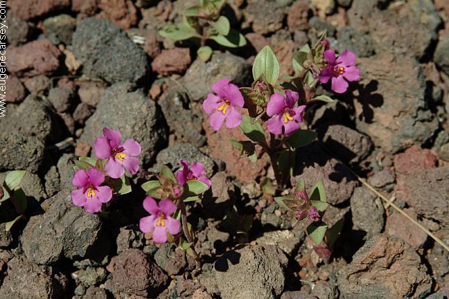
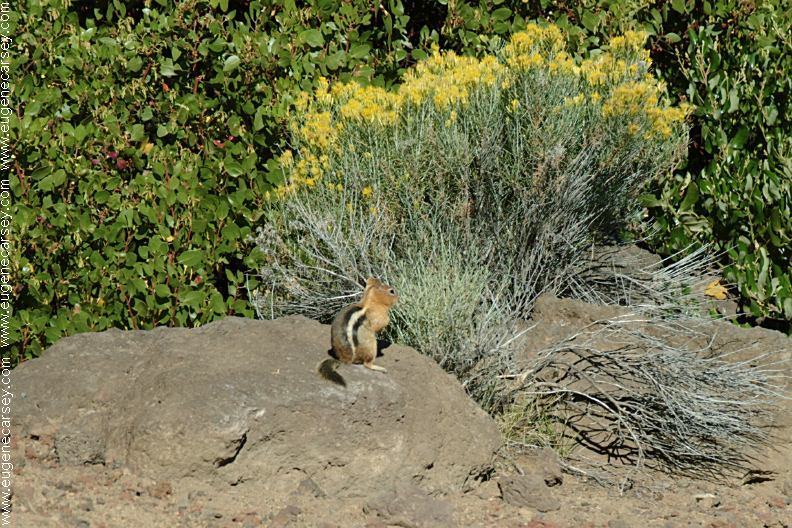
WILDLIFE: Showers at Newberry Crater / Paulina Lake Showers at Crane Prairie Reservoir Lodge
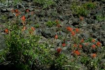
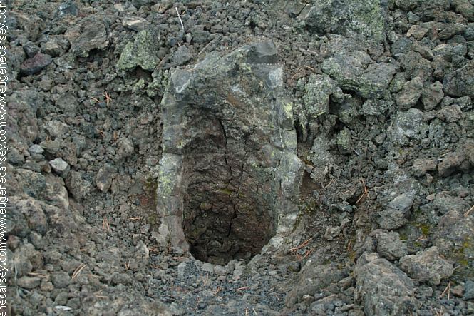
It is unique how the lava made casts around
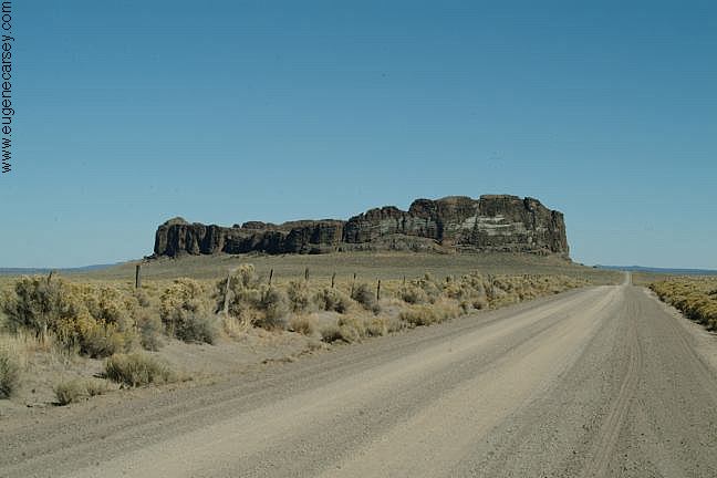
EAST
FORT ROCK OHV TRAIL SYSTEM
ROAD #500 Lava Lands Visitor Center is at the |
|
Also see: CRANE PRAIRIE /
ROAD#4285
OREGON FREE CAMPGROUND MAP
Camped here August 8, 2007 CAMPGROUND INDEX
dispersedcampgrounds.com |