|
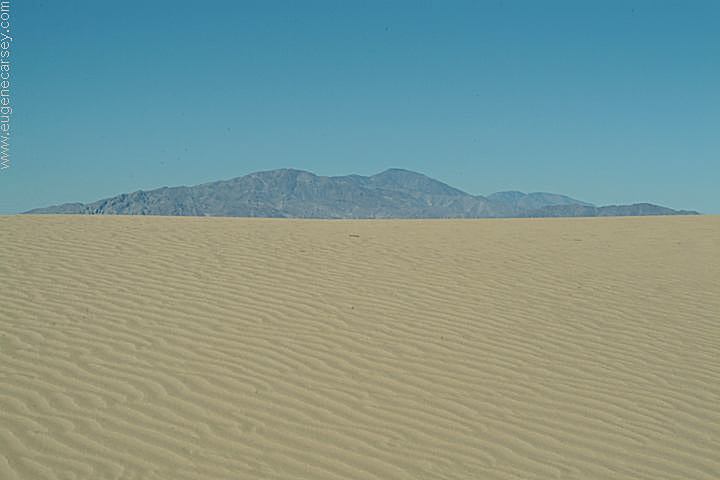
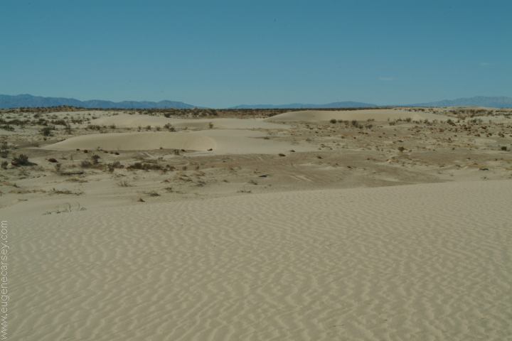
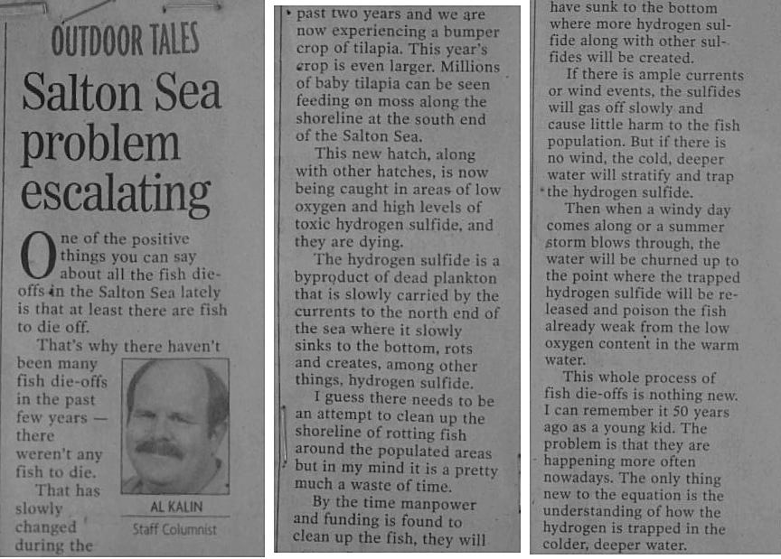
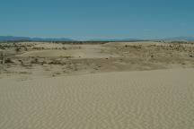
Sand Dunes on west shore of Salton Sea
Not sure of the actual name of these
sand dunes, not on the map and an
internet search produced no results.
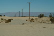
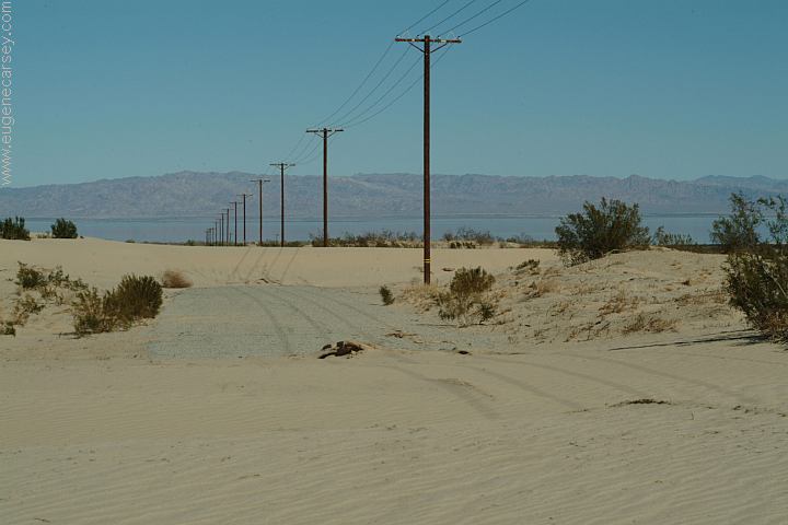
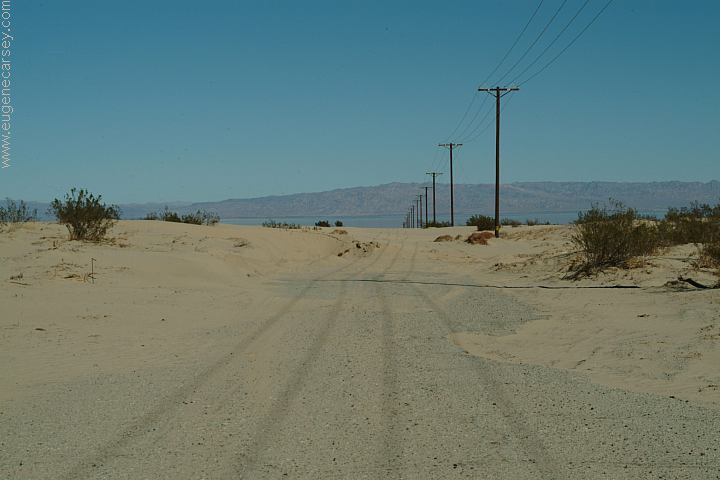
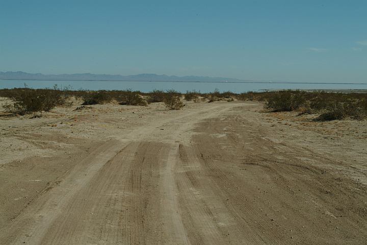
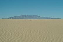
Main road covered with sand
Main road covered with sand
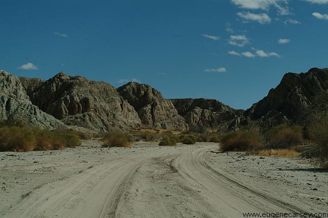
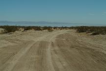
The main road towards the Salton Sea
was covered by sand dunes and was
impassable. There was a primitive dirt
road that worked it's way around the
south of the sand dunes...
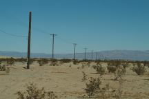
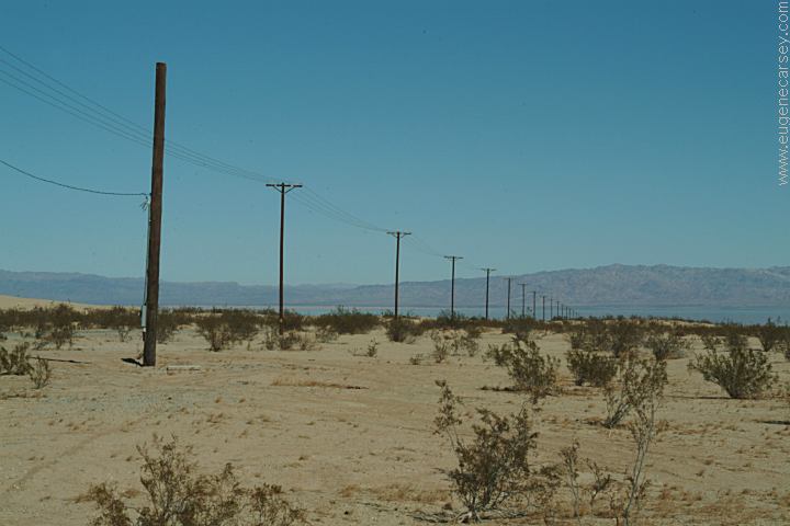
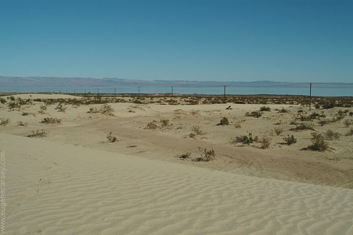
Power lines along road towards Salton Sea
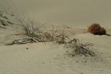
Spur road with camp areas
This is some serious boondocking, not
sure of the official status of the land, but
there's no signs and nobody around.
There were some old firerings.
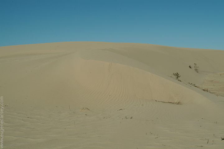
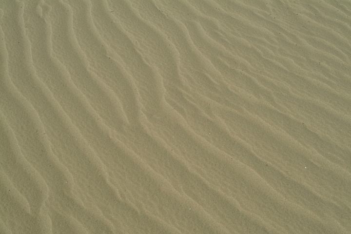
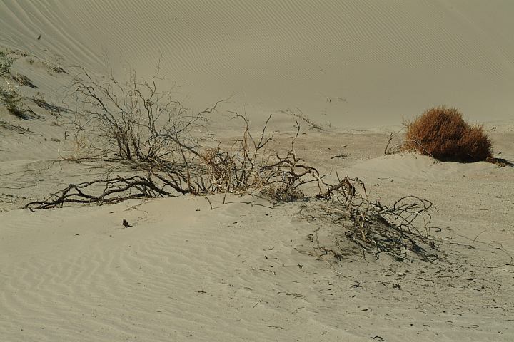
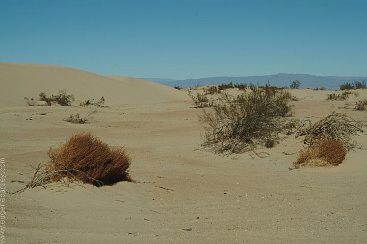
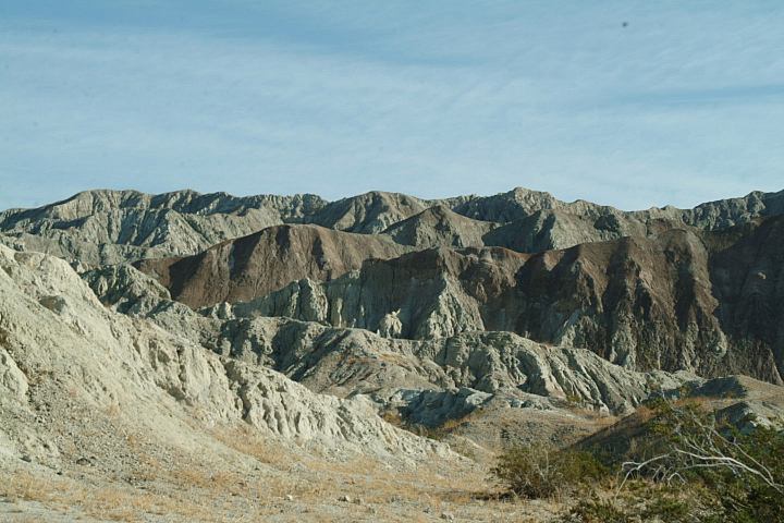
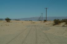
Sand Dunes on the Salton Sea
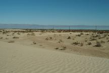
Sand Dunes on the Salton Sea
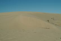
Sand Dunes on the Salton Sea
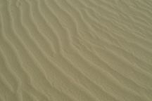
Sand Dunes on the Salton Sea
Sand Dunes on the Salton Sea

Sand Dunes on the Salton Sea
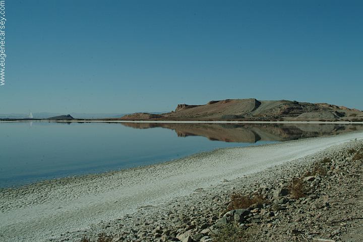
Salton Sea was created in 1905 - 1906
Original Size: 45 miles by 17 miles wide
Original Surface Level: 195' below sea level
Today: 35 miles by 15 miles wide
Surface Area: 360 square miles
Surface Elevation: 228' below sea level
110 miles of shoreline
Average Depth: Less than 20'
Deepest Area: 50'
Summer temp. is 92 degrees
Winter temp. is 55 degrees
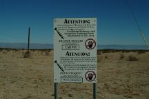
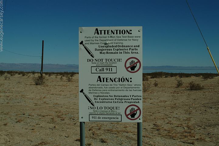
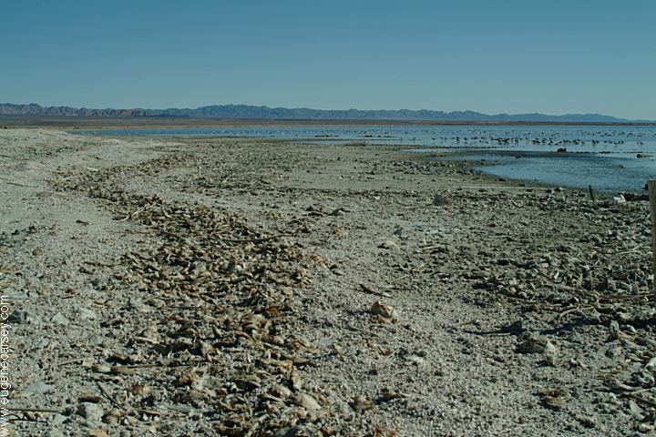
Beware of Unexploded Ordnance
Parts of the former Salton Sea Test Base
were used by the Department of Defense
for Navy and Marines Corp field training.
Unexploded ordnance and dangerous
explosive parts may remain in this area.
DIRECTIONS:
From Palm Springs
Take Hwy.86 south
The road and turn is unmarked...
Almost exactly 3 1/2 mile north from the
junction of Hwy.86 and Hwy.78 or about
4 miles north from the check point
There is an immigration check point
northbound on Hwy.86. with long
lines of cars. This day was over an
hour wait...
SALTON SEA
Tourist Information and Travel Guide
For more information about the Salton
Sea and surrounding area.
|