|
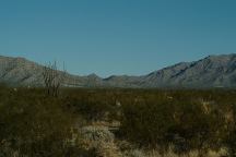
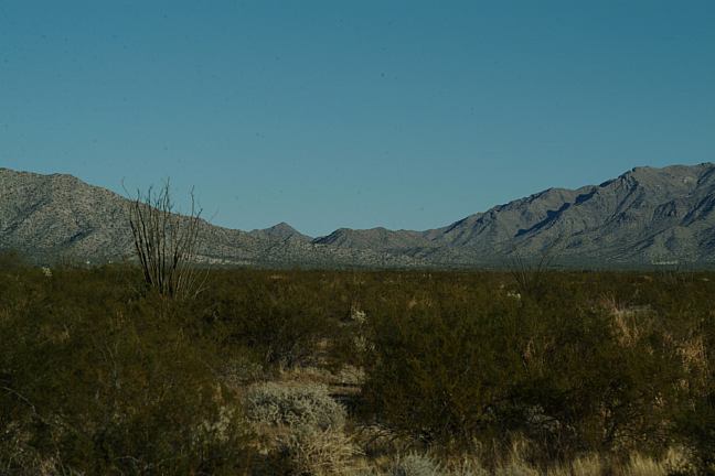
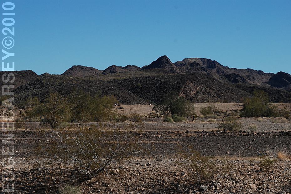
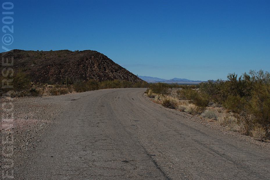
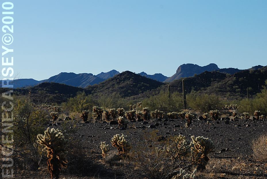
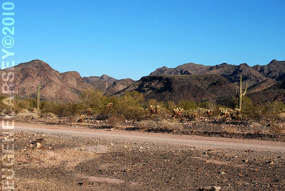
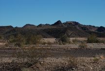
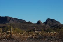
Views from Gold Nugget Road
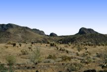
Views from Gold Nugget Road

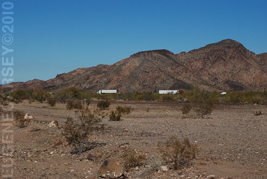
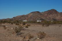
Day Use Area North from I-10
Day Use Area 02
Day Use Area 03
Day Use Area 04
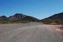
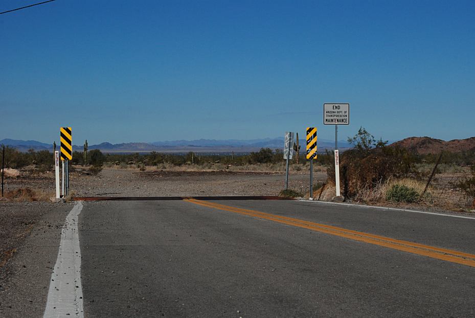
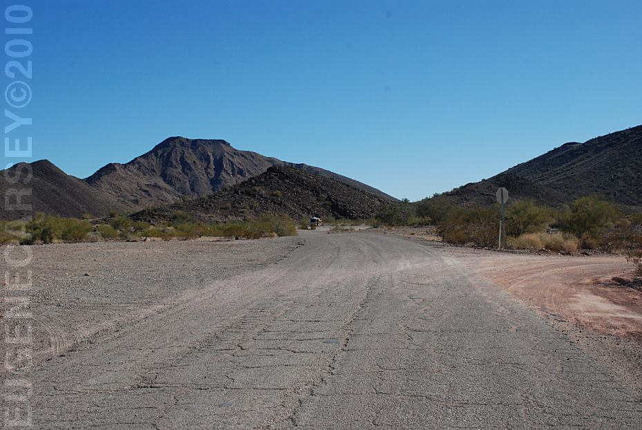
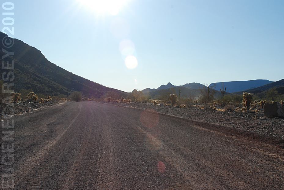
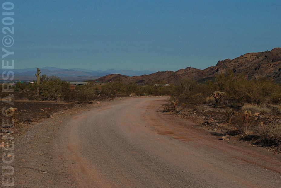
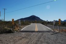
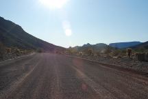
Gold Nugget Road
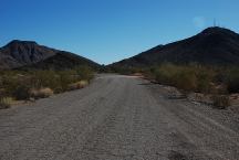
Gold Nugget Road
Gold Nugget Road
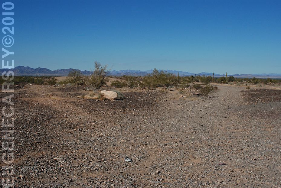
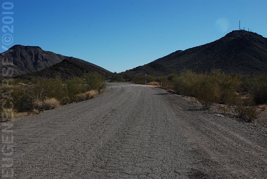
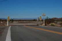
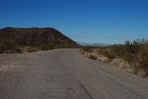
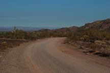
Views from Gold Nugget Road
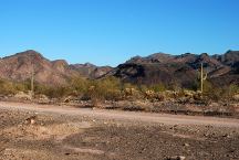
Views from Gold Nugget Road 04
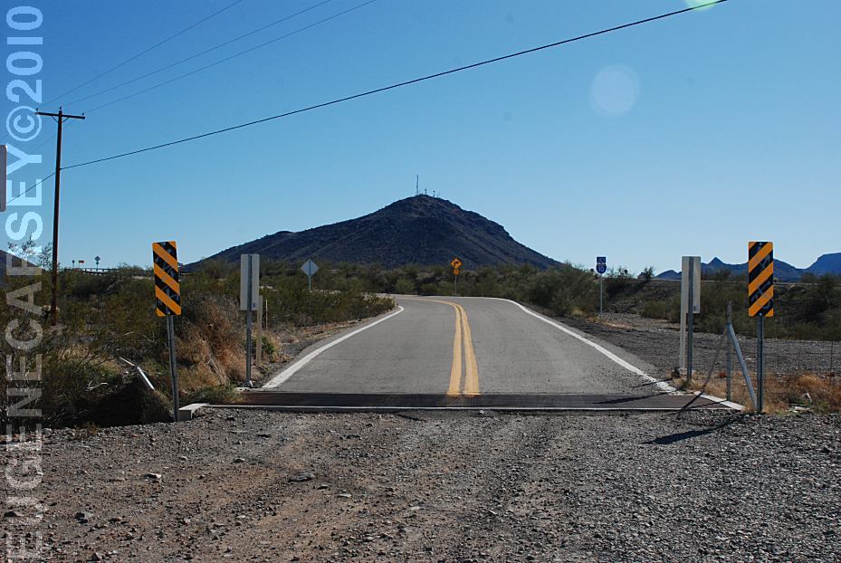
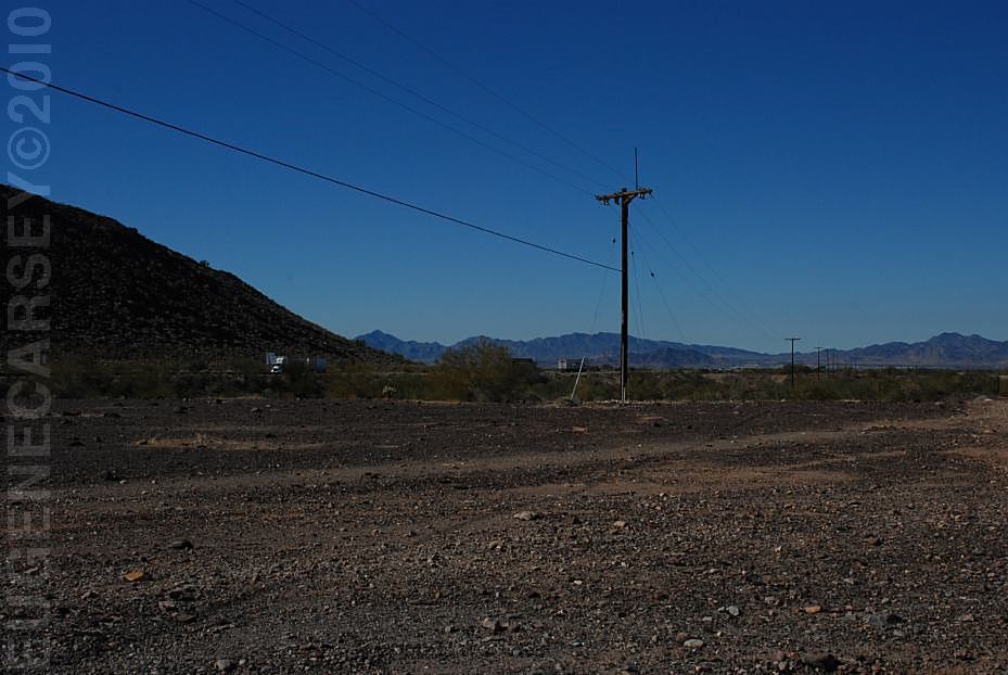
I-10 viewed from Gold Nugget Road
01
03
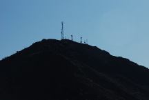
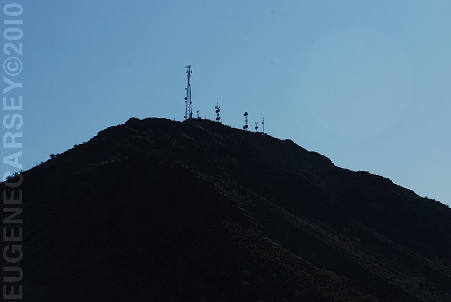
Towers
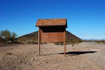
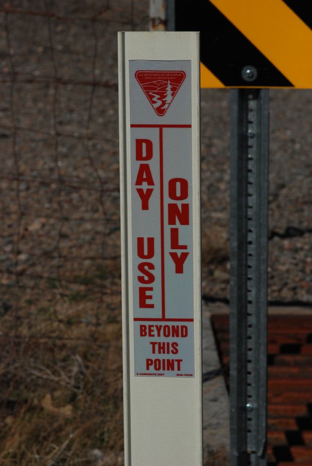
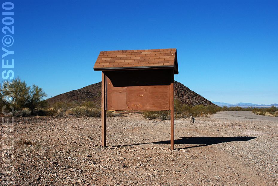
Information Board on Gold Nugget Road
This used to be nice and peaceful area with
less people,
but now becoming more popular with ATV's... Loud,
fast and dusty, tearing up the desert.
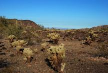
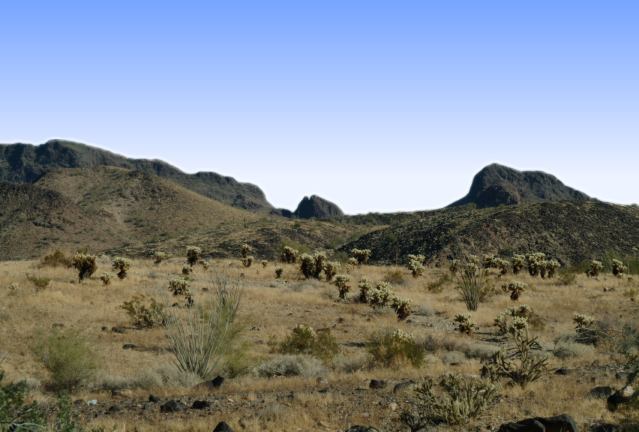
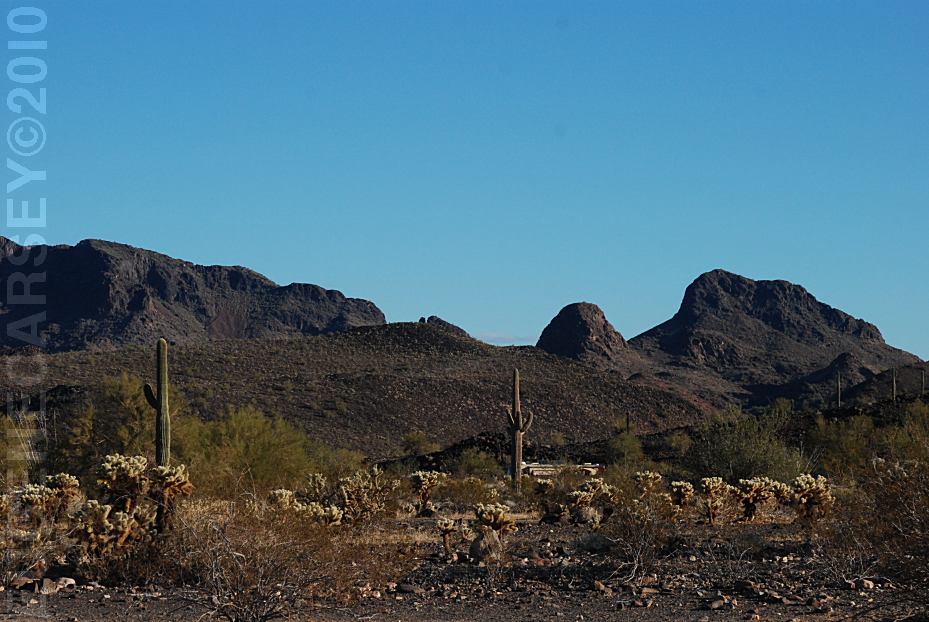
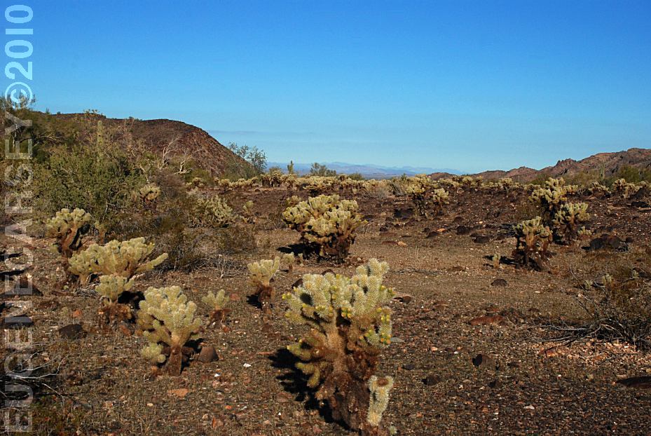
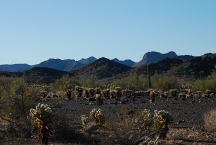
Cholla Cactus
Gold Nugget Road is 7 miles east of Quartzsite.
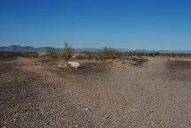
You can camp almost anywhere out in the desert
in this area.
Desert environment with cactus.
Bring your own water.
U.S. Bureau of Behavioral Corrections
Considering the barren aspect of the desert
it is not recommended to build any firerings.
Enjoy a pristine campfire free of walls of
rock. Stone firerings are frowned upon by
BLM and the Forest Service.
14 Day Camping Limit
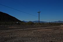
North from Gold Nugget Road
LATITUDE: N 33°40.822
LONGITUDE: W 114°05.205
Day Use Area Only
Can be accessed from Gold Nugget Road
|