|

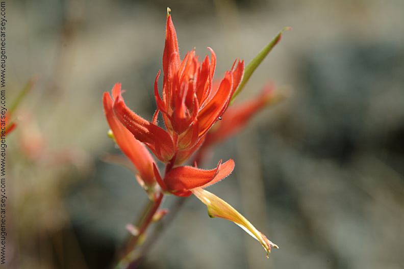
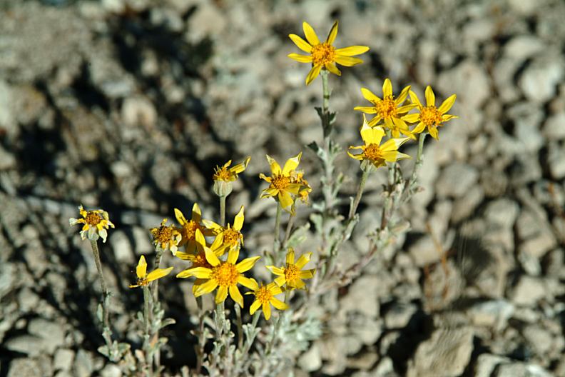
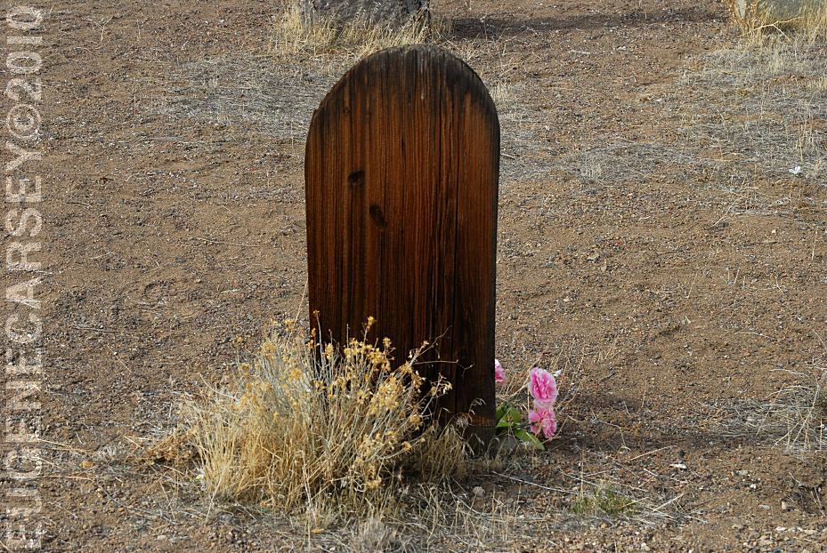
Flowers at dispersed camp on Road#23
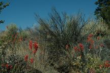
Flowers at dispersed camp on Road#23
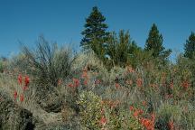
Flowers at dispersed camp on Road#23

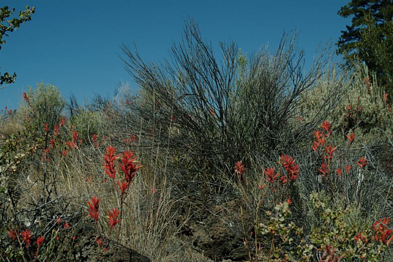
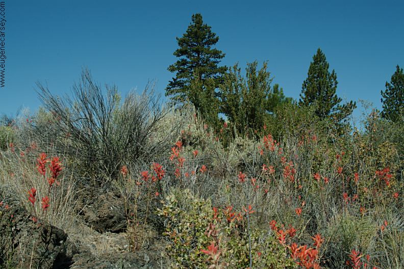
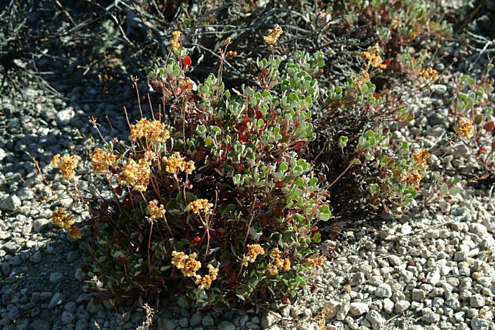
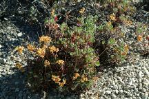
Flowers at Sand Springs Campground
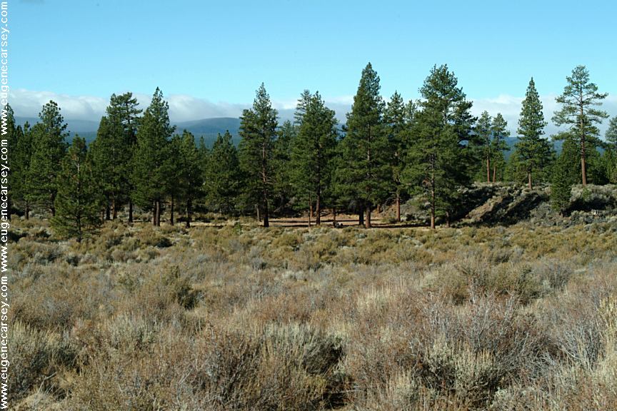
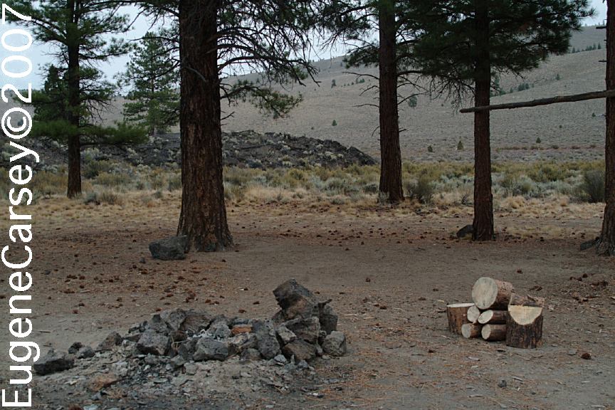
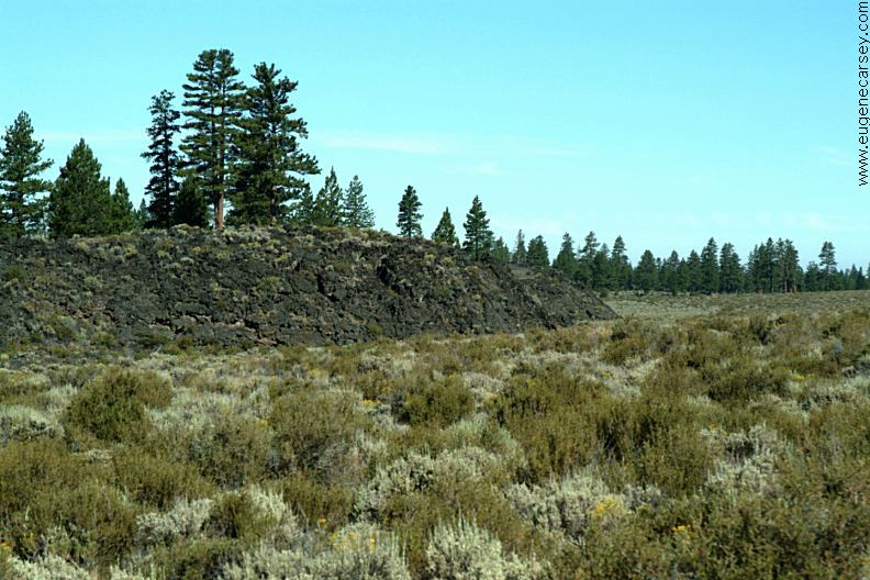
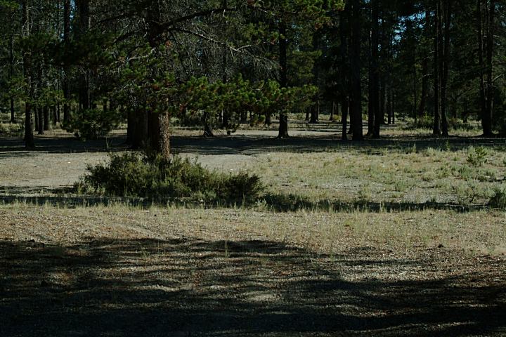
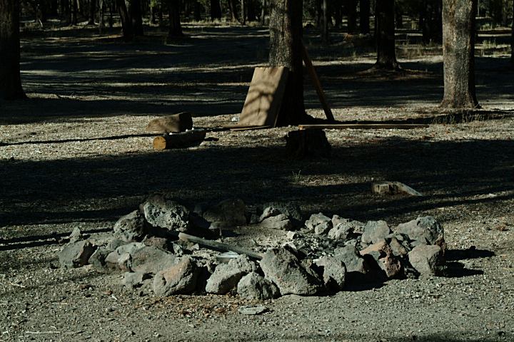
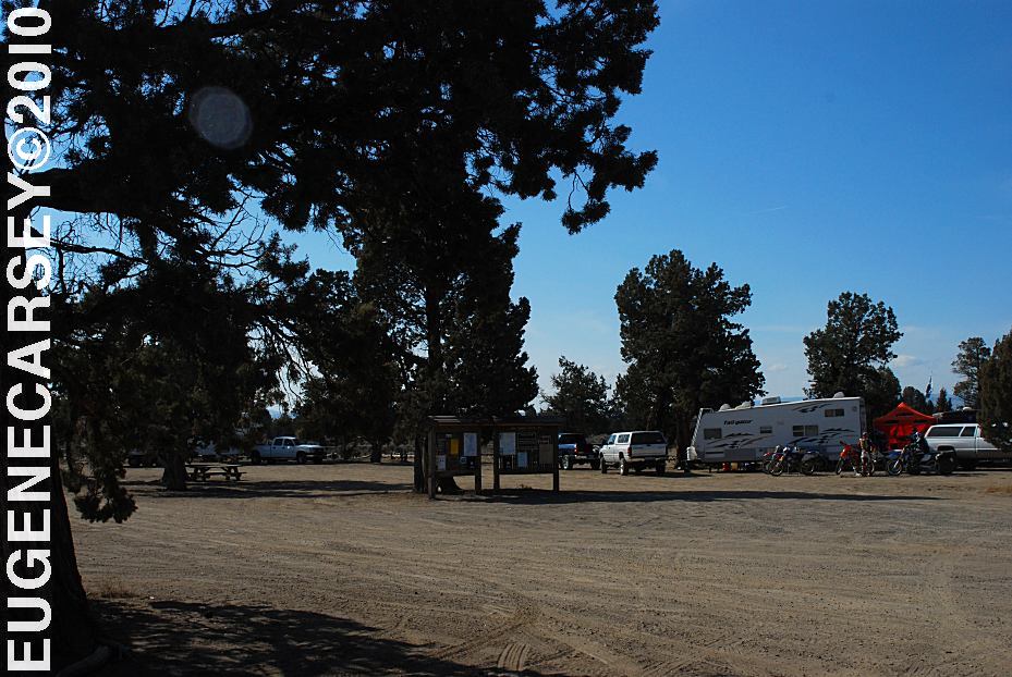
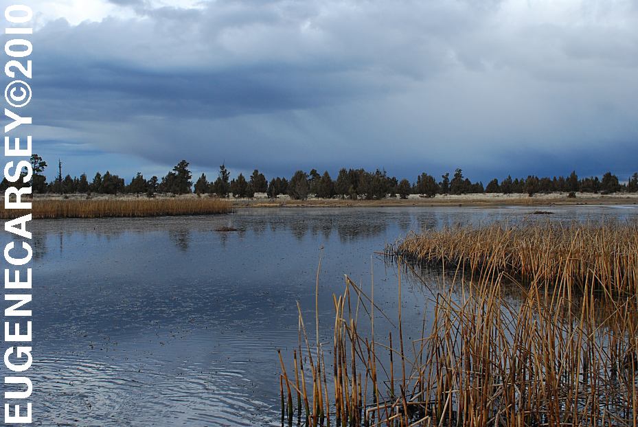
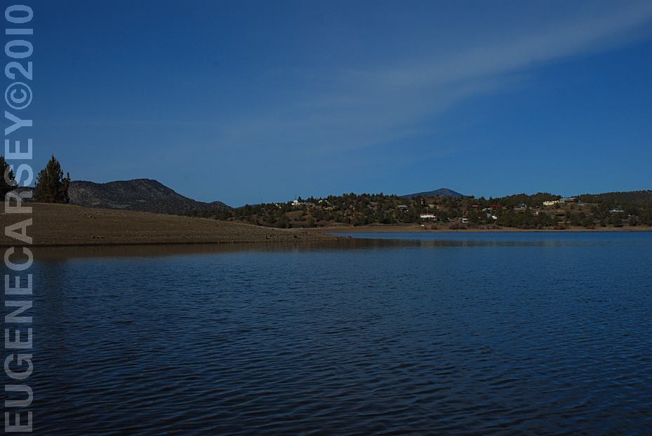
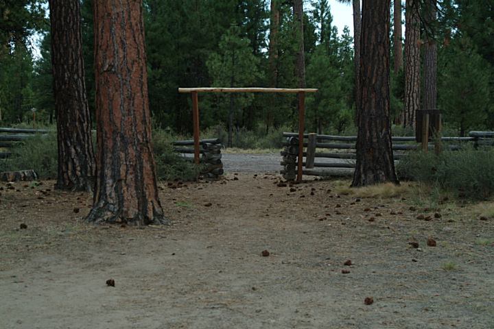
Sand Springs Campground
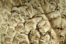
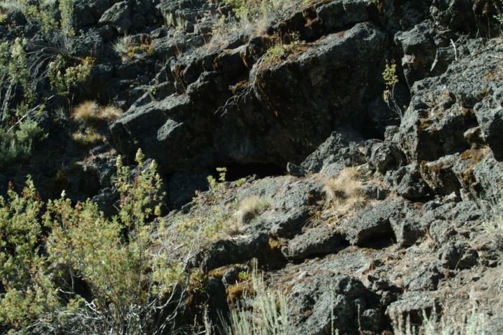
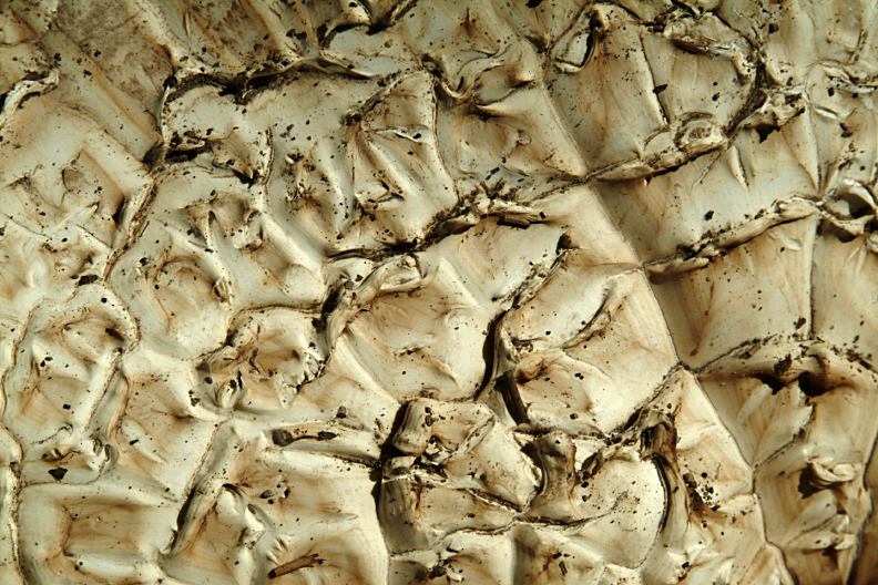
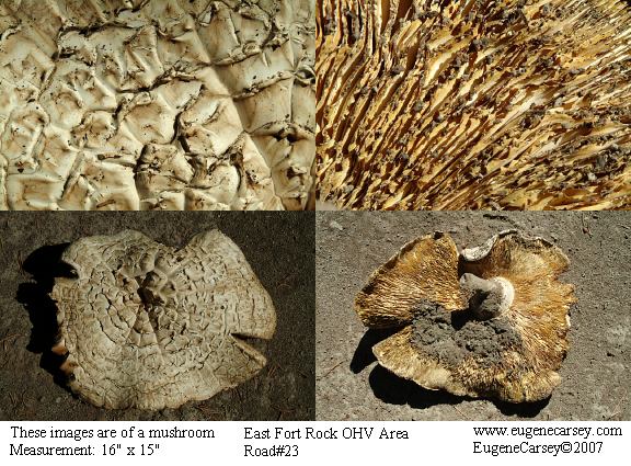
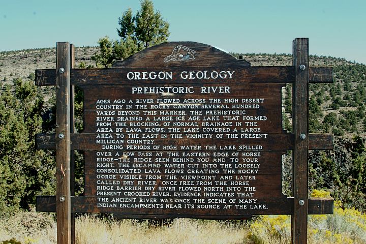
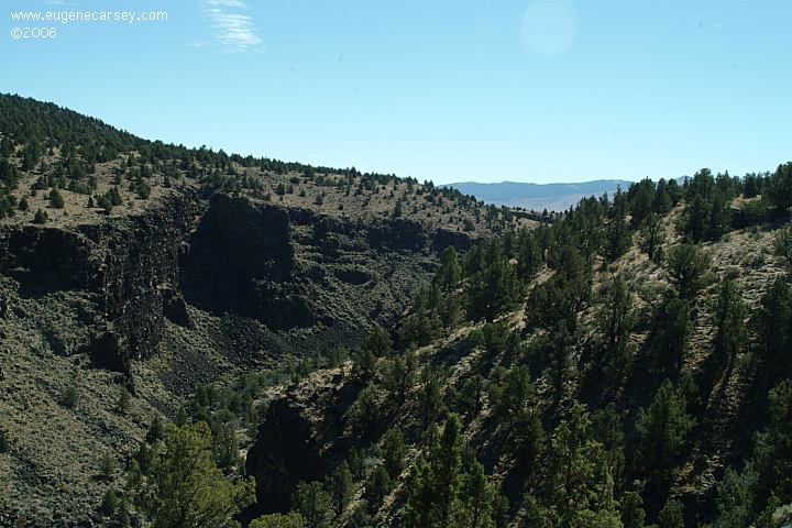
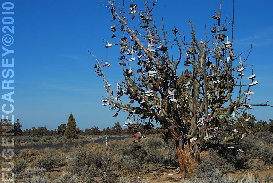
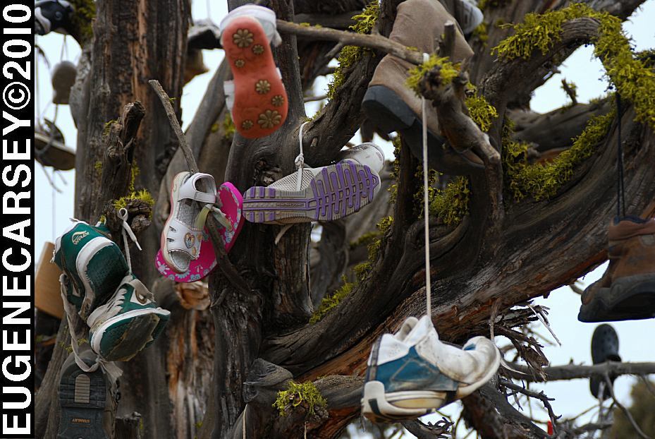
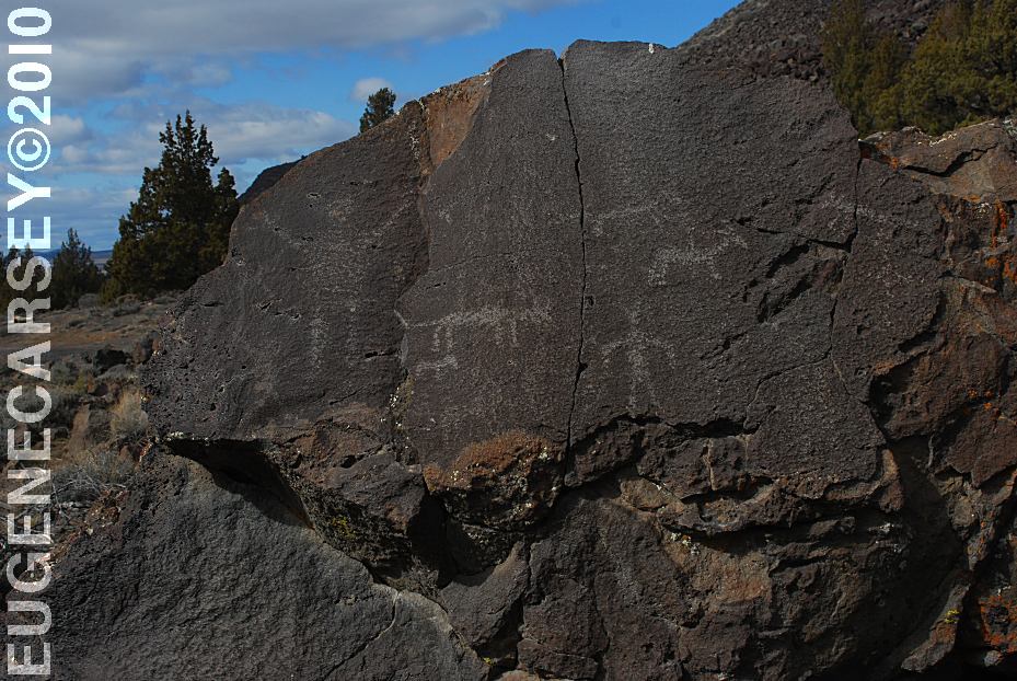
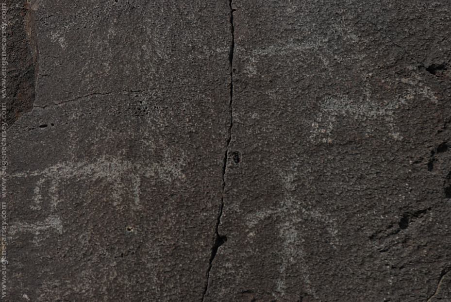
What is this image???
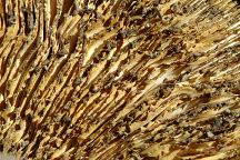
What is this image???
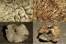
Mushroom is 14"W x 15"L
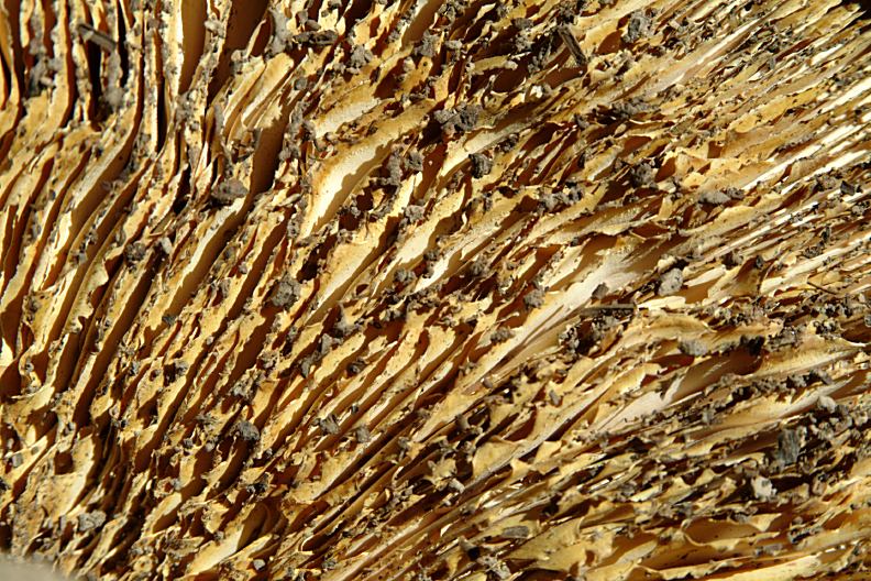
Click image for detailed view.
WILDLIFE:
Lots of deer and some elk. Then there are
the usual suspects, like chipmunks and rabbits.
The dog had an encounter with a porcupine...
(That was several years back and it took a pair
of pliers to remove about a dozen quills that
had been lodged in his snout.) There was
also the time when the dog roused a skunk...
the smell dissipated in a couple days.
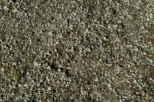
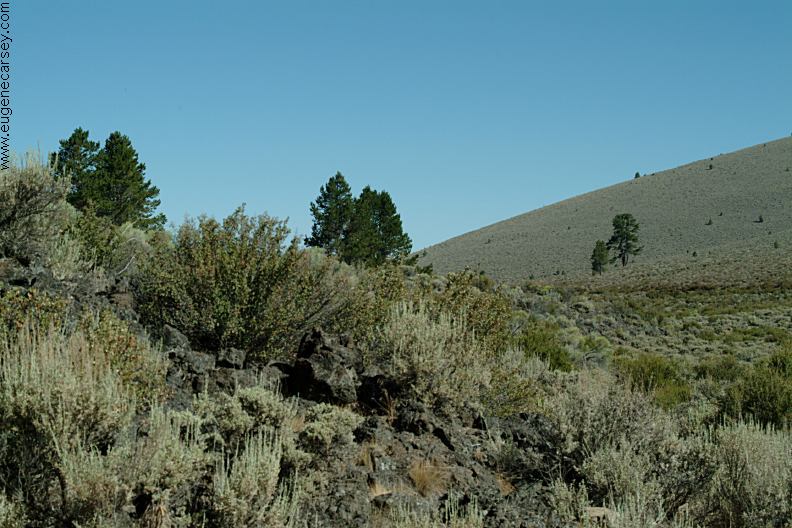
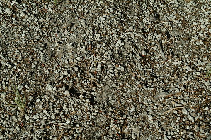
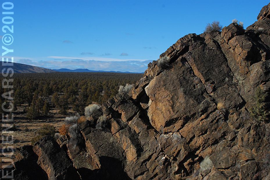
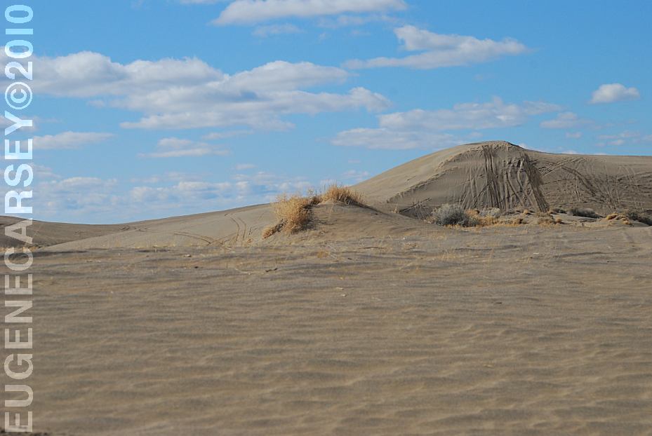
Pumice covering the ground
Sand Springs Campground
IT IS YOUR RESPONSIBILITY TO
KNOW
WHAT FIRE RESTRICTIONS ARE IN EFFECT
Axe, shovel, and 5 gallons of water required.
Leather Gloves and Fire Extinguisher Recommended

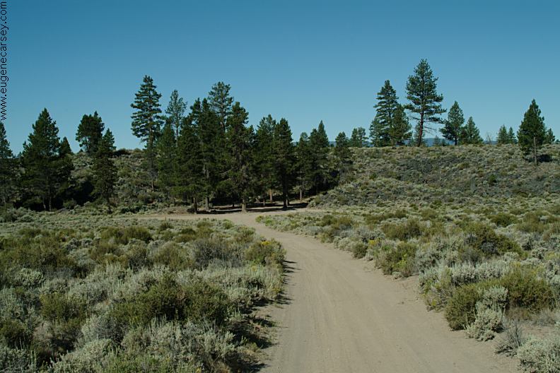
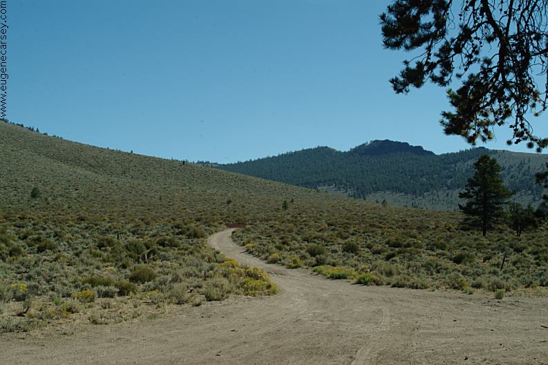
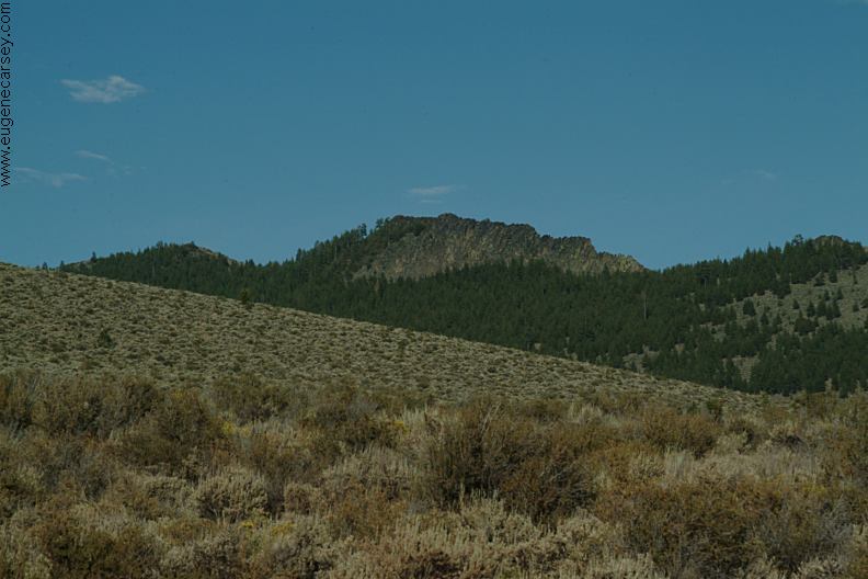
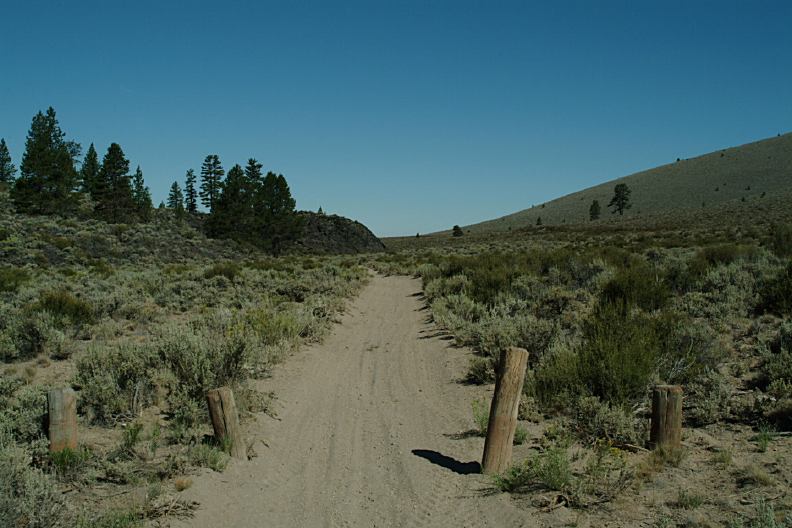
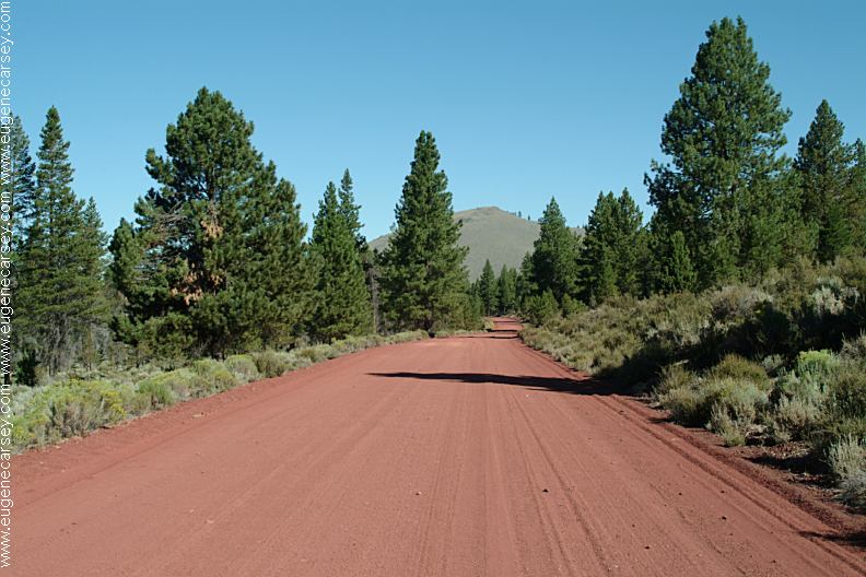
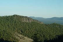
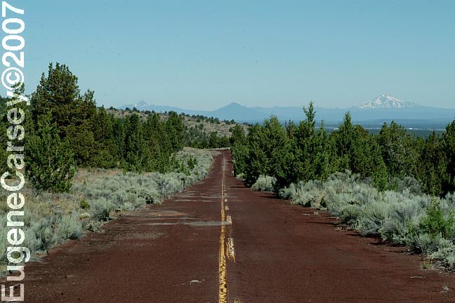
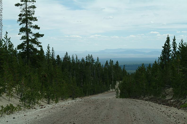
Road#23 north from Sand Springs
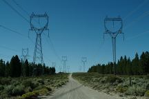
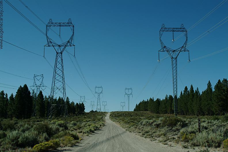
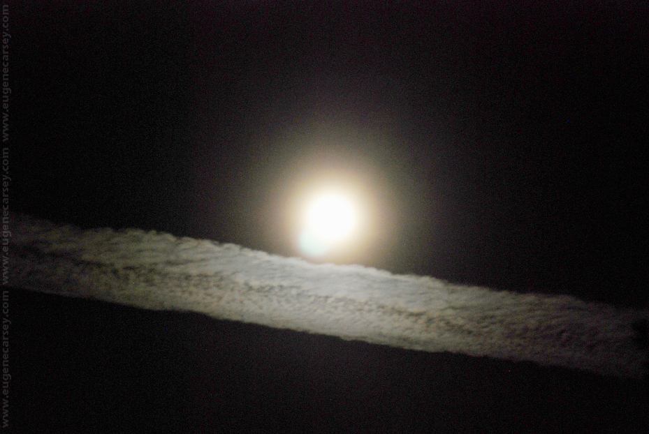
Power lines across Road#23
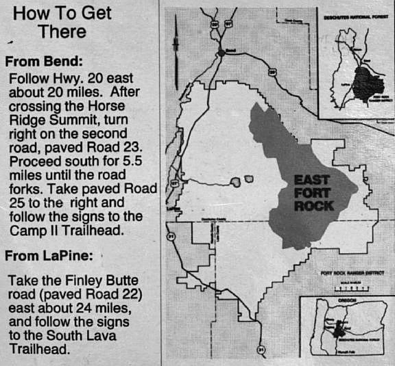
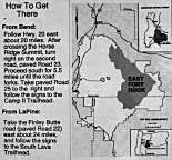
DIRECTIONS:
From Bend, OR
Hwy. 20 east for 21.5 miles
Turn on Road#25 for 6 miles
Turn on Road#23 to Sand Springs
Sand Springs is 12 miles
From LaPine, OR
Take Finley Butte Road / Rd#22
Continue past South Ice Cave
(Just guessing that it is about 35 miles
from Lapine, OR)
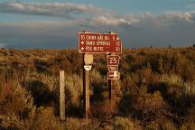
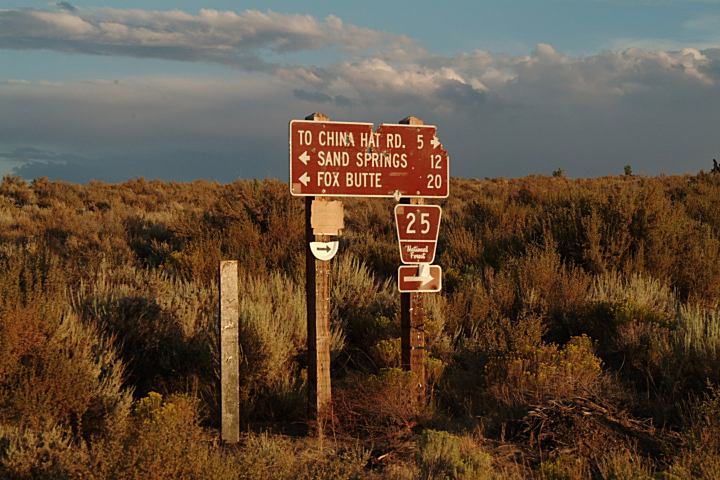
Sign from Road#23 at junction of Road#25

Sign from Road#23
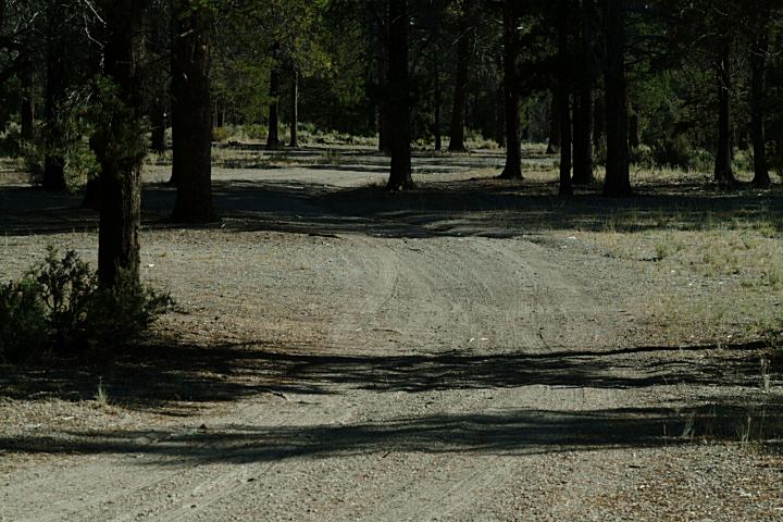
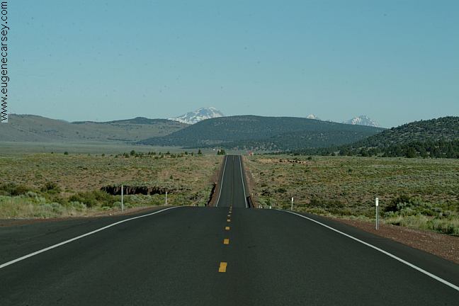
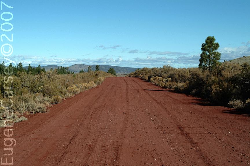
ROAD CONDITIONS:
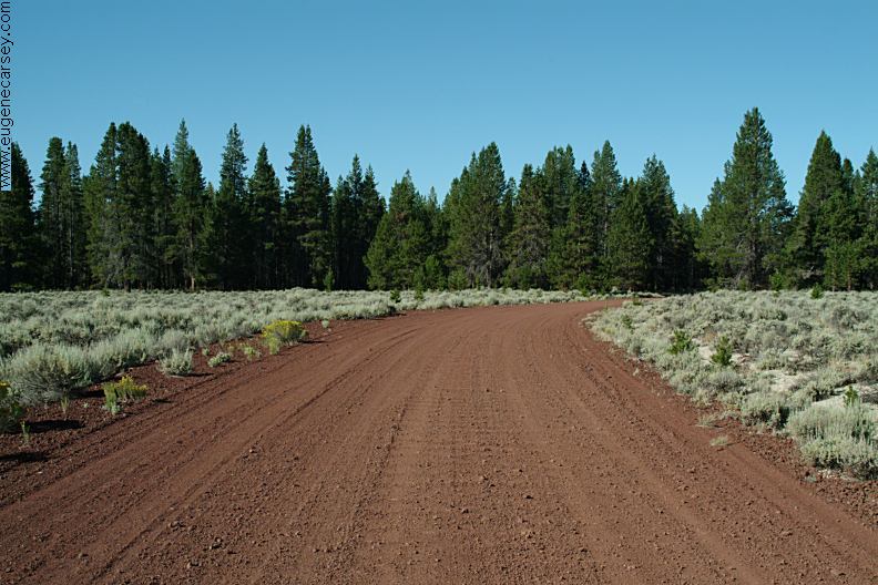
Road#23 is red cinder surface with
washboards and soft sand.
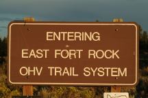
Sign from Road#23
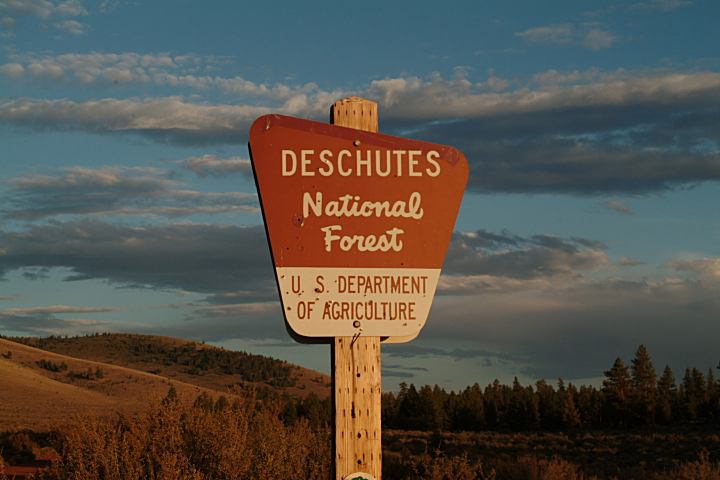
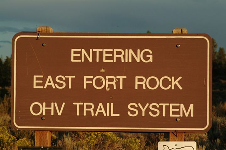
EAST FORT ROCK OHV TRAIL SYSTEM:
Camping is permitted at all the trailheads
and staging areas, as well as any existing
dispersed camps.
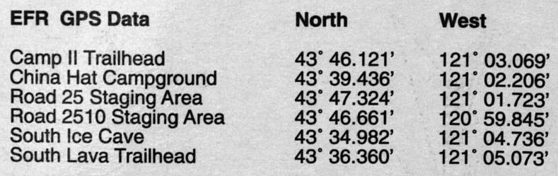
CAMP II TRAILHEAD
ROAD 25 STAGING AREA
CHINA HAT CAMPGROUND
ROAD 2510 STAGING
AREA
SOUTH LAVA
TRAILHEAD
SAND SPRINGS CAMPGROUND
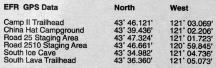
GPS Data from Information Board
Map from Information Board
MAP (PDF File)
This is the 2005 Forest Service OHV Map
for East Fort Rock OHV Trail System.
Much more details than above map.
|