|
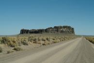
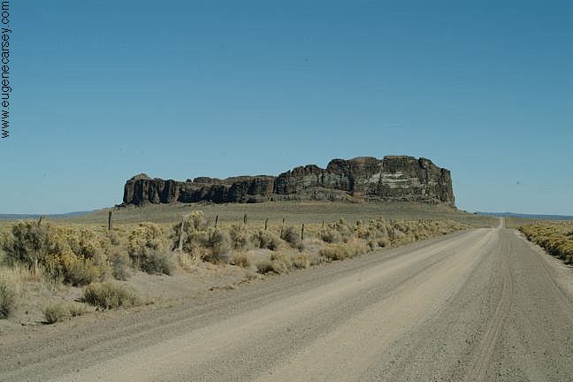
Fort Rock north from Silver Lake, OR
You used to be able to camp anywhere at Fort Rock.
There was a road up the middle and almost to the top.
If you walked around the circumference, would be
guaranteed to find an arrowhead.
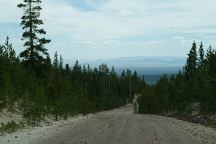
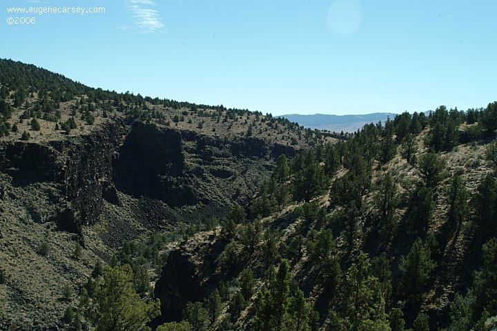
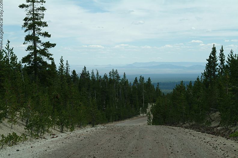
Road#21 Views (East from Paulina Lake)
Road#21 Views (East from Paulina Lake)
Hole In the Ground
HOLE IN THE GROUND
LATITUDE: N 43°24.775
LONGITUDE: W 121°12.321
(GPS from west rim of Hole In the Ground)
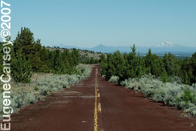
Highway 31 / MP 22
Take Road 3125 for 3 miles
Take Road 3130 for 1 mile
Also see: BROADWAY LAVA FIELD
Also see: CHRISTMAS VALLEY
Also see: NEWBERRY CRATER and MONUMENT
Also see: NORTH
SHORE ROAD
Also see: OCHOCO
NF / ROAD#16
Also see: OCHOCO
NF / ROAD#27
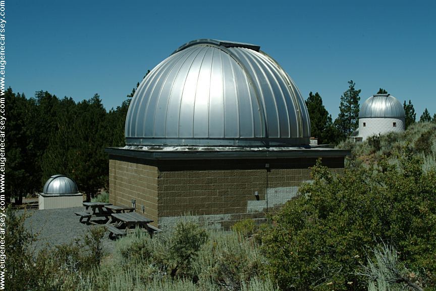
Also see: PINE MOUNTAIN OBSERVATORY
Also see: PRINEVILLE
/ NORTH SHORE
Also see: PRINEVILLE
/ SALT CREEK
Also see: STEENS
MOUNTAIN
Also see: WICKIUP
RESERVOIR / ROAD#090
Also see: WICKIUP
RESERVOIR / ROAD#4260
Also see: WICKIUP
RESERVOIR / ROAD#4280
Also see: WICKIUP
RESERVOIR / ROAD#4370
Also see: WICKIUP
RESERVOIR / ROAD#44

Google Custom Map by Ian
OREGON FREE CAMPGROUND MAP
Google custom map by Ian with most of the
free campgrounds in Oregon.
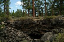
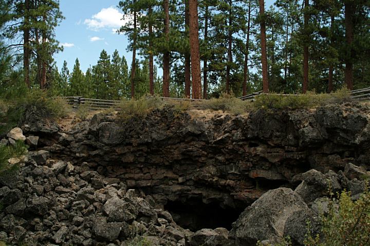
South Ice Cave on Road#22
Near the junction of China Hat Road(Road#18)
Entrance to South Ice Cave
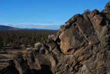
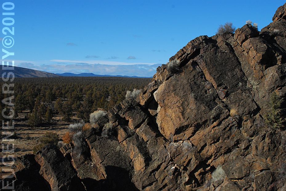
Badlands Rock
LATITUDE: N 43°59.489
LONGITUDE: W 121°01.648
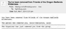
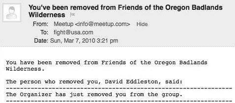
We were kicked out of the Friends of the Oregon Badlands
group by the organizer David Eddleston. We have never
met David Eddleston and no explanation was offered.
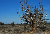
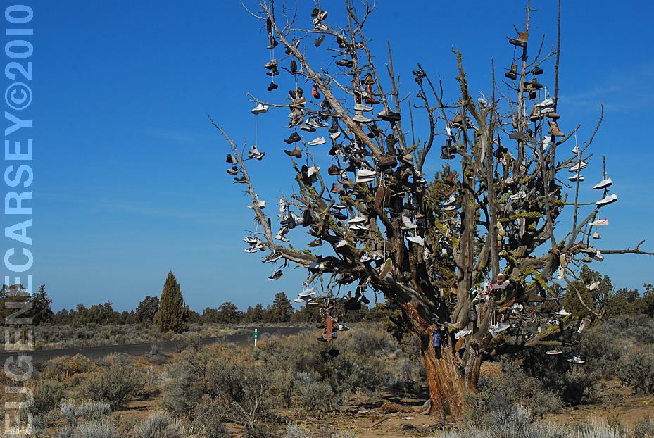
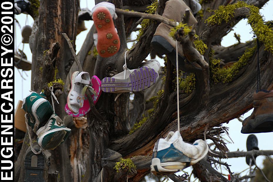
Tree covered with shoes on SW Reservoir Road
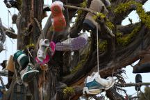
Tree covered with shoes on SW Reservoir Road
SHOE TREE
LATITUDE: N 44°04.484
LONGITUDE: W 120°56.963
SW Reservoir Road / MP 10
3 1/2 miles past Alfalfa Store
Near Willard Road and Alfalfa Curves
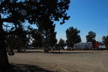
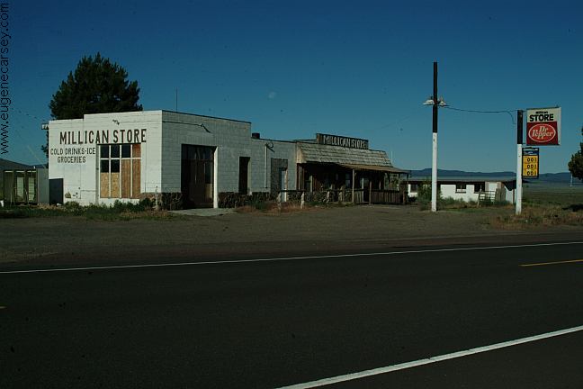
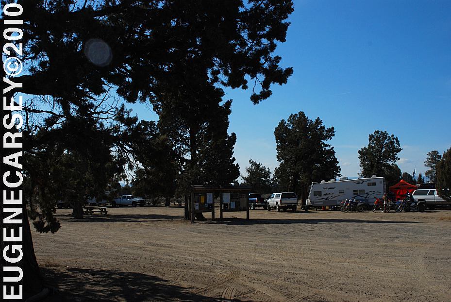
Millican Valley OHV
Four Corners Staging Area
MILLICAN
VALLEY OHV AREA
LATITUDE: N 44°03.777
LONGITUDE: W 120°54.545
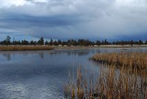
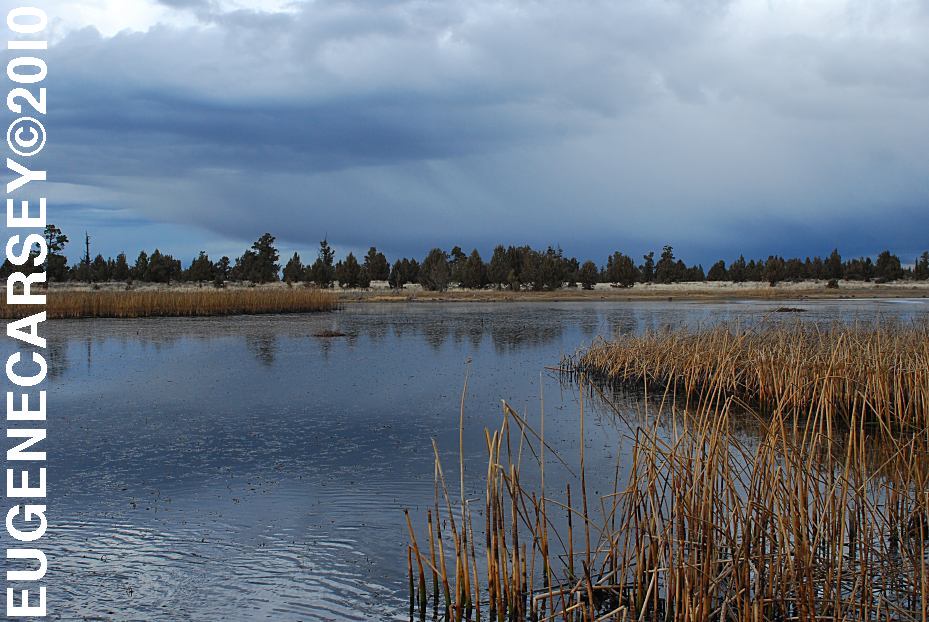
Mayfield Pond
MAYFIELD
POND RECREATION AREA
LATITUDE: N 44°04.980
LONGITUDE: W 121°07.830
Elevation: 3290'
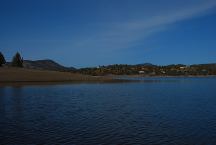
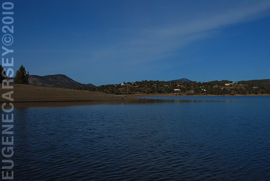
Prineville Reservoir
Viewed from Roberts Bay East #1 Campground
ROBERTS
BAY RECREATION AREA
LATITUDE: N 44°06.810
LONGITUDE: W 120°42.020
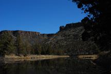
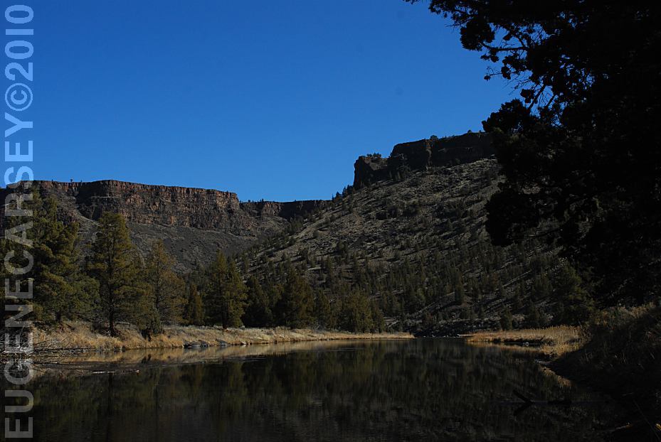
Crooked River
Viewed from Still Water Campground
LOWER
CROOKED RIVER
LATITUDE: N 44°09.755
LONGITUDE: W 120°49.833
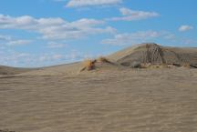
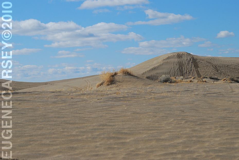
Christmas Valley Sand Dunes
CHRISTMAS
VALLEY SAND DUNES
LATITUDE: N 43°21.184
LONGITUDE: W 120°23.160
Elevation: 4300'
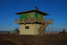
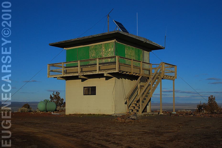
Green Mountain Lookout
GREEN
MOUNTAIN CAMPGROUND
LATITUDE: N 43°23.160
LONGITUDE: W 120°43.370
Elevation: 5160'
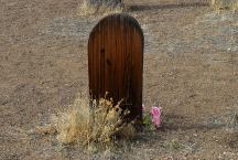
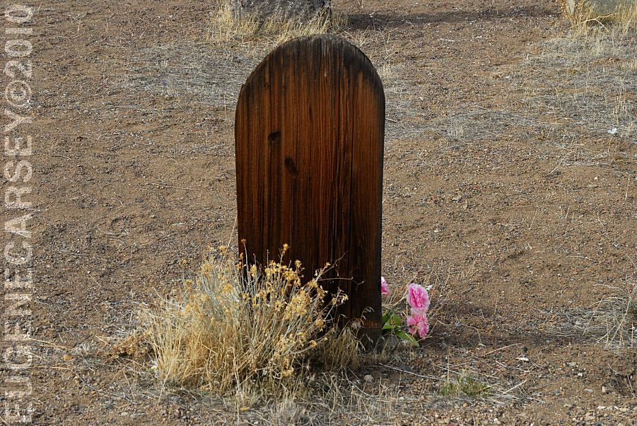
Historic Fort Rock Cemetery
FORT ROCK CEMETERY
LATITUDE: N 43°22.245
LONGITUDE: W 121°03.828
There was a grave marker that said
Killed By Sheriffs Pose 1913, but it
has disappeared.
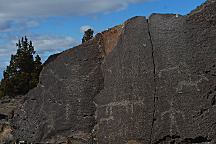
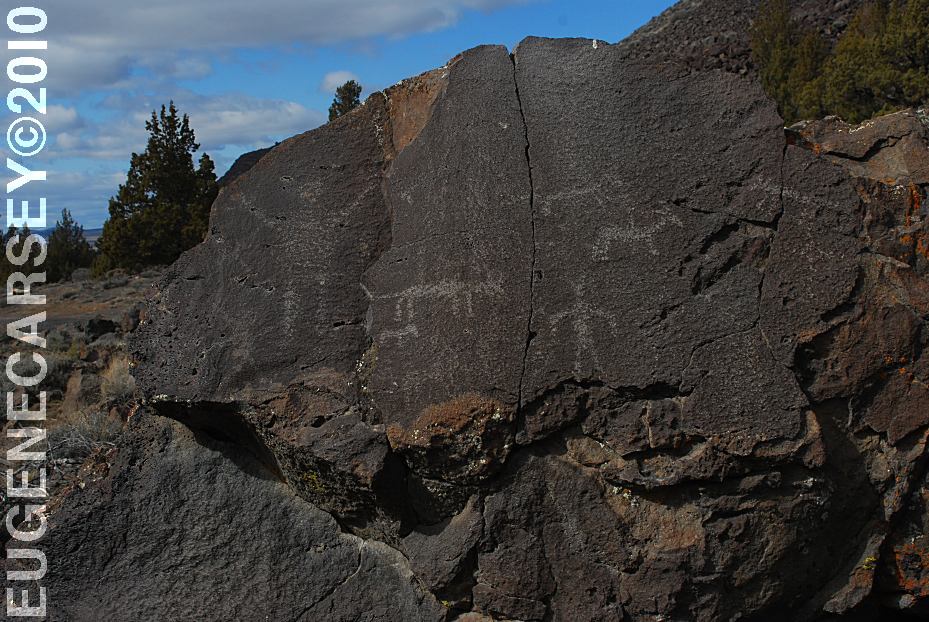
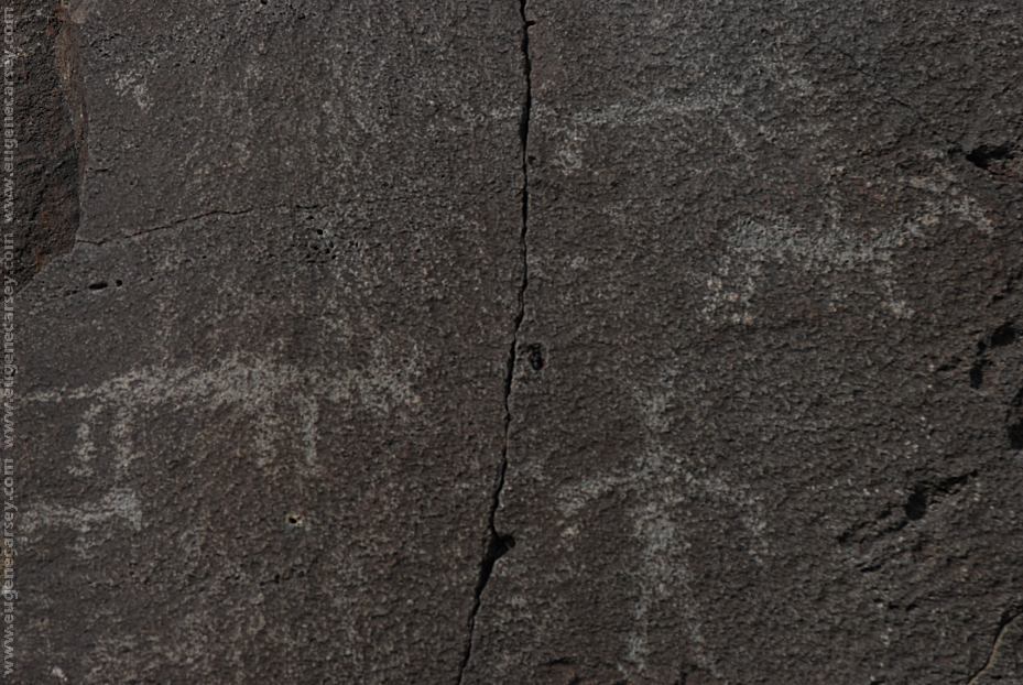
Picture Rock Pass Petroglyphs
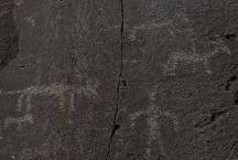
These petroglyphs are used for most of the
tourist brochures and information guides in
Lake County.
PICTURE ROCK PASS PETROGLYPHS
LATITUDE: N 43°02.880
LONGITUDE: W 120°48.020
Petroglyphs on Highway 31 / MP 63
Six miles north from Summer Lake, OR
There are more petroglyphs in the area.
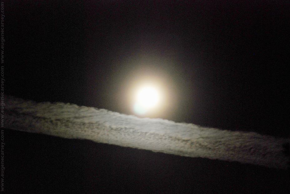
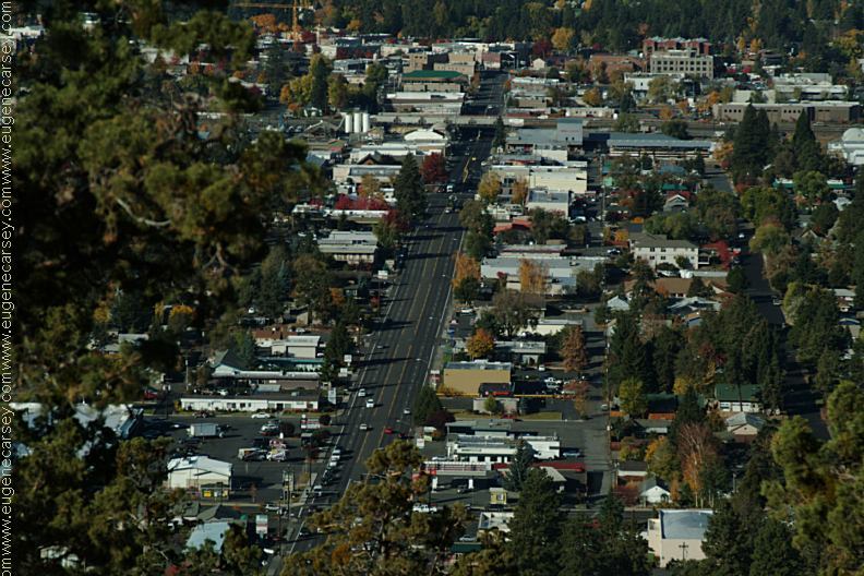
Funny Clouds
Bend, OR

www.eugenecarsey.com
Camped here August 5, 2007
dispersedcampgrounds.com
Free campgrounds and camping
OREGON CAMPGROUND DIRECTORY
DESCHUTES NATIONAL FOREST
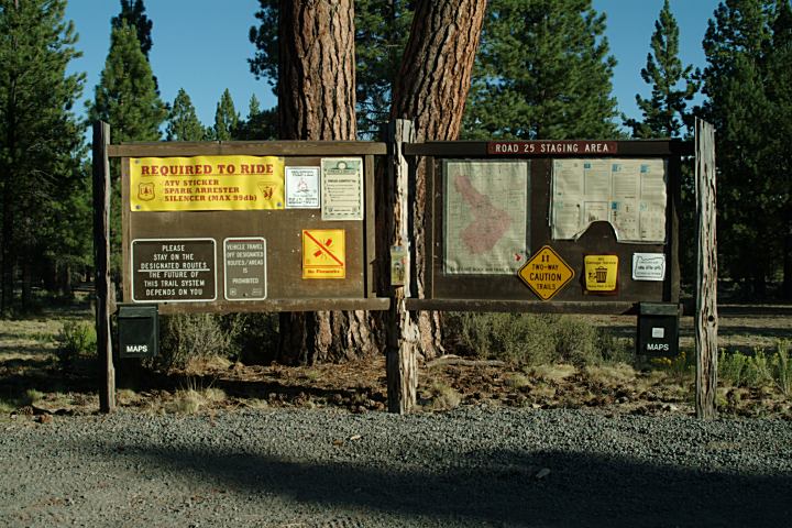
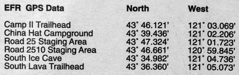
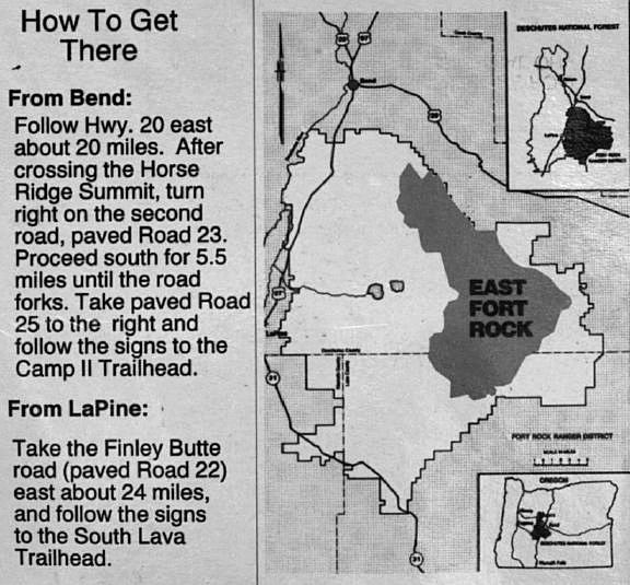
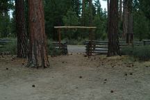
EAST FORT ROCK OHV TRAIL SYSTEM
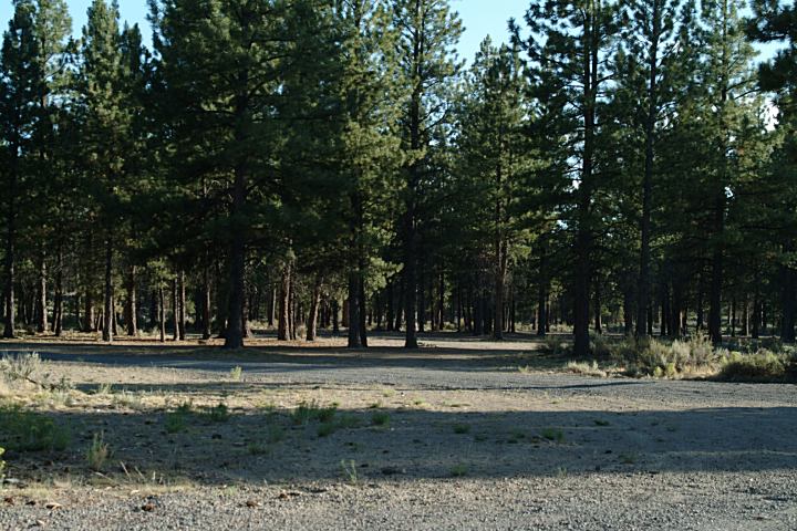
ROAD 25 STAGING AREA
|