|
|


|
Free camping and campgrounds
|
|
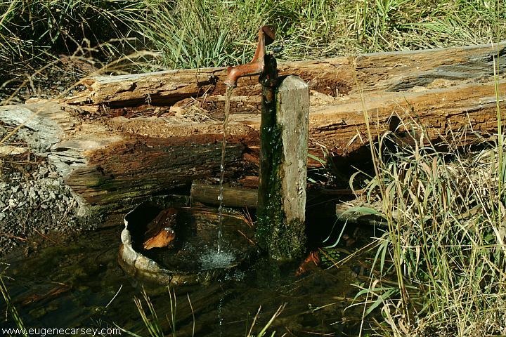
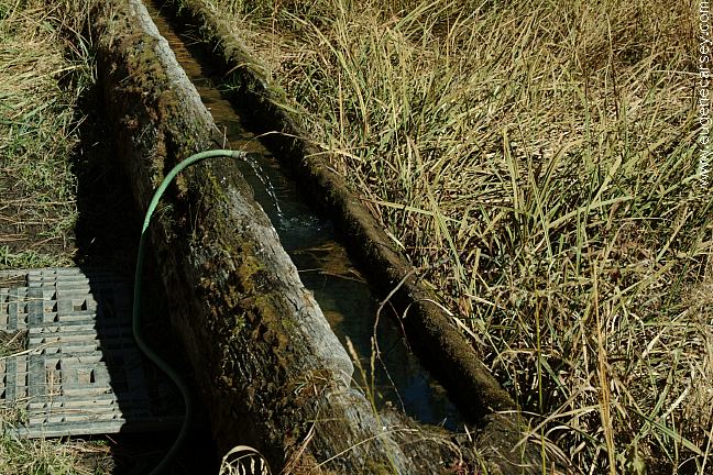
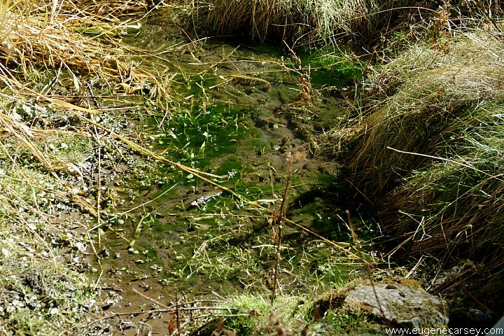
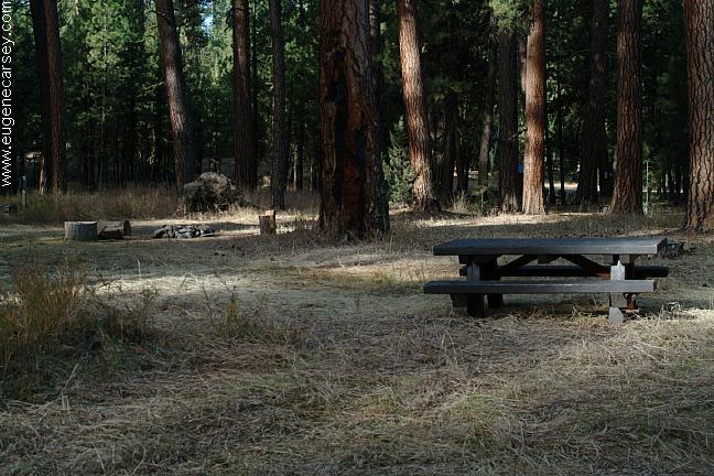
BUCK SPRINGS CAMPGROUND
DOE SPRINGS CAMPGROUND
There are several free campgrounds in
|

DIRECTIONS: ROAD CONDITIONS: It is recommended to buy a Forest Service map
From Burns
Take Highway 20 west to Riley
Turn right on Hwy.138 north
(Pavement ends xx mile)
Stay left on Road#45
Stay left on Road#4540
Stay left on Road#4545
(Road signs clearly mark the direction
to Buck Springs Campground)
Narrow dirt surface roads...
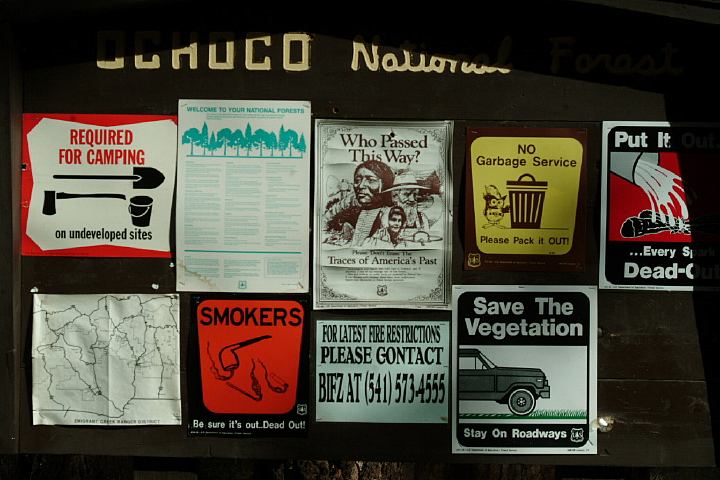
Ochoco National Forest and Crooked River
National Grassland. Cost $6.00
ESTABLISHED CAMPGROUNDS Also see: BROADWAY LAVA FIELD OREGON FREE CAMPGROUND MAP SHOE TREE MILLICAN
VALLEY OHV AREA CHRISTMAS
VALLEY SAND DUNES GREEN
MOUNTAIN CAMPGROUND CHRISTMAS
VALLEY SAND DUNES EAST FORT ROCK OHV TRAIL SYSTEM CAMPGROUND INDEX Camped here Oct.13, 2006 dispersedcampgrounds.com
Road#4540
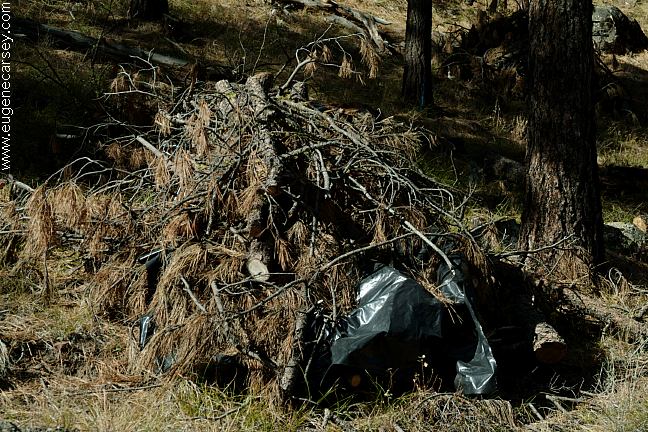
Plastic is helping to save the forest...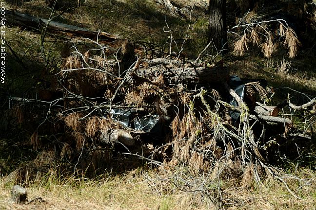
Road#4540
Plastic is everywhere... would they burn it???
CHICKAHOMINY CAMPGROUND
West from Riley on Hwy.20
Chickahominy Reservoir...
DELINTMENT LAKE CAMPGROUND
Ochoco NF Fee Area
EMIGRANT CAMPGROUND
Ochoco NF Fee Area
Broadway Lava Field
Also see: MAYFIELD
POND
Also see: MILLICAN
OHV
Also see: NORTH
SHORE ROAD
Also see: OCHOCO NF /
COTTONWOOD
Also see: OCHOCO NF /
ROAD#16
Also see: OCHOCO
NF / ROAD#27
Also see: PINE MOUNTAIN OBSERVATORY
Also see: SALT
CREEK ROAD
Also see: STEENS
MOUNTAIN
Also see: SUCCOR
CREEK
Google Custom Map by Ian
Google custom map by Ian with most of the
free campgrounds in Oregon.
Steens Mountain in the distance
From Hwy.205 at Buena Vista Viewpoint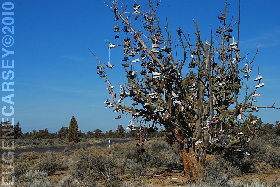
Tree covered with shoes on SW Reservoir Road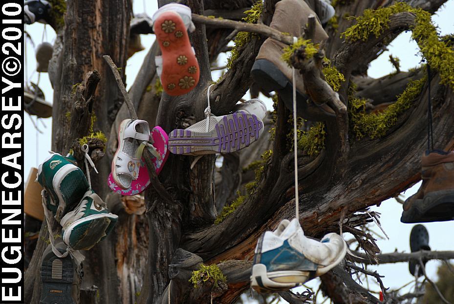
Tree covered with shoes on SW Reservoir Road
LATITUDE: N 44°04.484
LONGITUDE: W 120°56.963
SW Reservoir Road / MP 10
3 1/2 miles past Alfalfa Store
Near Willard Road and Alfalfa Curves
We understand that it is artwork,
but it is also a good way to dispose of
your garbage... like throwing old tires
out in the desert and painting them
different colors, except that the tree
will eventually be cut down.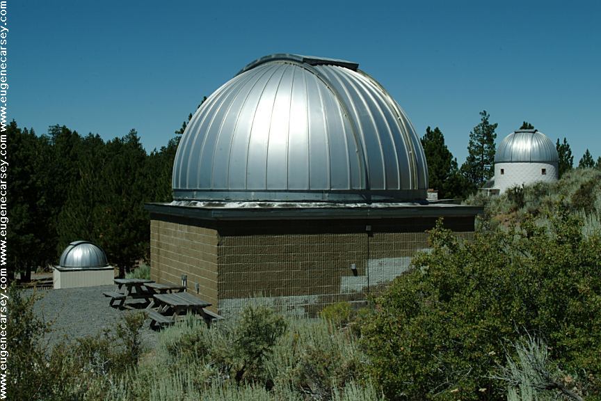
Pine Mountain Observatory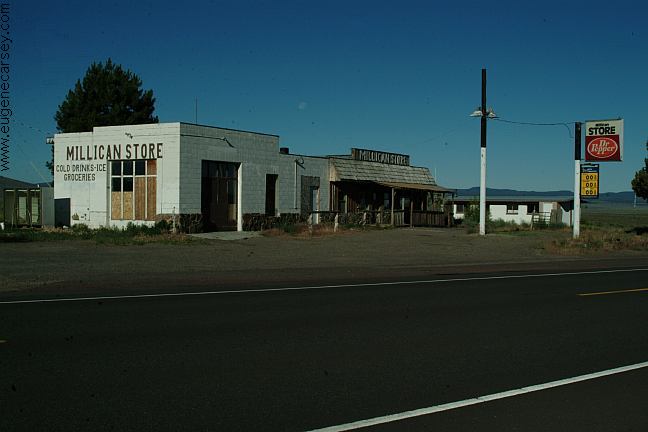
Millican
We have bought gas here in the past,
now is Millican is becoming a Ghost Town.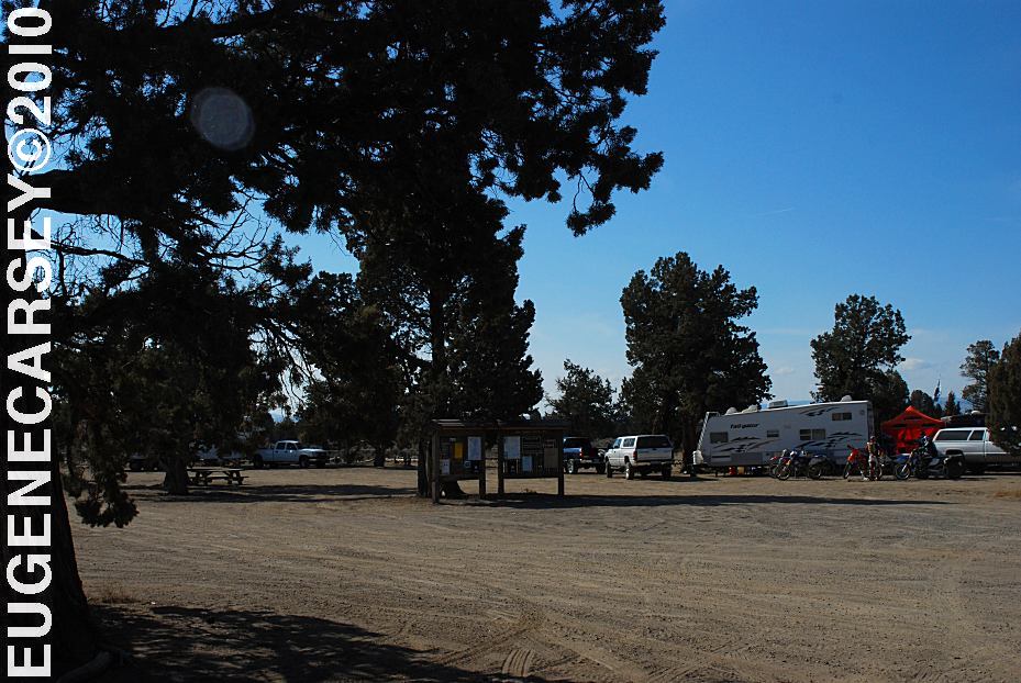
Millican Valley OHV
Four Corners Staging Area
LATITUDE: N 44°03.777
LONGITUDE: W 120°54.545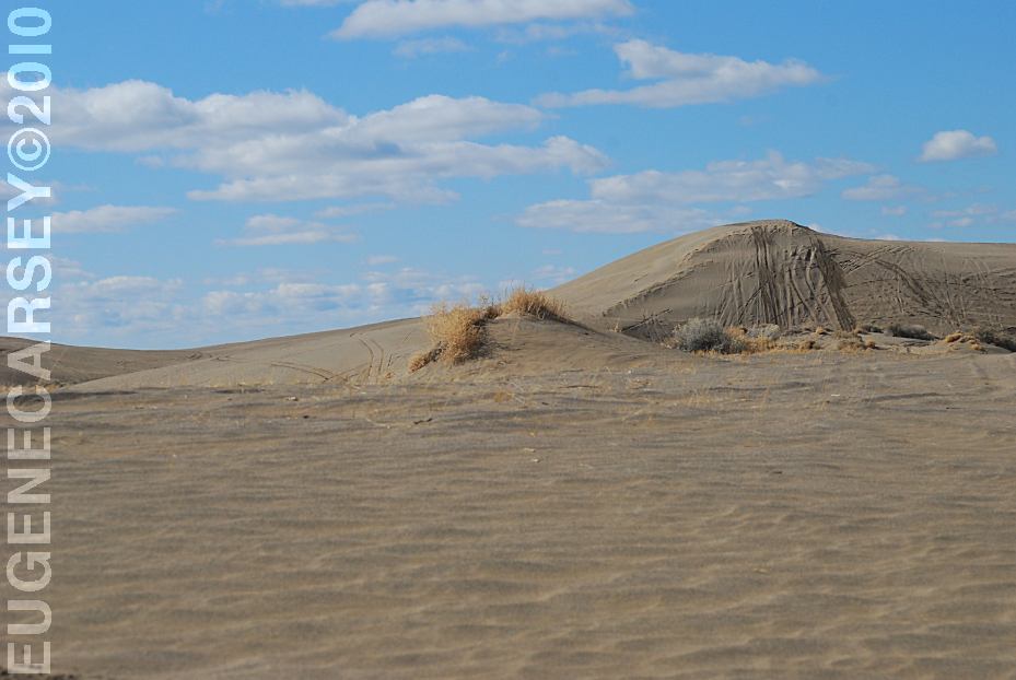
Christmas Valley Sand Dunes
LATITUDE: N 43°21.184
LONGITUDE: W 120°23.160
Elevation: 4300'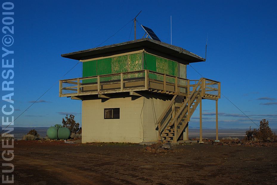
Green Mountain Lookout
LATITUDE: N 43°23.160
LONGITUDE: W 120°43.370
Elevation: 5160'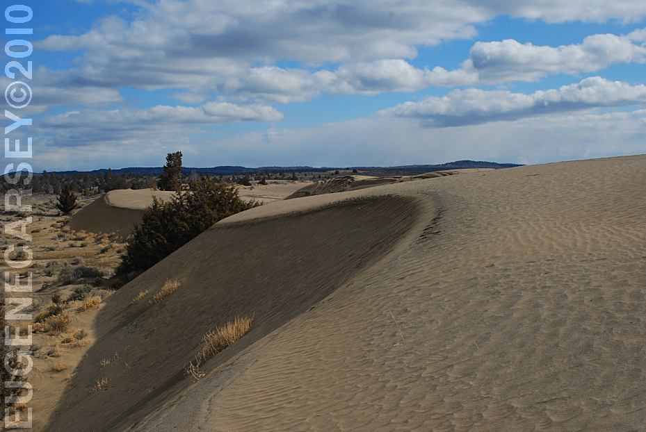
Christmas Valley Sand Dunes
LATITUDE: N 43°21.184
LONGITUDE: W 120°23.160
Elevation: 4300'
(GPS from Junipers Camp Information Board)
Christmas Valley Sand Dunes are only a couple
miles from Green Mountain.. There are dispersed
and primitive camping areas.
West from Pine Mountain Observatory.
Camping is permitted at all the trailheads
and staging areas, as well as any existing
dispersed camps.
CAMP
II TRAILHEAD
ROAD
25 STAGING AREA
CHINA
HAT CAMPGROUND
ROAD
2510 STAGING AREA
SOUTH
LAVA TRAILHEAD
SAND
SPRINGS
Complete free campground listing
Chemtrails of the USA
What are all those funny clouds in the sky...
Every day from morning to night, continuous
aerial spraying.
Free campgrounds and camping
OREGON CAMPGROUND DIRECTORY
OCHOCO NATIONAL FOREST
DOE SPRINGS CAMPGROUND
BUCK SPRINGS CAMPGROUND
