|
|


|
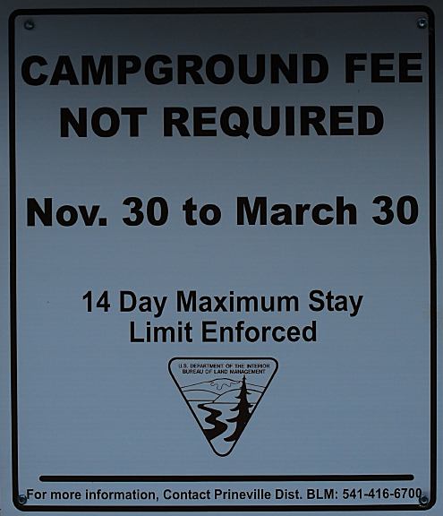
Free camping and campgrounds
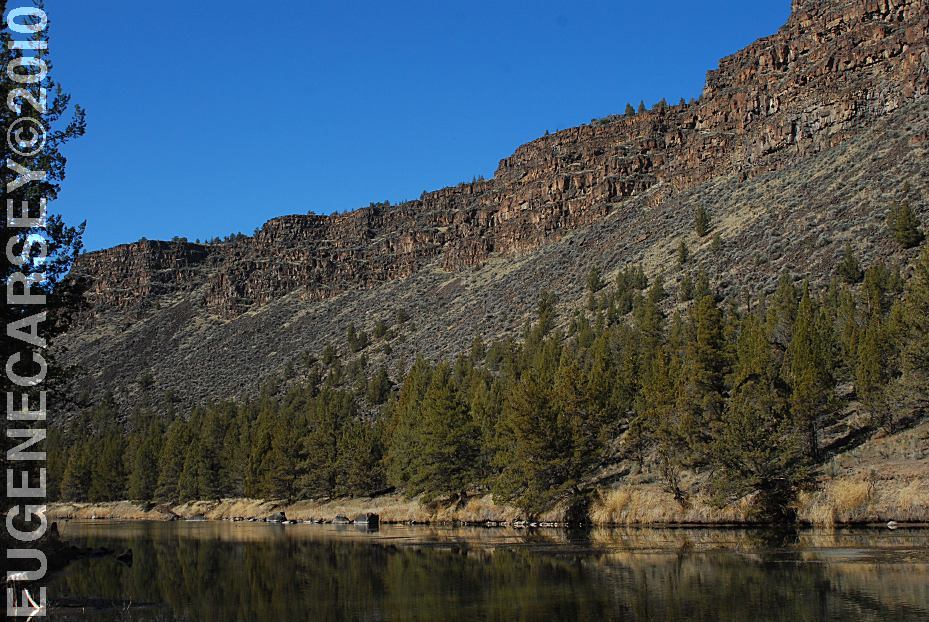
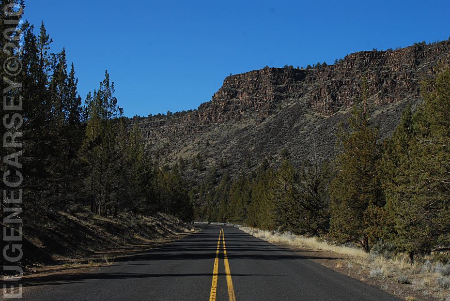
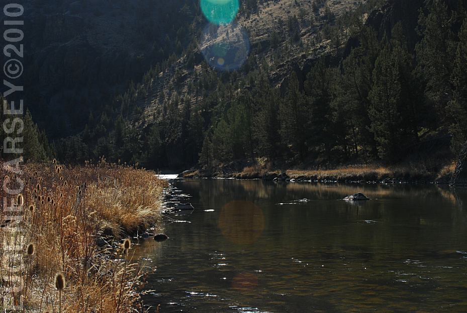
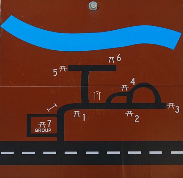
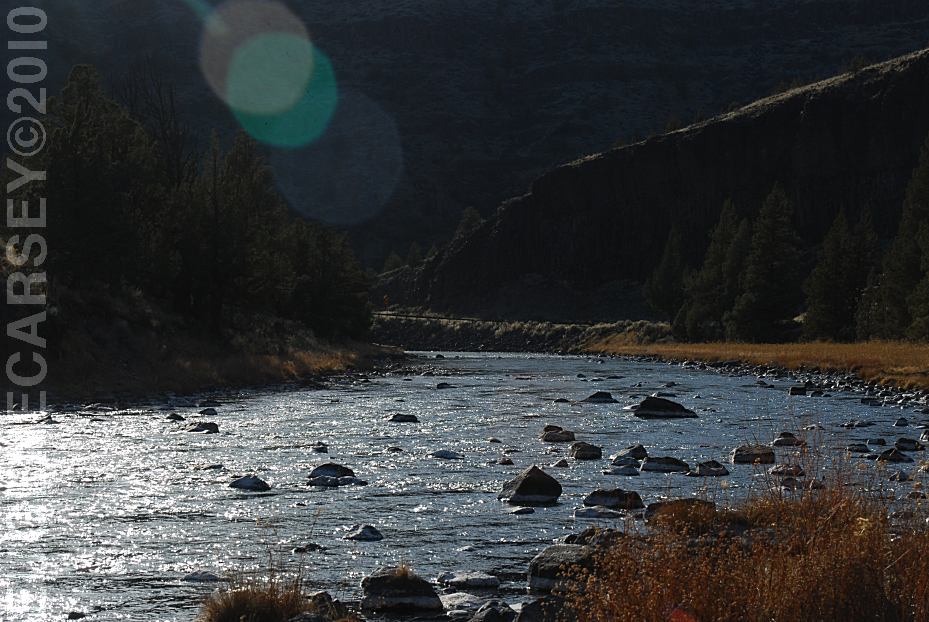
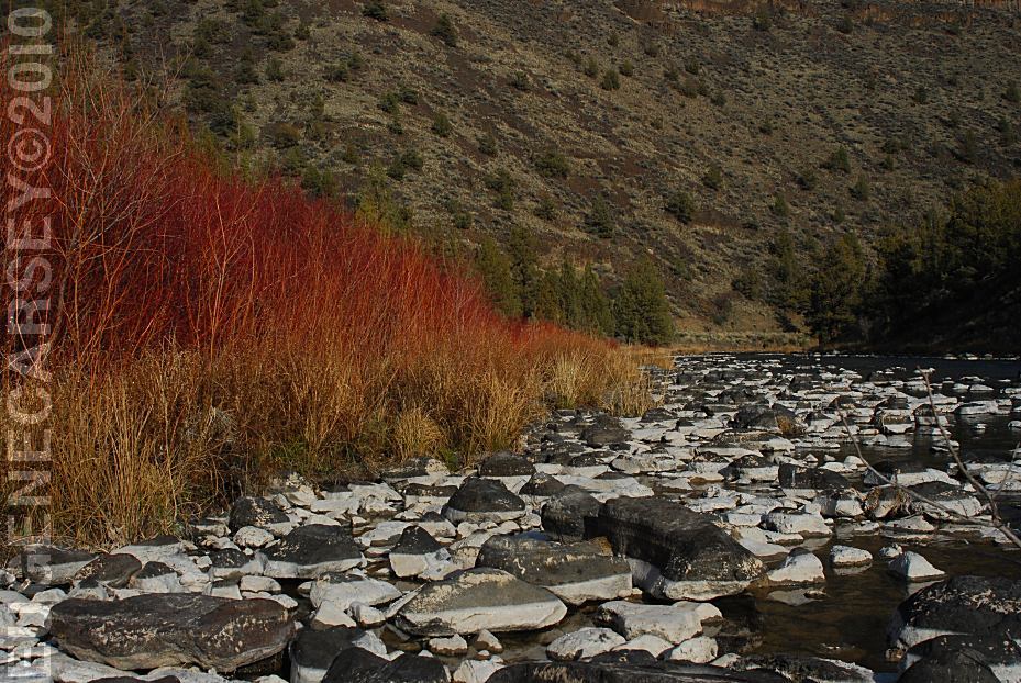
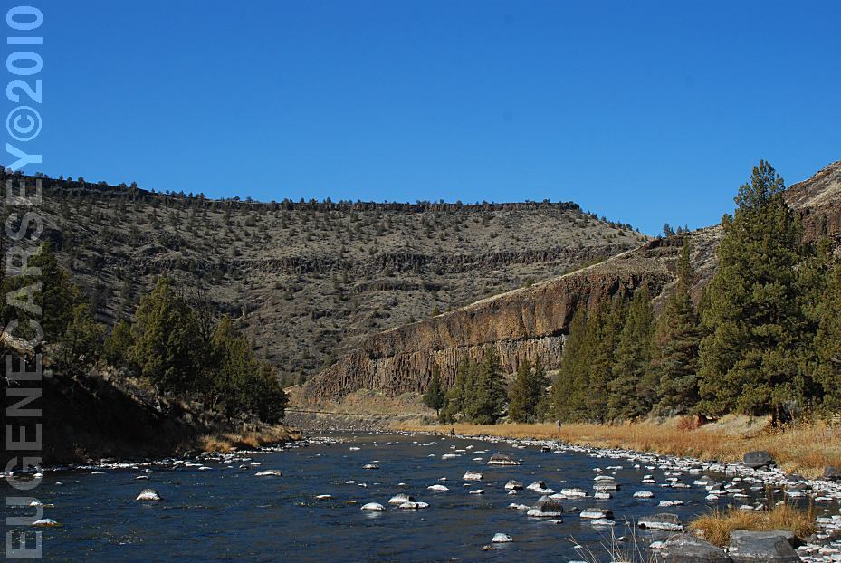
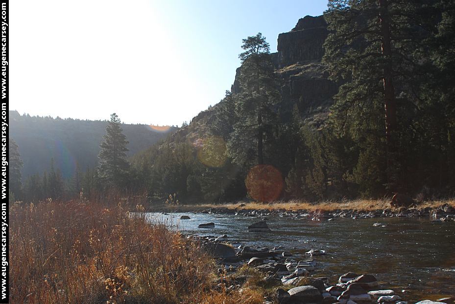
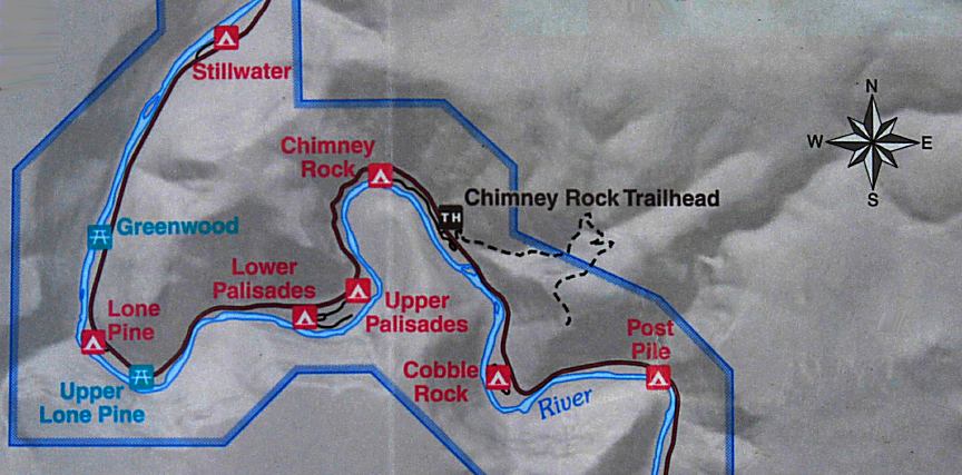
LOWER CROOKED RIVER INFORMATION
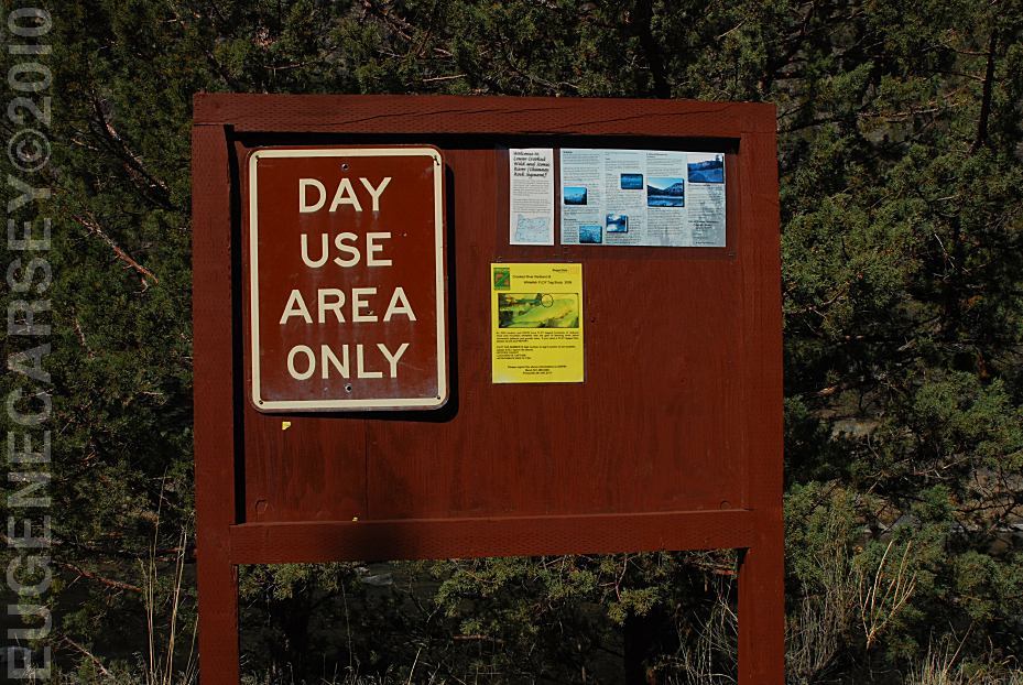
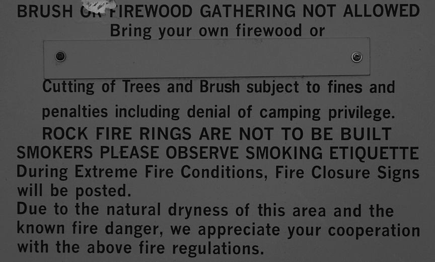
CAMPGROUND FEE NOT REQUIRED The Lower Crooked Wild and Scenic River, The Lower Crooked Wild and Scenic River has
2,300 |

|
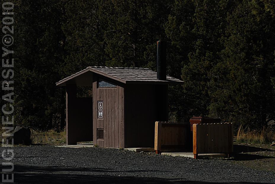
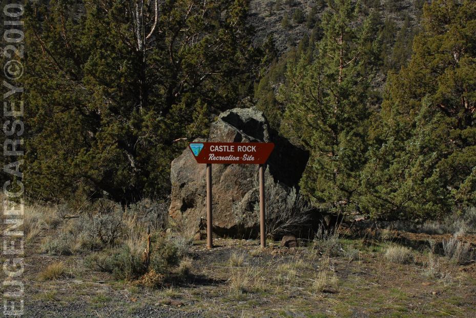
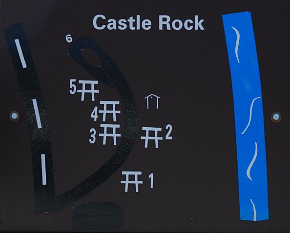
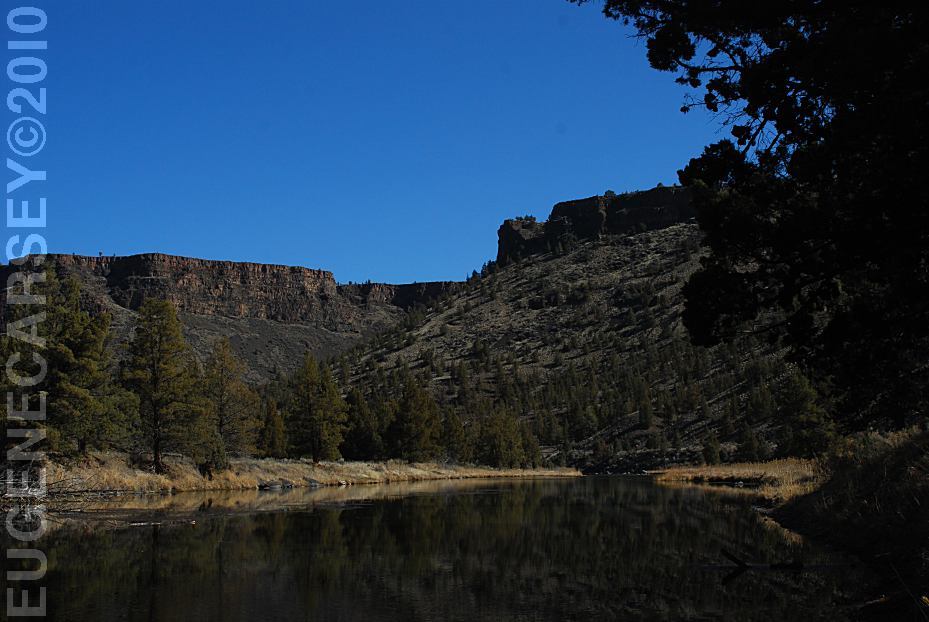
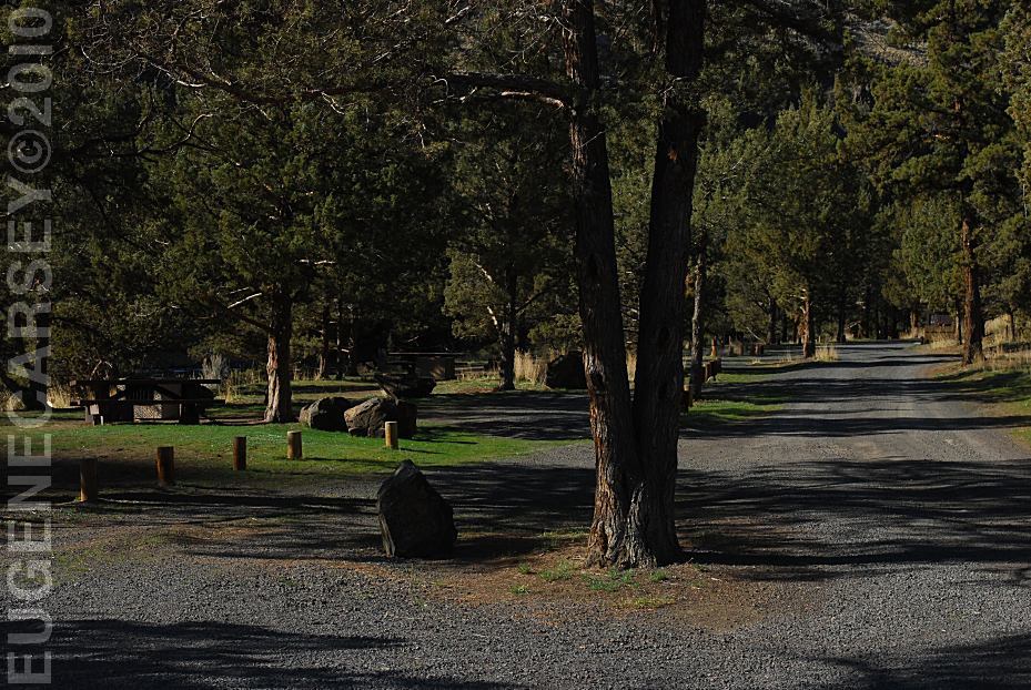
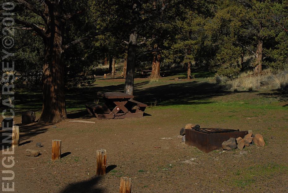
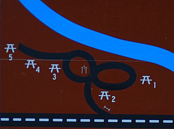
CASTLE ROCK CAMPGROUND |
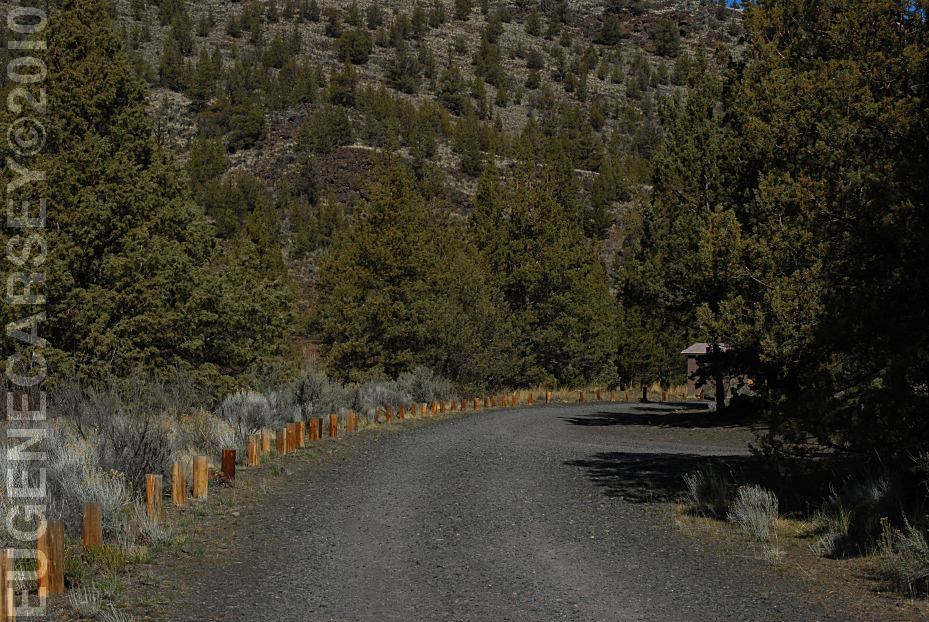
|
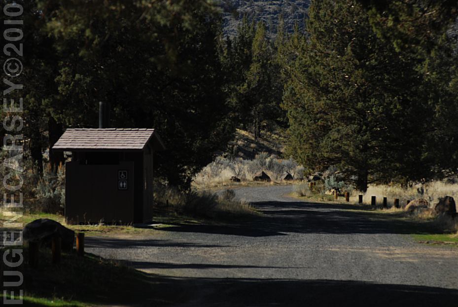
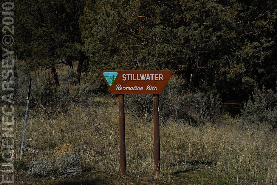
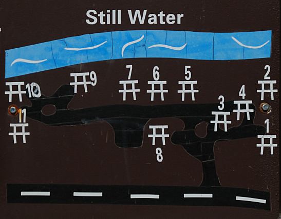
STILLWATER CAMPGROUND |

|
GREENWOOD DAY USE AREA |
|
LONE PINE RECREATION SITE |

|
PHOTO HERE UPPER LONE PINE DAY USE |
|
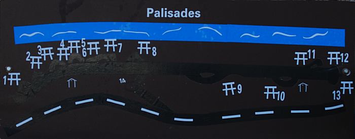
LOWER PALISADES RECREATION SITE |
|
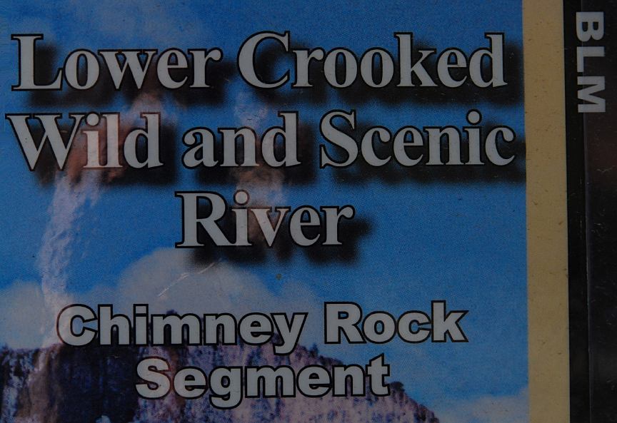
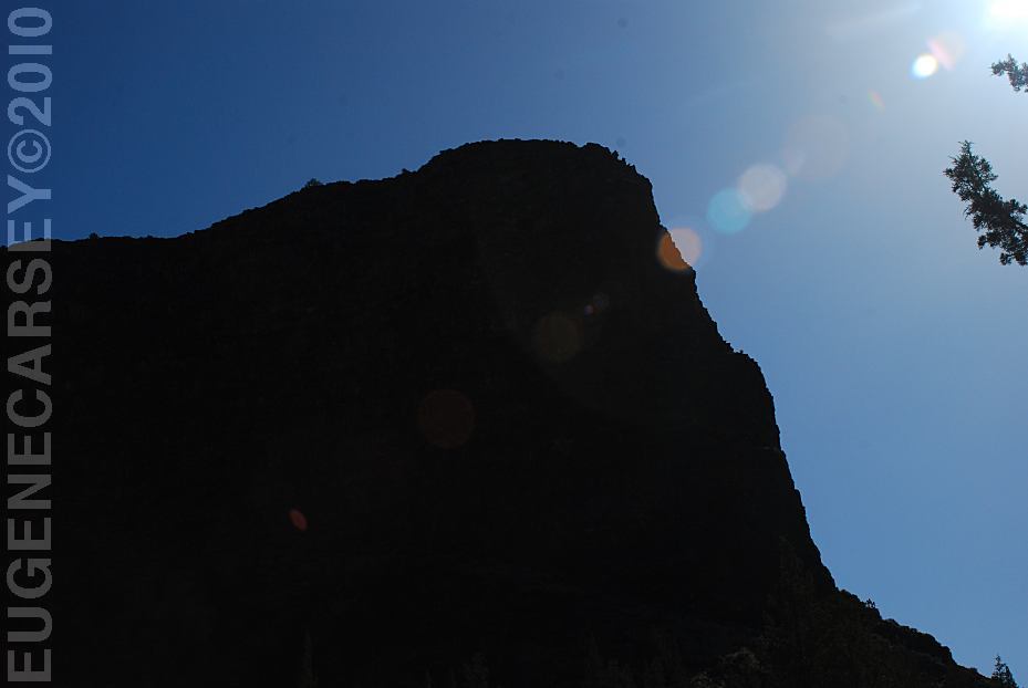
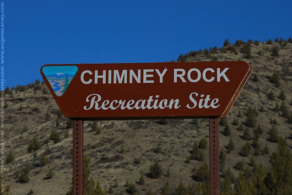
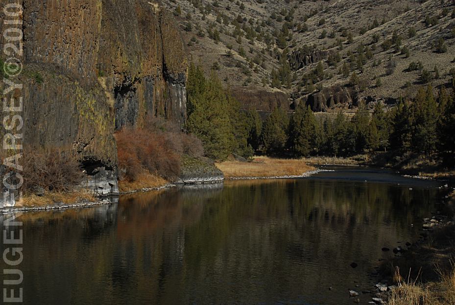
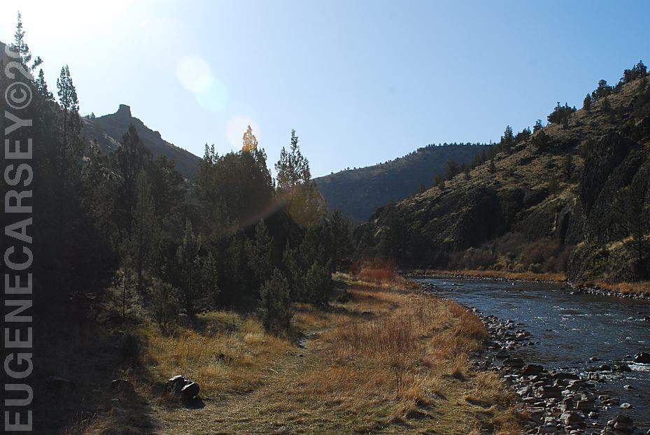
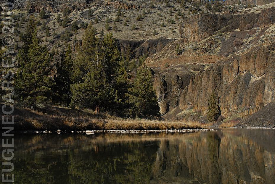
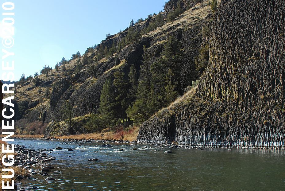
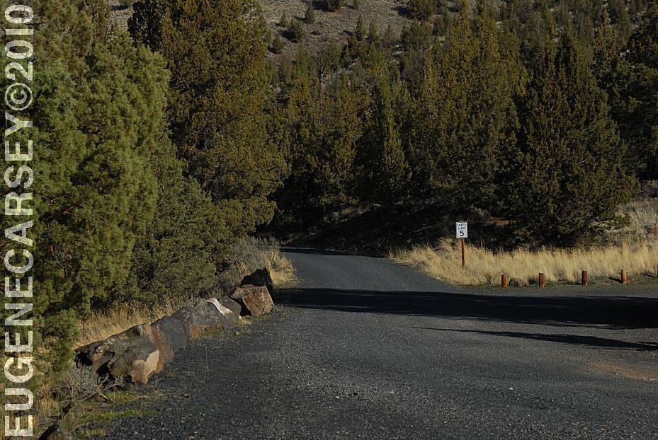
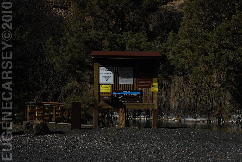
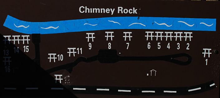
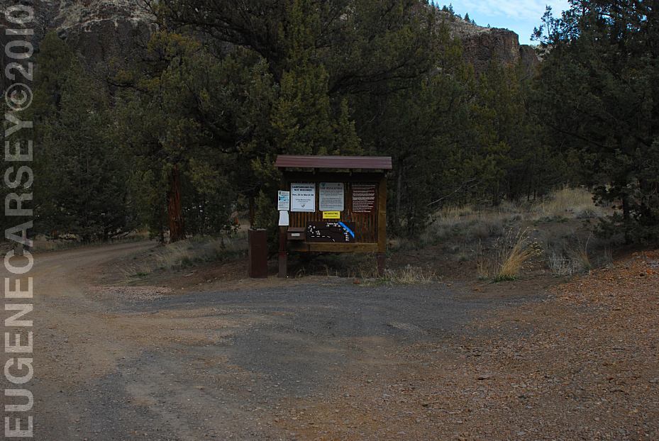
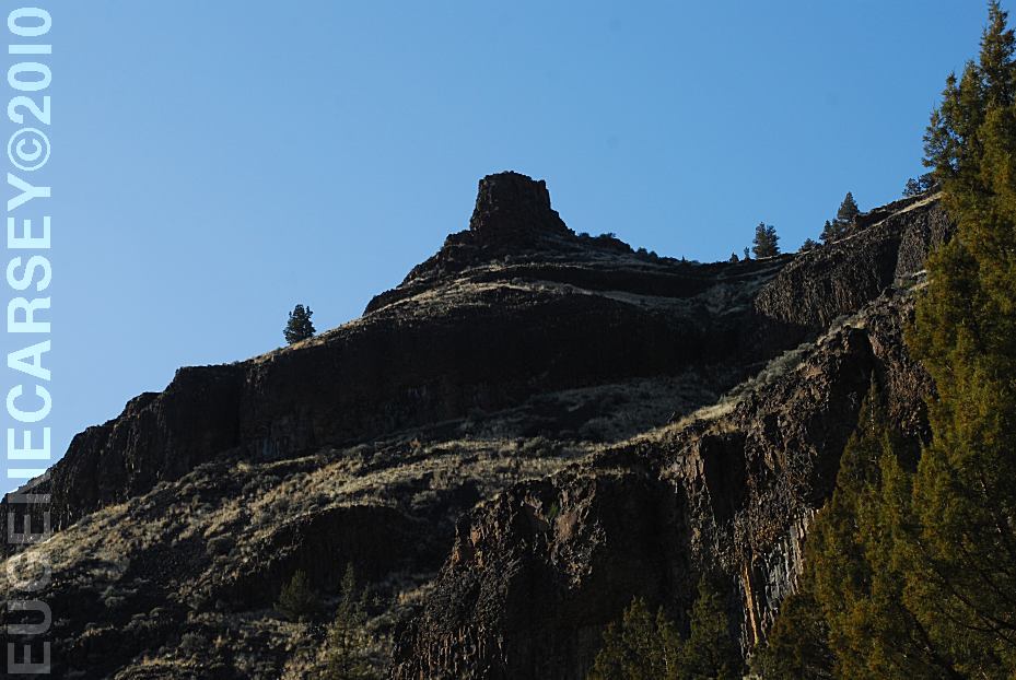
CHIMNEY ROCK RECREATION SITE |
|
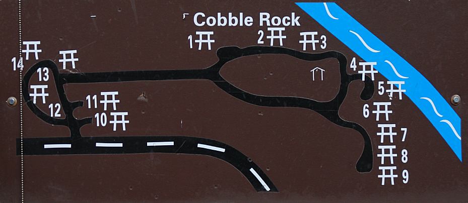
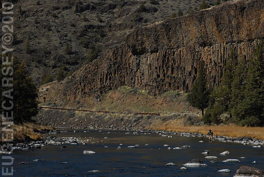
COBBLE ROCK RECREATION SITE |
|
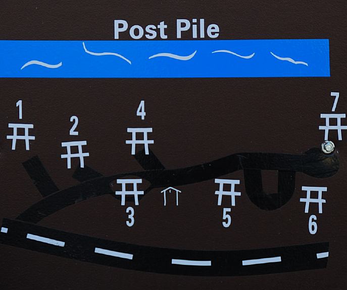
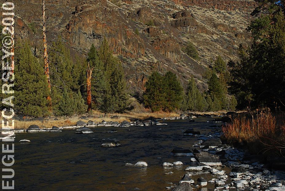
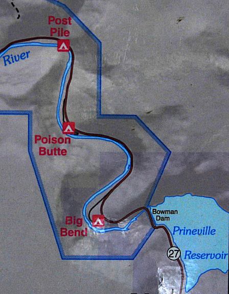
DEVILS POST PILE RECREATION SITE |
|
POISON BUTTE RECREATION SITE |
|
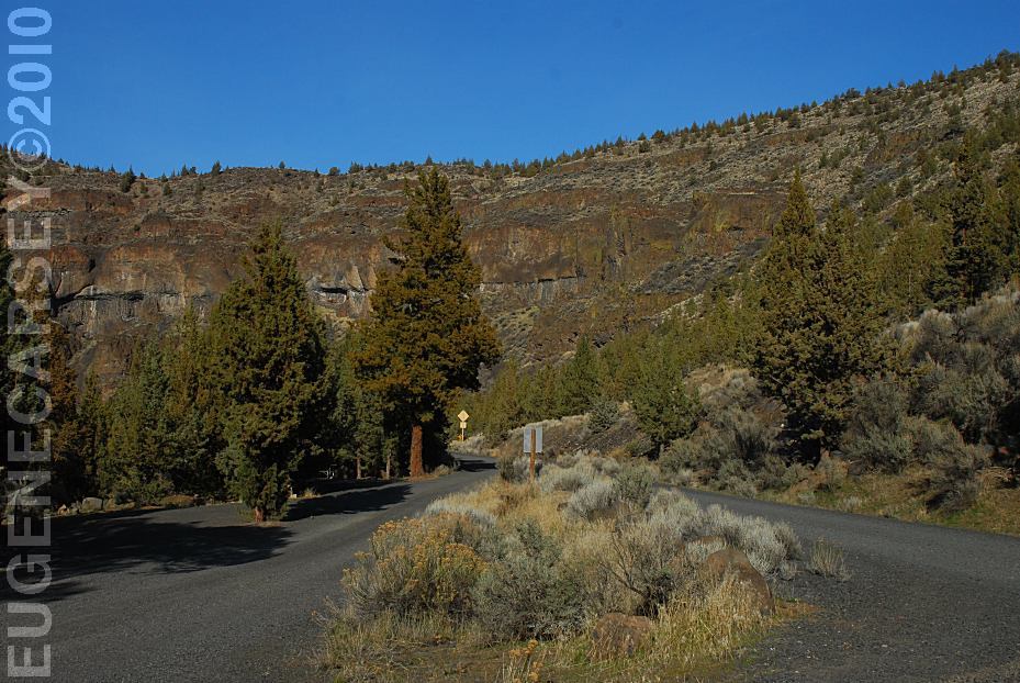
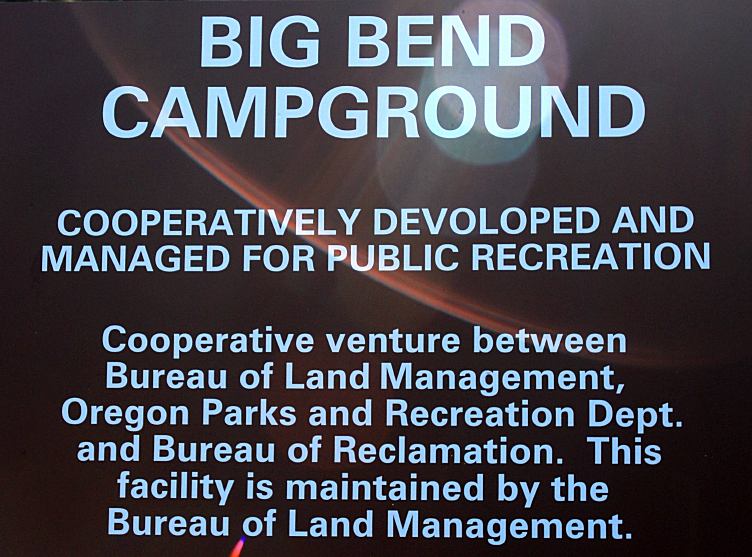
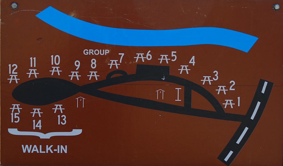
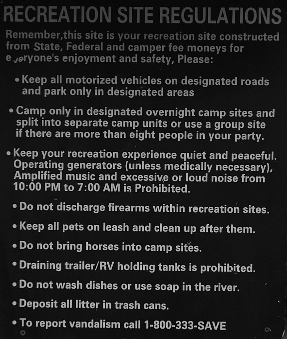
BIG BEND RECREATION SITE |

|
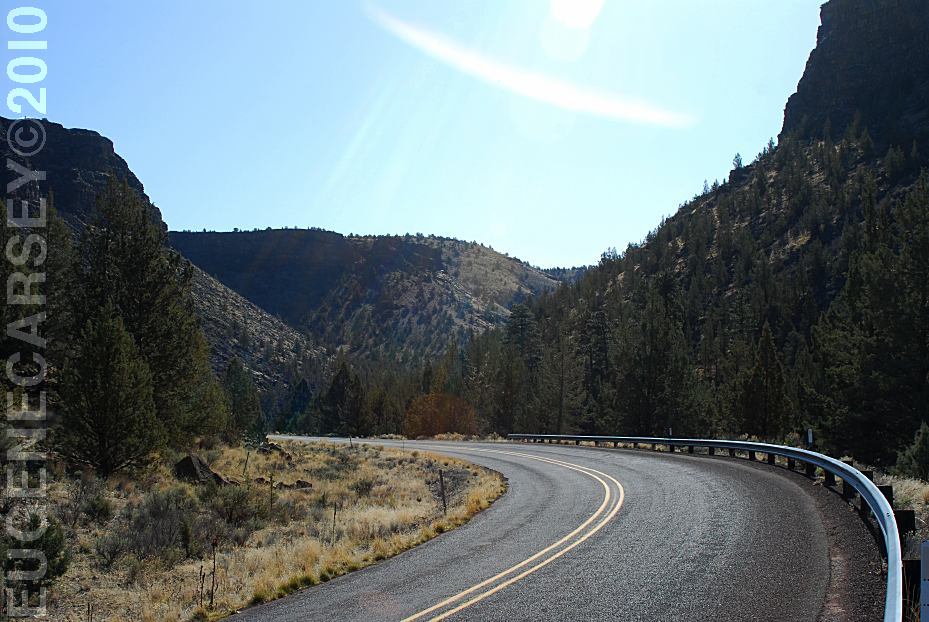
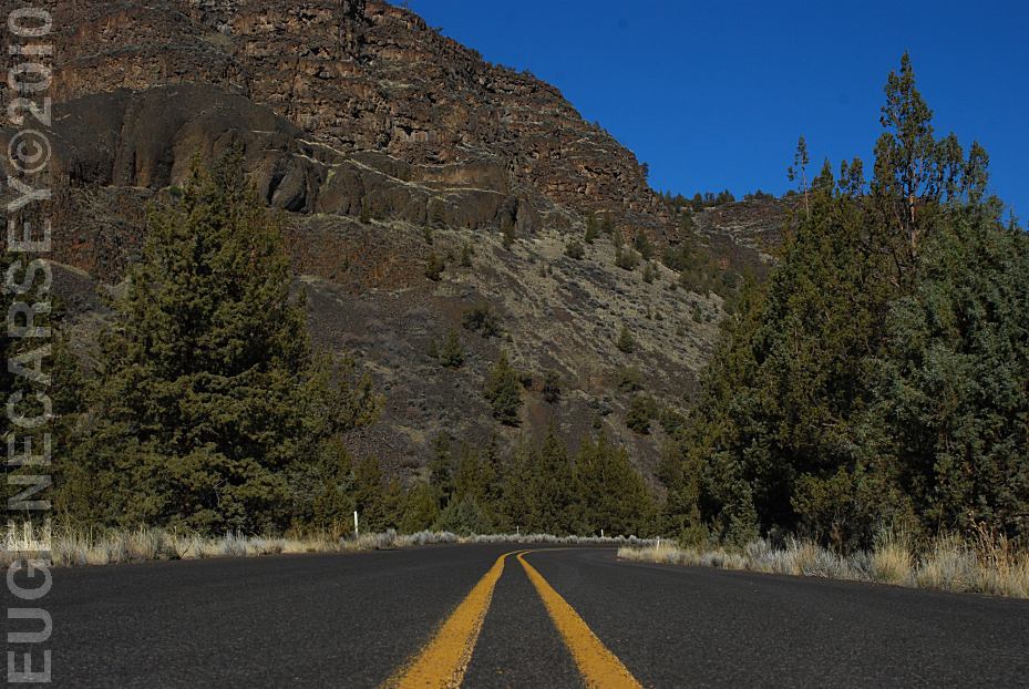
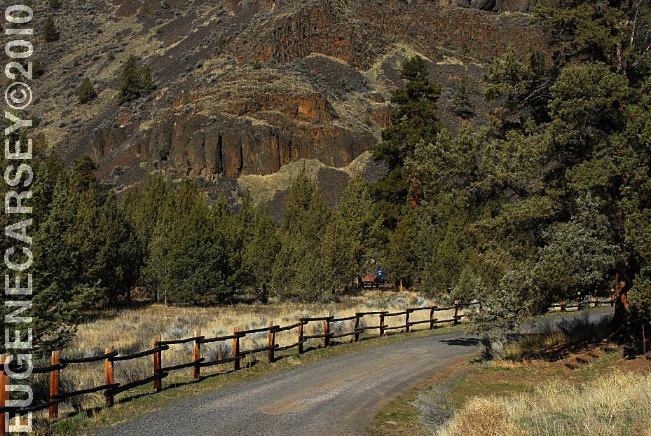
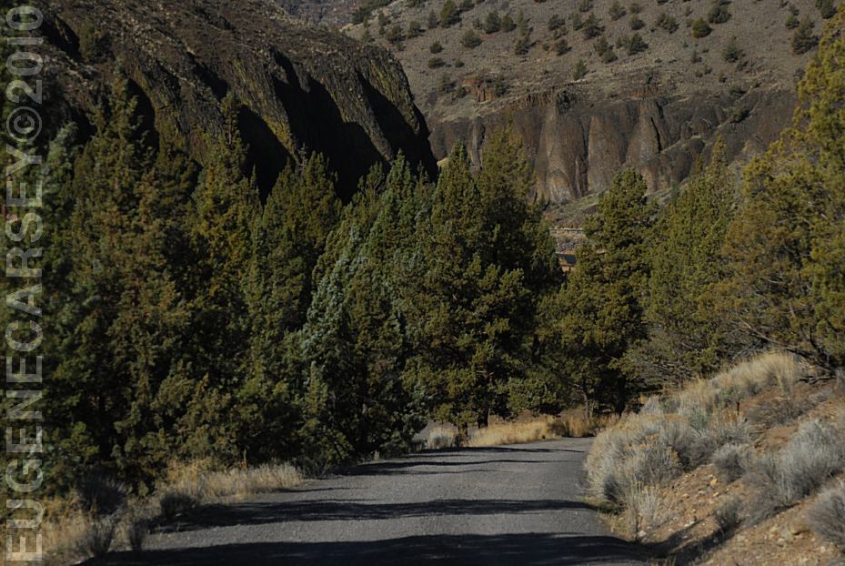
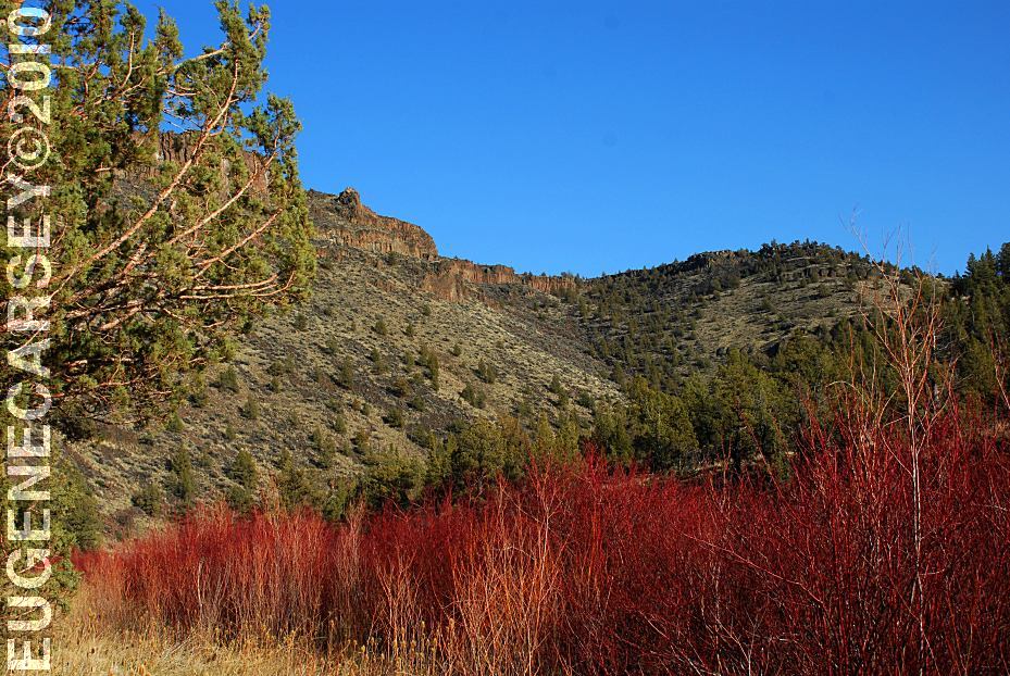
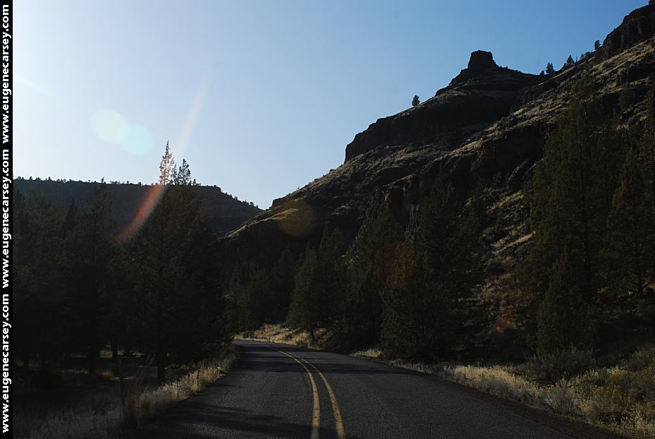
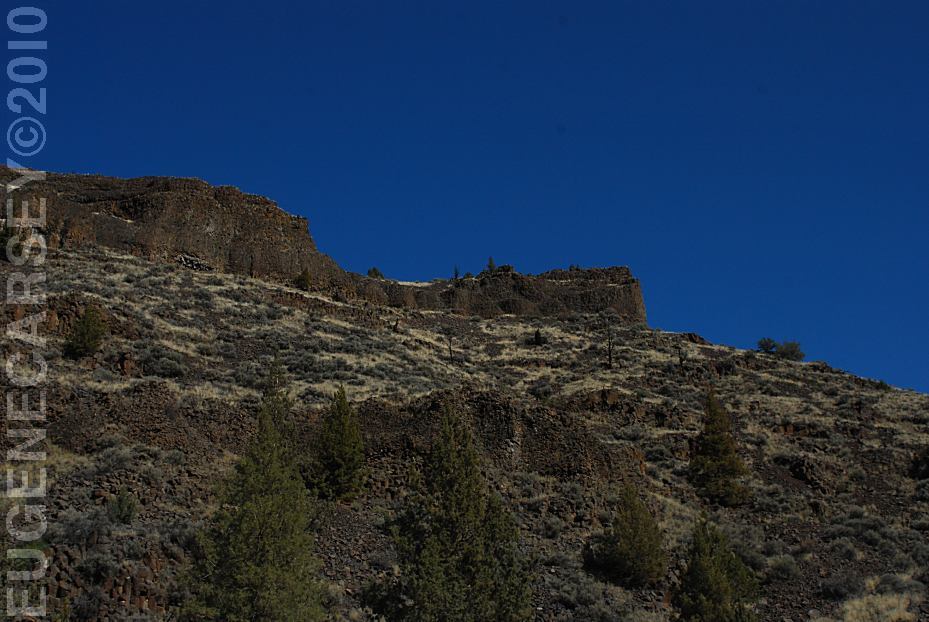
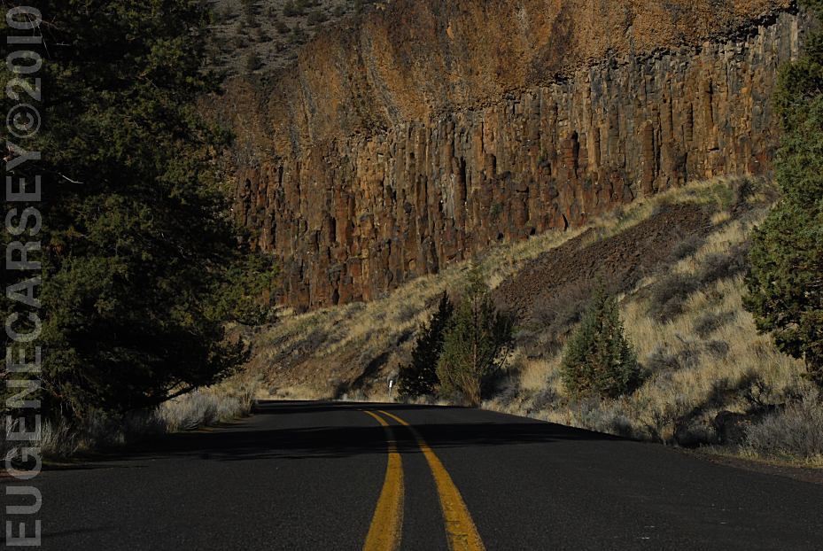
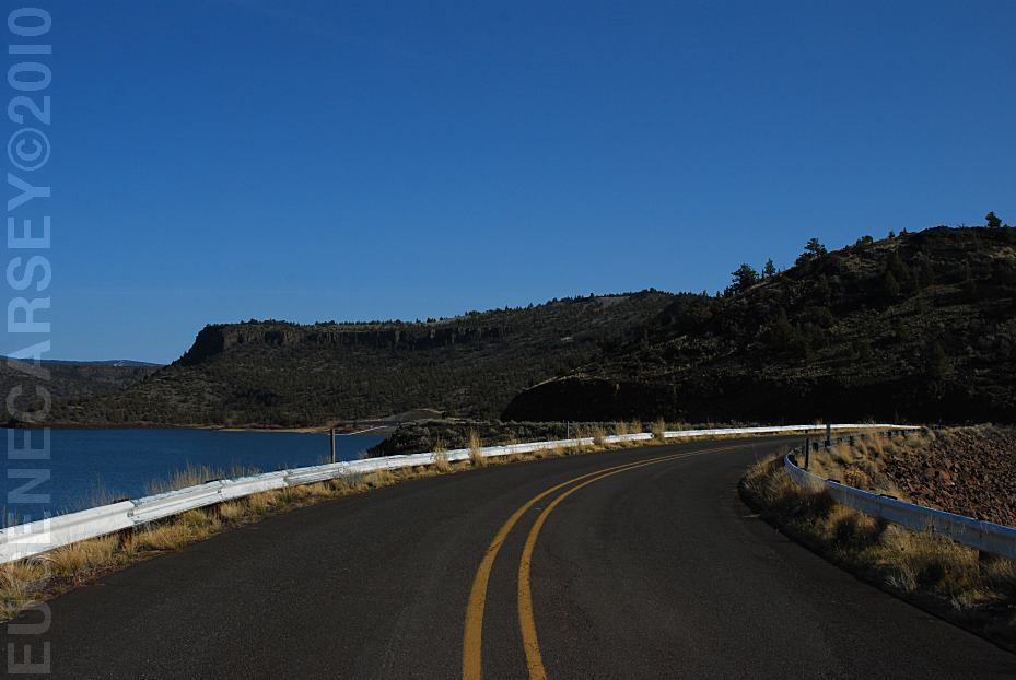
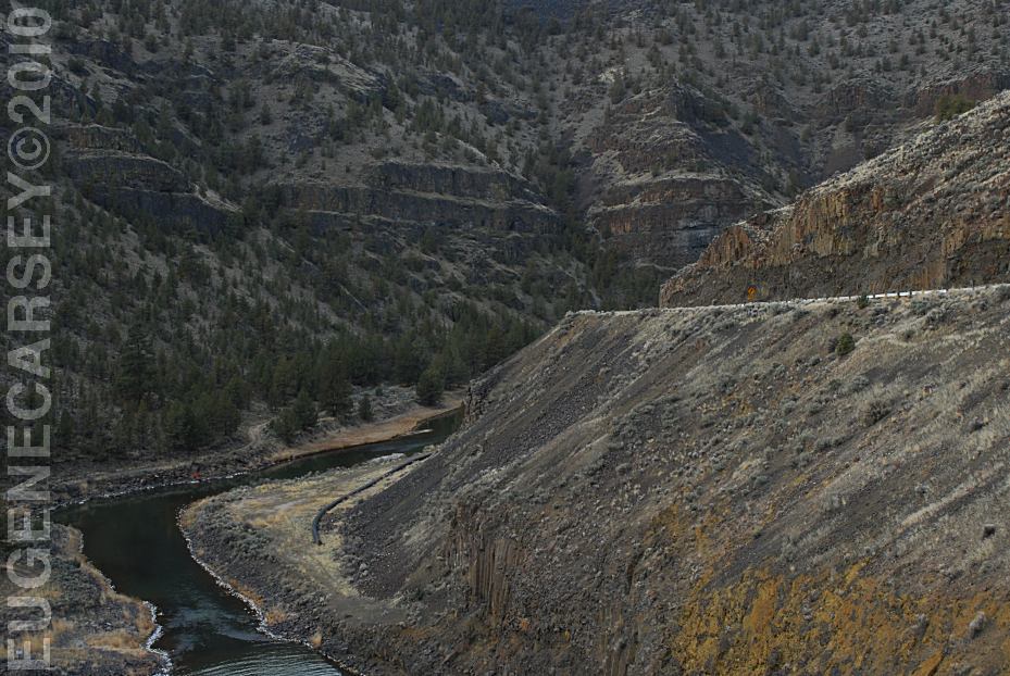
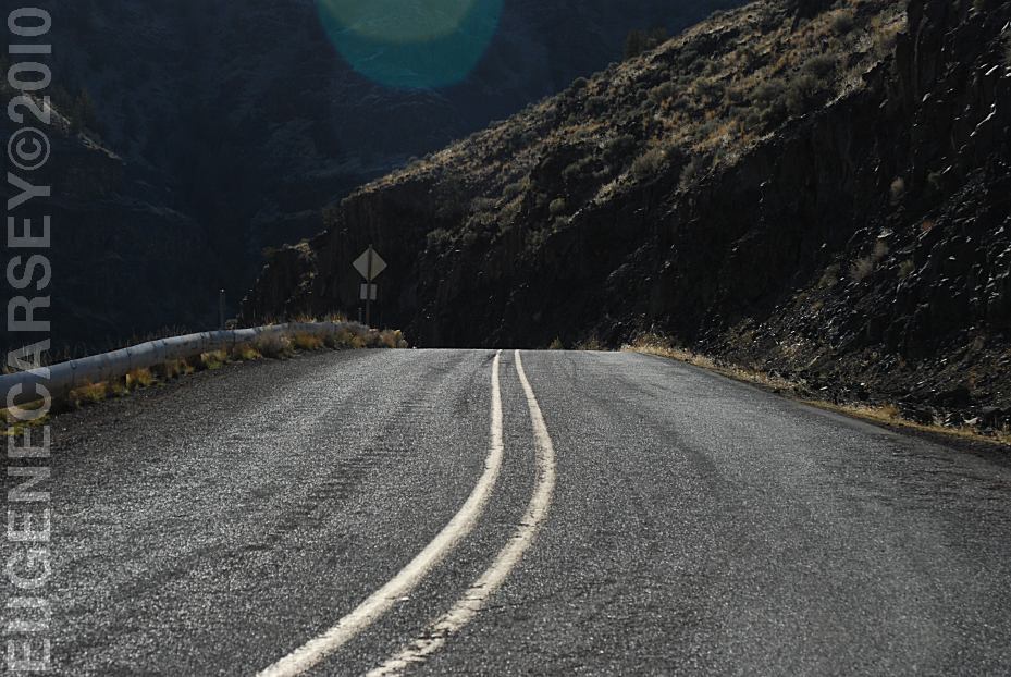
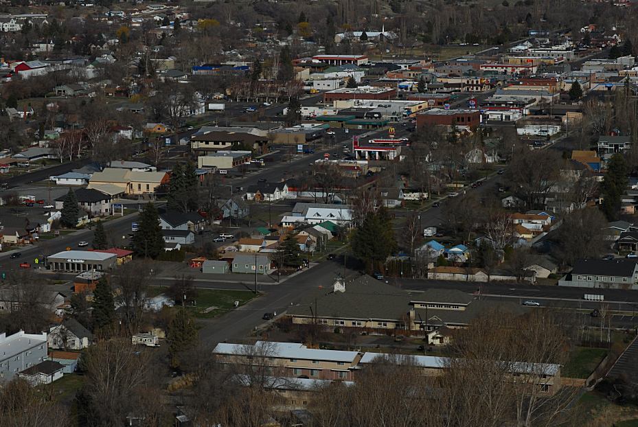
ENTERING CROOKED RIVER
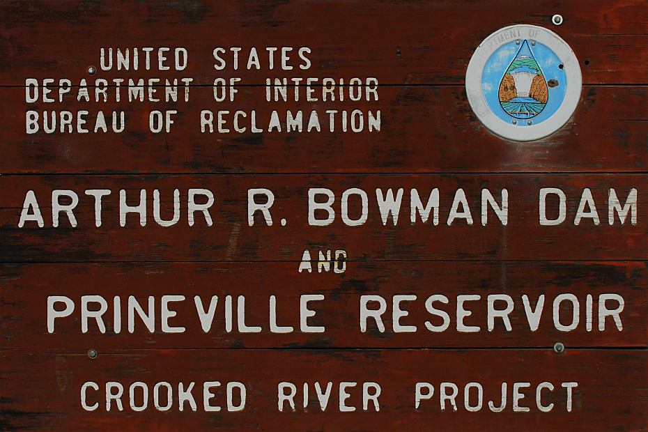
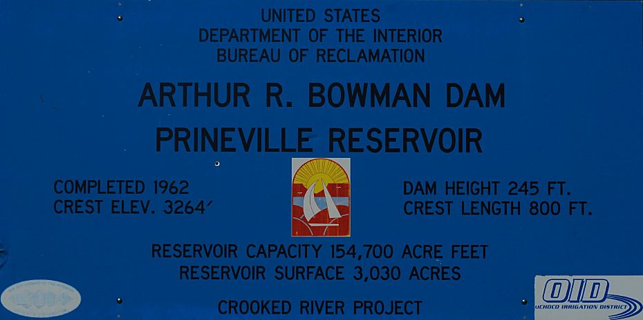
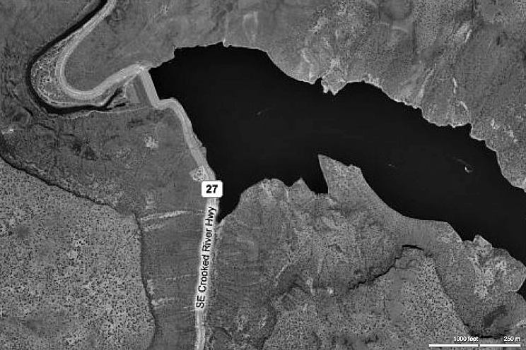
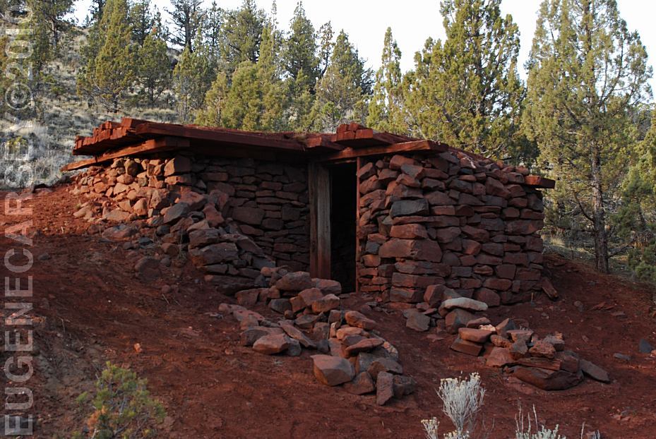
ARTHUR R.BOWMAN DAM
Arthur R. Bowman Dam |
|
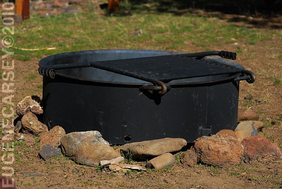
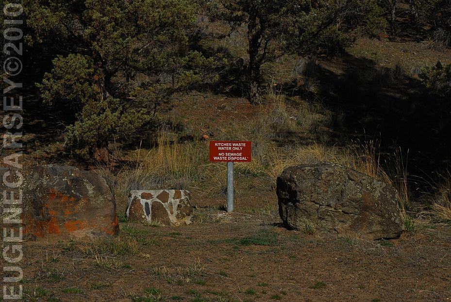
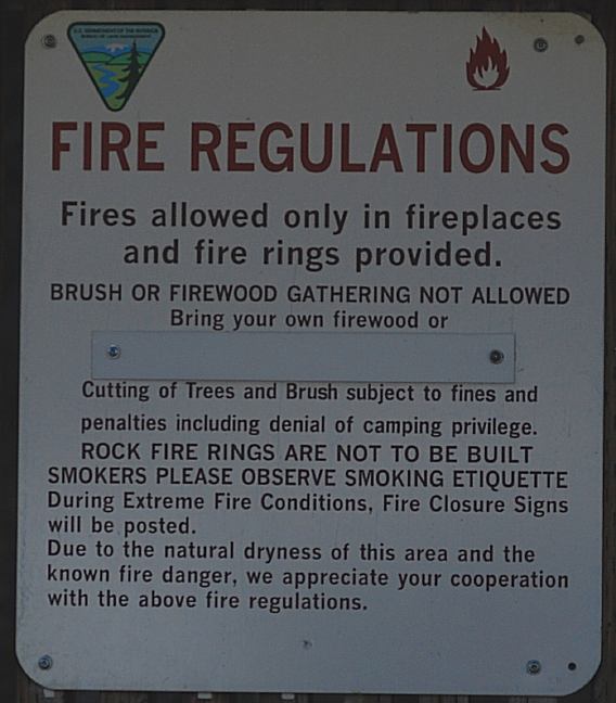
IT IS YOUR RESPONSIBILITY TO
KNOW Use fire responsible - For cooking, a stove is
much
DIRECTIONS: From Bend, OR
From Bend, OR MILEAGE CHART Airport 2 Miles
MILEAGE CHART Salt Creek Road Brothers Millican 14 Miles 7 Miles 10 Miles
POWDER HOUSE COVE |
PHOTOS HERE Showers at Ochoco Lake County Park PHOTOS HERE Showers at Prineville Reservoir State Park ROBERTS
BAY RECREATION AREA NORTH
SHORE ROAD PINE MOUNTAIN OBSERVATORY BROADWAY
LAVA
FIELD MILLICAN
VALLEY OHV AREA MAYFIELD
POND RECREATION AREA SHOE TREE Also see: BROADWAY LAVA FIELD OREGON FREE CAMPGROUND MAP EAST FORT ROCK OHV TRAIL SYSTEM: CHRISTMAS
VALLEY SAND DUNES SMITH ROCK STATE PARK The Juniper Junction Store that was famous for PHOTO HERE Haystack Reservoir is mostly known for HAYSTACK
RESERVOIR JULIUS and SARAH McCOIN ORCHARD THE COVE PALISADES STATE PARK CAMPGROUND INDEX Camped here March 15, 2010 dispersedcampgrounds.com
Ochoco Lake County Park
Highway 26 / Milepost 26
Non-Camper Shower $3.50
Prineville Reservoir State Park
LATITUDE: N 44°07.685
LONGITUDE: W 120°43.370
$2.00 per person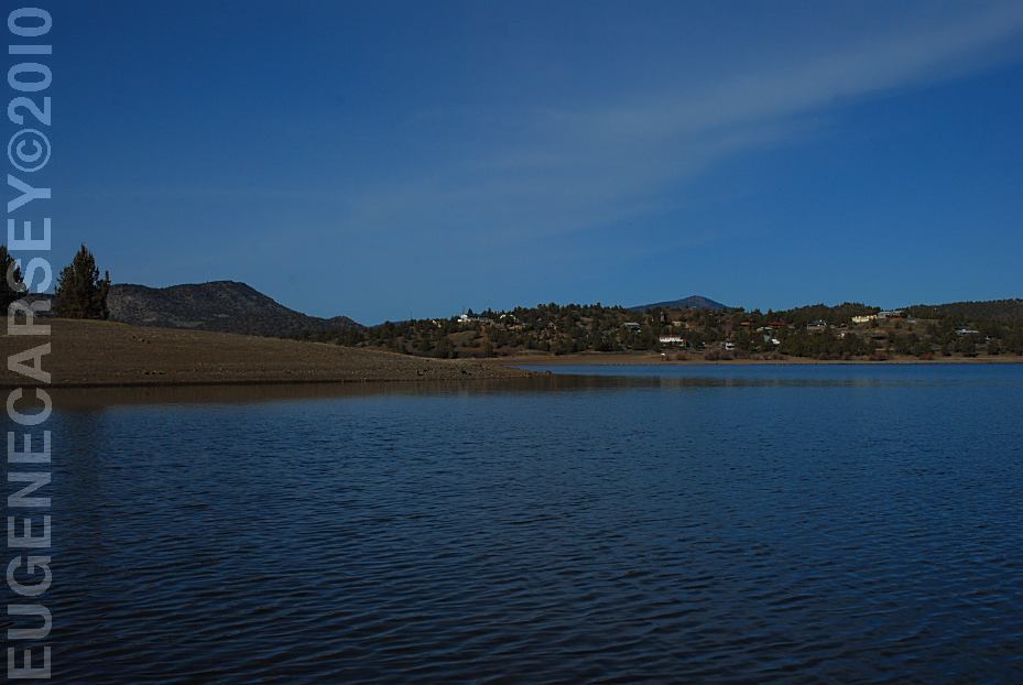
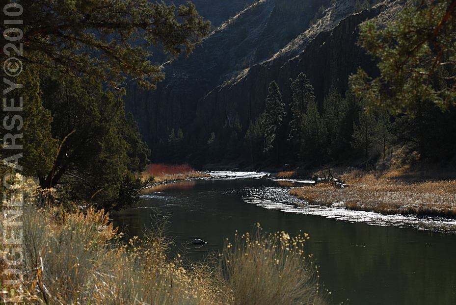
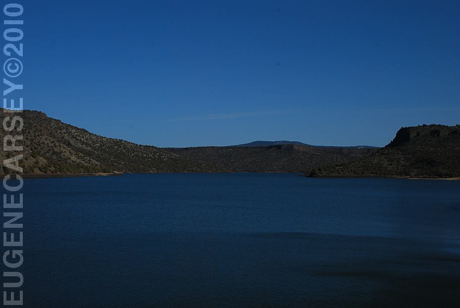
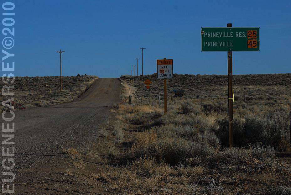
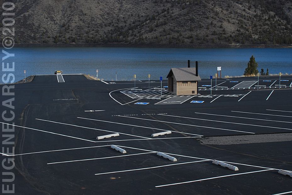
Prineville Reservoir
Viewed from Roberts Bay East #1 Campground
LATITUDE: N 44°06.810
LONGITUDE: W 120°42.020
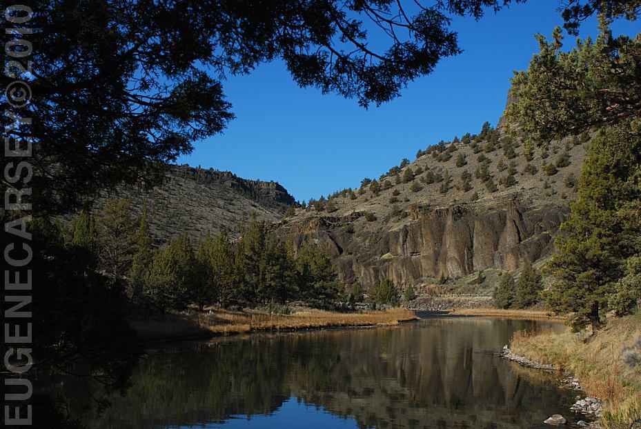
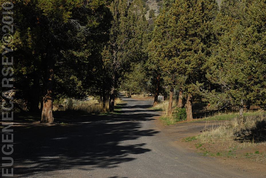
Salt Creek Road for 8 miles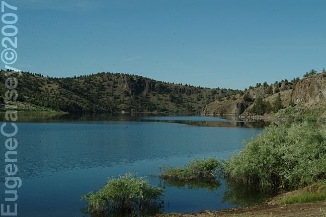
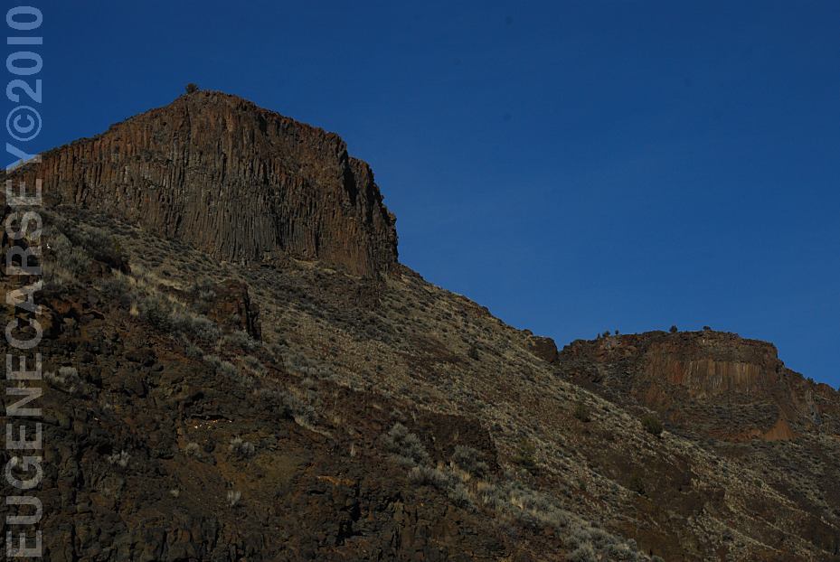
North Shore Road
View from Cattle Guard Campground
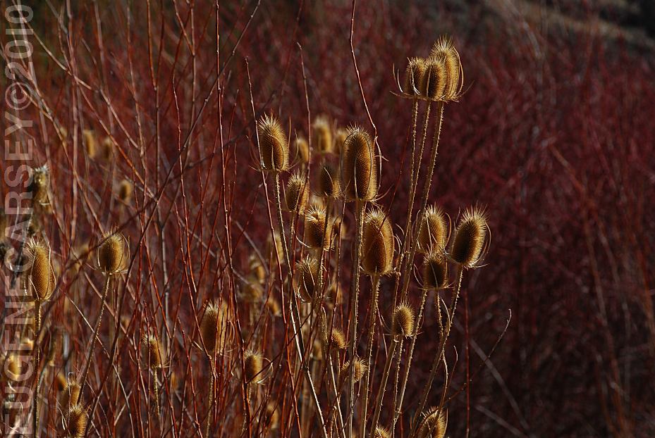
Free campgrounds along the
North Shore of Prineville Reservoir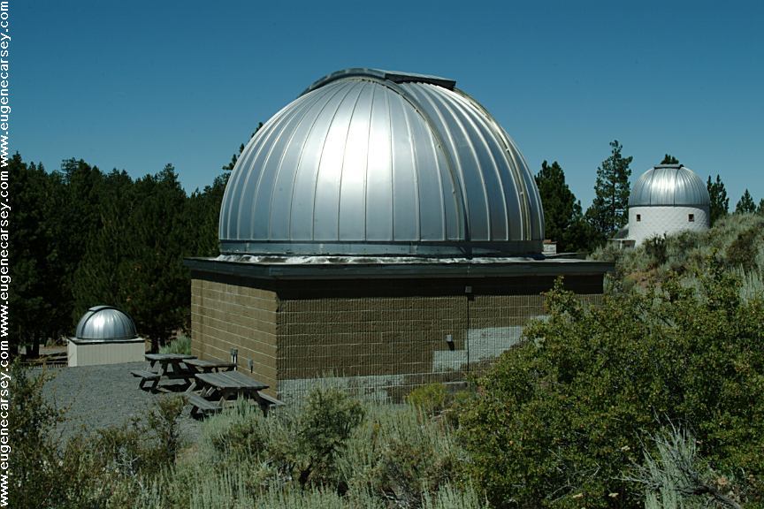
Pine Mountain Observatory
Listed under Free Campgrounds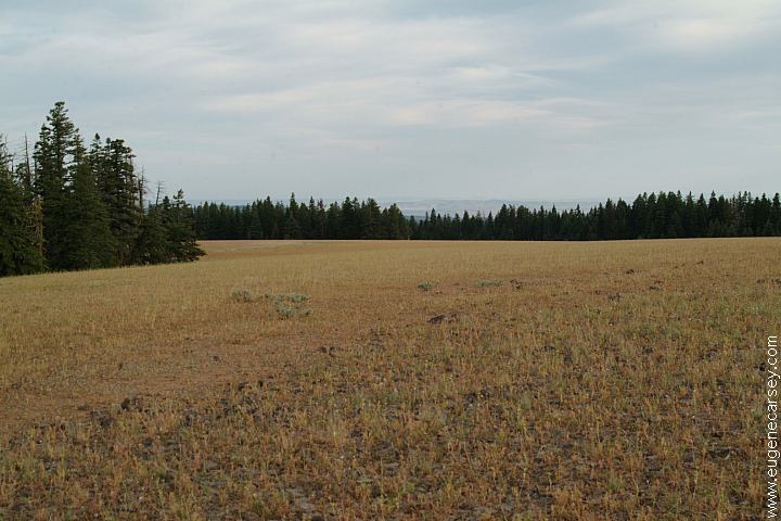
Broadway Lava Field
Ochoco National Forest...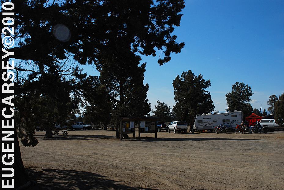
Millican Valley OHV
Four Corners Staging Area
LATITUDE: N 44°03.777
LONGITUDE: W 120°54.545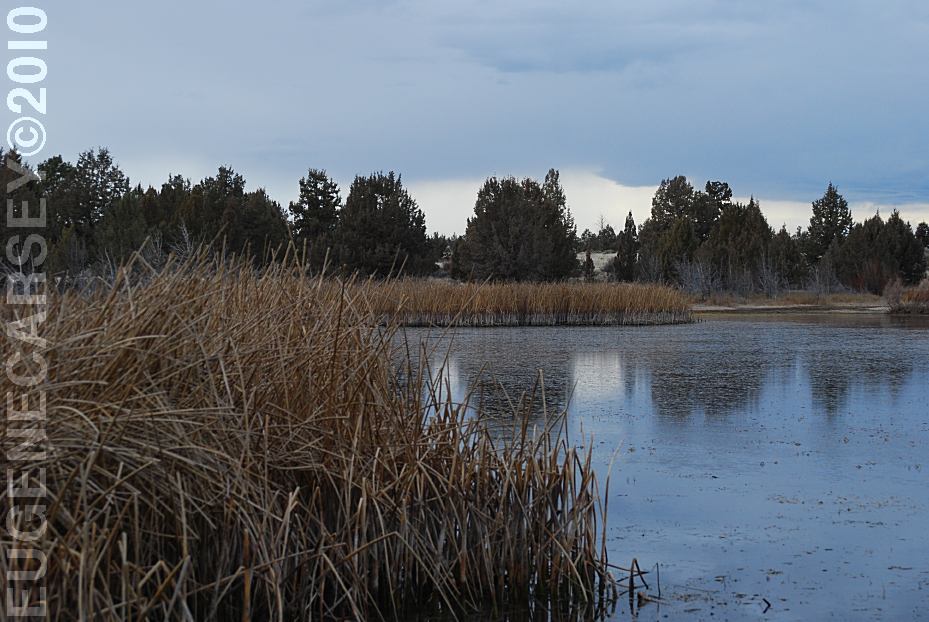
Mayfield Pond
LATITUDE: N 44°04.980
LONGITUDE: W 121°07.830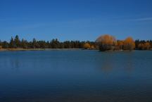
Reynolds Pond
LATITUDE: N 44°03.540
LONGITUDE: W 121°00.895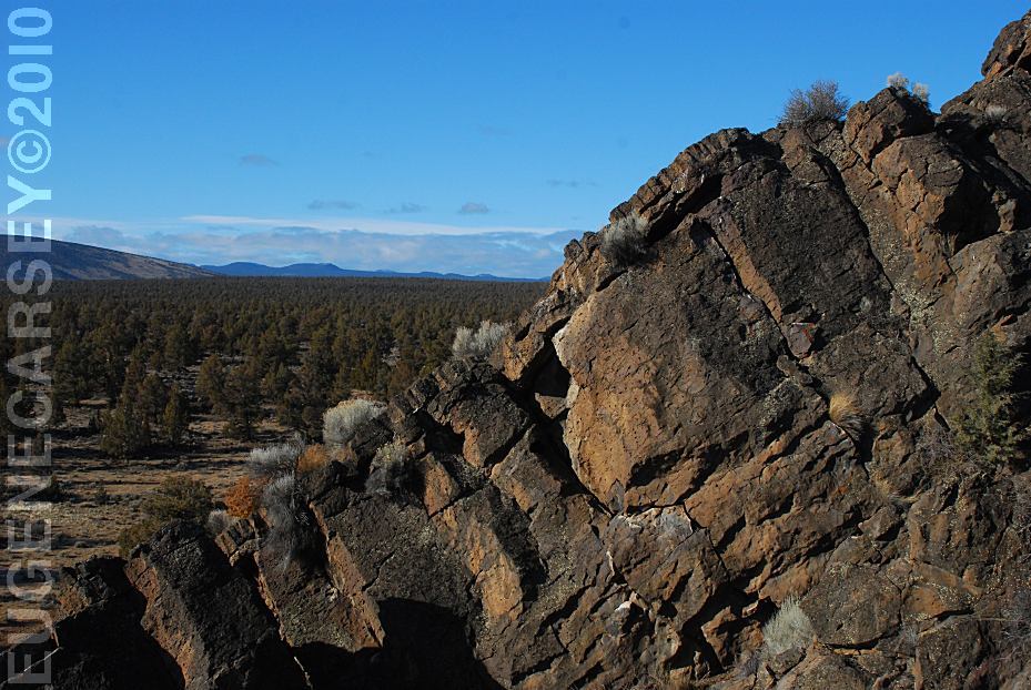
Badlands Rock
LATITUDE: N 43°59.489
LONGITUDE: W 121°01.648
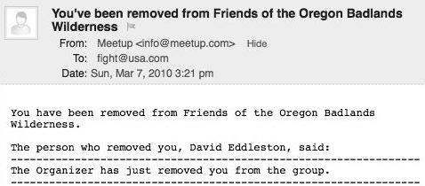
We were kicked out of the Friends of the Oregon Badlands
group by the organizer David Eddleston. We have never
met David Eddleston and there was no explanation offered.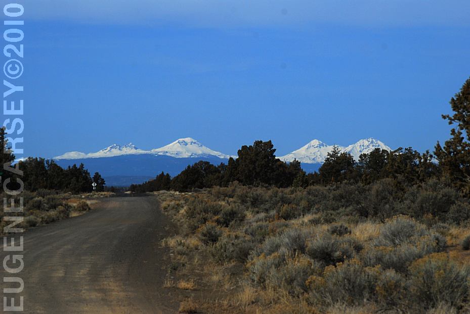
Mountain views from Willard Road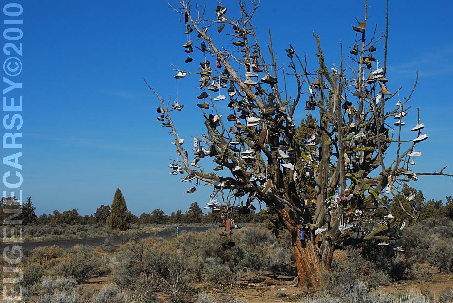
Tree covered with shoes on SW Reservoir Road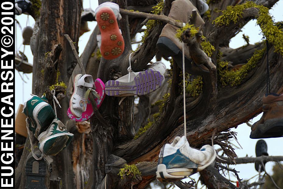
Tree covered with shoes on SW Reservoir Road
LATITUDE: N 44°04.484
LONGITUDE: W 120°56.963
SW Reservoir Road / MP 10
3 1/2 miles past Alfalfa Store
Near Willard Road and Alfalfa Curves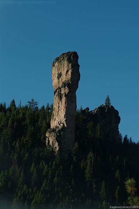
Steins Pillar near Prineville, OR
Also see: HAYSTACK
RESERVOIR
Also see: NEWBERRY CRATER and MONUMENT
Also see: NORTH
SHORE ROAD
Also see: OCHOCO
NF / COTTONWOOD
Also see: OCHOCO
NF / ROAD#16
Also see: OCHOCO
NF / ROAD#27
Also see: PINE MOUNTAIN OBSERVATORY
Also see: PRINEVILLE
/ NORTH SHORE
Also see: PRINEVILLE
/ SALT CREEK
Also see: STEENS
MOUNTAIN
Also see: THOMPSON
RESERVOIR
Also see: WICKIUP
RESERVOIR / ROAD#090
Also see: WICKIUP
RESERVOIR / ROAD#4260
Also see: WICKIUP
RESERVOIR / ROAD#4280
Also see: WICKIUP
RESERVOIR / ROAD#4370
Also see: WICKIUP
RESERVOIR / ROAD#44
Google Custom Map by Ian
Google custom map by Ian with most of the
free campgrounds in Oregon.
Camping is permitted at all the trailheads
and staging areas, as well as any existing
dispersed camps.
CAMP
II TRAILHEAD
ROAD
25 STAGING AREA
CHINA
HAT CAMPGROUND
ROAD
2510 STAGING AREA
SOUTH
LAVA TRAILHEAD
SAND
SPRINGS CAMPGROUND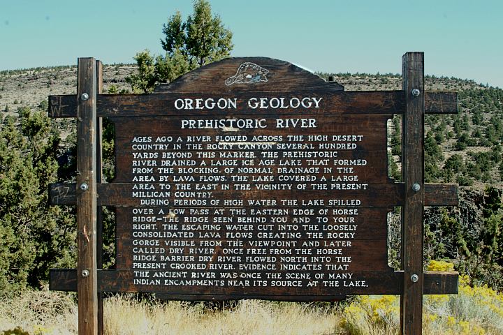
Geology Information Sign
Hwy.20 at Milepost#20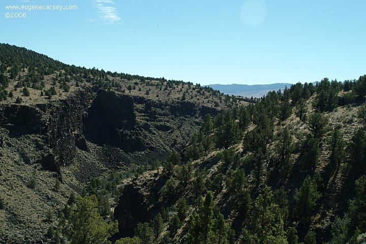
Viewpoint of Prehistoric River
Hwy.20 at Milepost#20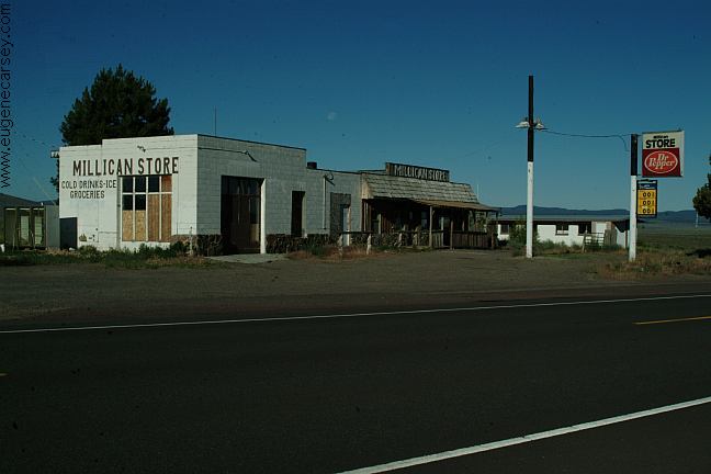
Millican
We have bought gas here in the past,
now is Millican is becoming a Ghost Town.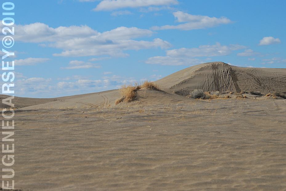
Christmas Valley Sand Dunes
LATITUDE: N 43°21.184
LONGITUDE: W 120°23.160
Elevation: 4300'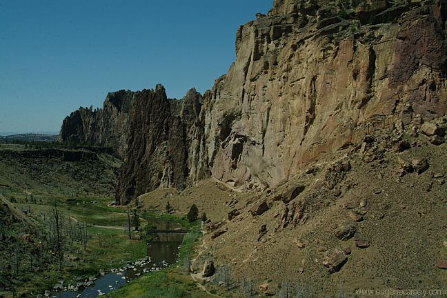
Smith Rock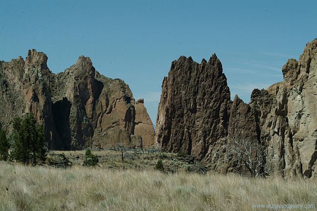
Smith Rock
Famous for rock climbing...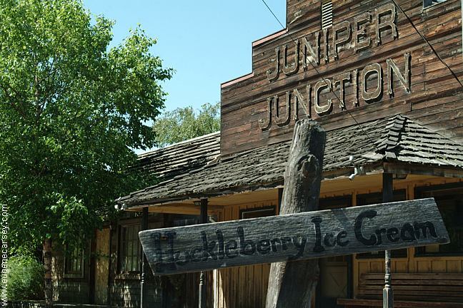
Juniper Junction
it's Huckleberry Ice Cream is no longer in business.
Located on Crooked River Drive just before
Smith Rock State Park.
Peter Skene Ogden Wayside / Rest Area
Between Redmond and Madras, OR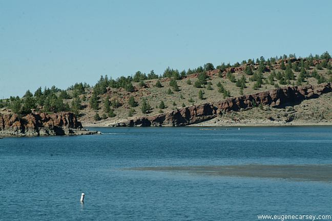
Haystack Reservoir
the boat races in the summer.
LATITUDE: 44°29.620
LONGITUDE: 121°09.603
(GPS From West Shore C.G.)
Haystack Reservoir free campgrounds
have been closed...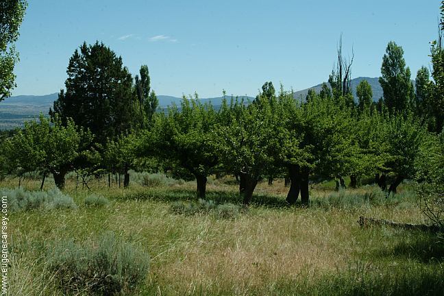
Julius and Sarah McCoin Orchard
Raod#5710
There was an old homestead, need to search
around, check old photos, ect.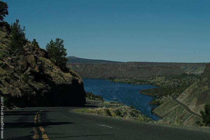
Lake Billy Chinook
There are some more primitive camp areas
and spectacular photos near and around
Lake Billy Chinook.
The Cove Palisades State Park has several
established campgrounds...views and scenery
will distort reality.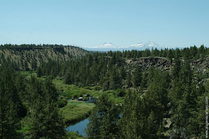
Lower Bridge Road
Complete free campground listing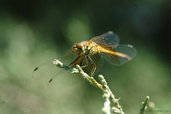
Dragon Fly at Smith Rock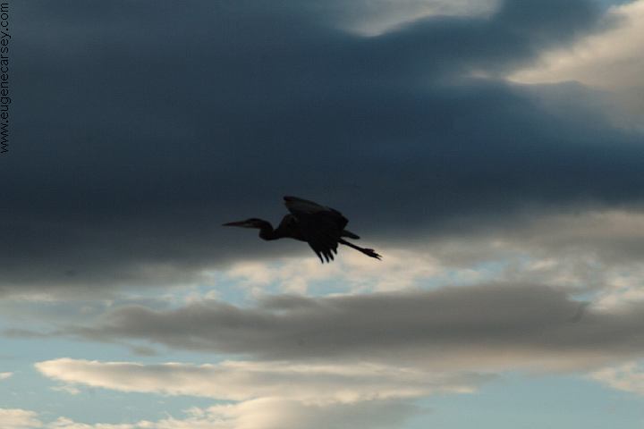
Prehistoric looking bird sounded like
something from the dinosaur era.
(Haystack Reservoir South Shore Campground)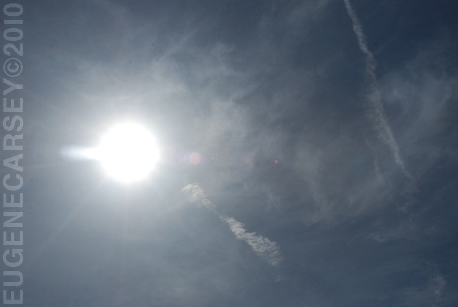
Funny Clouds...
March 2010

www.eugenecarsey.com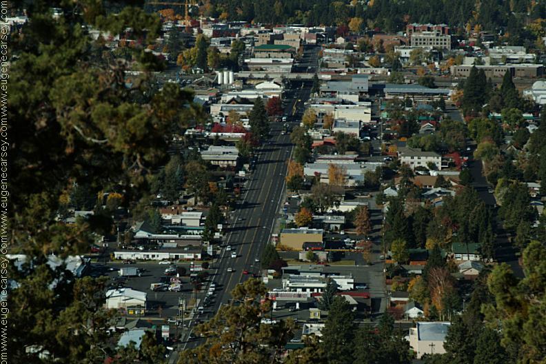
Bend, OR
Camped here March 17, 2010
Free campgrounds and camping
OREGON CAMPGROUND DIRECTORY
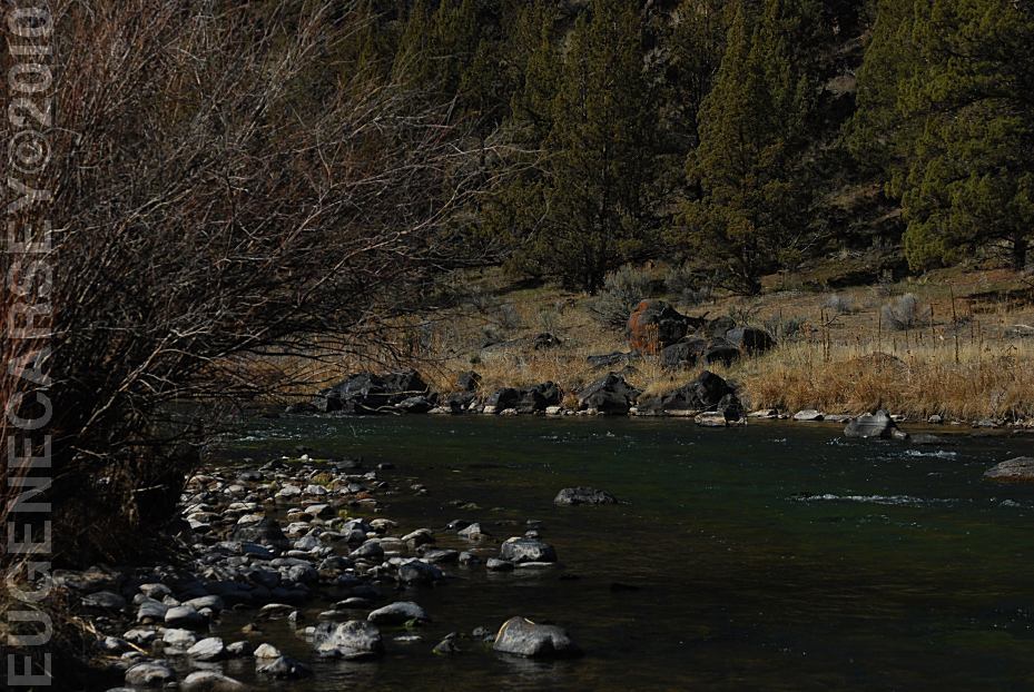
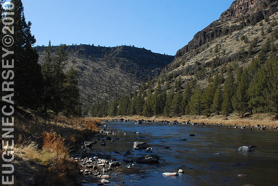
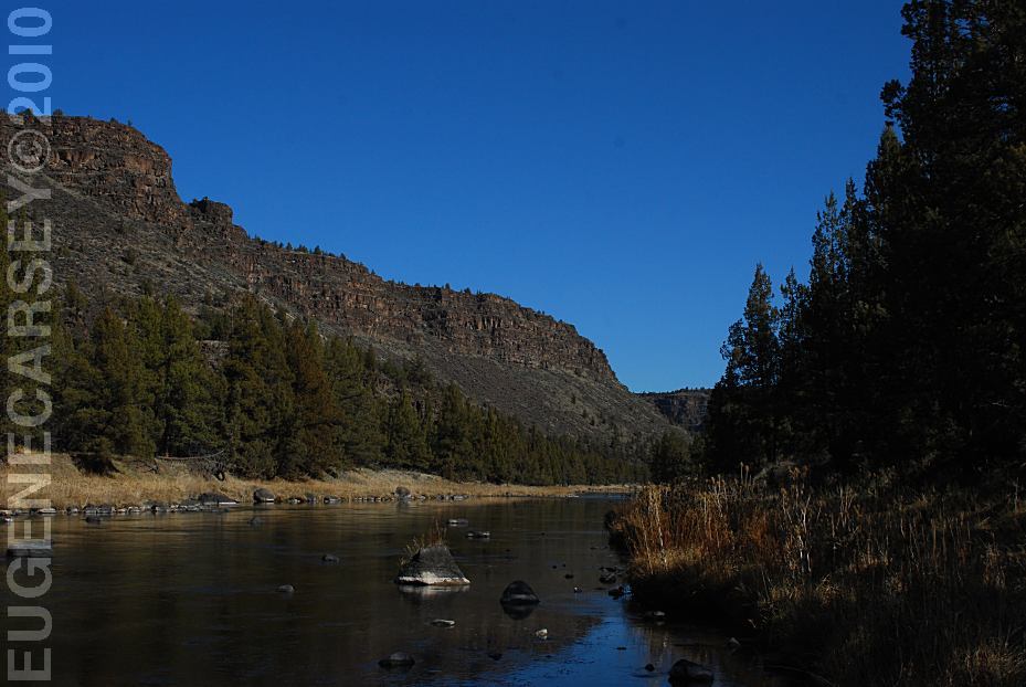
LOWER CROOKED RIVER SCENIC AREA