|
|


|
Free camping and campgrounds.
|
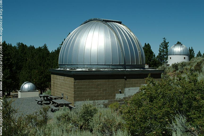
Pine Mountain Campground is across from Picnic tables, metal firerings, outhouse. Open fires are regulated by danger levels The observatory consists of three Cassegrain
reflecting Donations are suggested. Groups of more than 8 people are asked to call UNIVERSITY OF OREGON LINKS: NOTE: DISPERSED CAMPSITES: Dispersed Campsite on Road#xx If you continue on Road#2017 past the
Pine Mountain Observatory. It is worth to
camp here and check out the observatory.
Friday and Saturday nights starting at 9pm
the observatory is open to public viewing.
If you have never looked at the sky with
a telescope, it is amazing.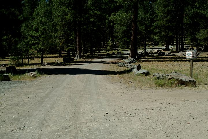
Pine Mountain Campground
Pine Mountain Campground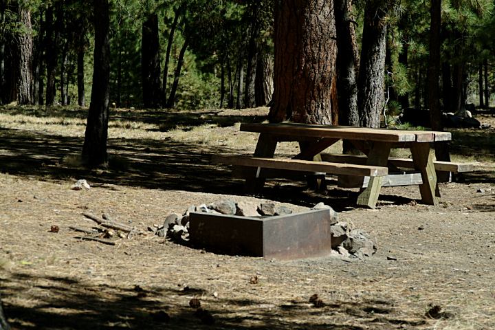
Pine Mountain Campground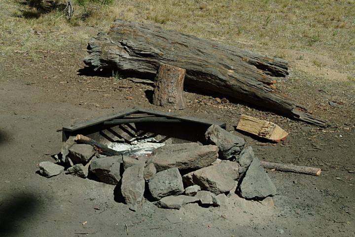
Pine Mountain Campground
There is no garbage service or water.
set by the Forest Service
telescopes, with mirrors of 15", 24", and 32" diameters,
each in its own domed building. Digital cameras are
mounted to the 24" and 31" instruments. There is a
high speed (T1) Internet server on site.
$5.00 per person
and make reservations. 541-382-8331
PINE MOUNTAIN OBSERVATORY
Information 541-382-8331
pmo-sun.uoregon.edu
Public viewing Friday and Saturday
Memorial Day and lasting through the summer.
Beginning at 9:00pm
http://pmo-sun.uoregon.edu/
Pine Mountain Observatory Home Page
At night only use parking lights on vehicles.
Avoid using any lights around the observatory.
Flashlights should be covered with a red filter.
Bright lights aimed carelessly around the observatory
can ruin a nights research. The instruments used in
astronomical research are incredibly sensitive and are
easily overexposed by bright lights.
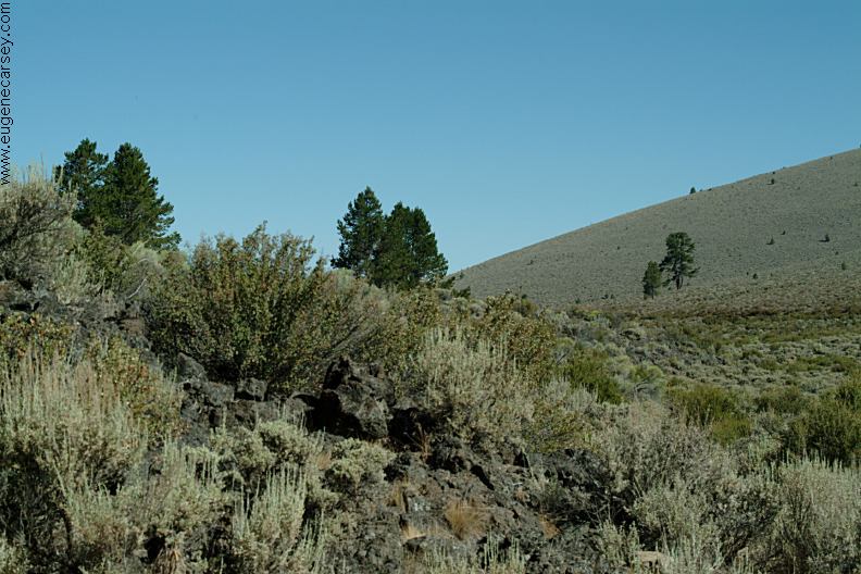
There are some nice dispersed campsites
on Pine Mountain that can be accessed
from Road#2017.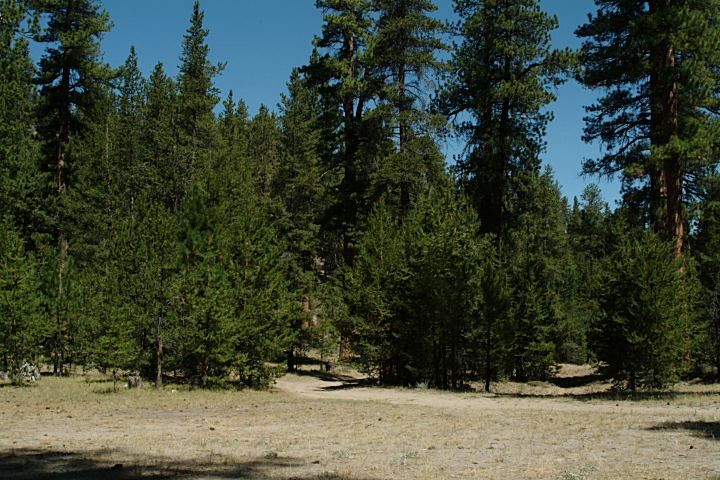
Dispersed Campsite on Road#xx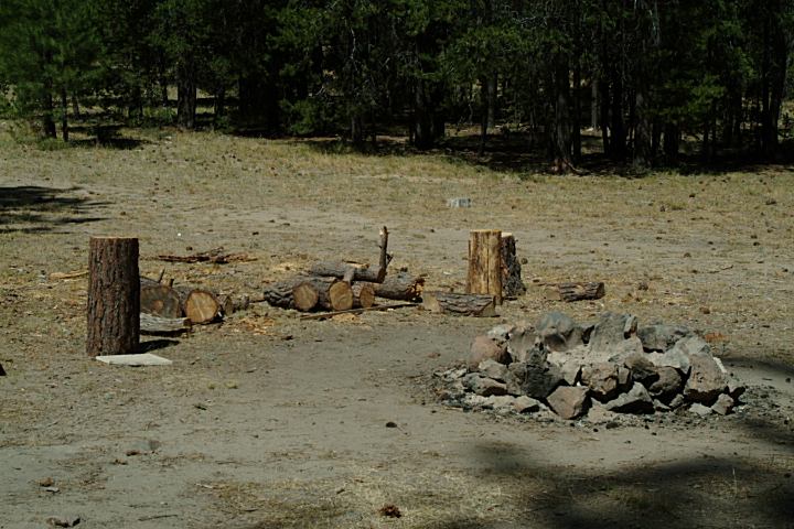
Dispersed Campsite on Road#xx
About 2 miles before Pine Mountain Observatory
LATITUDE: N 43°48.218
LONGITUDE: W 120°55.885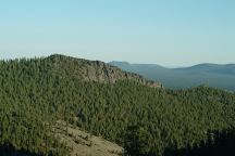
Views east from Pine Mountain Observatory
Observatory, there are some primitive
camp areas. The road gets rougher and
narrow this direction.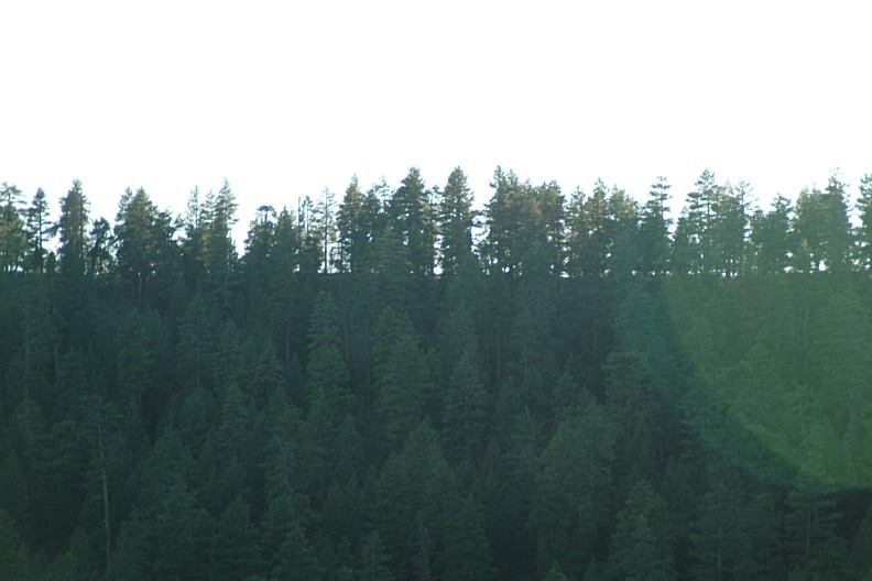
Trees east from Pine Mountain Observatory
DIRECTIONS: ROAD CONDITIONS: DISTANCE CHART: Bend 30 miles DISTANCE CHART: US Hwy.20 8 miles EAST FORT ROCK OHV TRAIL SYSTEM SALT
CREEK ROAD CHRISTMAS
VALLEY SAND DUNES GREEN
MOUNTAIN CAMPGROUND MAYFIELD
POND RECREATION AREA MILLICAN
VALLEY OHV AREA Also see: ALVORD DESERT / MANN LAKE OREGON FREE CAMPGROUND MAP FORT ROCK CEMETERY SHELDON NATIONAL WILDLIFE REFUGE FOSSIL LAKE CAMPGROUND INDEX Camped here August 7, 2007 dispersedcampgrounds.com
Highway 20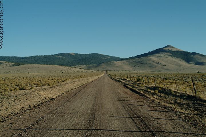
Pine Mountain Road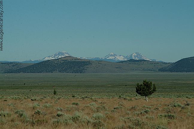
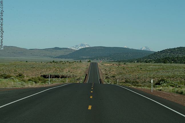
Mountain views from Pine Mountain Road
From Bend
Take Hwy.20 east to Millican
Turn south on Pine Mountain Road
Pine Mountain Campground is 8 miles
(FS Boundary is 3 1/2 mile then becomes Road#2017)
Road#2017 is a cinder road with washboards
Mountain grades and curves...
Not recommended for RVs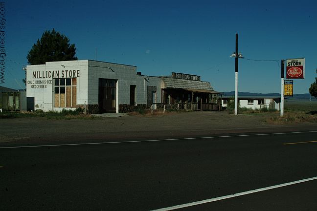
Millican
We have bought gas here in the past,
now is Millican is becoming a Ghost Town.
From Hwy.20 at Millican
Brothers
16 miles
From Pine Mountain Observatory / Campground
Bend
34 miles
East Fort Rock Trail System
Pine Mountain in the background
West from Pine Mountain Observatory.
Camping is permitted at all the trailheads
and staging areas, as well as any existing
dispersed camps.
CAMP
II TRAILHEAD
ROAD
25 STAGING AREA
CHINA
HAT CAMPGROUND
ROAD
2510 STAGING AREA
SOUTH
LAVA TRAILHEAD
SAND
SPRINGS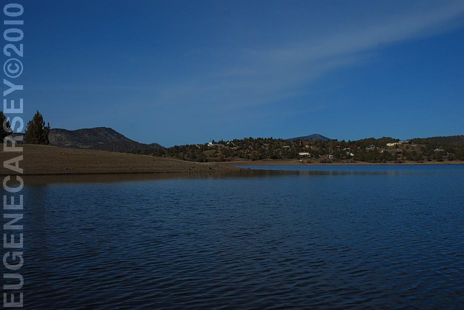
Prineville Reservoir
Viewed from Roberts Bay East Campground
LATITUDE: N 44°07.220
LONGITUDE: W 120°42.130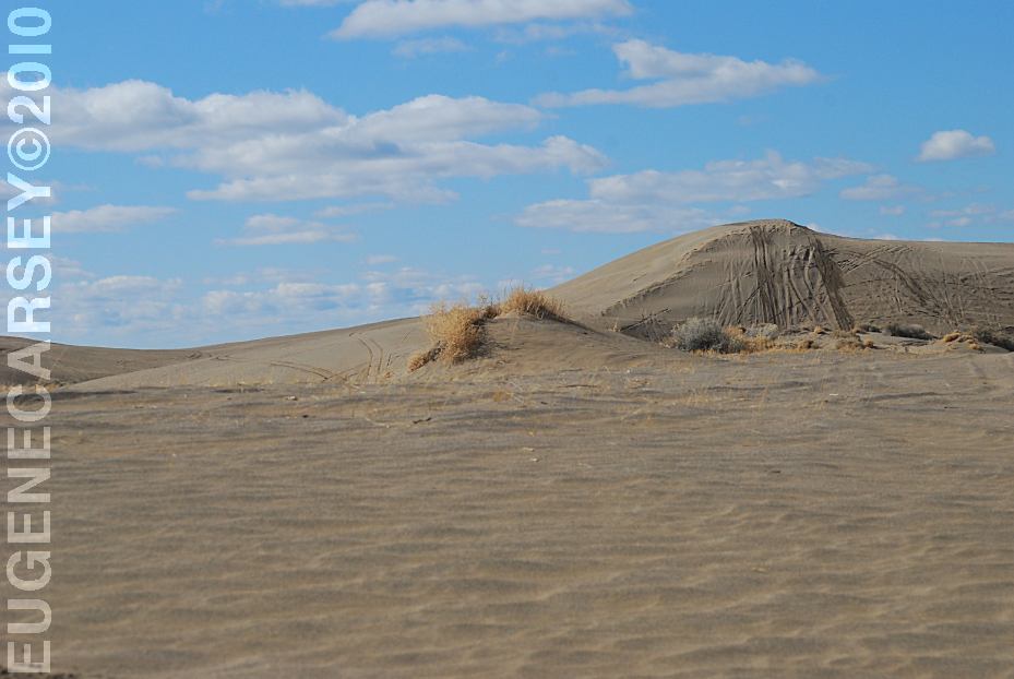
Christmas Valley Sand Dunes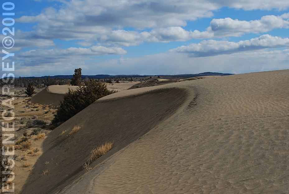
Christmas Valley Sand Dunes
LATITUDE: N 43°21.184
LONGITUDE: W 120°23.160
Elevation: 4300'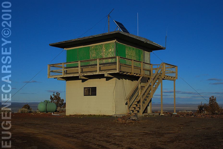
Green Mountain Lookout
LATITUDE: N 43°23.160
LONGITUDE: W 120°43.370
Elevation: 5160'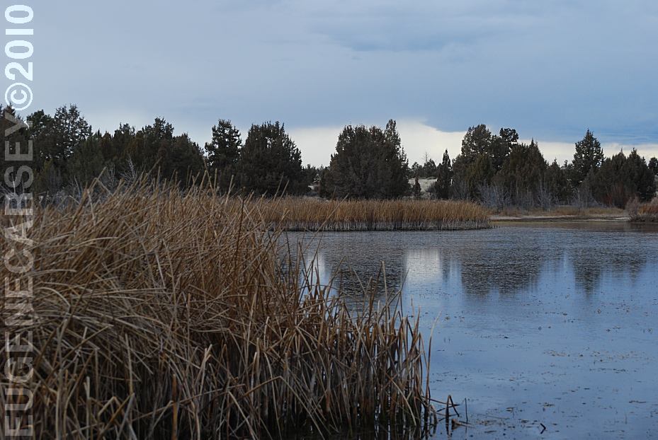
Mayfield Pond
LATITUDE: N 44°04.980
LONGITUDE: W 121°07.830
Elevation: 3290'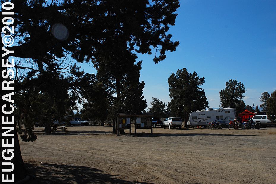
Millican Valley OHV
Four Corners Staging Area
LATITUDE: N 44°03.777
LONGITUDE: W 120°54.545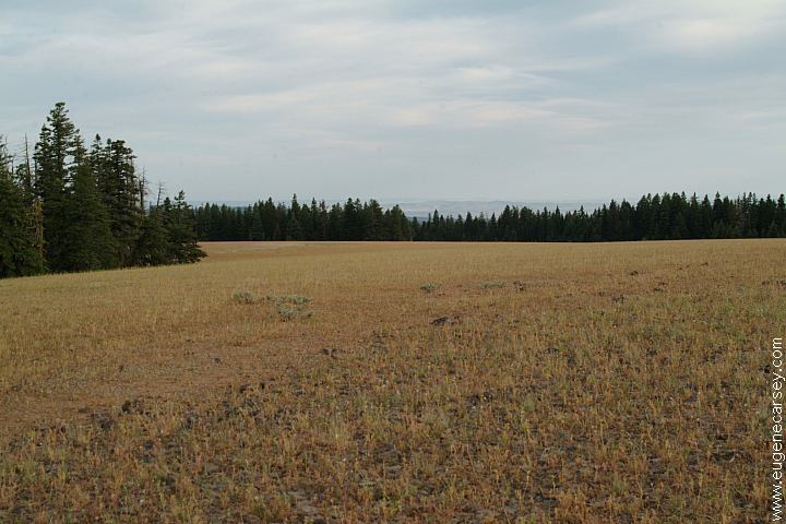
Broadway Lava Field
Also see: BROADWAY
LAVA FIELD
Also see: CHRISTMAS VALLEY
Also see: NEWBERRY CRATER and MONUMENT
Also see: NORTH
SHORE ROAD
Also see: OCHOCO
NF / ROAD#16
Also see: OCHOCO
NF / ROAD#27
Also see: PRINEVILLE
/ NORTH SHORE
Also see: PRINEVILLE / SALT
CREEK
Also see: STEENS
MOUNTAIN
Also see: WICKIUP
RESERVOIR / ROAD#090
Also see: WICKIUP
RESERVOIR / ROAD#4260
Also see: WICKIUP
RESERVOIR / ROAD#4280
Also see: WICKIUP
RESERVOIR / ROAD#4370
Also see: WICKIUP
RESERVOIR / ROAD#44
Google Custom Map by Ian
Google custom map by Ian with most of the
free campgrounds in Oregon.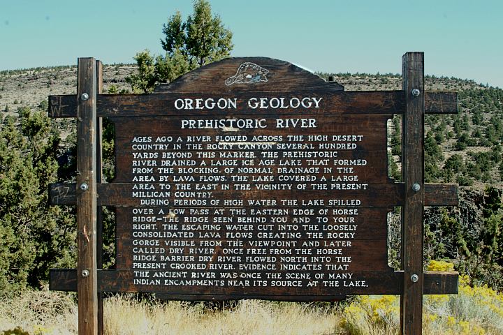
Geology Information Sign
Hwy.20 at Milepost#20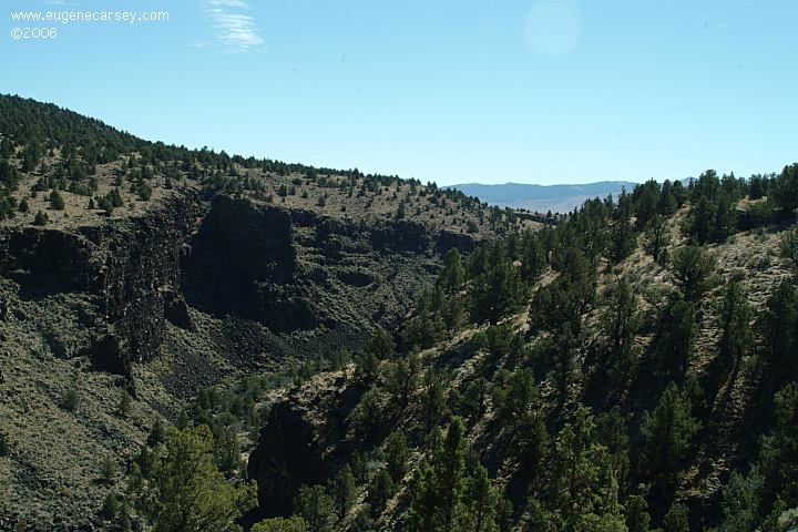
Viewpoint of Prehistoric River
Hwy.20 at Milepost#20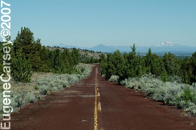
Old Highway 20
Accessed from Hwy.20 at Milepost#21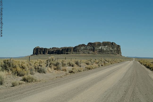
Fort Rock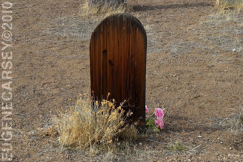
Historic Fort Rock Cemetery
LATITUDE: N 43°22.245
LONGITUDE: W 121°03.828
There was a grave marker that said
Killed By Sheriffs Pose 1913, but it
has disappeared???
Badlands Rock
LATITUDE: N 43°59.489
LONGITUDE: W 121°01.648
We were kicked out of the Friends of the Oregon Badlands
group by the organizer David Eddleston. We have never
met David Eddleston and don't know for what reason.
Bend, OR
Located in Nevada on Highway 140
South from Lakeview, OR
Badger
Bateman Spring
Big
Spring Reservoir
Catnip
Reservoir
Devaney
East Rock Spring
Fish
Spring
Gooch Spring
Little Catnip Spring
North Hell Creek
Virgin
Valley
West
Rock Spring
Wheeler Spring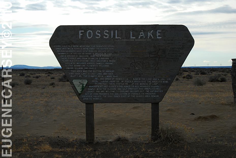
Sign at Fossil Lake
LATITUDE: N 43°19.977
LONGITUDE: W 120°28.780
ELEVATION: 4289'
(GPS from sign at end of Five Acre Road)
When we were kids would visit Fossil Lake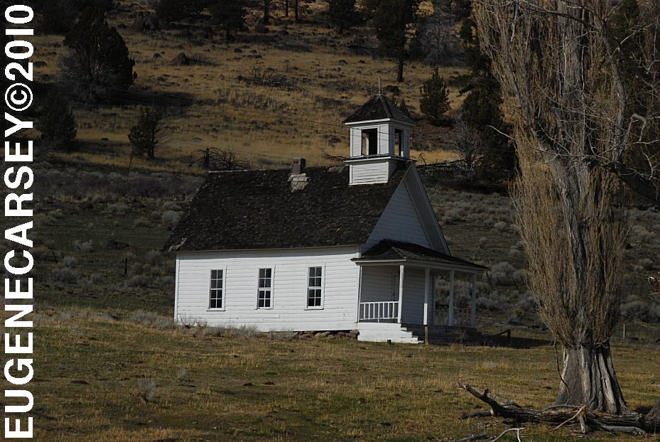
Harris Schoolhouse
South from Summer Lake, OR
Highway 31 near MP 74
Big Horn Painting at Scenic Byway Kiosk
Highway 31 near MP 70
Across from Summer Lake Store
Chemtrails of the USA
What are all those funny clouds in the sky...
Every day from morning to night, continuous
aerial spraying.
Complete free campground listing
Free campgrounds and camping
OREGON CAMPGROUND DIRECTORY
PINE MOUNTAIN CAMPGROUND
PINE MOUNTAIN OBSERVATORY