|
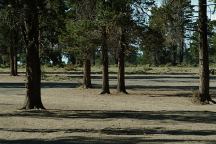
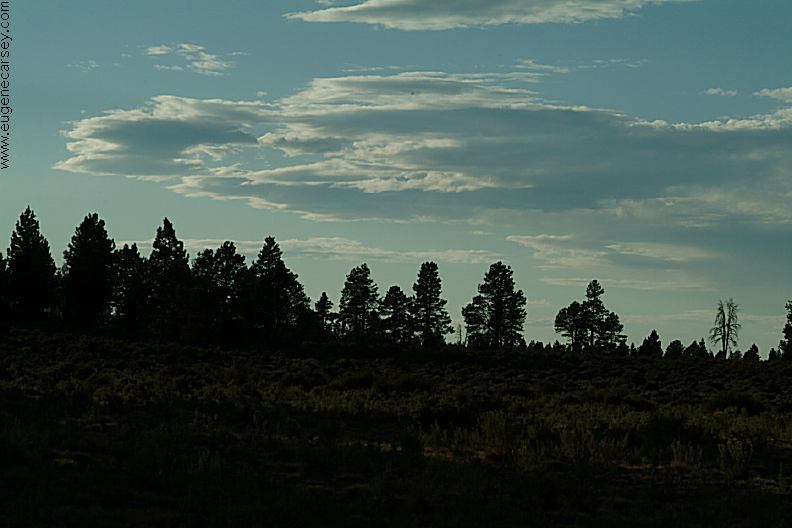
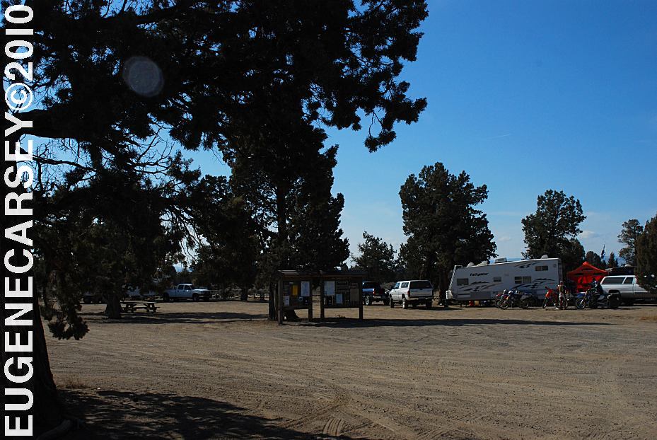
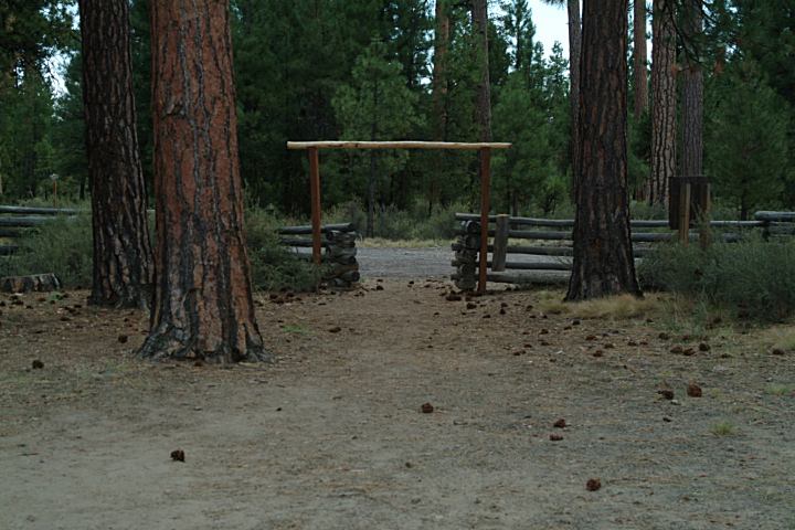
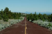
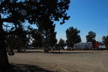
Camp at Road#2510 Staging Area
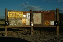
Information Board at Road#2510 Staging Area
Map board, primitive firerings and outhouse.
Nice area and scenery...
No photos at the present time.
From Road#25 turn on Rd#2510
Staging Area and camp is 1/2 mile
Campfires permitted...
No garbage service.
Pack It In, Pack It Out
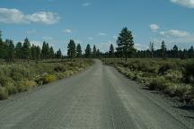
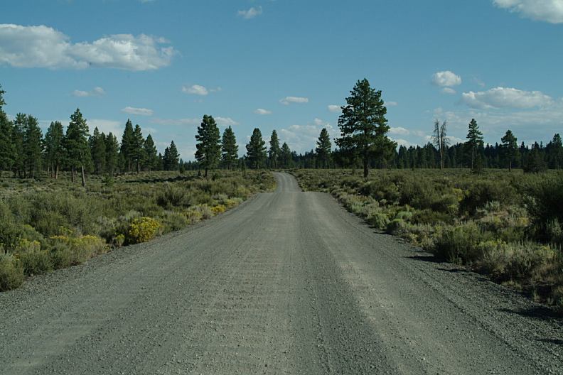
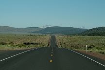
Road#2510
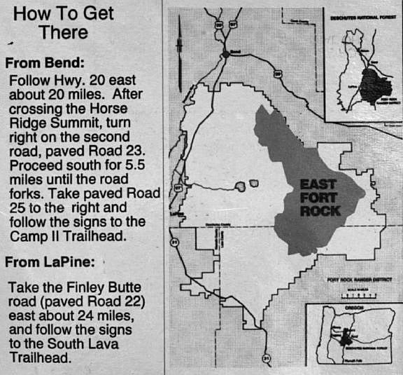
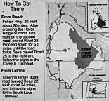
DIRECTIONS:
From Bend, OR via Hwy.20
Hwy. 20 east for 21.5 miles
Turn on Road#25
Campground is a couple miles
From Bend, OR via Hwy.97
Take Hwy.97 south from Bend
Turn east on China Hat Road / Rd#18
About 25 miles turn left on Road#25
Campground is a couple miles...
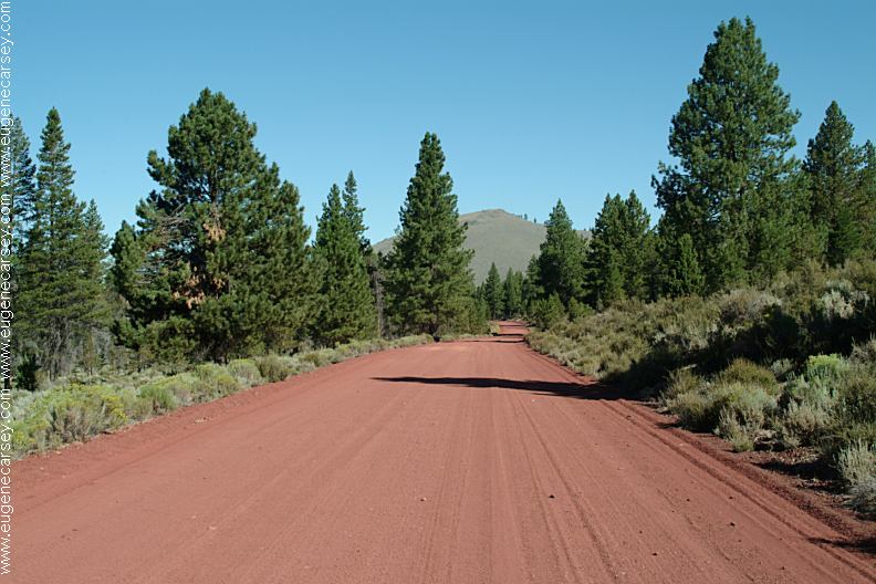
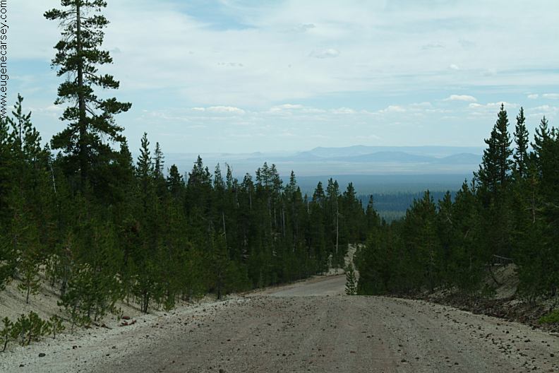
ROAD CONDITIONS:
Road#25 is paved surface
Other roads are dirt surfaces with washboards.
EAST FORT ROCK OHV TRAIL SYSTEM:
Camping is permitted at all the trailheads
and staging areas, as well as any existing
dispersed camps.
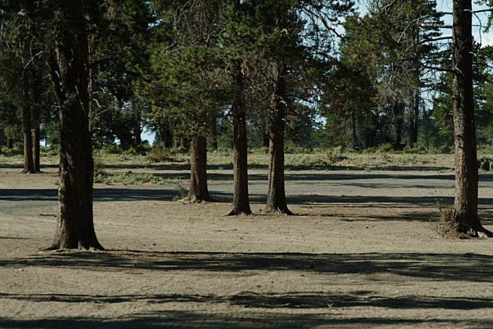
CAMP II TRAILHEAD
ROAD 25 STAGING AREA
CHINA HAT CAMPGROUND
ROAD 2510 STAGING
AREA
SOUTH LAVA
TRAILHEAD
SAND SPRINGS CAMPGROUND
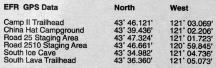
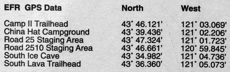
GPS Data from Information Board
Map from Information Board
MAP (PDF File)
This is the 2005 Forest Service OHV Map
for East Fort Rock OHV Trail System.
Much more details than above map.
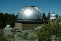
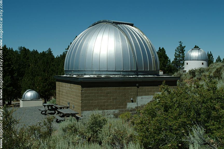
Pine Mountain Observatory
PINE MOUNTAIN OBSERVATORY
Pine Mountain Observatory can be accessed
from Highway 20 near Millican.

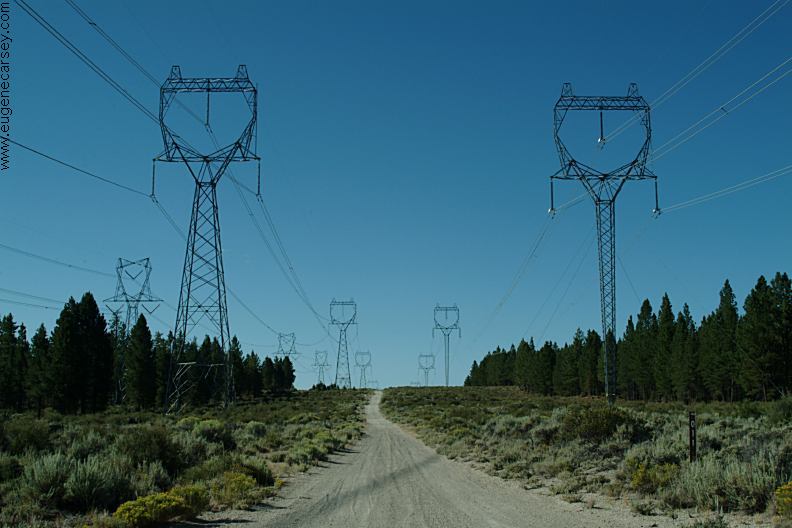
Road#23 north of Sand Springs
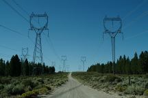
Power lines across Road#23
WILDLIFE:
Lots of deer...
IT IS YOUR RESPONSIBILITY TO
KNOW
WHAT FIRE RESTRICTIONS ARE IN EFFECT
Axe, shovel, and 5 gallons of water required.
Leather Gloves and Fire Extinguisher Recommended

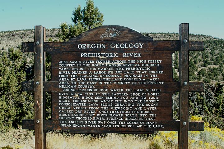
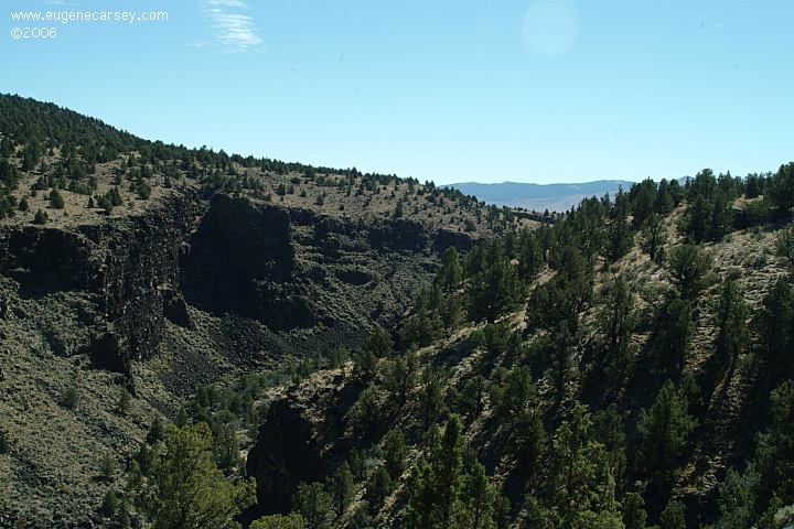
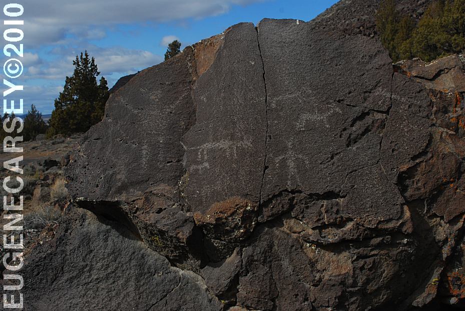
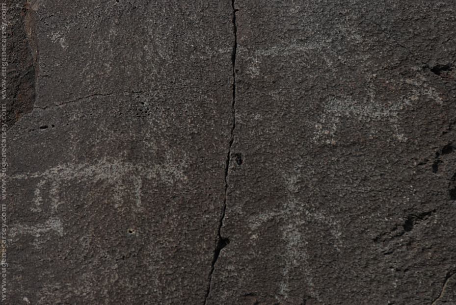
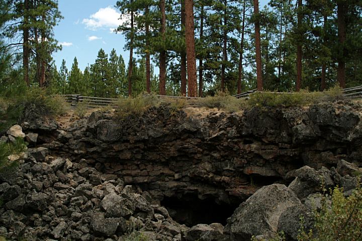
Geology Information Sign
Hwy.20 at Milepost#20
Viewpoint of Prehistoric River
Hwy.20 at Milepost#20
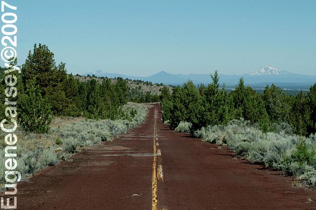
Old Highway 20
Accessed from Hwy.20 at Milepost#21
Highway 20 at Millican
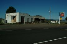
Millican
We have bought gas here in the past,
now is Millican is becoming a Ghost Town.
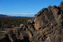
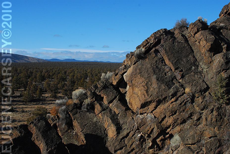
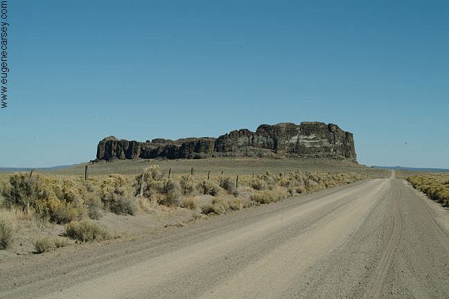
Badlands Rock
LATITUDE: N 43°59.489
LONGITUDE: W 121°01.648
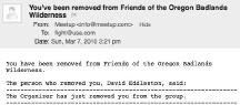
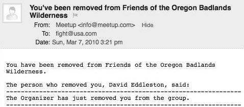
We were kicked out of the Friends of the Oregon Badlands
group by the organizer David Eddleston. We have never
met David Eddleston and there was no explanation offered.
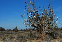
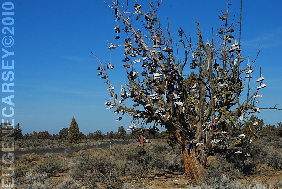
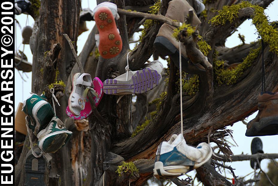
Tree covered with shoes on SW Reservoir Road

Tree covered with shoes on SW Reservoir Road
SHOE TREE
LATITUDE: N 44°04.484
LONGITUDE: W 120°56.963
SW Reservoir Road / MP 10
3 1/2 miles past Alfalfa Store
Near Willard Road and Alfalfa Curves
Millican Valley OHV
Four Corners Staging Area
MILLICAN
VALLEY OHV AREA
LATITUDE: N 44°03.777
LONGITUDE: W 120°54.545
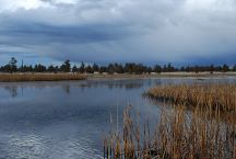
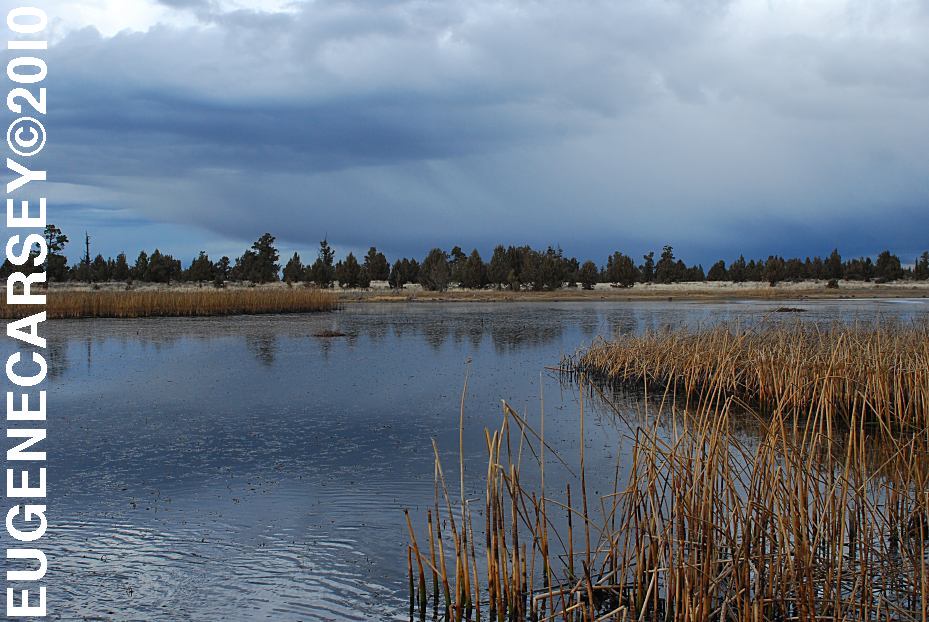
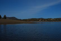
Mayfield Pond
MAYFIELD
POND RECREATION AREA
LATITUDE: N 44°04.980
LONGITUDE: W 121°07.830
Elevation: 3290'
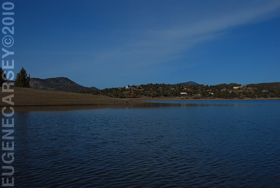
Prineville Reservoir
Viewed from Roberts Bay East #1 Campground
ROBERTS
BAY RECREATION AREA
LATITUDE: N 44°06.810
LONGITUDE: W 120°42.020
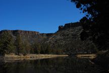
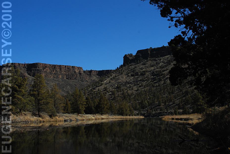
Crooked River
Viewed from Still Water Campground
LOWER
CROOKED RIVER
LATITUDE: N 44°09.755
LONGITUDE: W 120°49.833
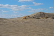
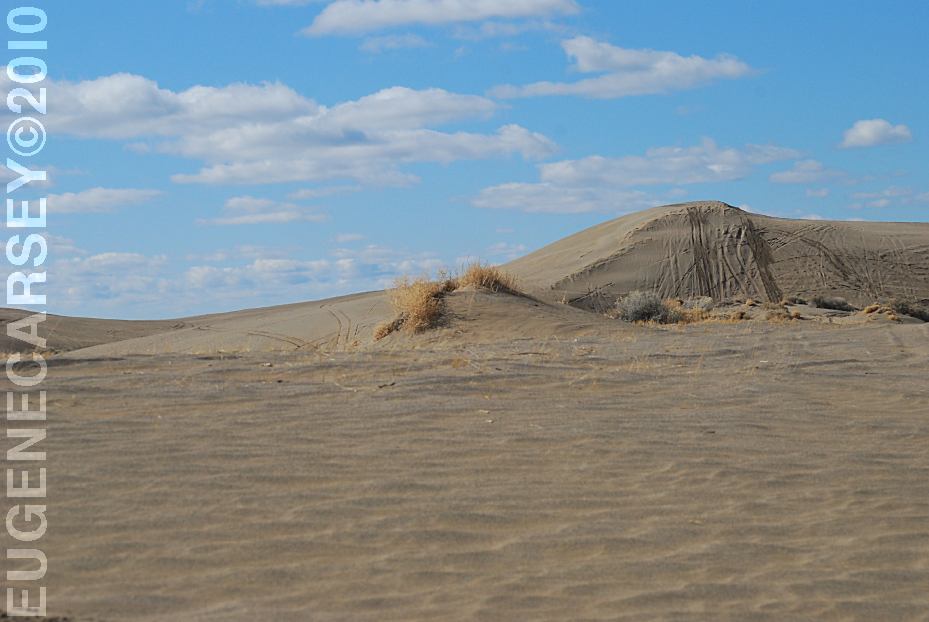
Christmas Valley Sand Dunes
CHRISTMAS
VALLEY SAND DUNES
LATITUDE: N 43°21.184
LONGITUDE: W 120°23.160
Elevation: 4300'
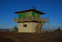
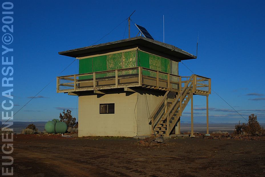
Green Mountain Lookout
GREEN
MOUNTAIN CAMPGROUND
LATITUDE: N 43°23.160
LONGITUDE: W 120°43.370
Elevation: 5160'
|