|
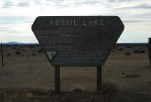
Sign at Fossil Lake
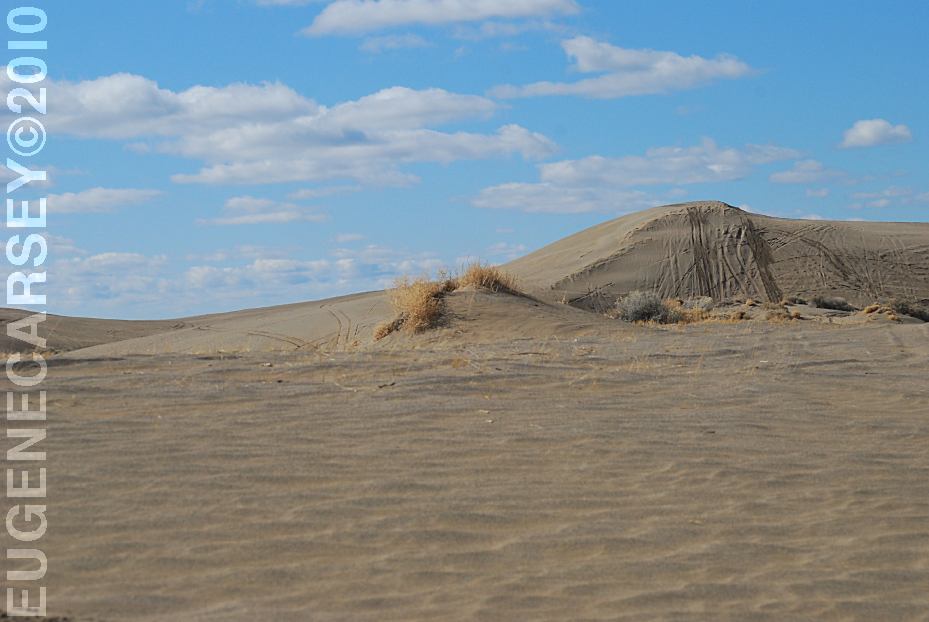
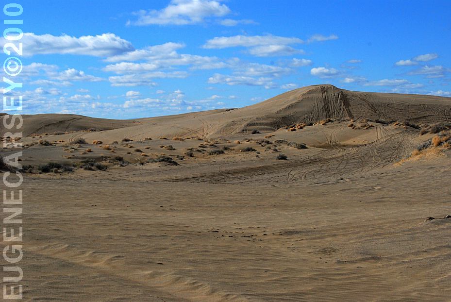
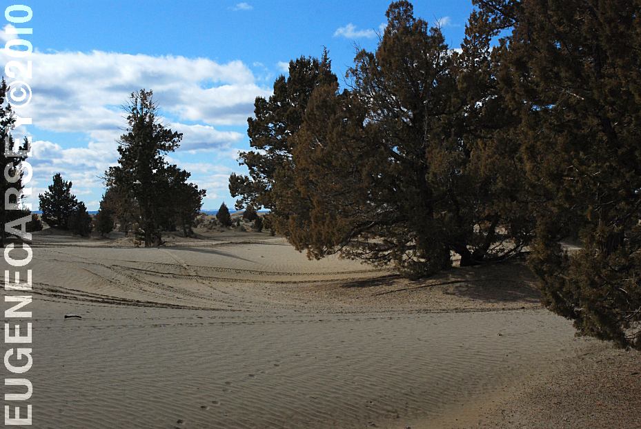
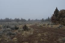
FOSSIL LAKE
LATITUDE: N 43°19.977
LONGITUDE: W 120°28.780
ELEVATION: 4289'
(GPS from sign at end of 5 Acre Road)
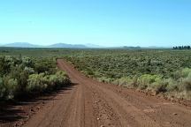
From Christmas Valley take Road 5-14
Take Fossil Lake Road 8 miles
Take Road 5-14E for 2 miles
Take 5 Acre Road for 1 1/4 mile
About 5 minute walk to Fossil Lake
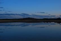
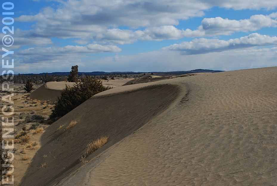
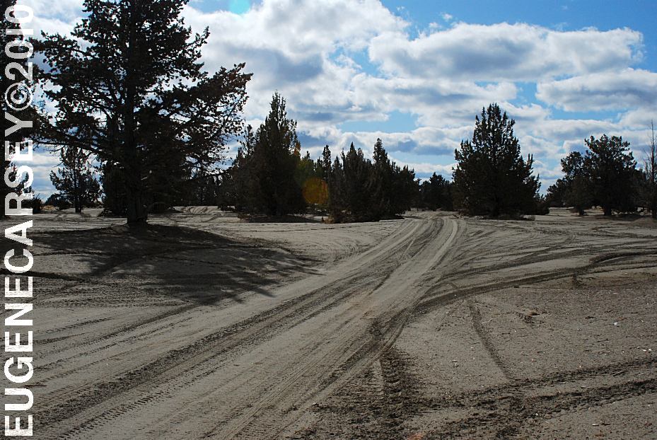
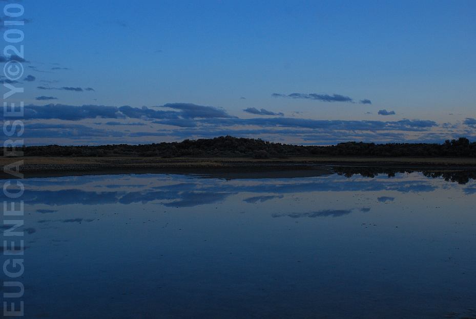
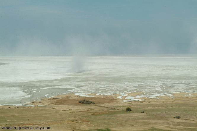
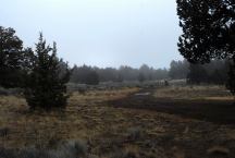
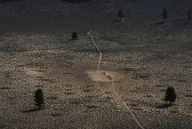
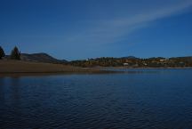
Fossil Lake
Normally this is a dry lake, but after heavy rains
there area areas of water. Photo taken at sunset,
just as the sun was disappearing over the horizon.
(This pool of water is only about 100' across, but
with proper camera angles it looks like a real lake)
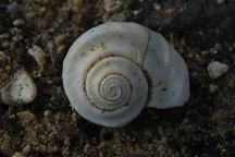
Fossil at Fossil Lake
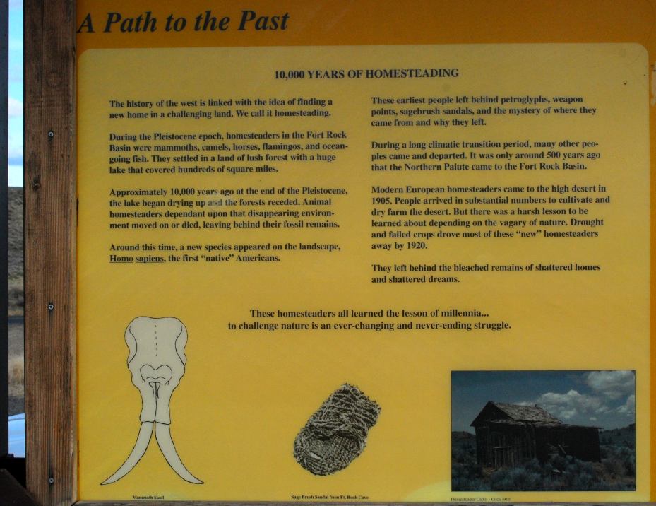
Fossil Lake has been important for scientific
study since 1877 when fossils were first collected
here. Paleontologists have identified 23 species of
mammals, 74 species of birds, 6 species of fish,
and 6 species of mollusk from their fossils. These
fossils are from 10,000 to 2,000,000 years old
(Pleistocene Era) creatures which lived here included
horses, camels, ground sloths, mammoths, flamingos,
pelicans, swans, salmon, and snails.
This area was the bottom of ancient Fort Rock Lake, a
vast lake 200 feet deep when the climate became more arid.
The lake dried up animals that swam in the lake and walked
the shores remain today as the fossils which gave the area
it's name.
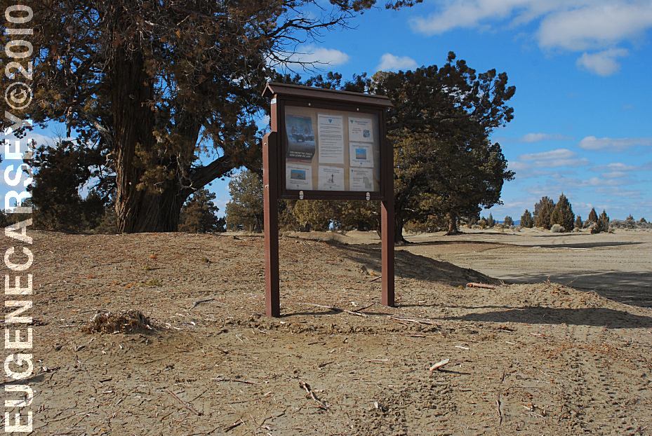
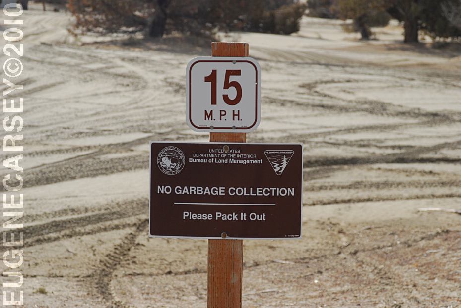
To protect these fragile remains the Bureau Of Land
Management has closed 6,540 acres to all vehicles.
Please comply with the closure and help protect this
irreplaceable legacy. You are welcome to explore on
foot, but the antiquities act of 1906 prohibits the
collection of fossils to preserve scientific values.
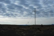
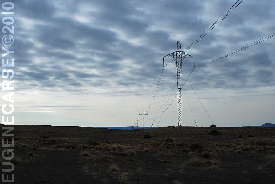
Power lines across Fossil Lake
It is getting more impossible to take nature
photos without power lines.
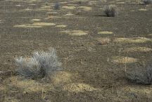
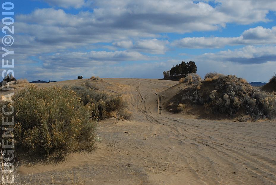
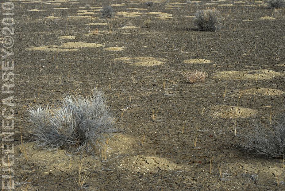
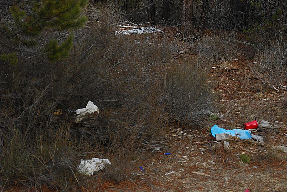
Are these piles from people sifting the soil for fossils?
You take a shovel full of soil and sift it through a screen.
These days it is illegal to collect fossils...
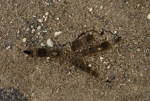
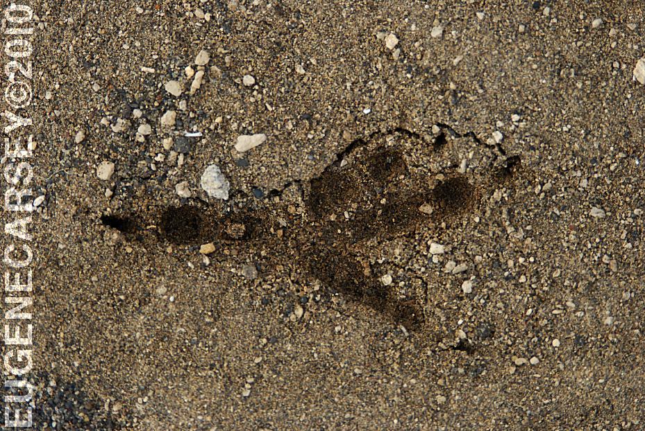
Eagle or Osprey Tracks???
PHOTO HERE
Christmas Valley Store
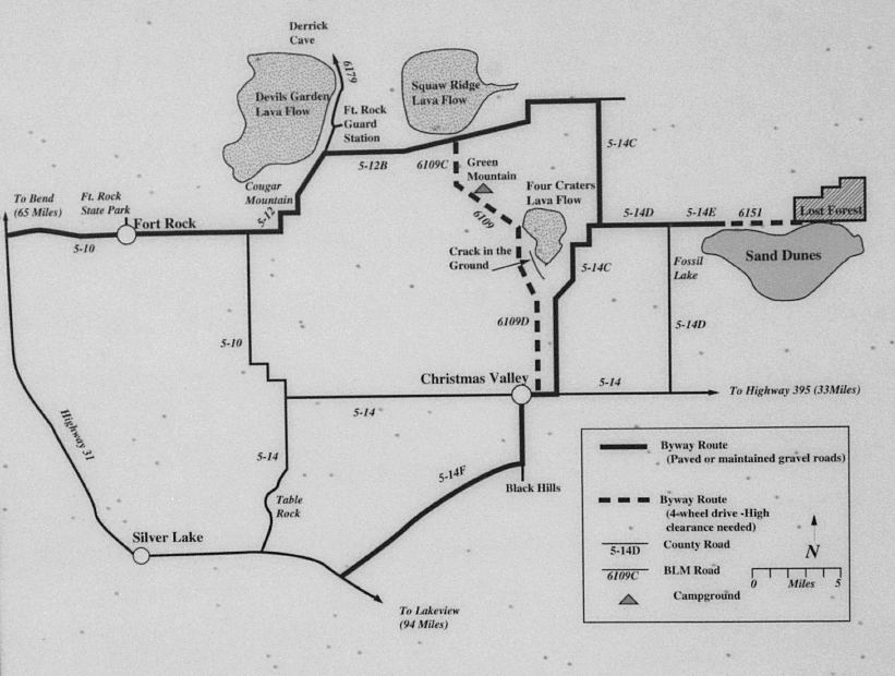
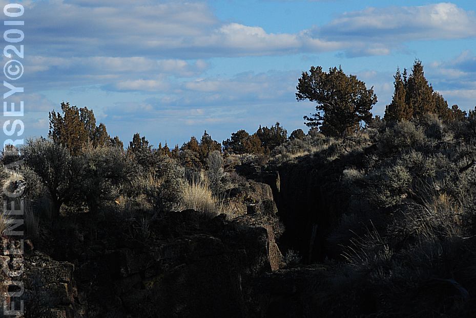
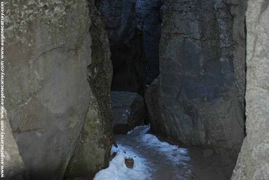
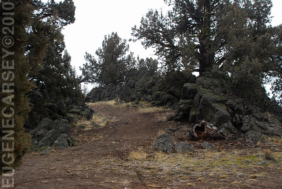
Crack In The Ground

Crack In The Ground
Crack In The Ground
LATITUDE: N 43°19.960
LONGITUDE: W 120°40.275
From the parking area it is about 1/4 mile to
Crack In The Ground. Just as the name implies
there is Crack In The Ground. A trail takes
you inside the Crack In The Ground
Not suitable for persons with claustrophobia
It is moderately difficult with only a couple places
you need to use caution. During winter months
after snowing, it will take longer to melt because
the trail is always in the shade.
Crack In the Ground Parking Area
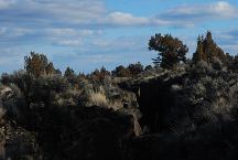
Viewed from Road 6109D
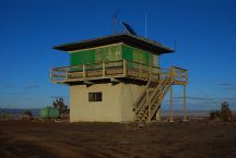
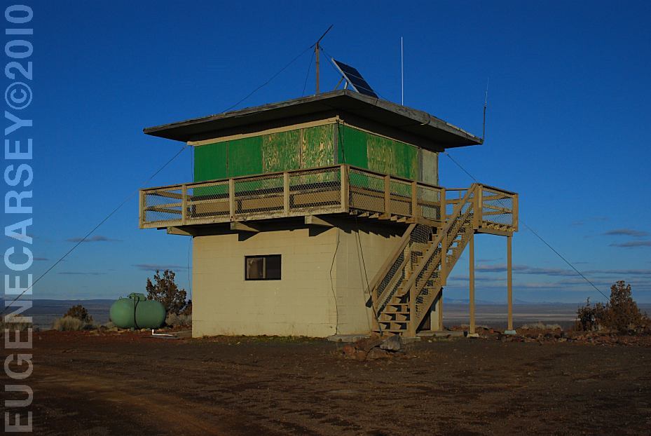
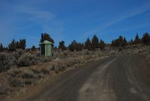
Green Mountain Lookout
LATITUDE: N 43°23.204
LONGITUDE: W 120°43.499
Elevation: 5230'
GREEN MOUNTAIN CAMPGROUND
LATITUDE: N 43°23.160
LONGITUDE: W 120°43.370
Elevation: 5160'
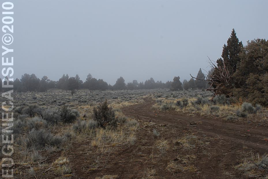
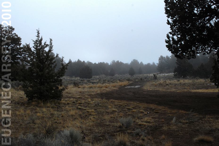
Dispersed Camp on Road 5-12B
LATITUDE: N 43°25.020
LONGITUDE: W 120°47.060
Near the Jct. of Road 5-12 and Road 6109
Dispersed Camp on Road 5-12B
LATITUDE: N 43°25.020
LONGITUDE: W 120°47.060
Spur road north from above dispersed camp
South from above dispersed camp
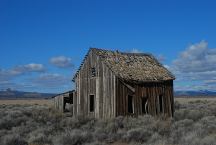
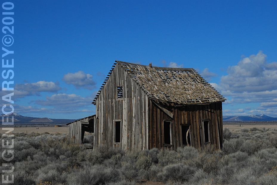
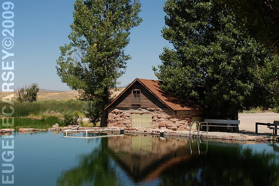
Historic Structure on Road 5-14C
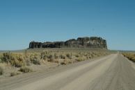
Fort Rock north from Silver Lake, OR
You used to be able to camp anywhere at Fort Rock.
There was a road up the middle and almost to the top.
If you walked around the circumference, would be
almost guaranteed to find an arrowhead.
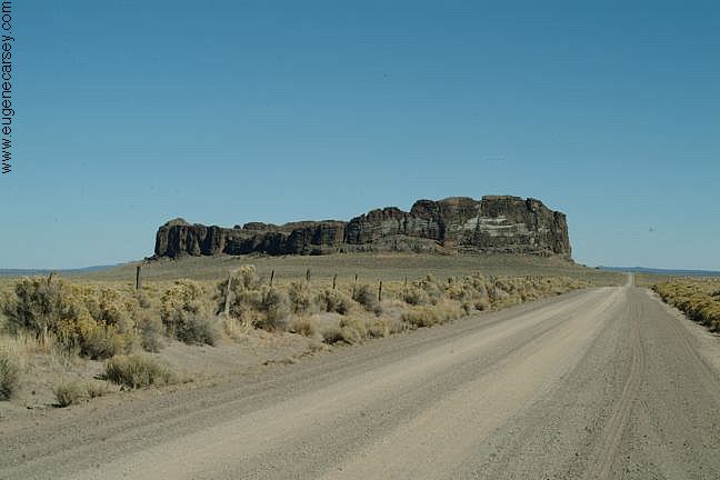
View of Fort Rock in the Distance
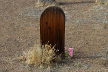
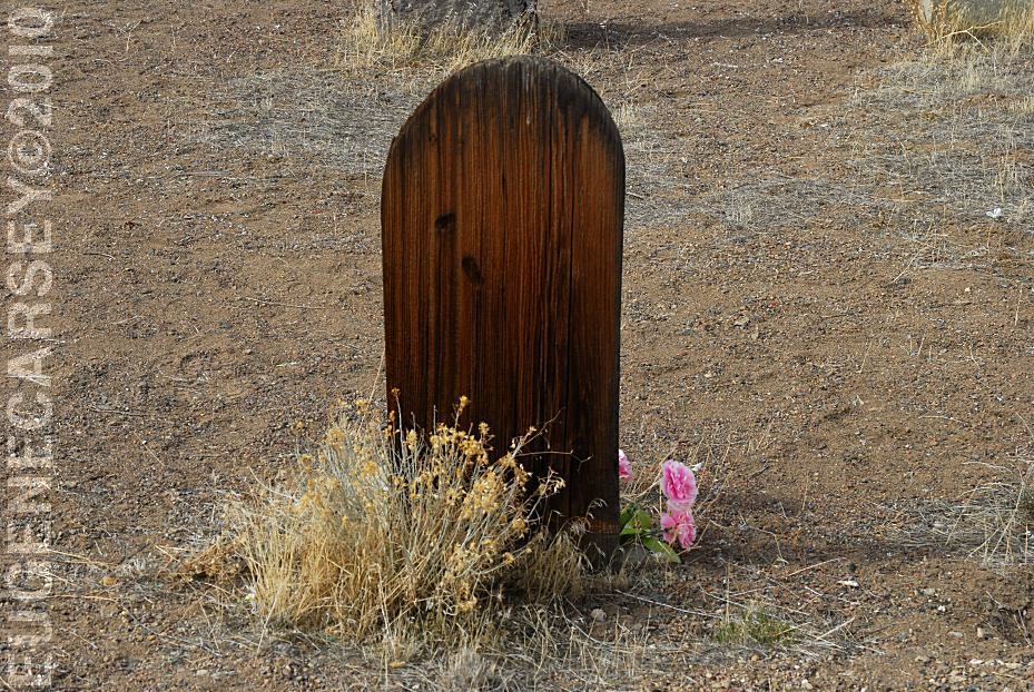
Historic Fort Rock Cemetery
FORT ROCK
CEMETERY
LATITUDE: N 43°22.245
LONGITUDE: W 121°03.828
There was a grave marker that said
Killed By Sheriffs Pose 1913, but it
has disappeared???
PHOTO HERE
Radar Towers in Christmas Valley.
(Photo from the 1980's)
During the cold war the US Military
built radar towers, making Christmas
Valley a nuclear target for the USSR.
The school kids were taught to duck,
cover, and kiss your ass good-bye.
Towers have since been dismantled.
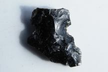
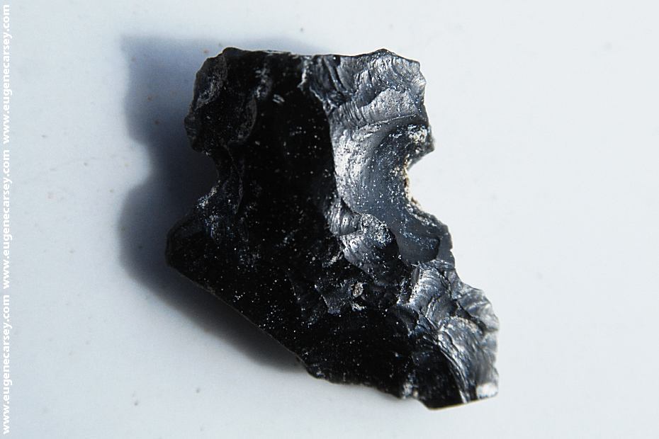
Broken Arrowhead near Fossil Lake
It is a federal crime to collect or disturb artifacts,
even a broken arrowhead.

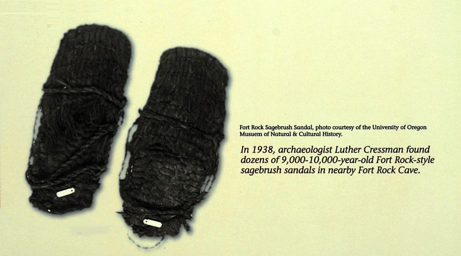
Fort Rock Sagebrush Sandals.
In 1938, archaeologist Luther Cressman found
dozens of 9,000 - 10,000 year old sagebrush
sandals in Fort Rock Cave.
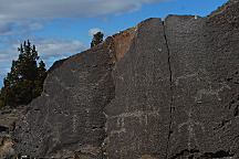
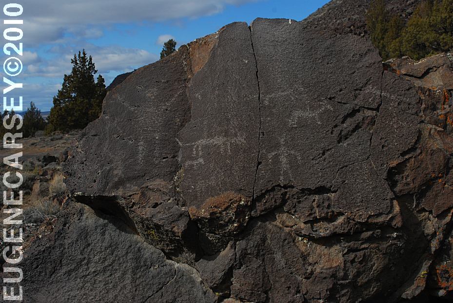
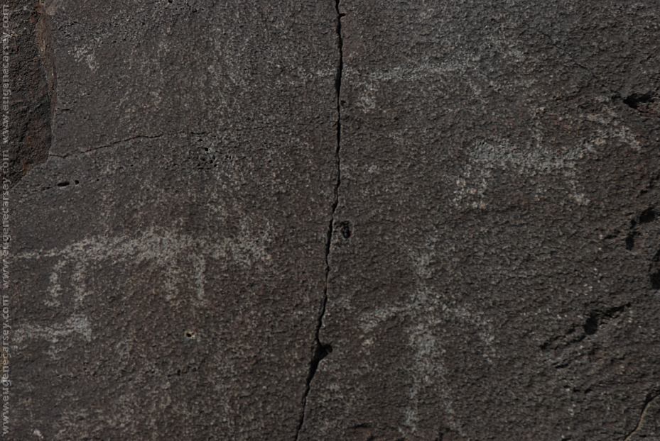
Picture Rock Pass Petroglyphs
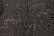
These petroglyphs are used for most of the
tourist brochures and information guides in
Lake County.
PICTURE ROCK PASS PETROGLYPHS
LATITUDE: N 43°02.880
LONGITUDE: W 120°48.020
Petroglyphs on Highway 31 / MP 63
Six miles north from Summer Lake, OR
There are more petroglyphs in the area.
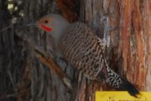
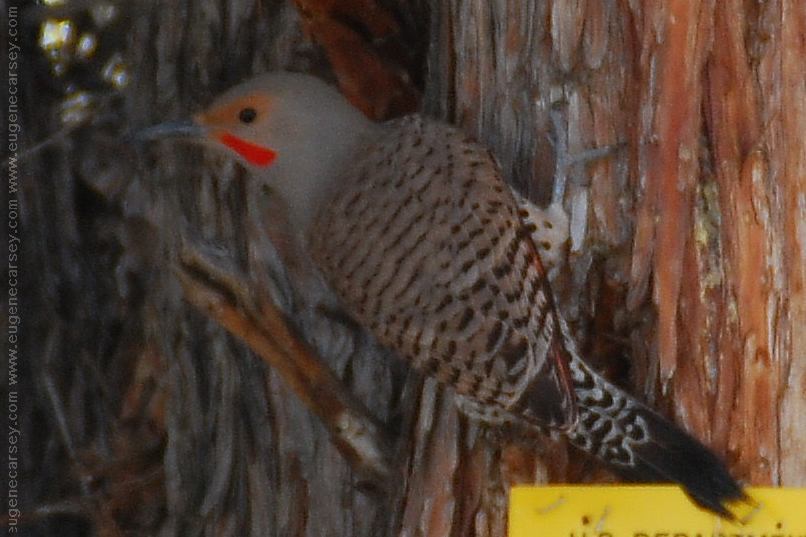
Woodpecker making a lot of noise
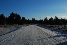
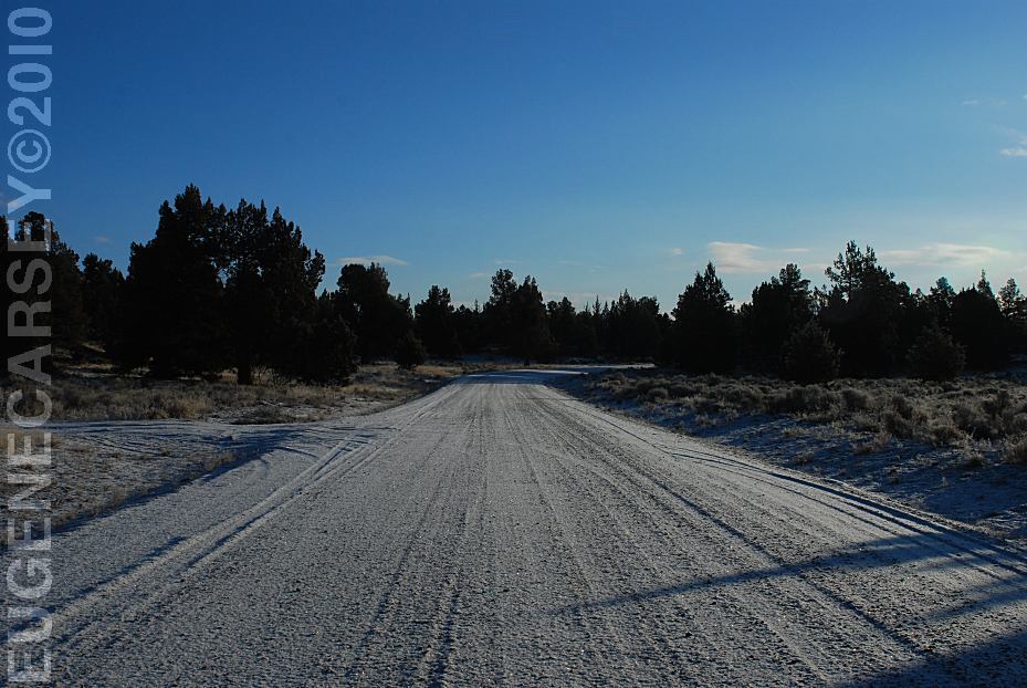
Snow on Road 5-14B
It melted by mid-morning...
March 22, 2010
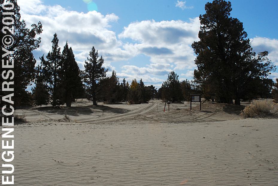
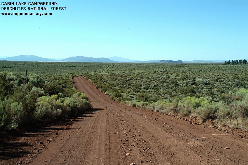
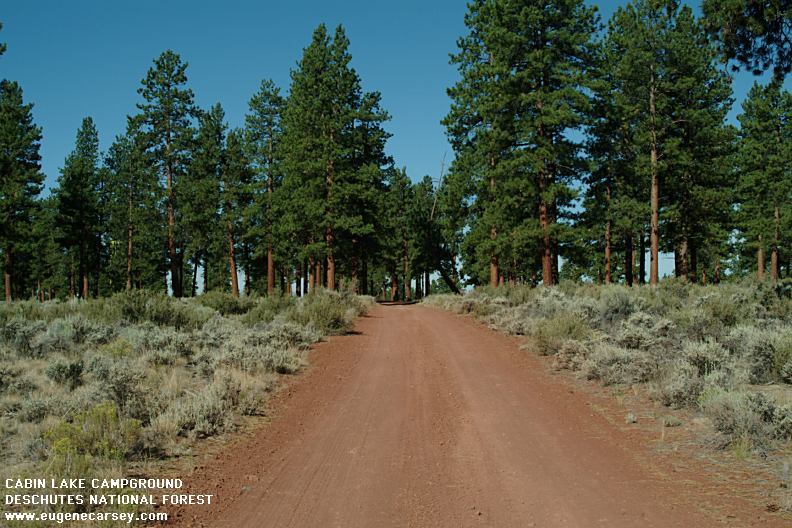
Cabin Lake Campground
CABIN
LAKE CAMPGROUND
LATITUDE: N 43°29.708
LONGITUDE: W 121°03.441
Primitive Campground...
Hole In the Ground
HOLE IN THE GROUND
LATITUDE: N 43°24.775
LONGITUDE: W 121°12.321
(GPS from west rim of Hole In the Ground)
Highway 31 / MP 22
Take Road 3125 for 3 miles
Take Road 3130 for 1 mile
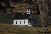
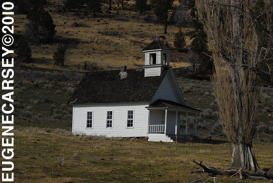
Harris Schoolhouse
South from Summer Lake, OR
Highway 31 near MP 74
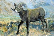
Big Horn Painting at Scenic Byway Kiosk
Highway 31 near MP 70
Across from Summer Lake Store
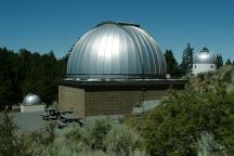
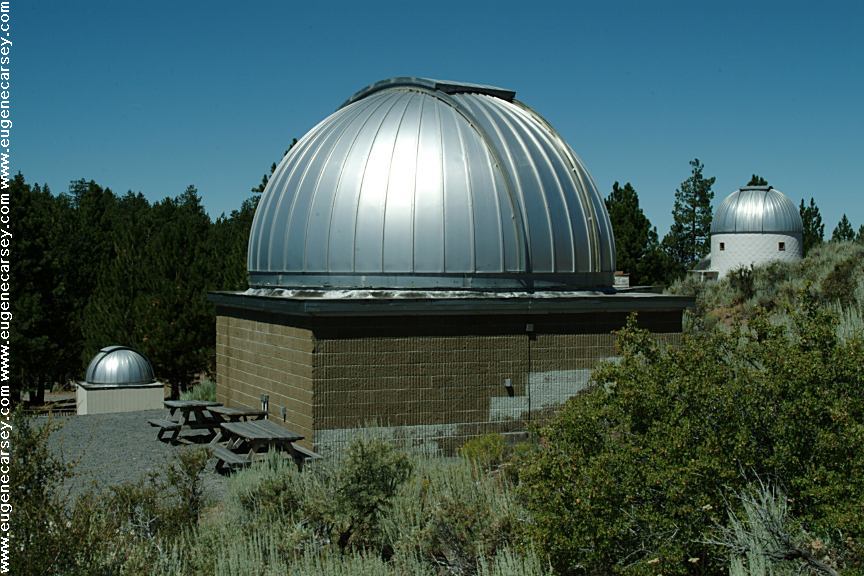
Pine Mountain Observatory
PINE MOUNTAIN OBSERVATORY
LATITUDE: N 43°47.452
LONGITUDE: W 120°56.579
Elevation around 6300'
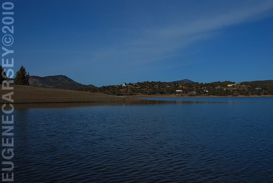
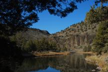
Prineville Reservoir
Viewed from Roberts Bay East #1 Campground
ROBERTS
BAY RECREATION AREA
LATITUDE: N 44°06.810
LONGITUDE: W 120°42.020
Salt Creek Road for 8 miles
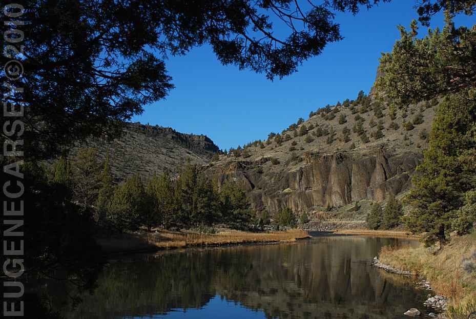
Crooked River
Viewed from Lower Palisades Campground
LOWER
CROOKED RIVER
The Lower Crooked River National Back Country Byway
has some spectacular scenery and views. The Crooked River
carves it's way through old looking canyons of
Columnar Basalt...
|