|
DIRECTIONS:
From LaPine, OR
Take Hwy 31 / MP 29 - 30
Turn on Fort Rock Road
Continue past Fort Rock a couple miles
Turn left on Derricks Cave Road
Turn right on Road 5-12B
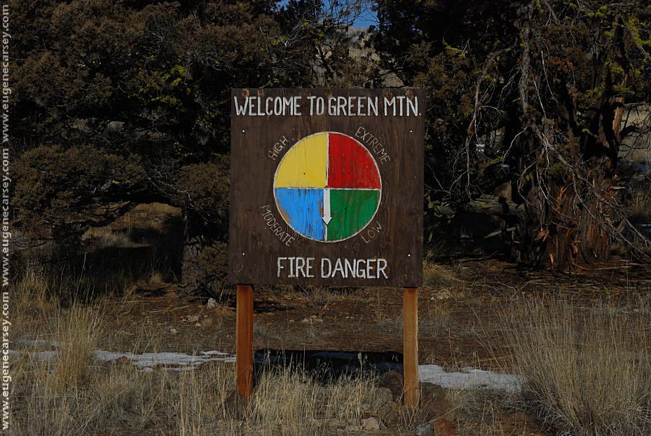
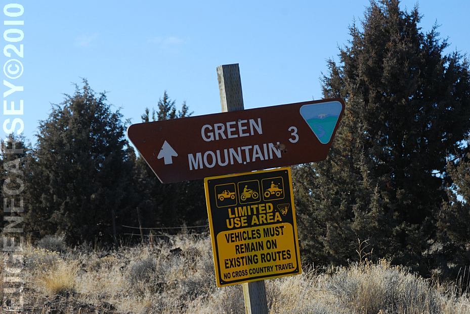
Turn on Road 6109 towards Green Mountain
From Lakeview, OR
Take Hwy 31 / MP 54
Take Road 5-14 / Arrow Gap Road
2 miles past Christmas Valley Store
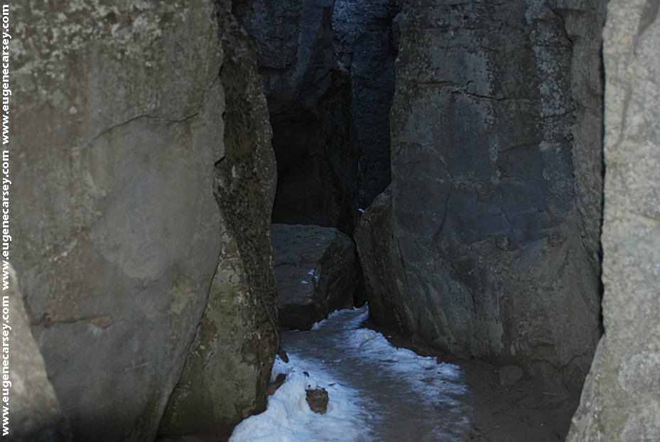
Turn on Road 6019D / Crack In The Ground Road
Crack In The Ground 7 miles
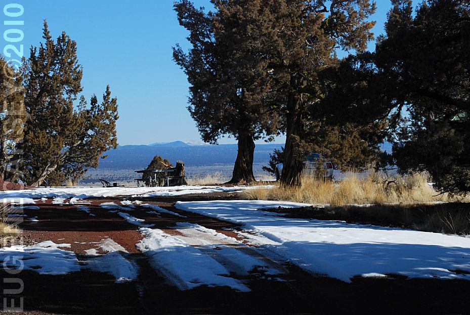
Green Mountain Campground 12 12/2 mile
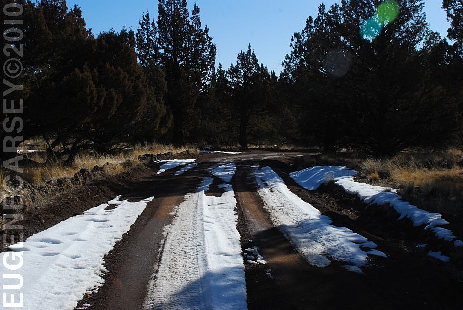
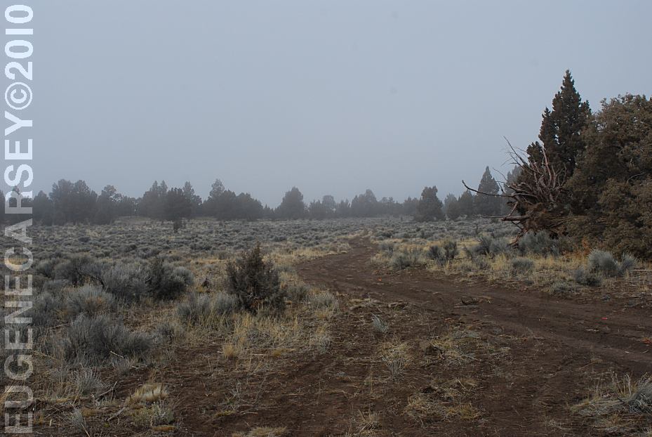
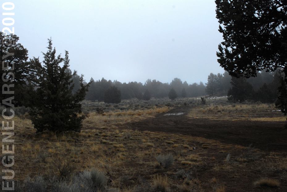
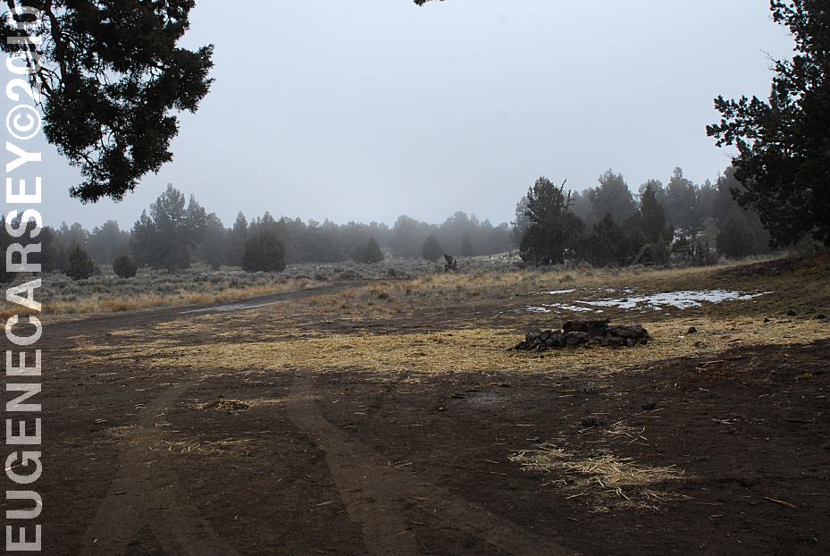
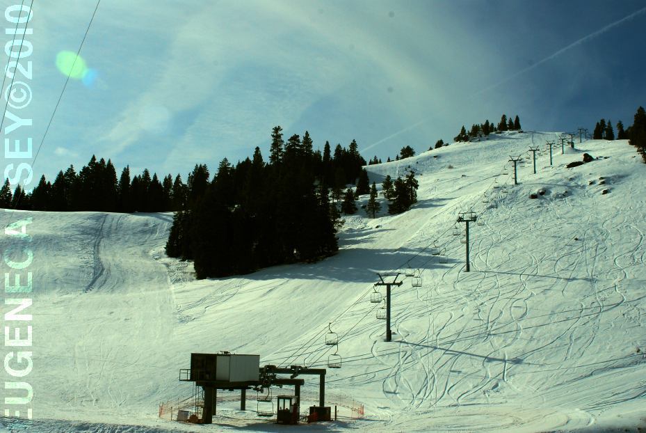
Snow on Road 5-14B
It melted by mid-morning...
March 22, 2010
MILEAGE CHART:
Highway 31 / MP 54 and Arrow Gap Road
|
Silver Lake
LaPine
Lakeview
Christmas Valley
|
3 Miles
55 Miles
88 Miles
18 Miles
|
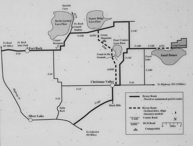
Derricks Cave Road and Road 5-12B
|
Fort Rock GS
Derrick Cave
Fort Rock
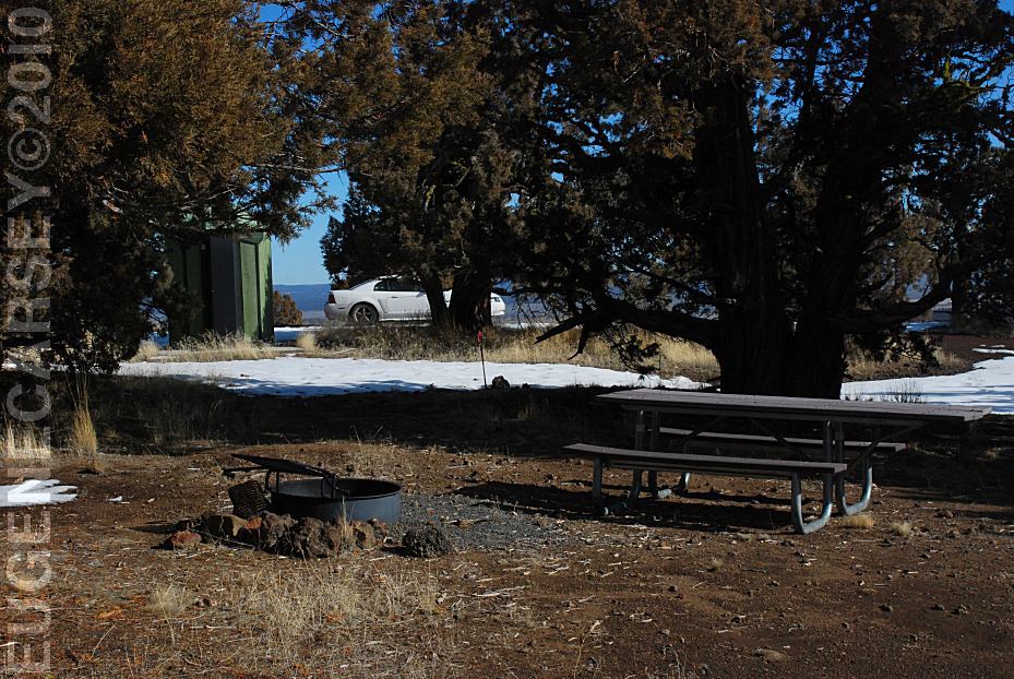
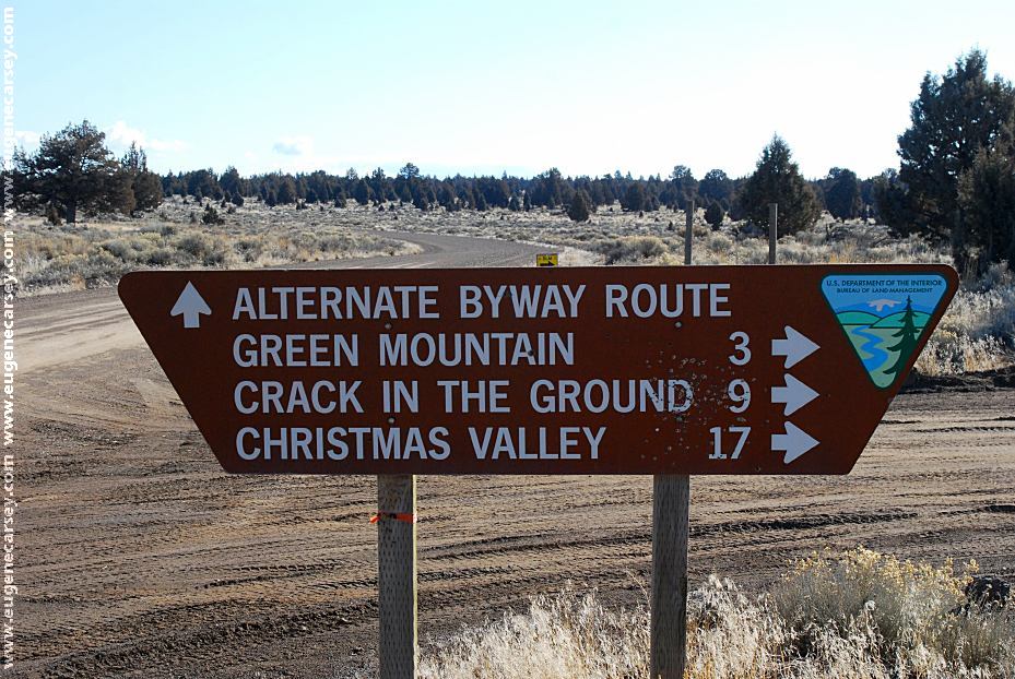
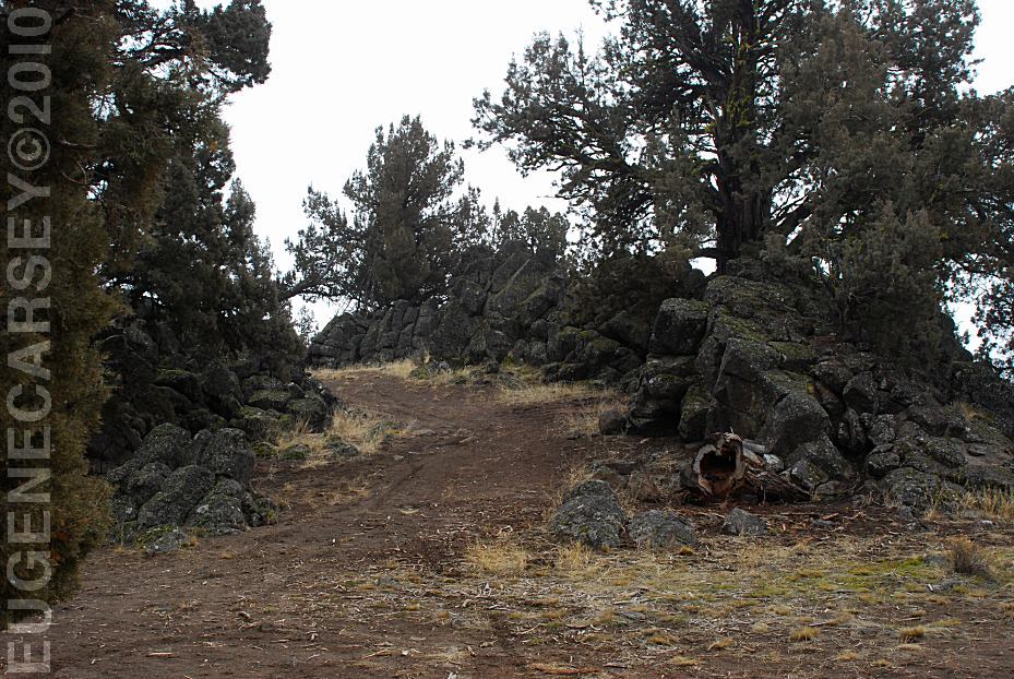
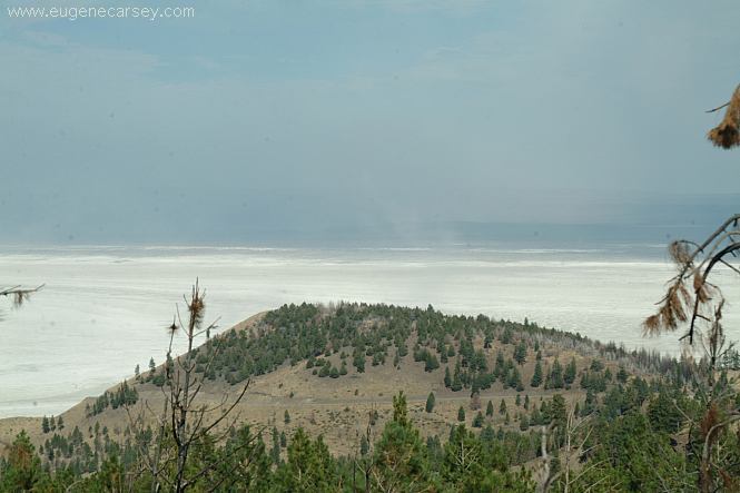
Green Mountain
Crack-In-Ground
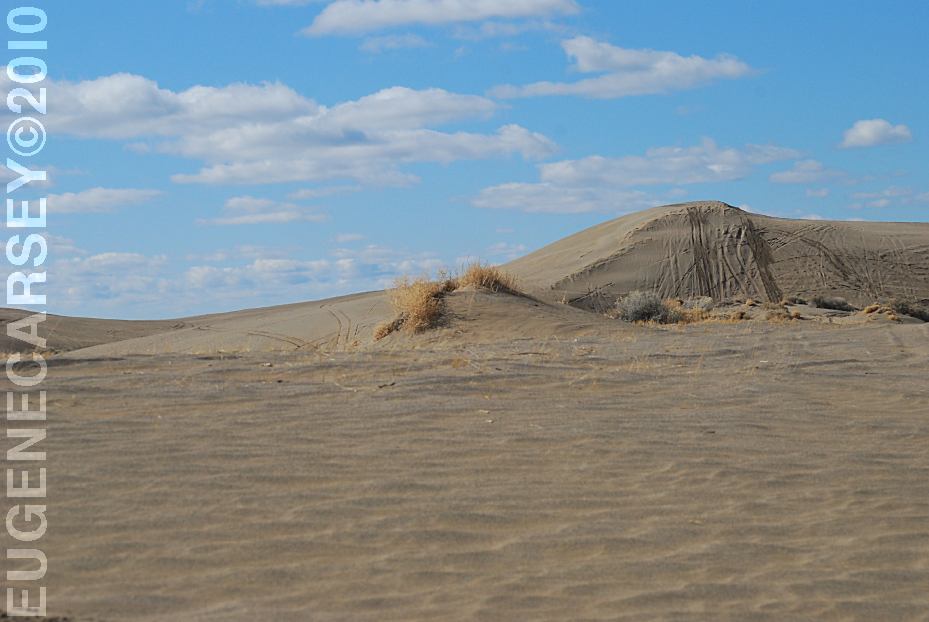
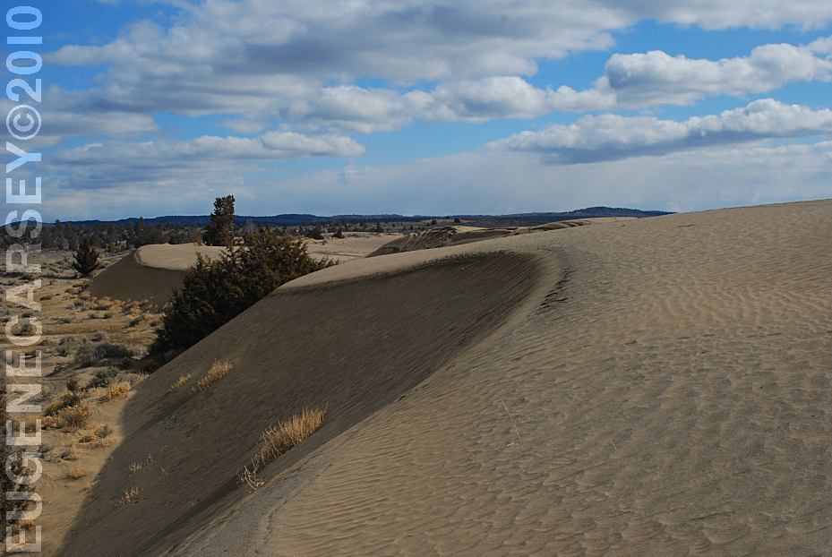
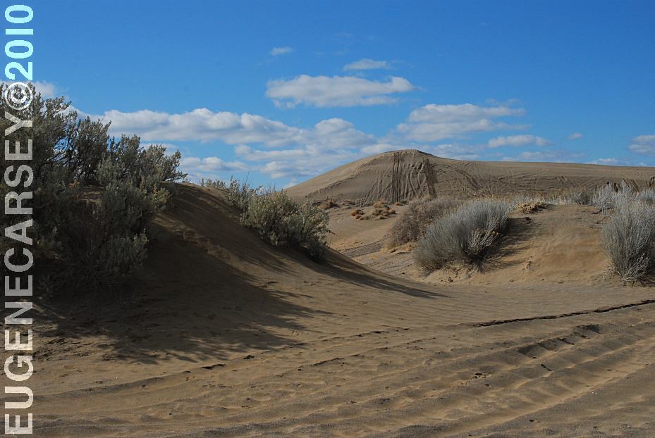
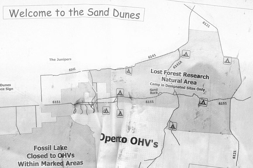
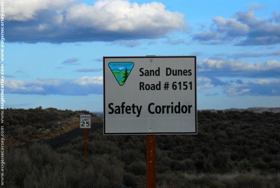
Sand Dunes
|
2 Miles
8 Miles
13 Miles
9 Miles
15 Miles
28 Miles
|
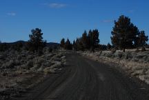
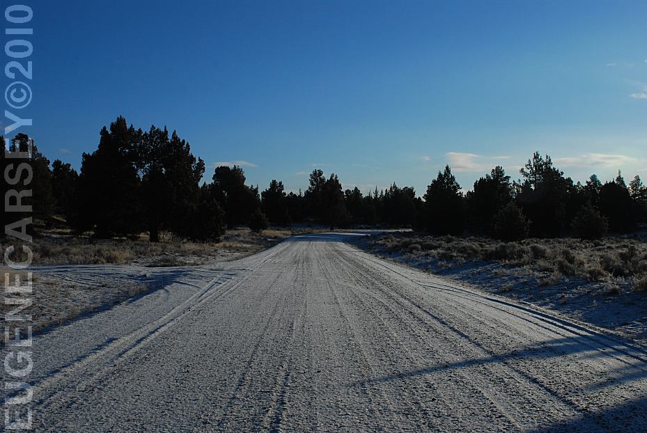
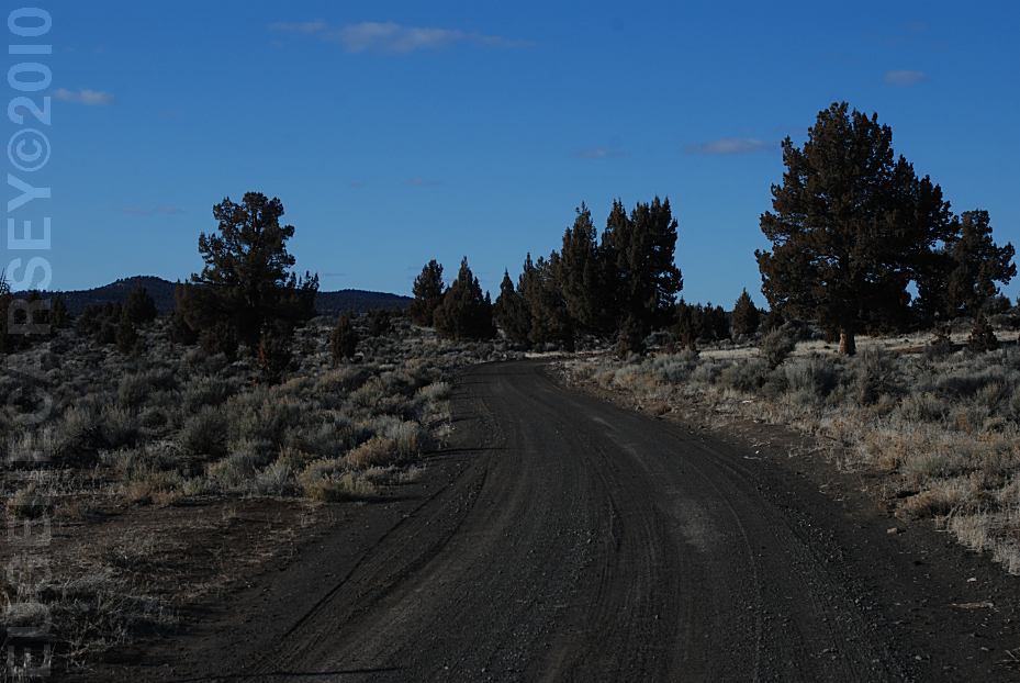
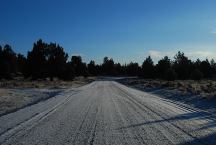
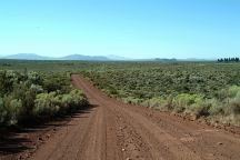
Road 6109D towards Green Mountain
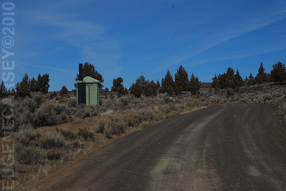
ROAD CONDITIONS:
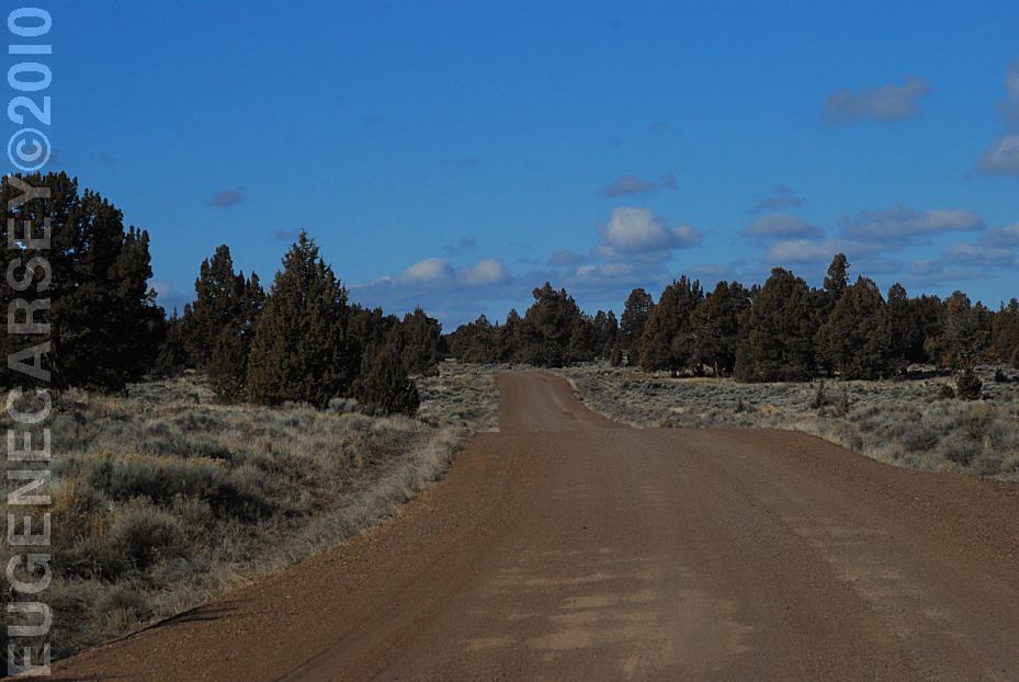
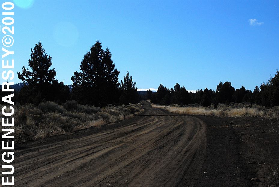
Road 6109 is dirt with some washboards
RVs not recommended
Drinking water at Christmas Valley Library
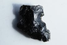
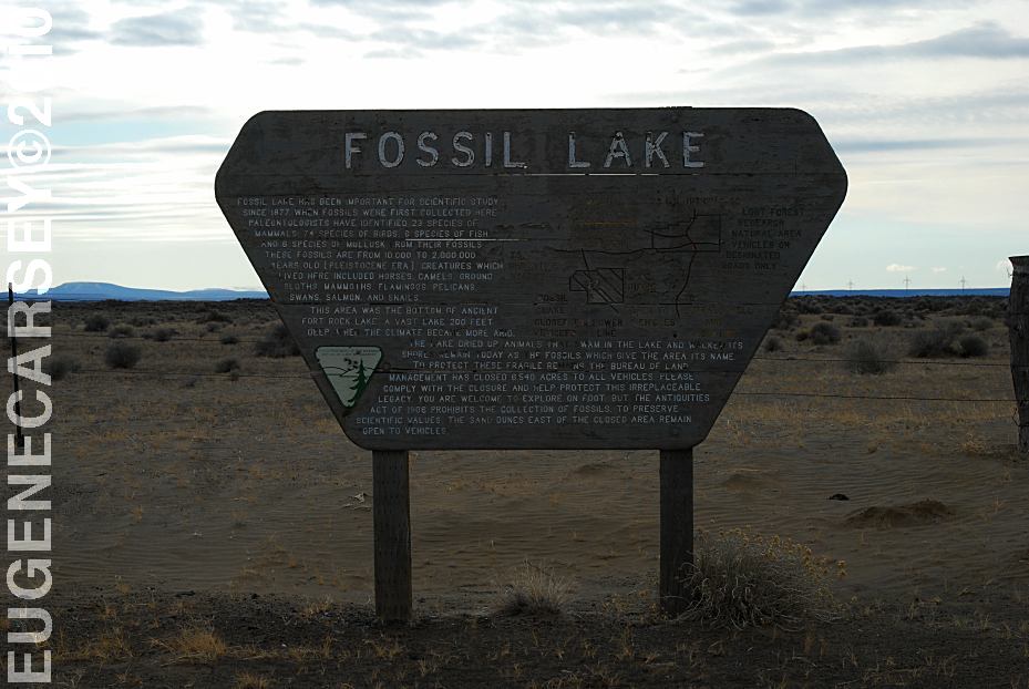
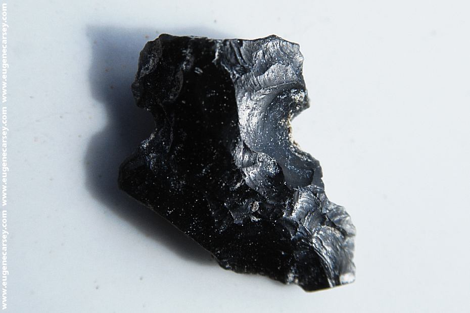
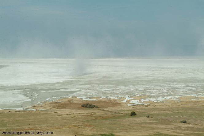
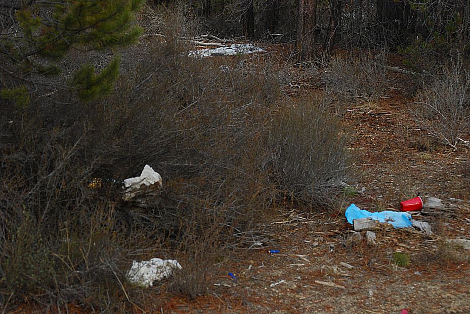
Broken Arrowhead near Fossil Lake
It is a federal crime to collect or disturb artifacts,
even a broken arrowhead.

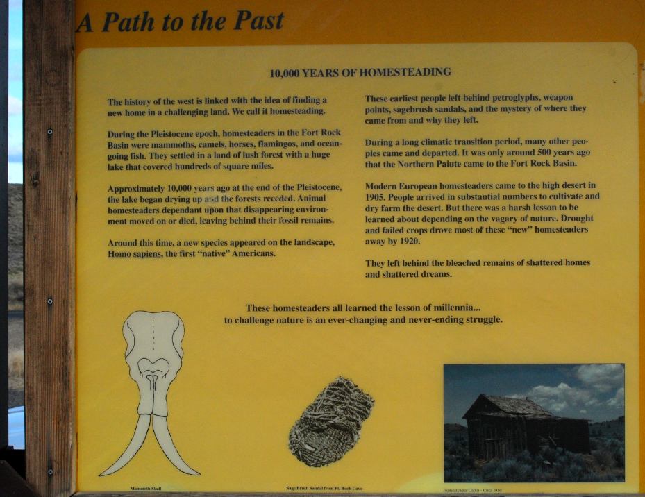
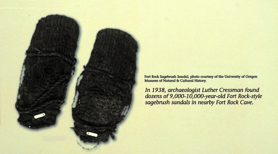
Fort Rock Sagebrush Sandals.
In 1938, archaeologist Luther Cressman found
dozens of 9,000 - 10,000 year old sagebrush
sandals in Fort Rock Cave.
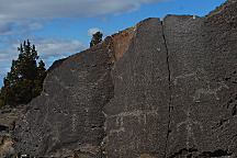
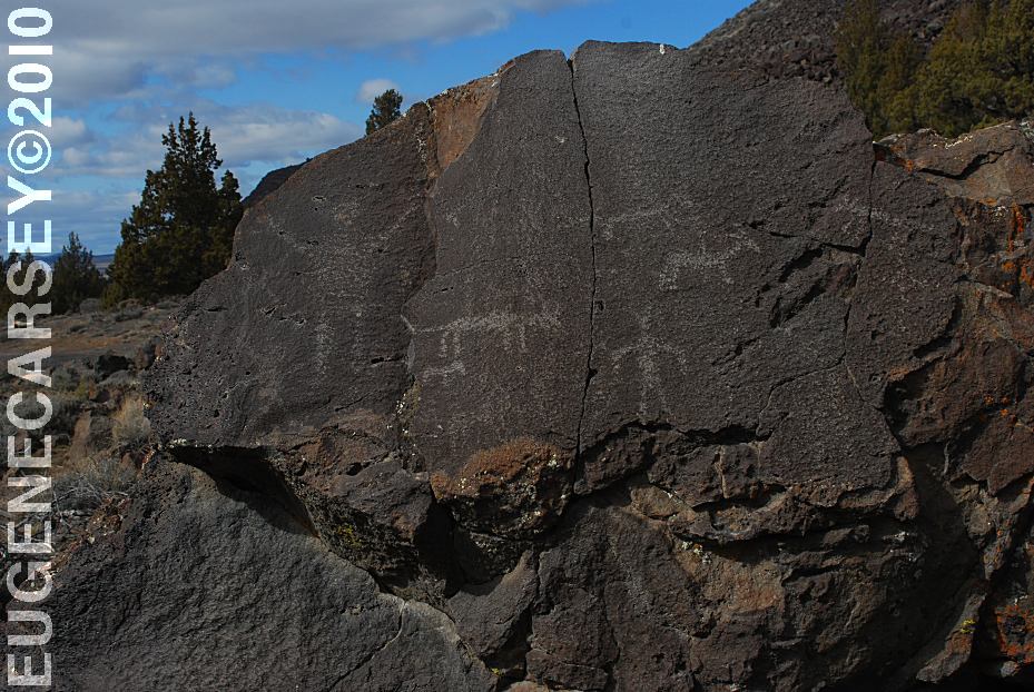
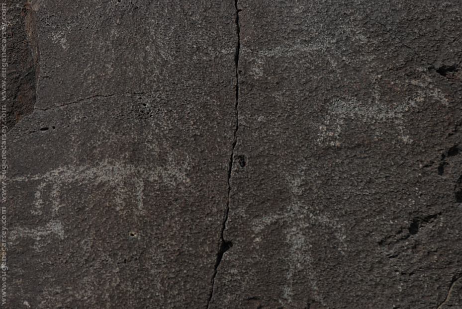
Picture Rock Pass Petroglyphs
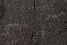
These petroglyphs are used for most of the
tourist brochures and information guides in
Lake County.
PICTURE ROCK PASS PETROGLYPHS
LATITUDE: N 43°02.880
LONGITUDE: W 120°48.020
Petroglyphs on Highway 31 / MP 63
Six miles north from Summer Lake, OR
There are more petroglyphs in the area.
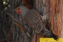
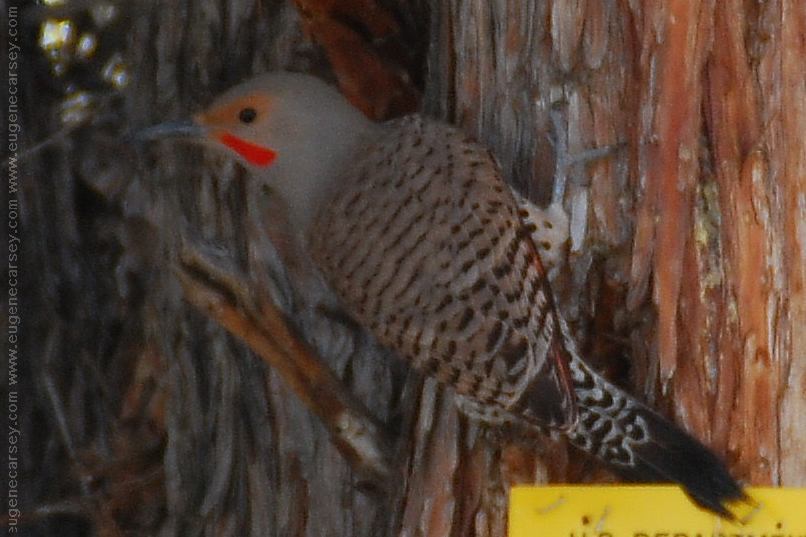
Woodpecker making a lot of noise
WILDLIFE:
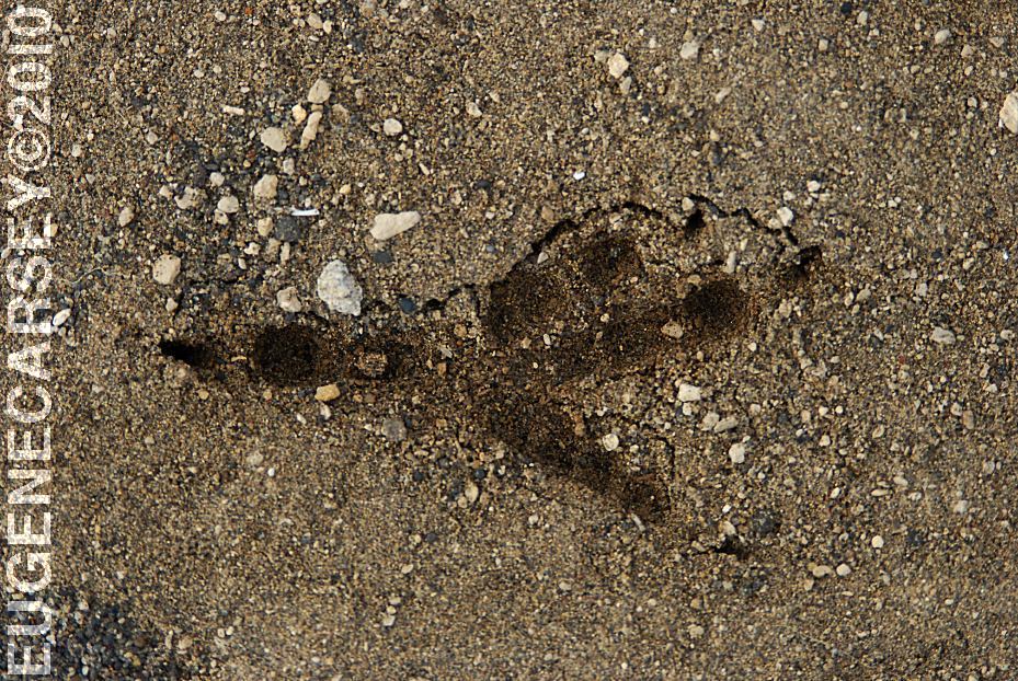
Saw a brown bear on Road#24
(Near the junction of Hwy.31)
Almost hit deer driving at night
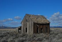
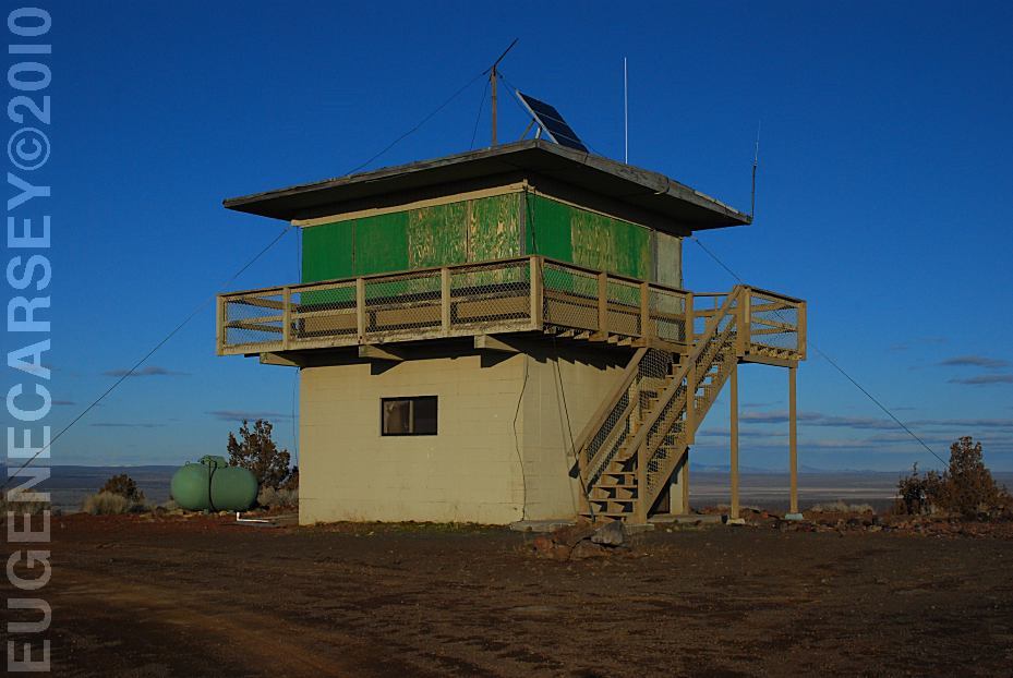
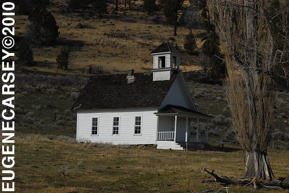
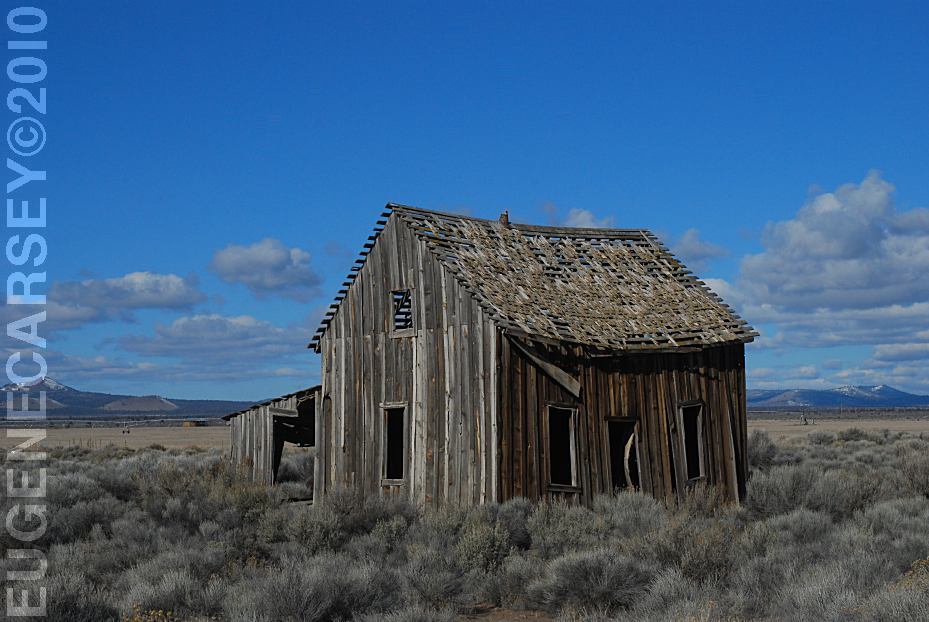
Historic Structure on Road 5-14C
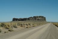
Fort Rock north from Silver Lake, OR
You used to be able to camp anywhere at Fort Rock.
There was a road up the middle and almost to the top.
If you walked around the circumference, would be
guaranteed to find an arrowhead.
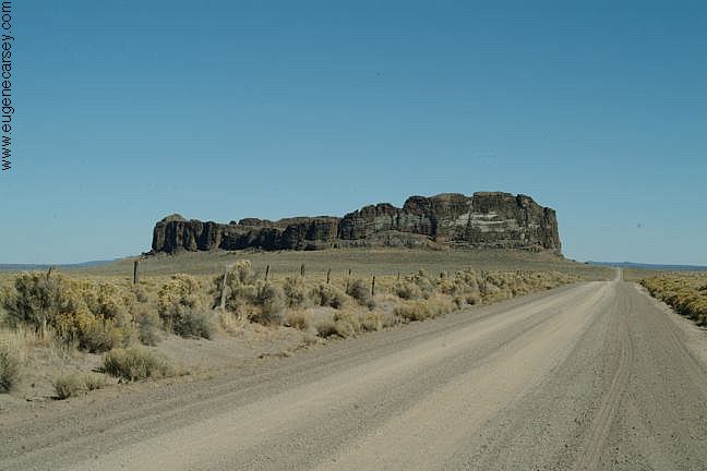
View of Fort Rock in the Distance
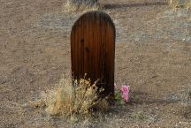
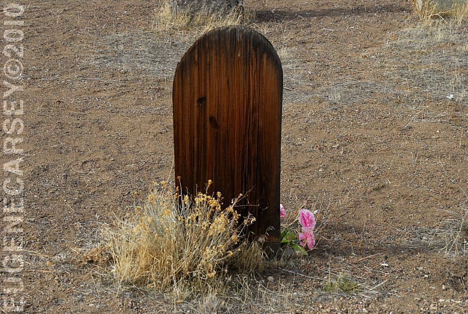
Historic Fort Rock Cemetery
FORT ROCK
CEMETERY
LATITUDE: N 43°22.245
LONGITUDE: W 121°03.828
There was a grave marker that said
Killed By Sheriffs Pose 1913, but it
has disappeared???
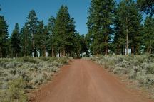
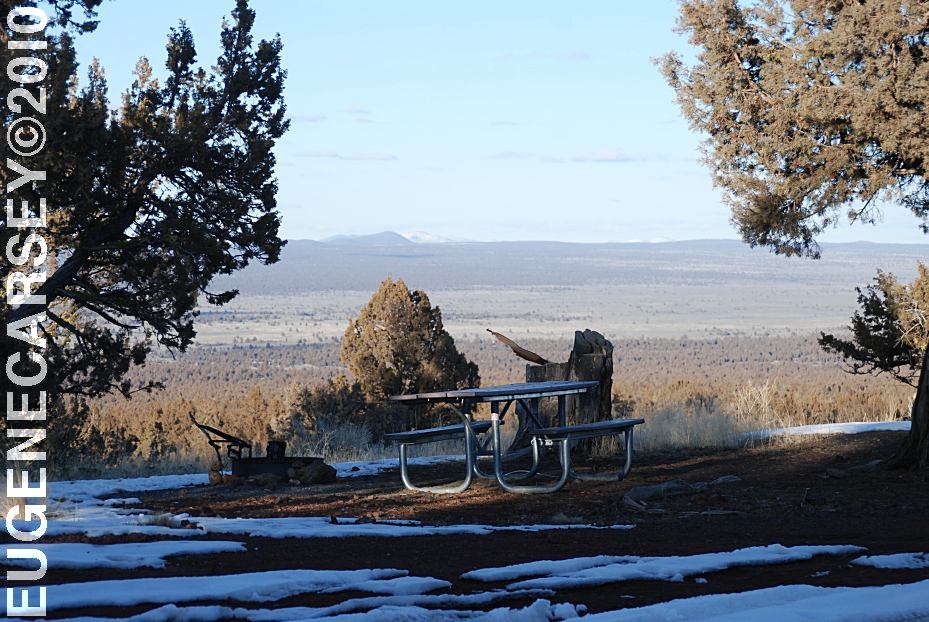
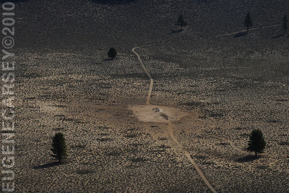
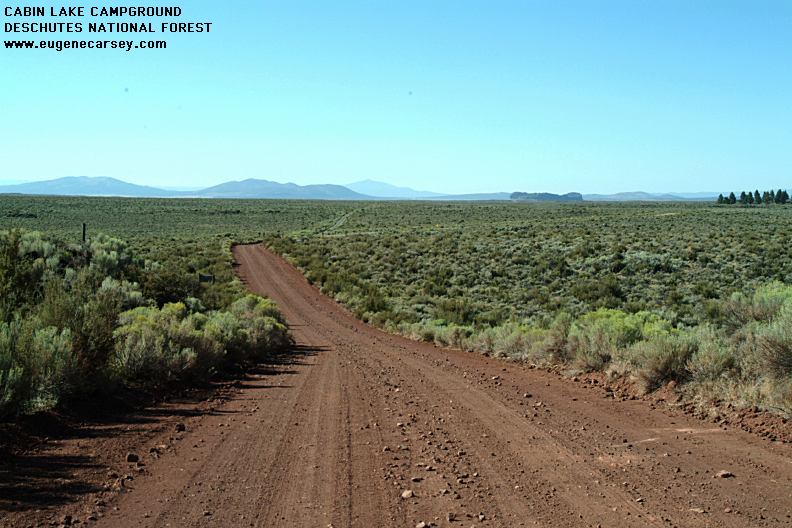
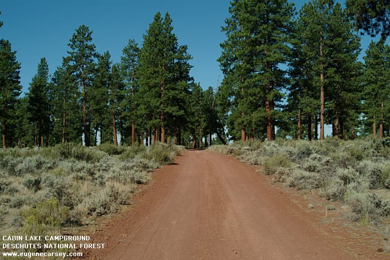
Cabin Lake Campground
CABIN
LAKE CAMPGROUND
LATITUDE: N 43°29.708
LONGITUDE: W 121°03.441
Primitive Campground...
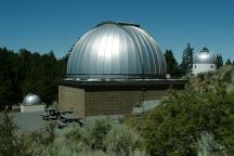
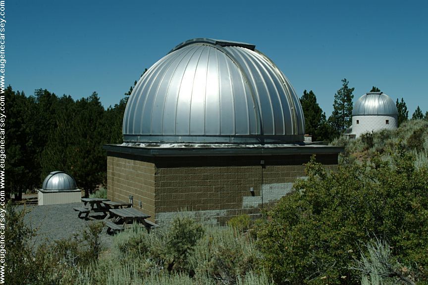
Pine Mountain Observatory
PINE MOUNTAIN OBSERVATORY
LATITUDE: N 43°47.452
LONGITUDE: W 120°56.579
Elevation around 6300'
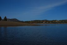
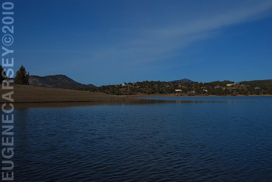
Prineville Reservoir
Viewed from Roberts Bay East #1 Campground
ROBERTS
BAY RECREATION AREA
LATITUDE: N 44°06.810
LONGITUDE: W 120°42.020
Salt Creek Road for 8 miles
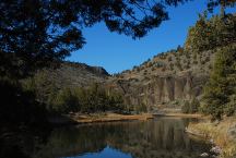
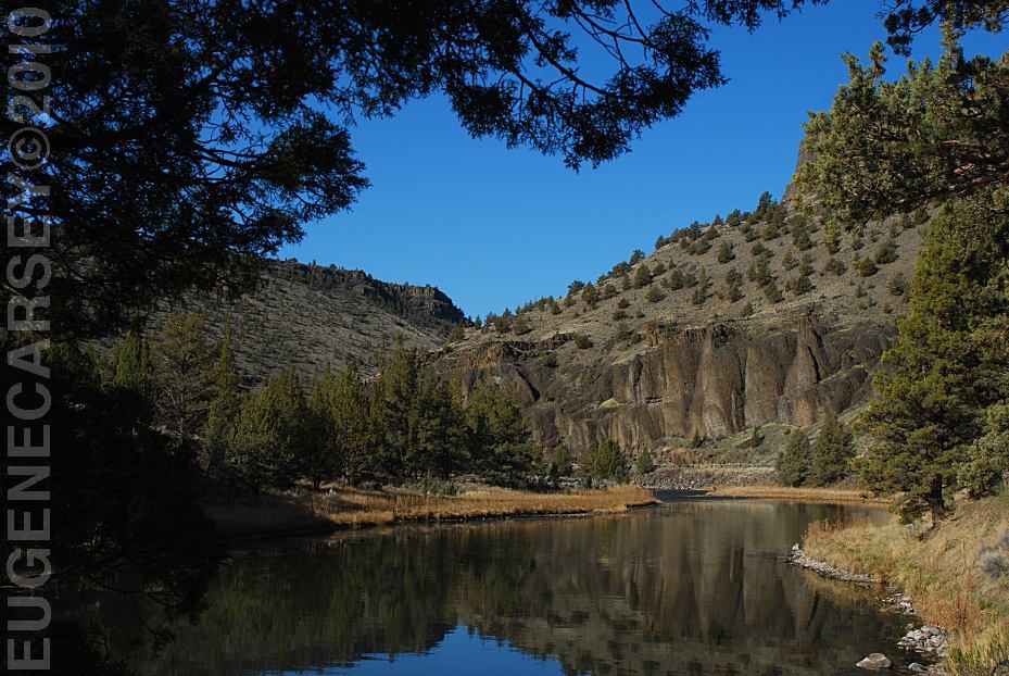
Crooked River
Viewed from Lower Palisades Campground
LOWER
CROOKED RIVER
The Lower Crooked River National Back Country Byway
has some spectacular scenery and views. The Crooked River
carves it's way through old looking canyons of
Columnar Basalt...
|