|
|


|
Free camping and campgrounds |
There are areas you can camp along We camp here when visiting the grandmother The old Hwy 20 is overgrown with bushes DIRECTIONS: Also see: CRANE PRAIRIE
RESERVOIR OREGON FREE CAMPGROUND MAP CAMPGROUND INDEX
dispersedcampgrounds.com
Old Highway 20 east from Bend, Oregon.
It is extreme primitive, no firerings, no outhouse,
nothing but you and the sage brush. Not the greatest
camp area...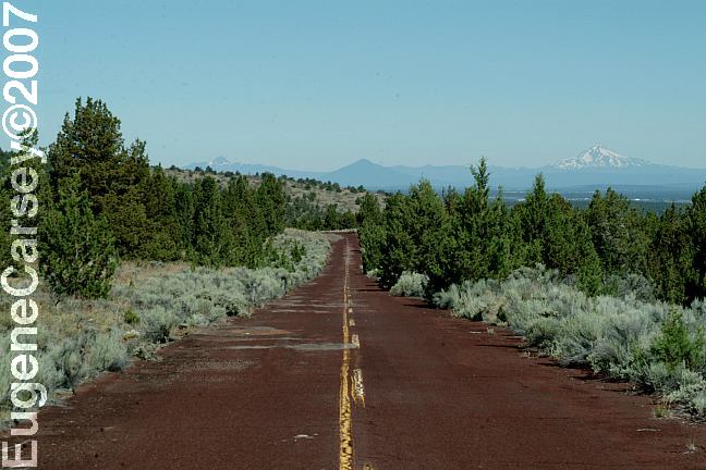
Old Highway 20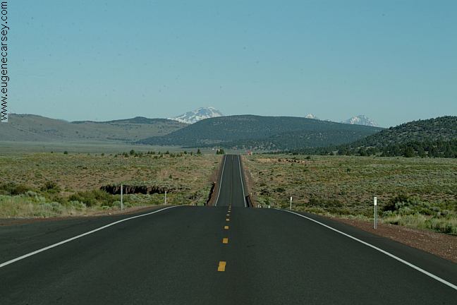
New Highway 20 at Millican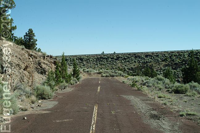
Old and New Highway 20
This is the end of the old Hwy.20
The elevated portion is the new Hwy,20
in Bend, OR., but in recent years have been
camping at East Fort Rock OHV Trail System
that is a short distance east from here.
SAND
SPRINGS CAMPGROUND
More listings at bottom of this page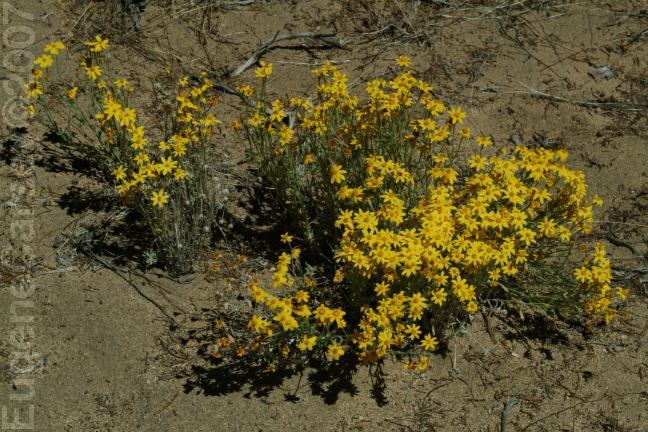
Desert flowers on old Highway 20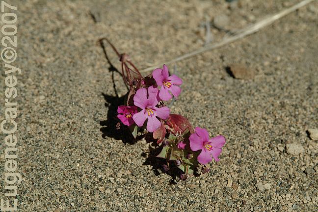
Desert flowers on old Highway 20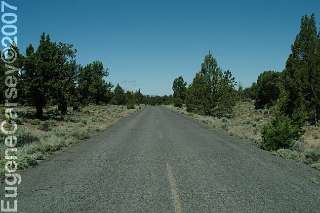
Old Highway 20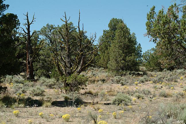
View from our camp...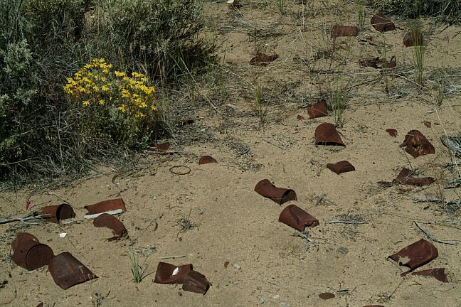
Old garbage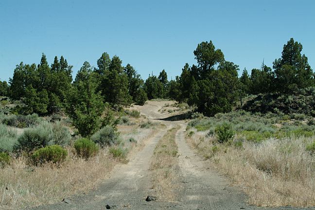
Camp area on old Hwy.20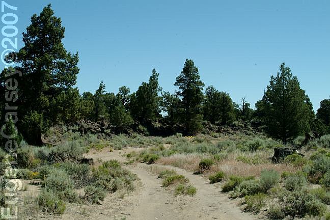
Camp area on old Hwy.20
and weeds, but is in pretty good shape. There
are a couple dirt roads where you could camp,
It is mostly BLM Land.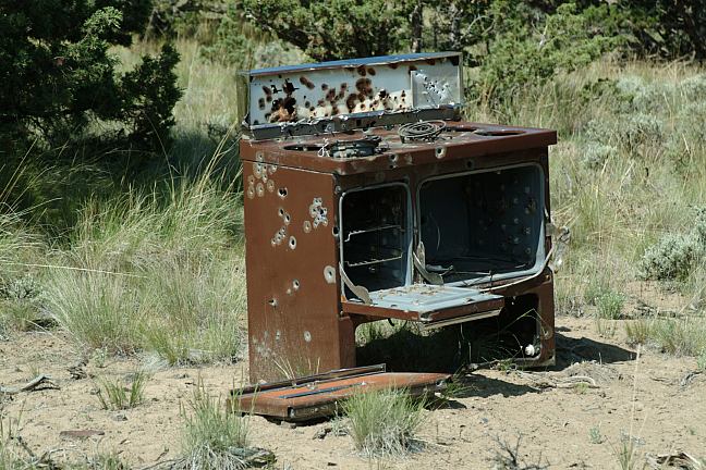
Oven used for target practice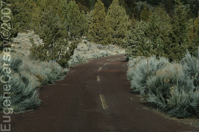
Old Highway 20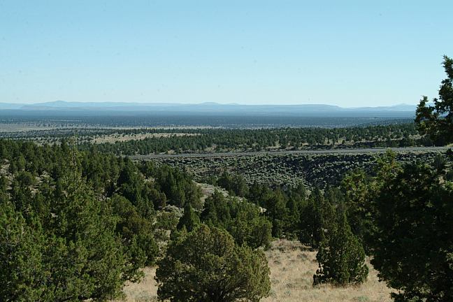
New Hwy.20 viewed from old Hwy.20
From Bend take Hwy.20 east (towards Burns)
Between milepost 20-21 turn right
About 100' turn right on the narrow road
There is a gate in about 100 yards.
Keep going and the road turns to red cinder
surface(see above image).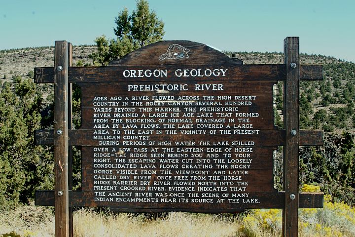
Hwy.20 Geology Information Sign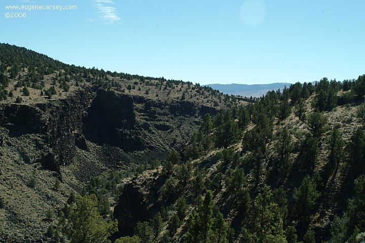
Hwy.20 Viewpoint of Prehistoric River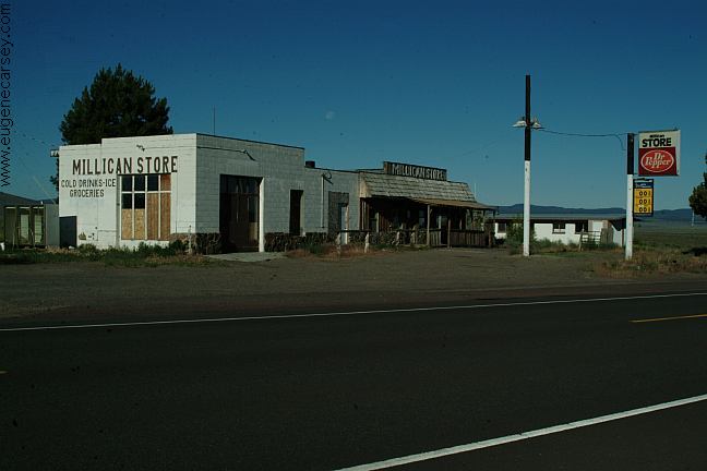
Millican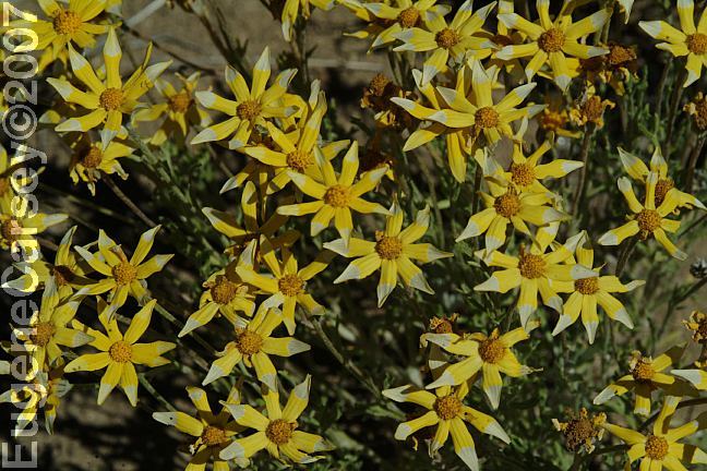
Desert flowers on old Highway 20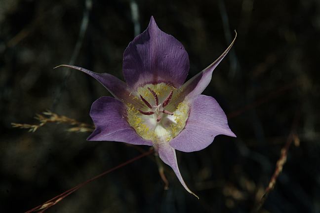
Desert flowers on old Highway 20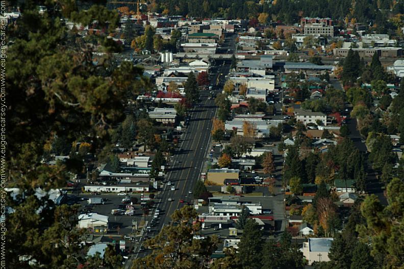
Bend, OR from the top of Pilot Butte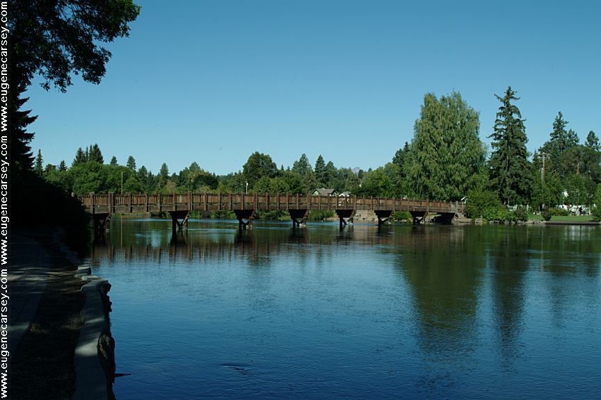
Drake Park in Bend, OR
Bridge over the Deschutes River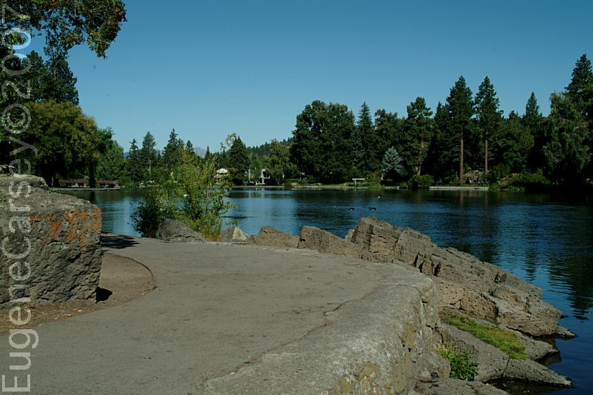
Drake Park / The Point
This was our fishing spot as kids. Caught many
fish here.
Also see: EFR
OHV / CAMP II TRAILHEAD
Also see: EFR
OHV / ROAD 25 STAGING AREA
Also see: EFR
OHV / CHINA HAT CAMPGROUND
Also see: EFR
OHV / ROAD 2510 STAGING AREA
Also see: EFR OHV / SOUTH LAVA TRAILHEAD
Also see: EFR
OHV / SAND SPRINGS CAMPGROUND
Also see: HAYSTACK
RESERVOIR
Also see: LAVA BUTTE /
ROAD#500
Also see: LAVA
FLOW CAMPGROUND
Also see: NEWBERRY CRATER and MONUMENT
Also see: OCHOCO
NF / ROAD#16
Also see: OCHOCO
NF / ROAD#27
Also see: PINE MOUNTAIN OBSERVATORY
Also see: PRINEVILLE
/ NORTH SHORE
Also see: PRINEVILLE
/ SALT CREEK
Also see: ROCK
CREEK CAMPGROUND
Also see: SPARKS
LAKE RECREATION AREA
Also see: WICKIUP
RESERVOIR / ROAD#090
Also see: WICKIUP
RESERVOIR / ROAD#4260
Also see: WICKIUP
RESERVOIR / ROAD#4280
Also see: WICKIUP
RESERVOIR / ROAD#4370
Also see: WICKIUP
RESERVOIR / ROAD#44
Google Custom Map by Ian
Google custom map by Ian with most of the
free campgrounds in Oregon.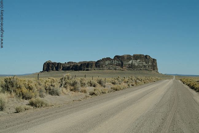
Fort Rock
Complete free campground listing
Chemtrails Jan.22, 2004
Free camping and campgrounds
OREGON CAMPGROUND DIRECTORY
BEND OREGON
OLD HIGHWAY 20
Dispersed and Primitive Camping
