|
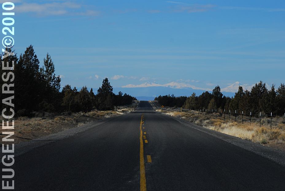
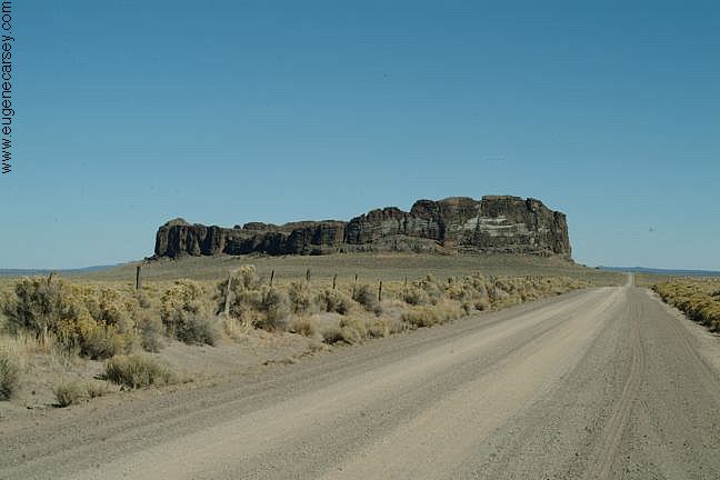
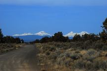
SW Reservoir Road from Reservoir Play Area
Notice all the snow covered mountains in the background.
IT IS YOUR RESPONSIBILITY TO
KNOW
WHAT FIRE RESTRICTIONS ARE IN EFFECT
Axe, shovel, and 5 gallons of water required.
Leather Gloves and Fire Extinguisher Recommended
DIRECTIONS:
From Bend, OR
Hwy. 20 east about 2 miles
Take Powel Butte Hwy. about 1/2 miles
Turn right on Alfalfa Market Road
Continue past Alfalfa on SW Reservoir Road
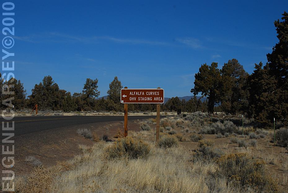
Alfalfa Curves Staging Area about 4 1/4 miles
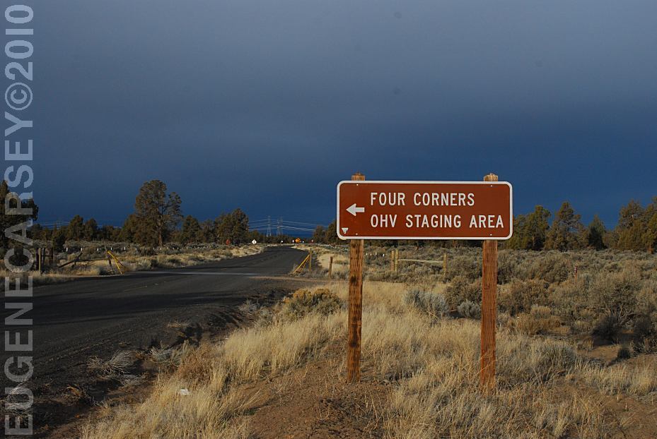
Four Corners Staging Area about 6 1/2 miles
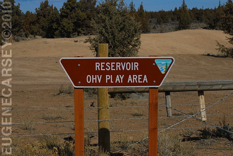
Reservoir Road Play Area about 11 miles
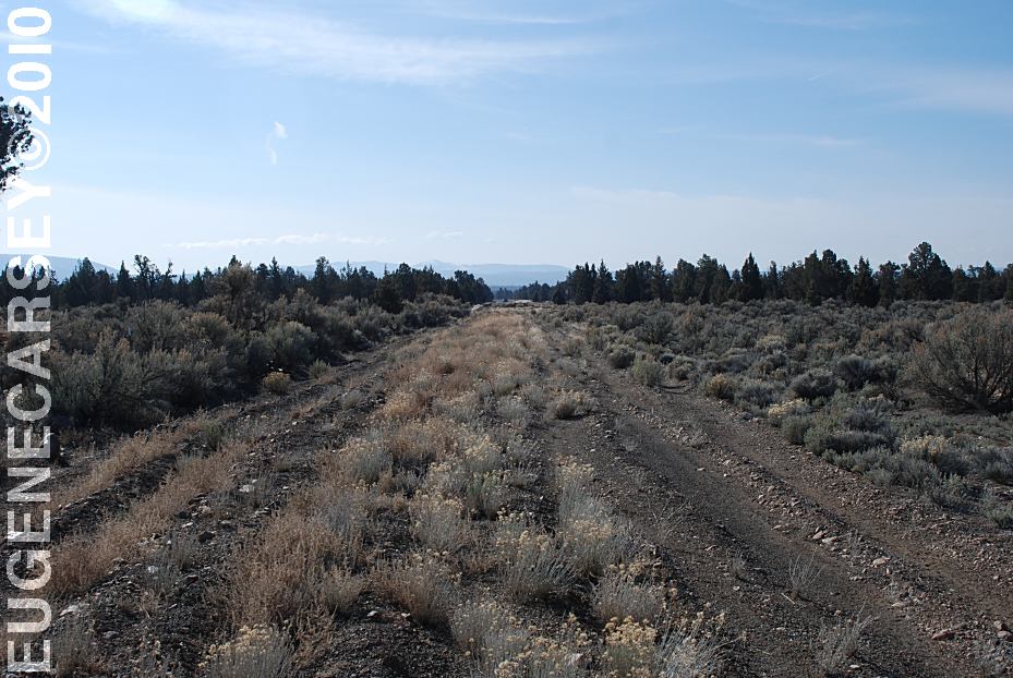
ROAD CONDITIONS:
Paved surface roads...
When driving off the paved road, be careful
of loose sand and stay on packed surfaces.
MILEAGE CHART
From Hwy.20 and Powell Butte Highway
|
Airport
Alfalfa
Powell Butte
Prineville
Burns
|
2 Miles
10 miles
18 Miles
30 Miles
127 Miles
|
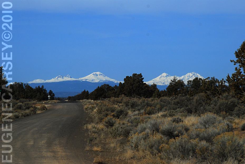
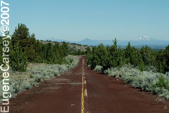
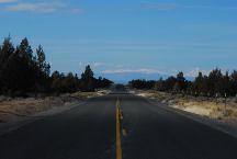
Mountain views from Willard Road
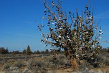
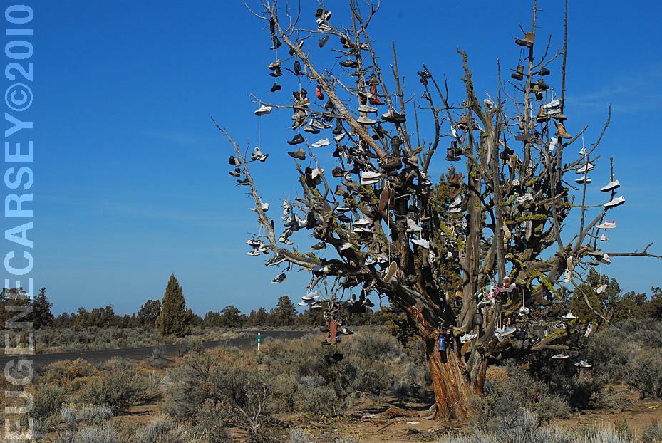
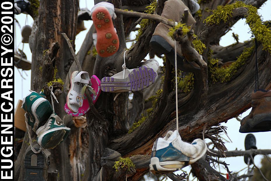
Tree covered with shoes on SW Reservoir Road

Tree covered with shoes on SW Reservoir Road
SHOE TREE
LATITUDE: N 44°04.484
LONGITUDE: W 120°56.963
SW Reservoir Road / MP 10
3 1/2 miles past Alfalfa Store
Near Willard Road and Alfalfa Curves
We understand that it is artwork,
but it is also a good way to dispose of
your garbage... like throwing old tires
out in the desert and painting them
different colors, except that the tree
will| have to be cut down.
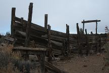
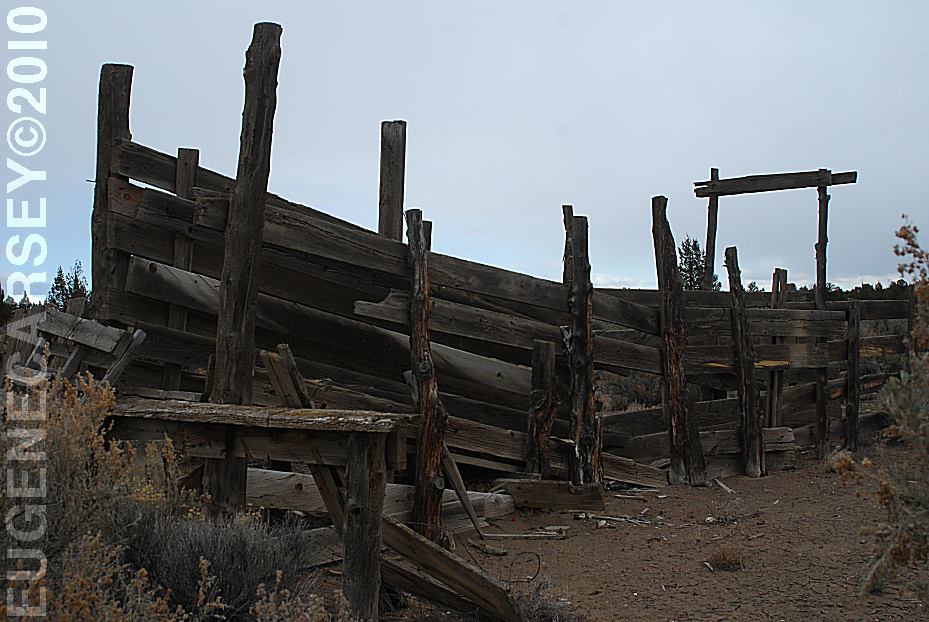
Old Corrals on Willard Road
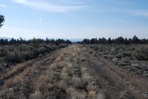
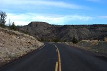
Highway bed being rejuvenated.
Just a short section where the curves were redesigned.
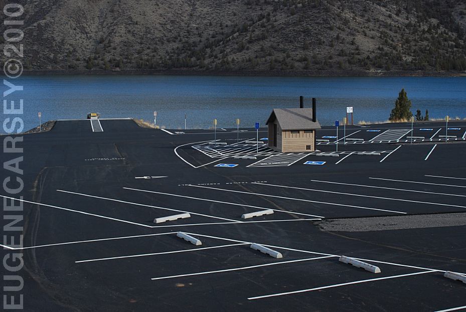
Powder House Cove
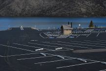
Powder House Cove Boat Ramp and Parking
POWDER HOUSE COVE
(Prineville Reservoir)
LATITUDE: N 44°06.342
LONGITUDE: W 120°46.650
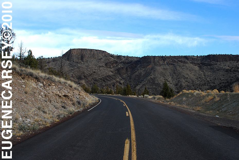
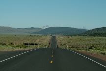
Highway 27 towards Prineville Reservoir
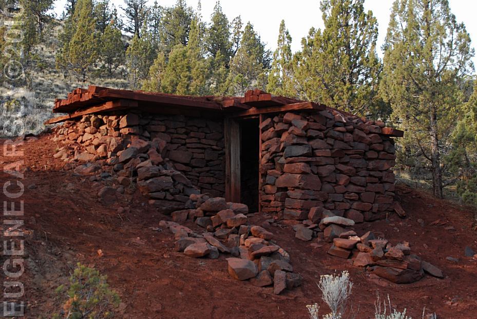
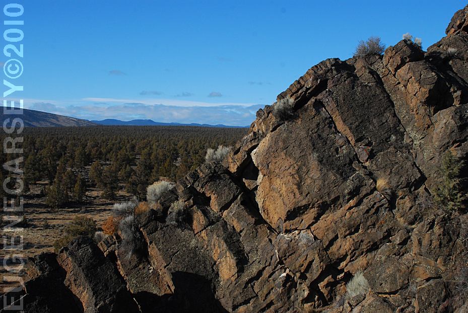
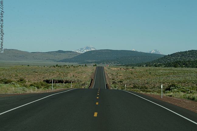
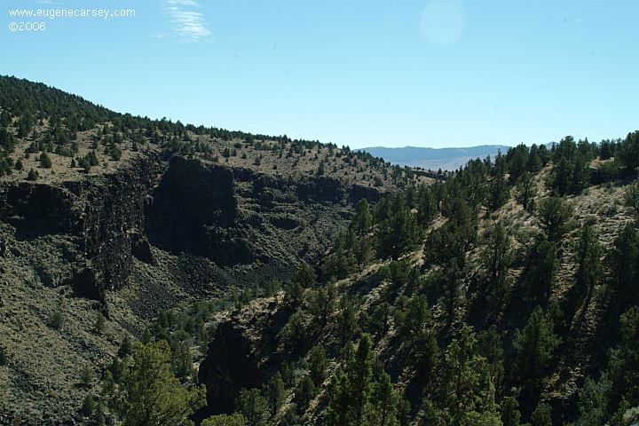
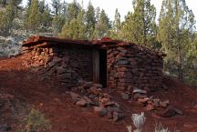
Badlands Rock
LATITUDE: N 43°59.489
LONGITUDE: W 121°01.648
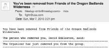
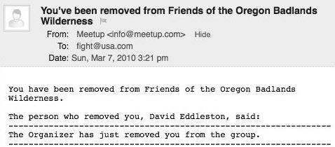
We were kicked out of the Friends of the Oregon Badlands
group by the organizer David Eddleston. We have never
met David Eddleston and and no explanation was offered
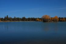
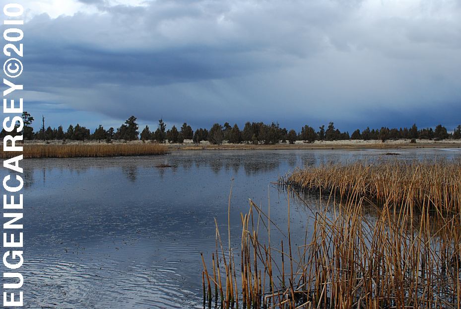
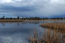
Reynolds Pond
LATITUDE: N 44°03.540
LONGITUDE: W 121°00.895
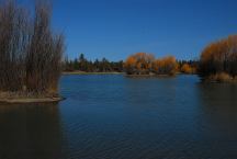
Reynolds Pond
Highway 20 at Millican
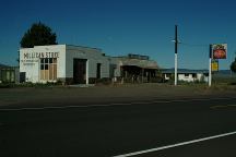
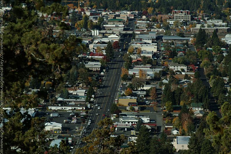
Millican
We have bought gas here in the past,
now is Millican is becoming a Ghost Town.
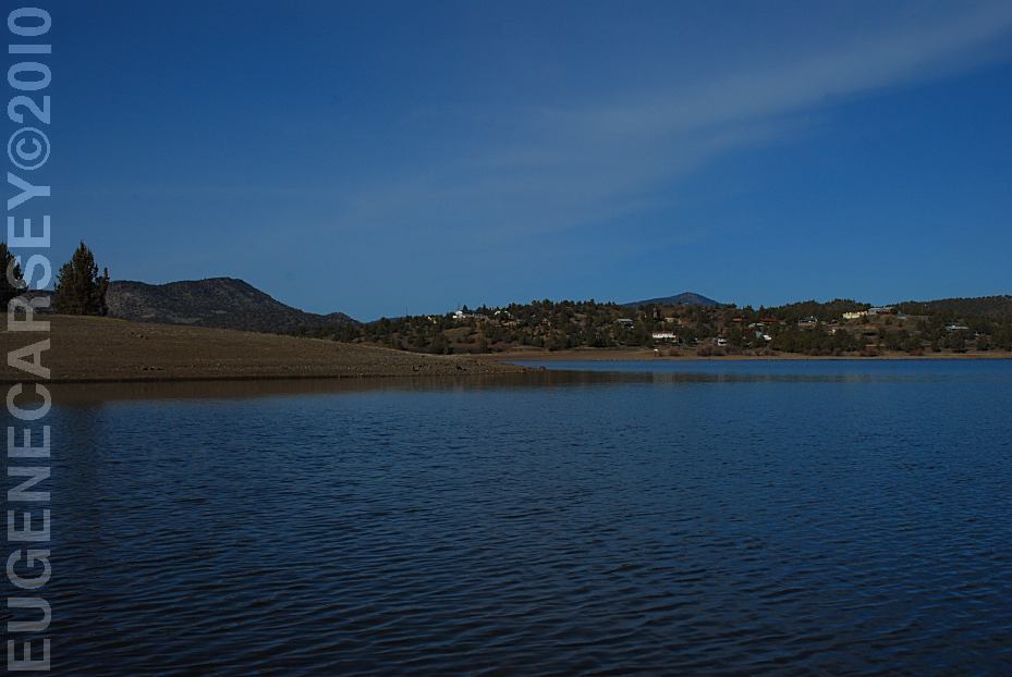
Mayfield Pond
MAYFIELD
POND RECREATION AREA
LATITUDE: N 44°04.980
LONGITUDE: W 121°07.830
Elevation: 3290'
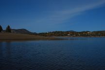
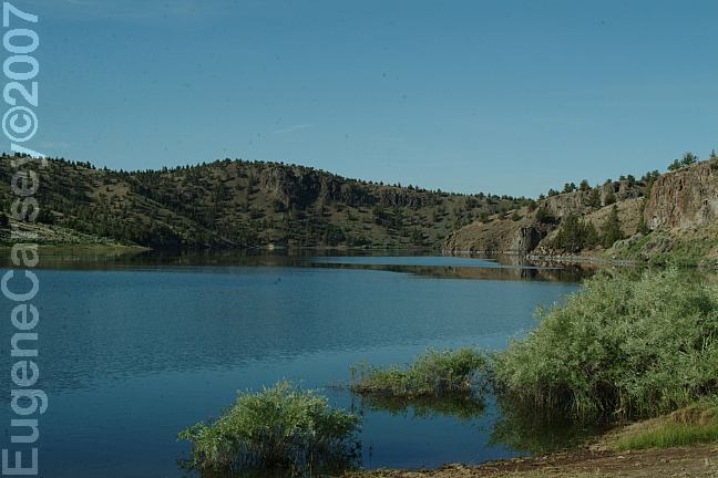
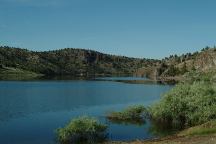
Prineville Reservoir
Viewed from Roberts Bay East #1 Campground
ROBERTS
BAY RECREATION AREA
LATITUDE: N 44°06.810
LONGITUDE: W 120°42.020
Salt Creek Road for 8 miles
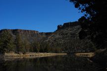
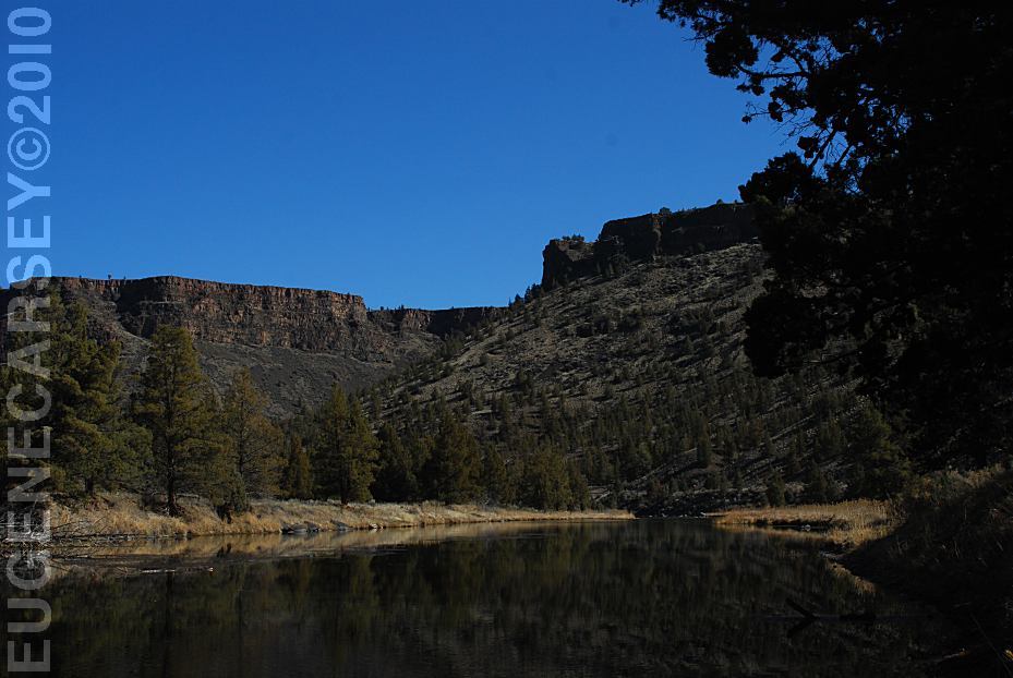
Crooked River
Viewed from Still Water Campground
LOWER
CROOKED RIVER
LATITUDE: N 44°09.755
LONGITUDE: W 120°49.833
North Shore Road
View from Cattle Guard Campground
NORTH
SHORE ROAD
Free campgrounds along the
North Shore of Prineville Reservoir
|