|
|


|
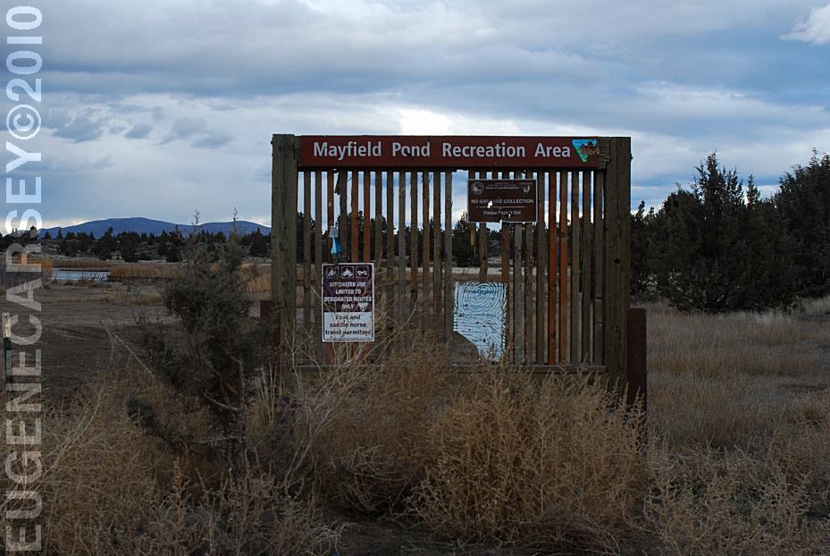
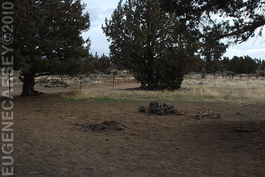
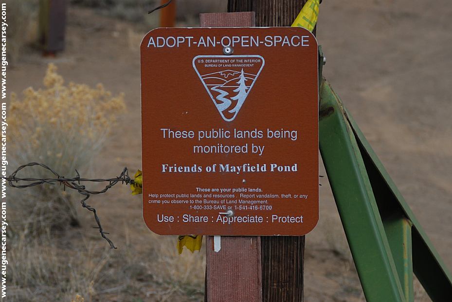
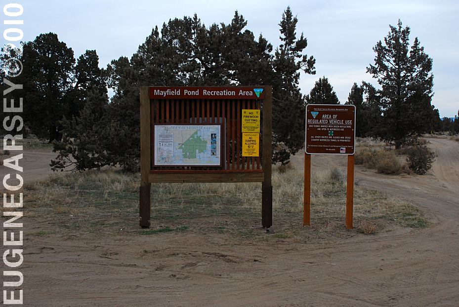
Free camping and campgrounds |
|
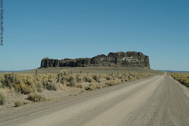
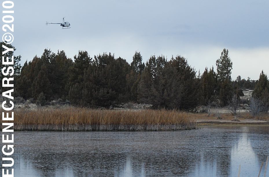
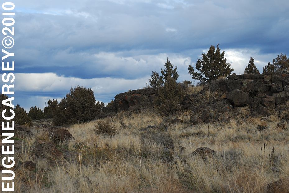
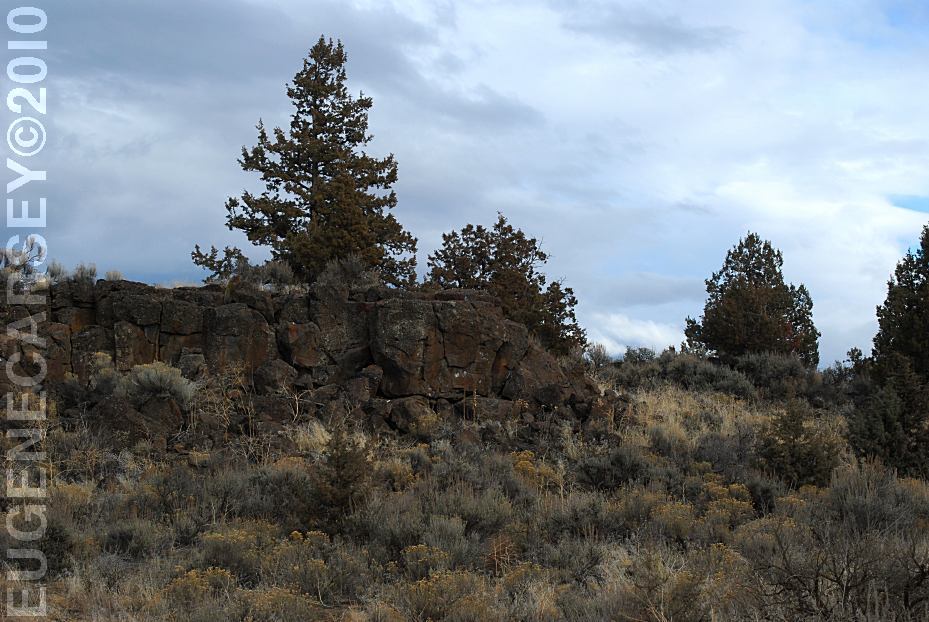
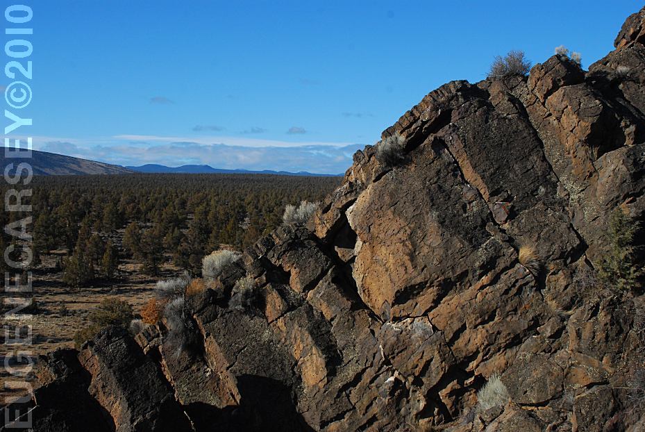
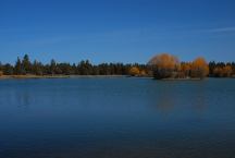
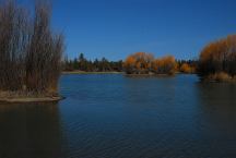
19,500 Acres
|
|
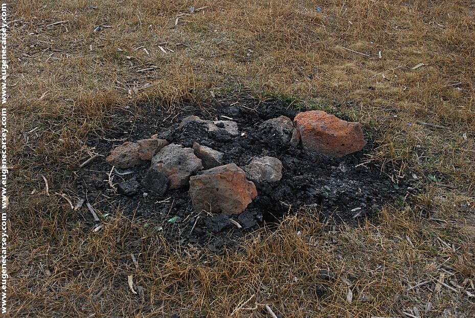
No Firewood Cutting |
|
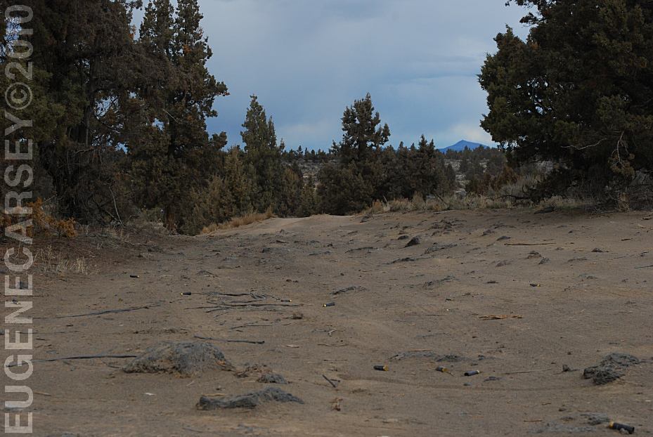
There is litter everywhere, including target
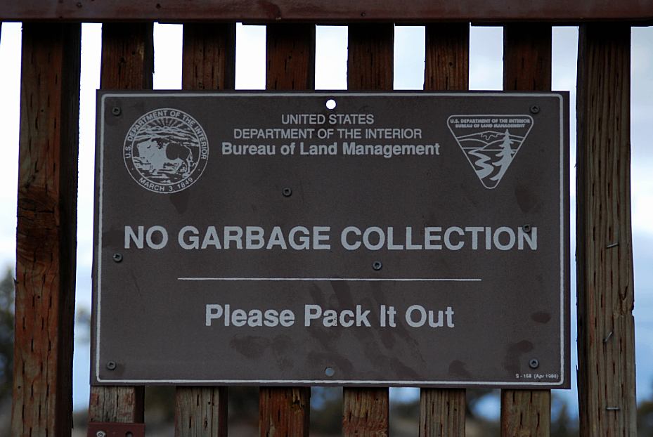
This area is regularly patrolled by law
enforcement.
|
|
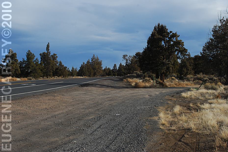
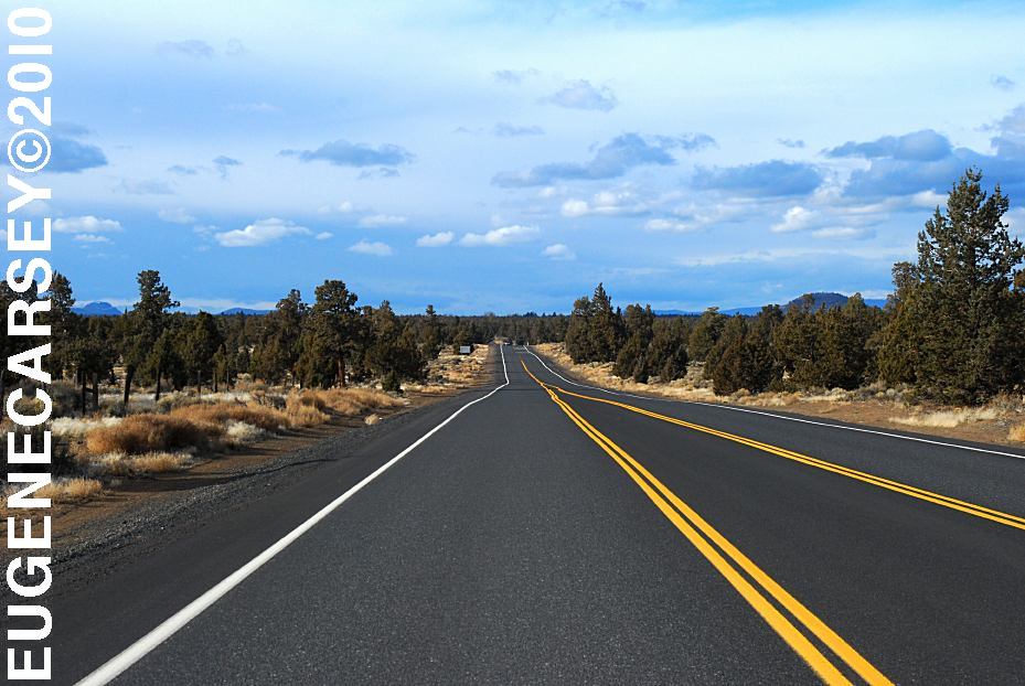
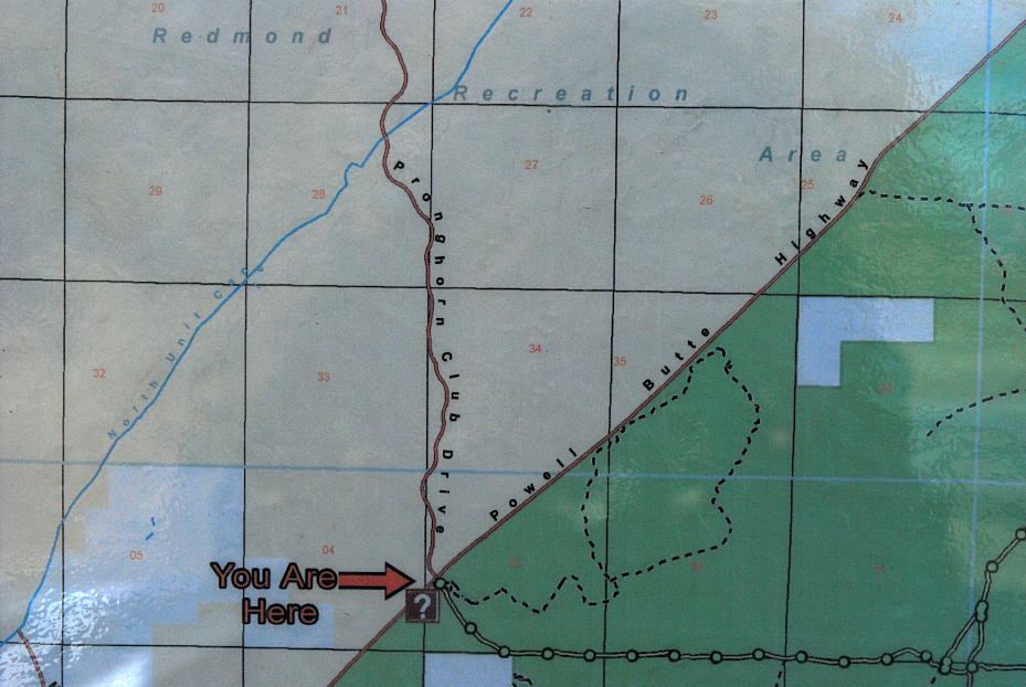
DIRECTIONS:
ROAD CONDITIONS:
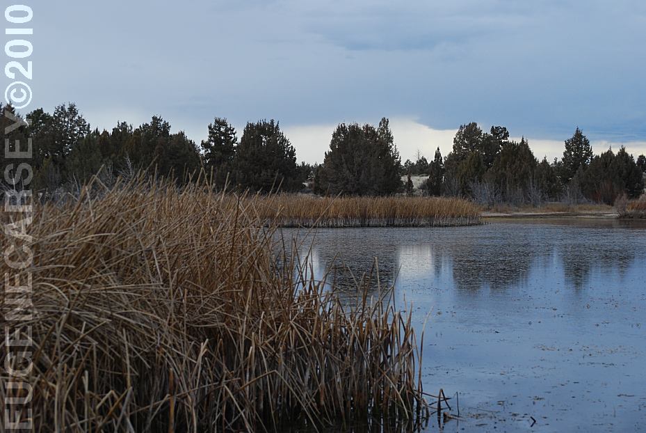
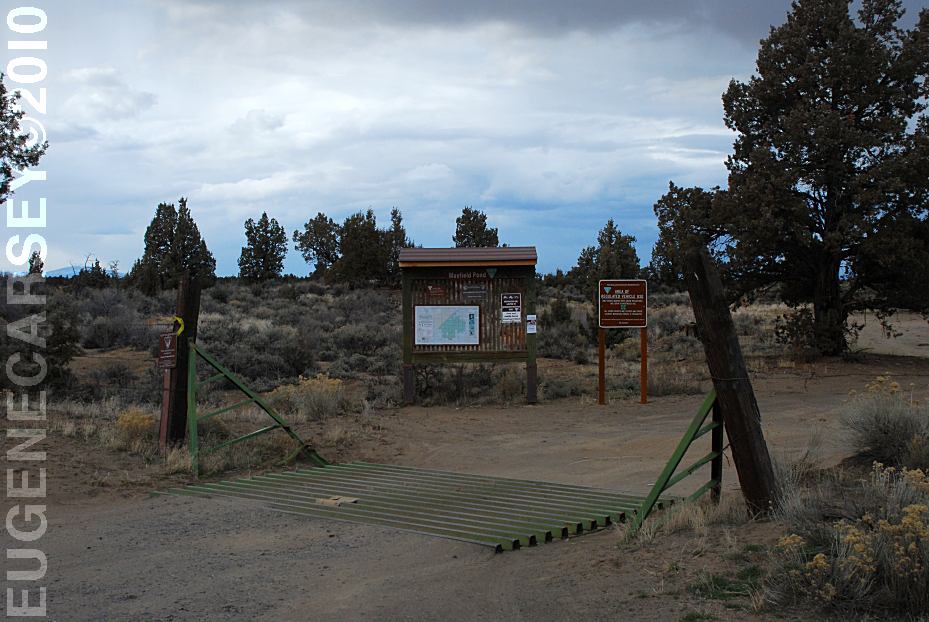
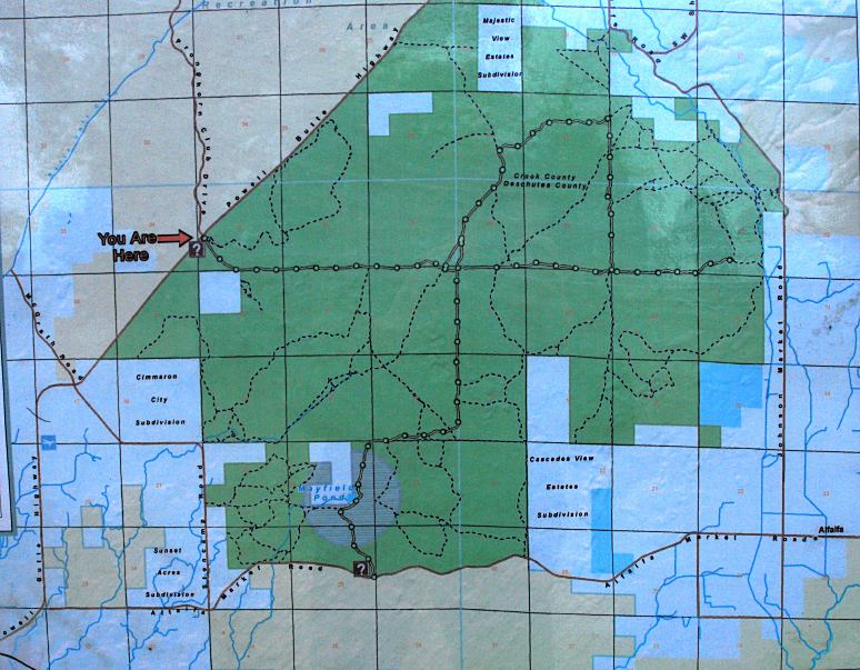
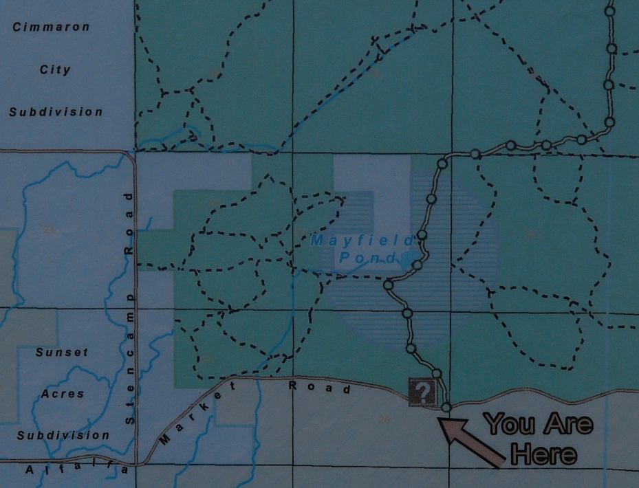
Mayfield Pond can be found on the MILEAGE CHART Airport 2 Miles IT IS YOUR RESPONSIBILITY TO
KNOW PHOTOS HERE Showers at Ochoco Lake County Park PHOTOS HERE Showers at Prineville Reservoir State Park |
|
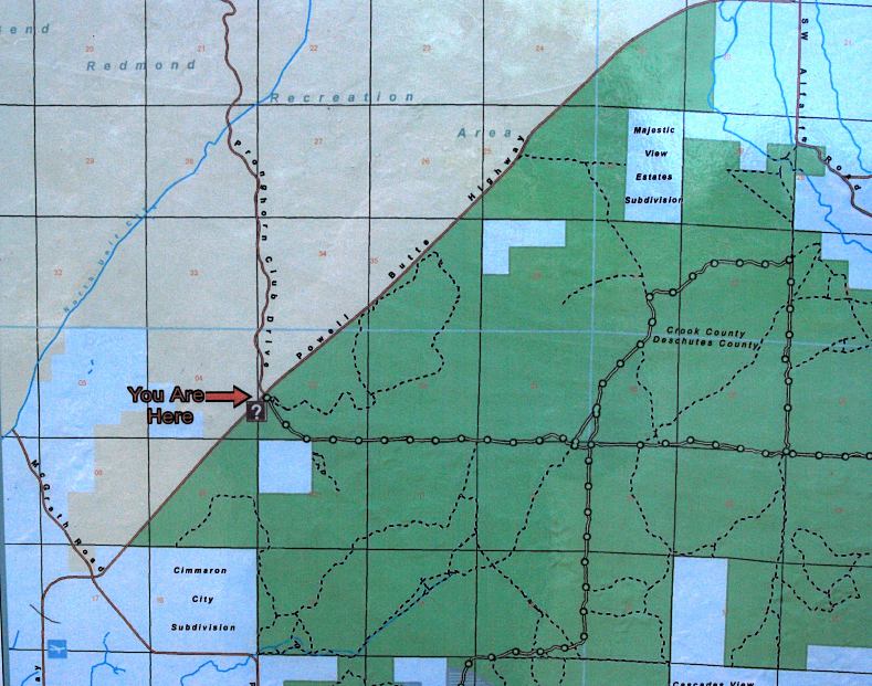
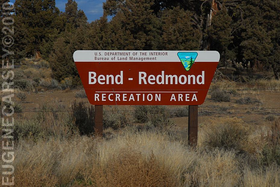
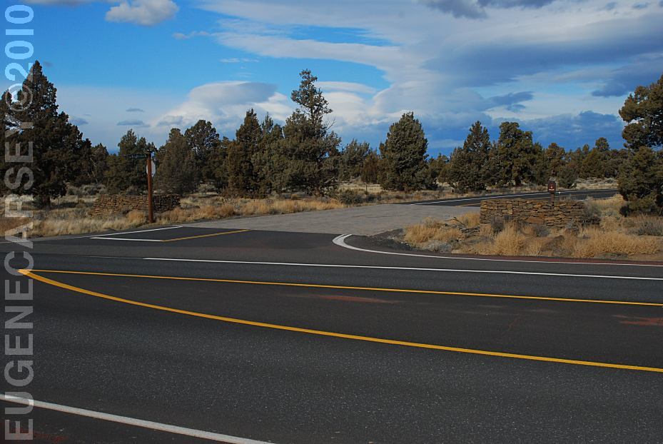
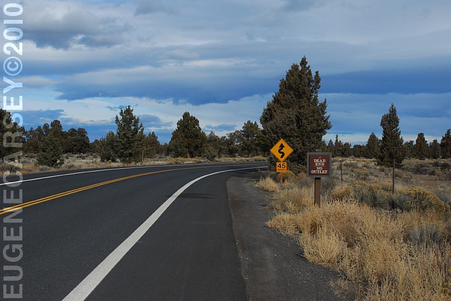
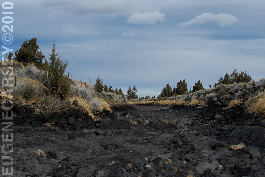
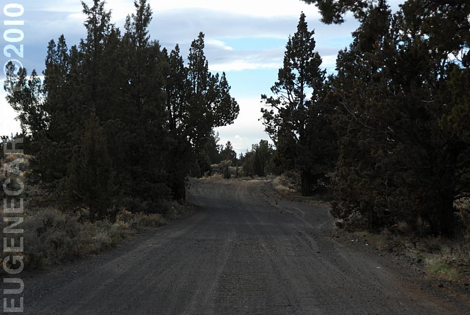
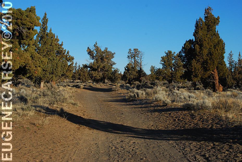
BEND - REDMOND RECREATION AREA
|
|
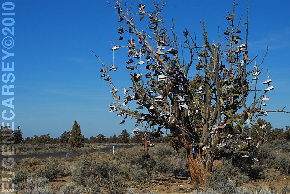
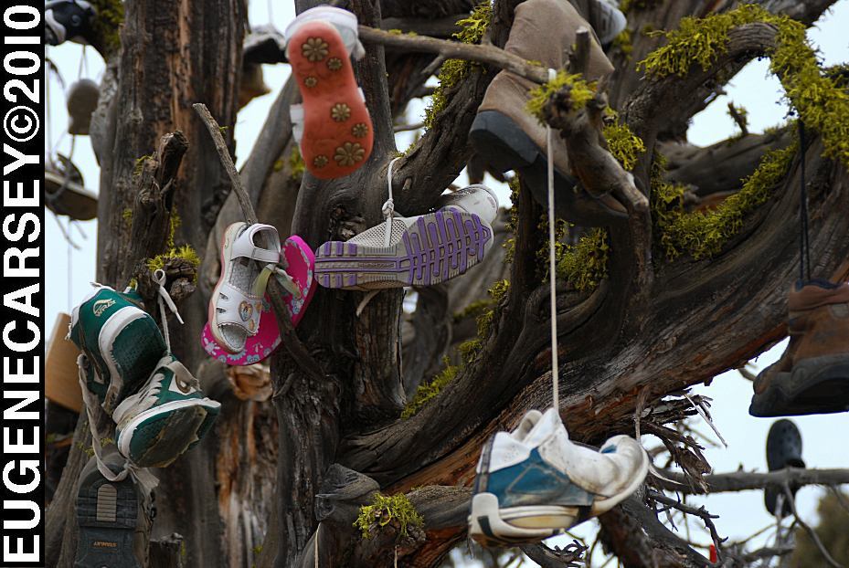
SHOE TREE
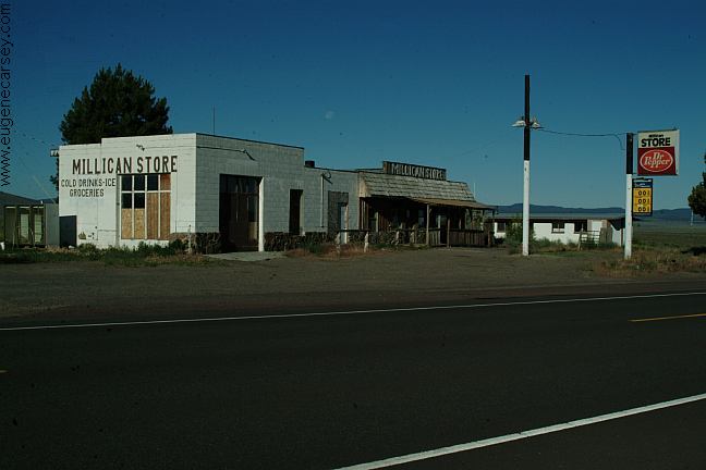
MILLICAN
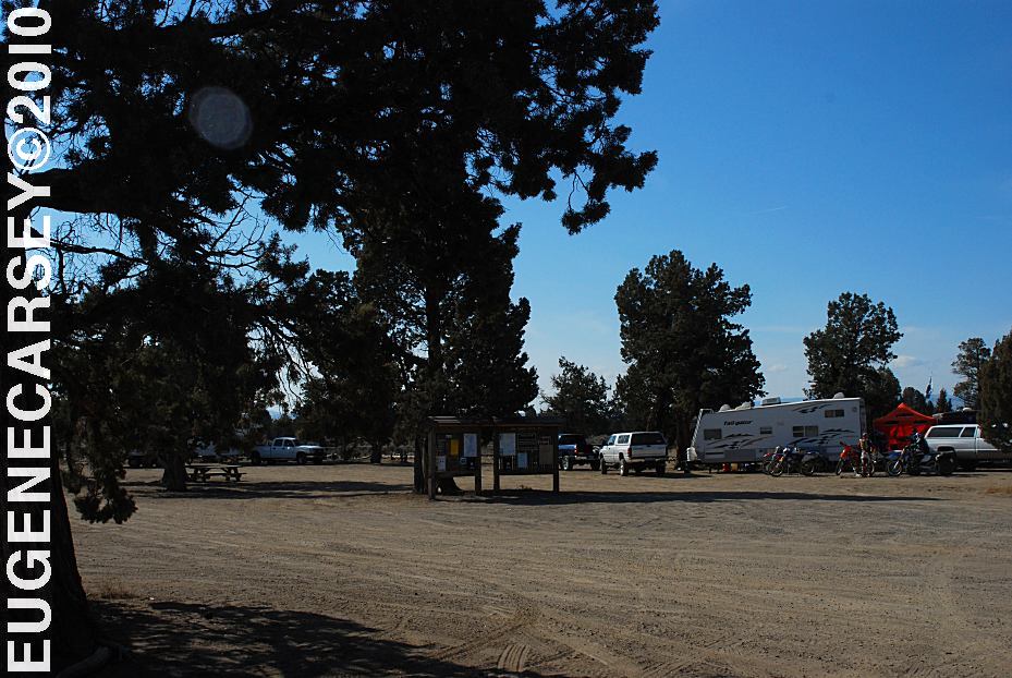
VALLEY OHV AREA
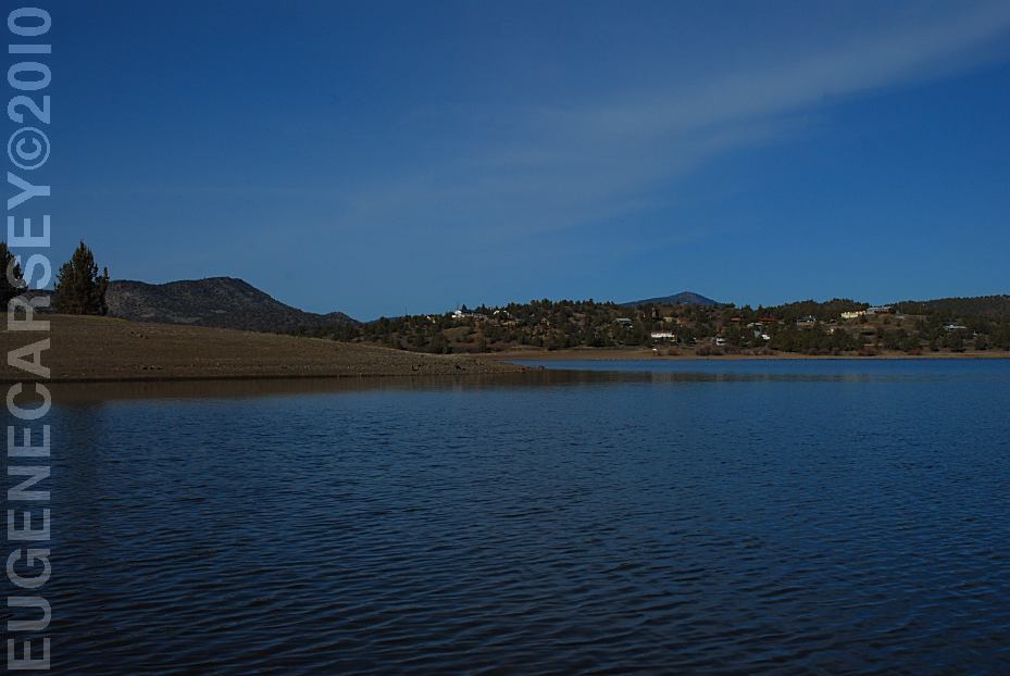
ROBERTS
BAY RECREATION AREA
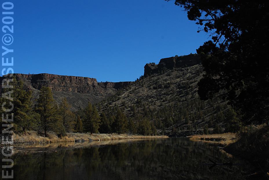
LOWER
CROOKED RIVER
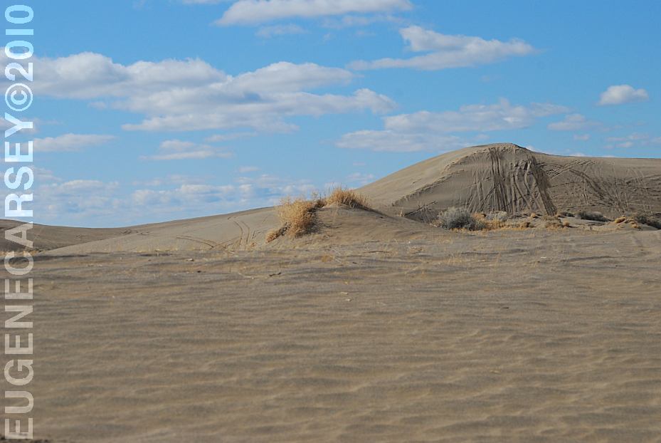
CHRISTMAS
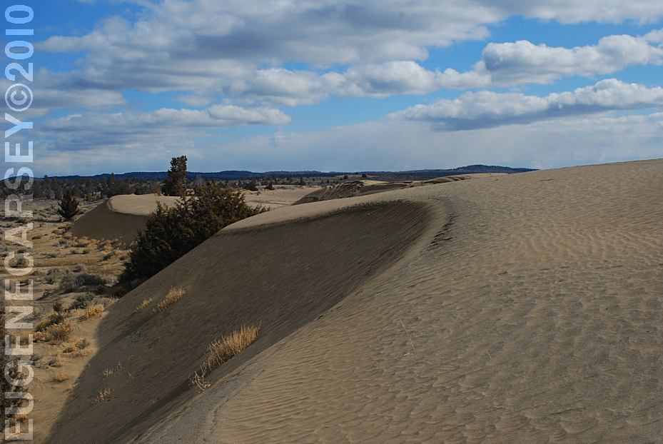
VALLEY SAND DUNES
GREEN
MOUNTAIN CAMPGROUND |
|
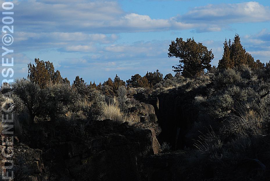
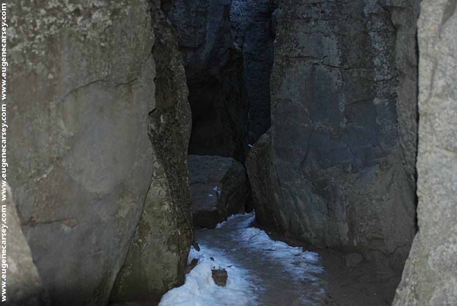
Crack In The Ground
CHRISTMAS
VALLEY SAND DUNES There are several camp areas near the
FOSSIL LAKE
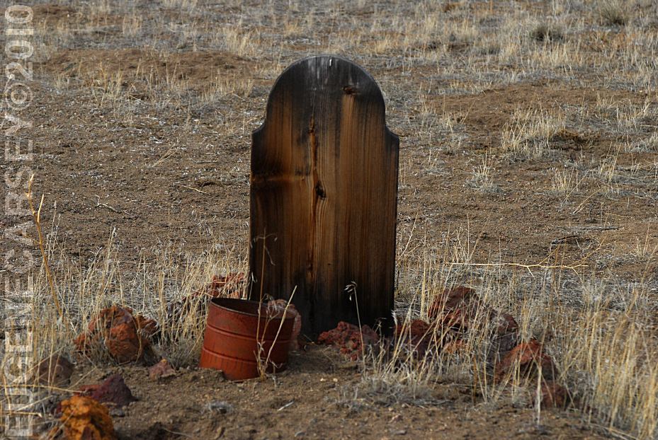
FORT ROCK CEMETERY
|